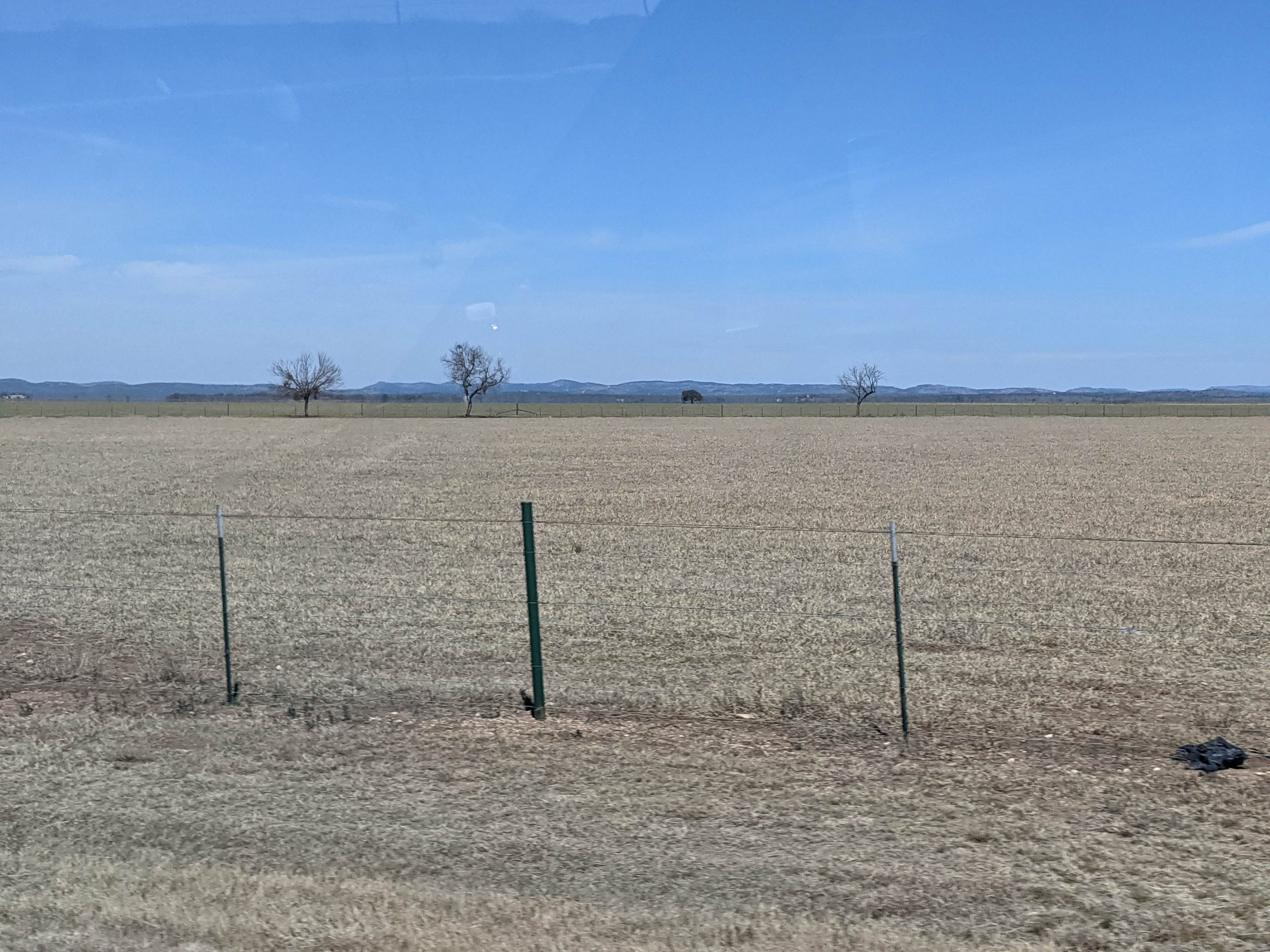
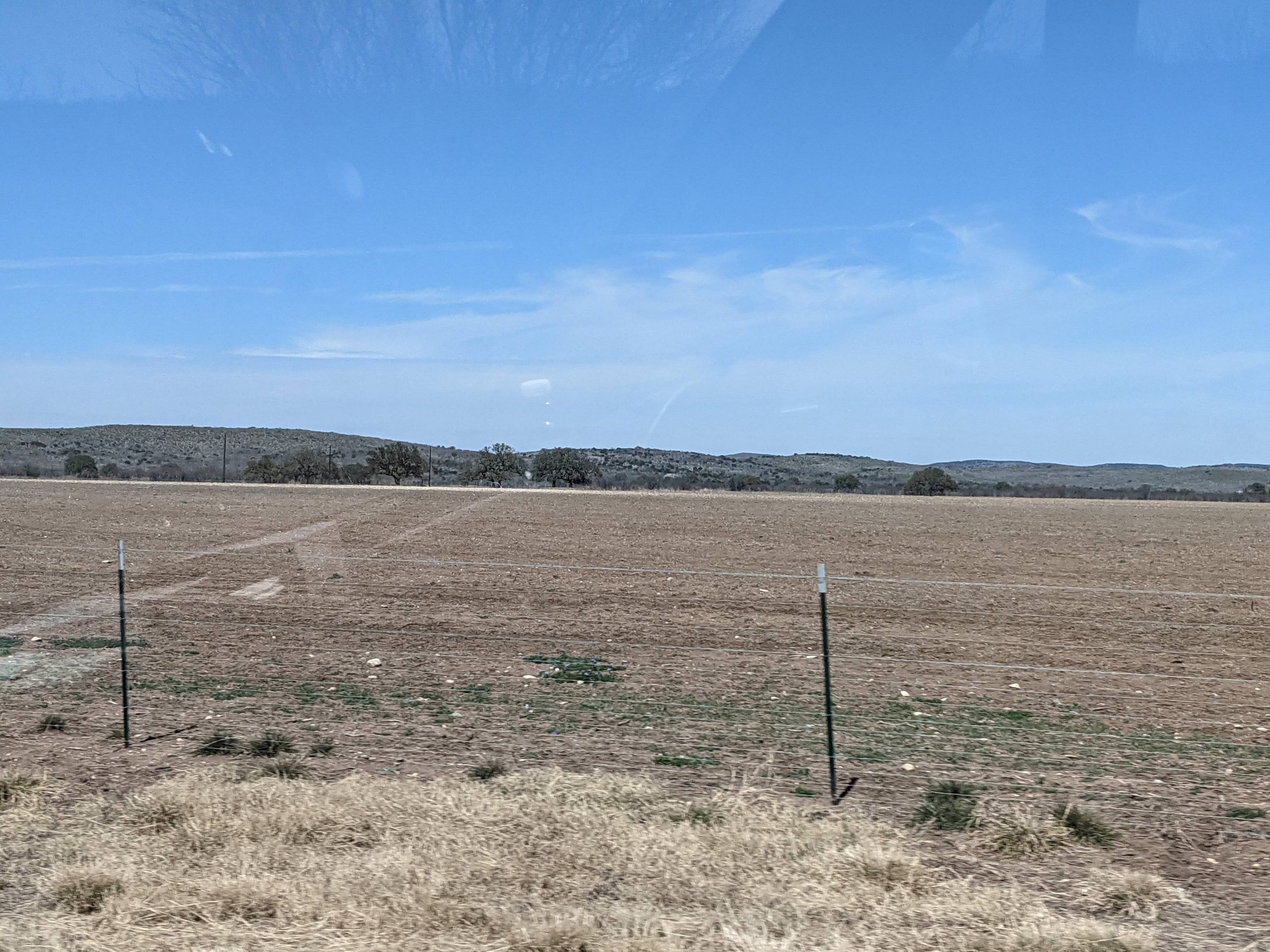
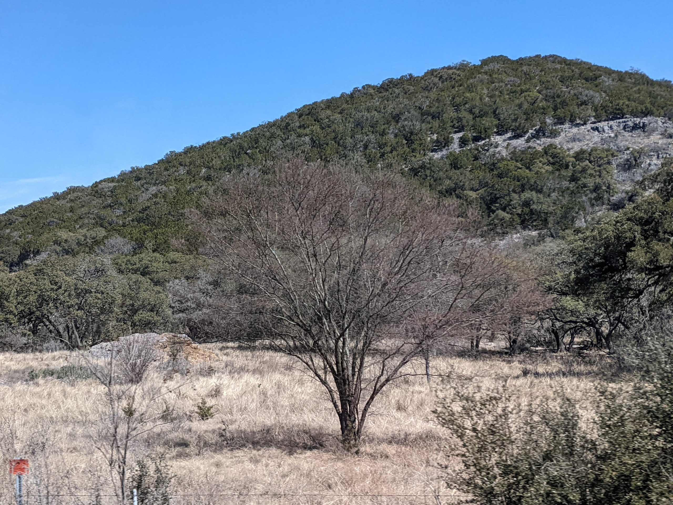
Underway at 0922 CT. Refuel at Uvalde TX, then westward. We saw the first cactus approximately 50 miles east of San Antonio. Lunch at R-BBQ (brisket) in Sabinal. Huge sandwich and tacos. I-10 through San Antonio, then 90 West. All the country is very dry, little water in the many creeks. Flat, yet the elevation is rising. We started at 100 feet elevation, San Antonio at 650 ft, Garner SP at 1000 ft. While driving, we saw “mountains” in the distance that turned out to be the hills of Hill Country which were about 700-1000 feet above the plain. Gray swaths of what we think are mesquite trees. Lots of air plants on the trees, balls that are not moss.
Birds we’ve seen today:
- Titmice. Weren’t sure if they were eastern or black capped, so we’ll have to look for the dark crest.
- Black vulture.
- More of those confusing hawks.
- House finches, cardinals, doves.
- Some kind of towhee: gray cap, rufous/orang-y/ red breast and shoulders, white belly. Size of sparrow.
Garner State Park is on the Frio River. We walked to the overlook of the Frio River, then down the original entrance road built by the CCC in the 1930s to the old entrance. Back through the cedar and mesquite on the rocky Wild Horse Creek Trail. We sat outside listening to birds while our chicken dinner marinated. The air is very dry. Ultimately, Deb ate her leftover brisket taco. Jim’s slug of the Bob Senior brisket burger sat heavy in his stomach, so he had carrots and hummus. No cell service for Verizon, but we found later that one of the camp buildings has Wi-Fi. Jim did an online meeting and we did some email, but it was getting cold to be outside. No TV reception, so we had a low-tech night on tablets in the RV. In bed at 11pm for a long drive to Big Bend tomorrow.