
Driving to Albuquerque
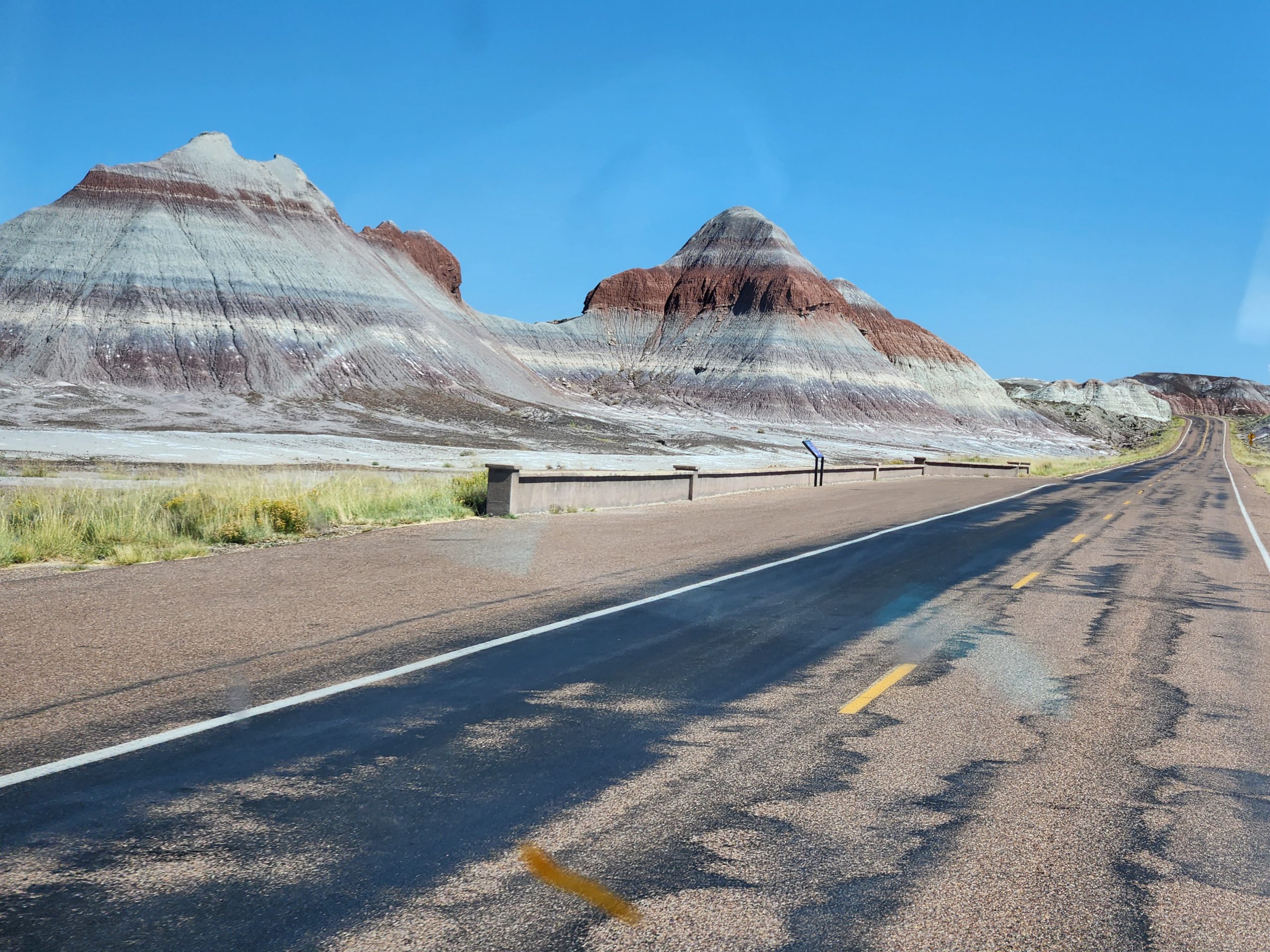
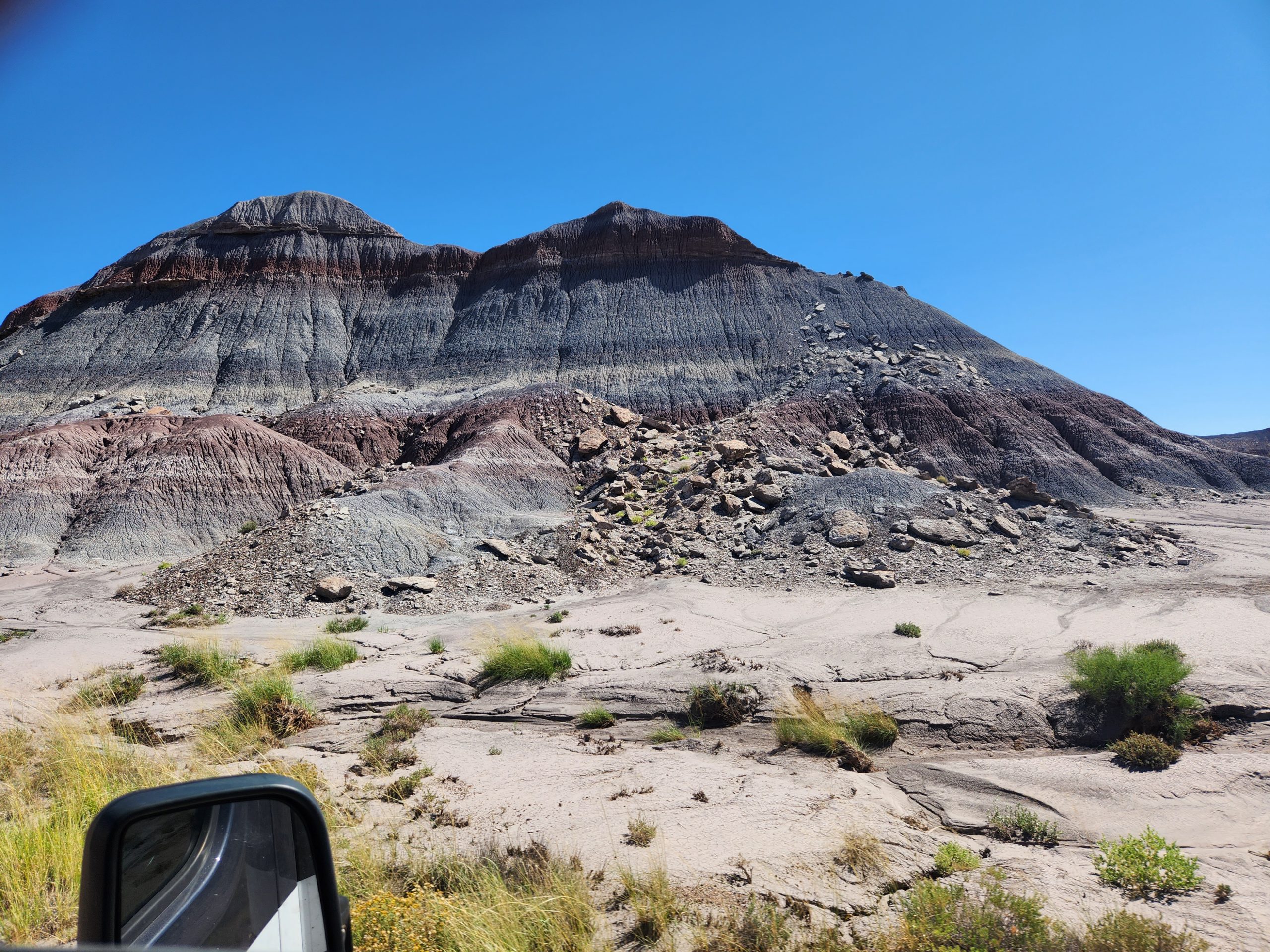
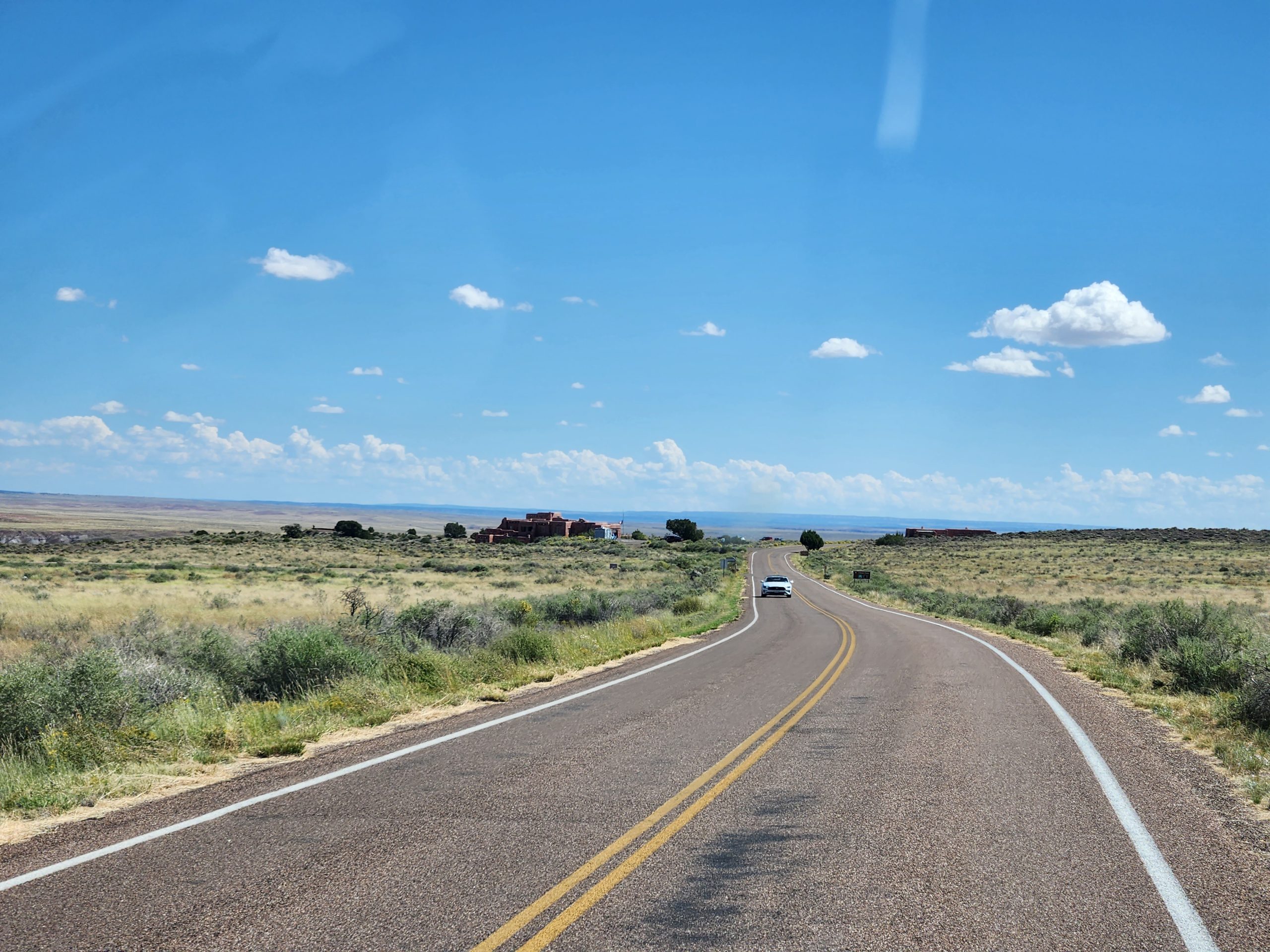
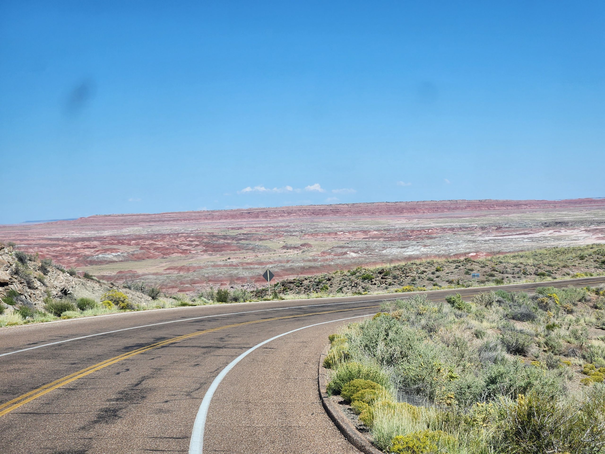
Today, Monday, 9/19, we left Homolovi SP and headed east, with the ultimate destination being the family camp at Kirtland AFB. Along the way, we detoured to the Petrified Forest NP and drove through a bit of the Painted Desert. The road through this joint park is like a washboard, so the Goose was bucking up and down all 27 miles. I think the Goose needs stronger front shocks.
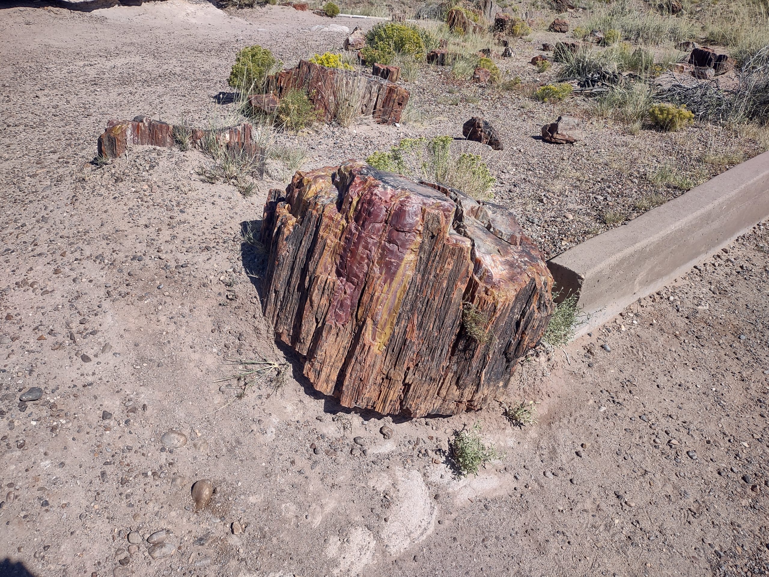
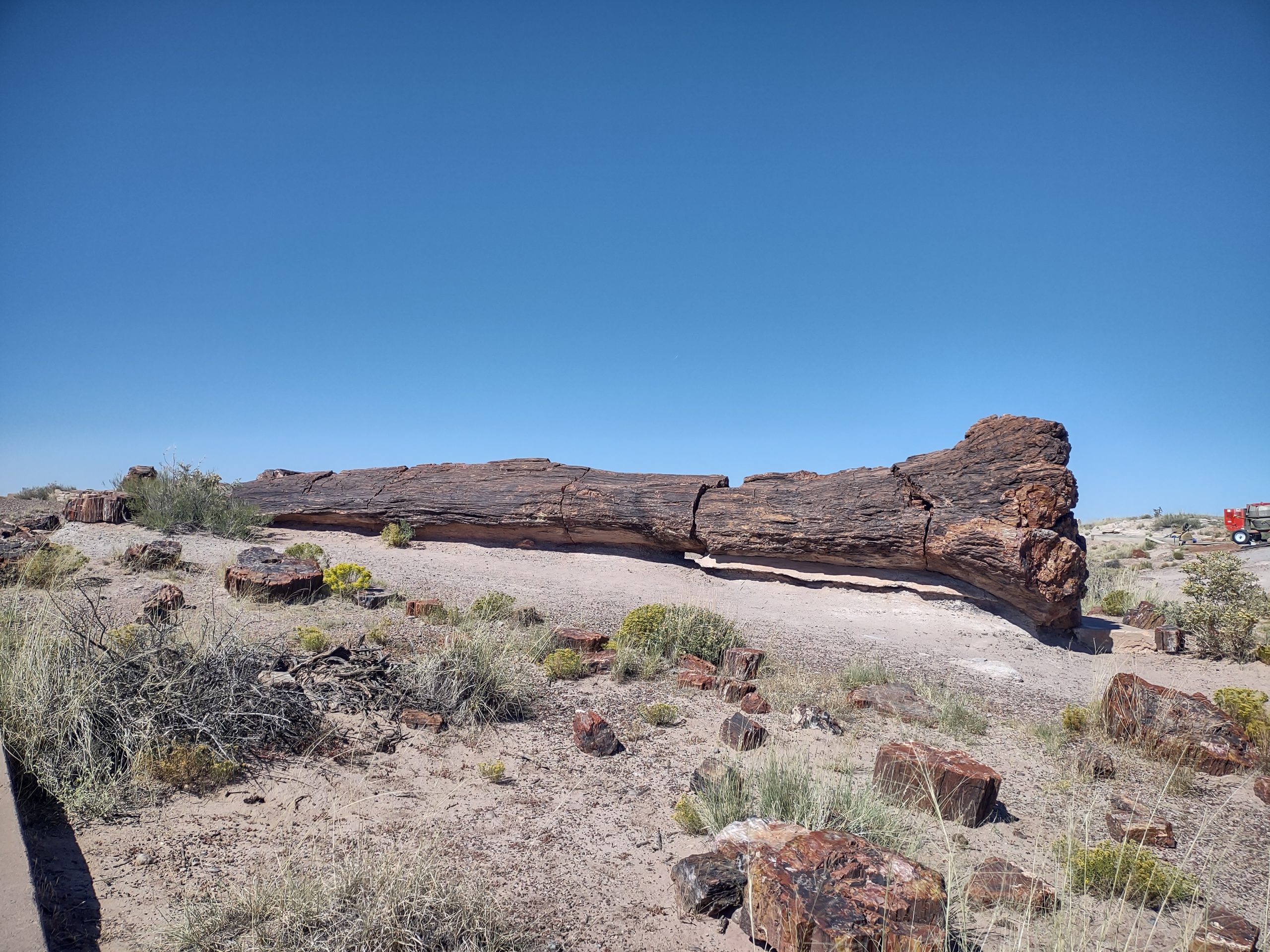
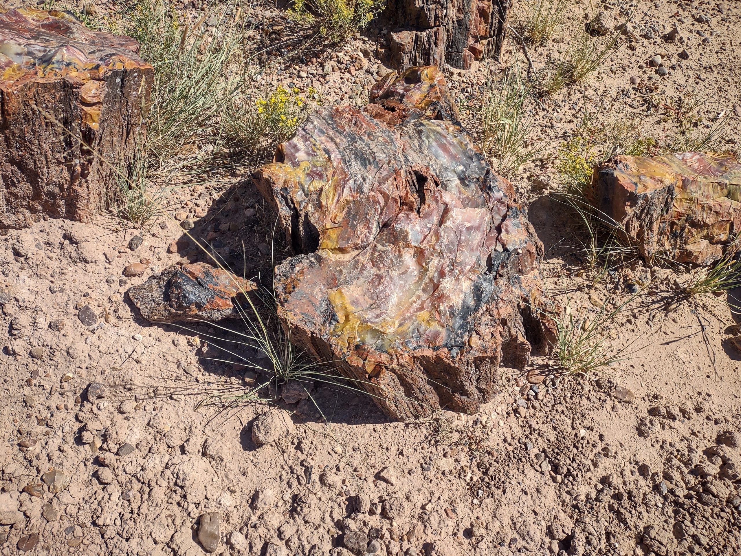
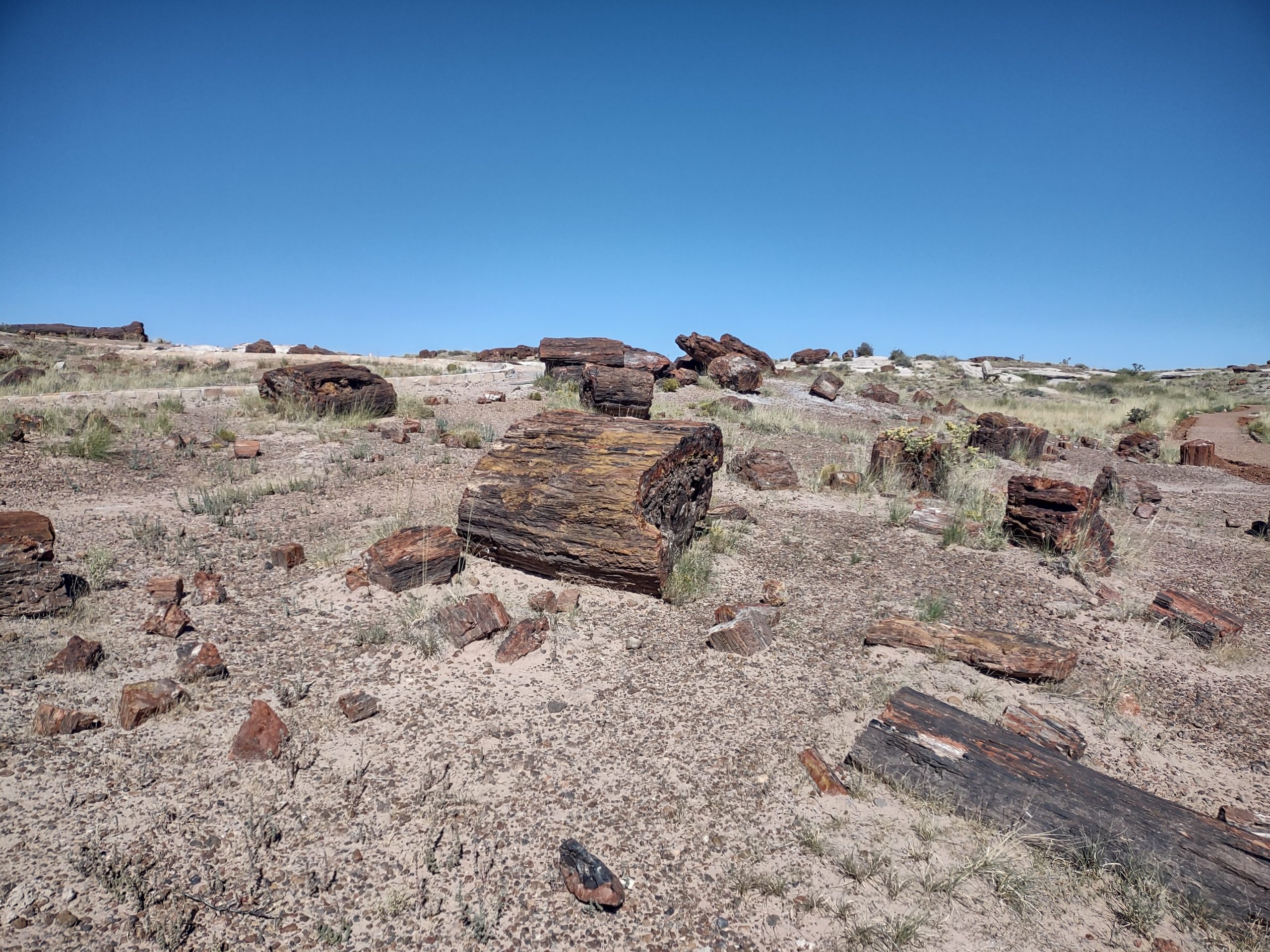
We were surprised by all the color in the petrified wood. The trees, which fell when dinosaurs roamed, were covered with silt, then volcanic ash. They absorbed a lot of minerals, which explains the colors.
The Painted Desert is mostly red, of many hues, with white/ blue/ gray/ green thrown in. We were in a hurry, and we’ve seen lots of rocks by now, so we simply drove through.
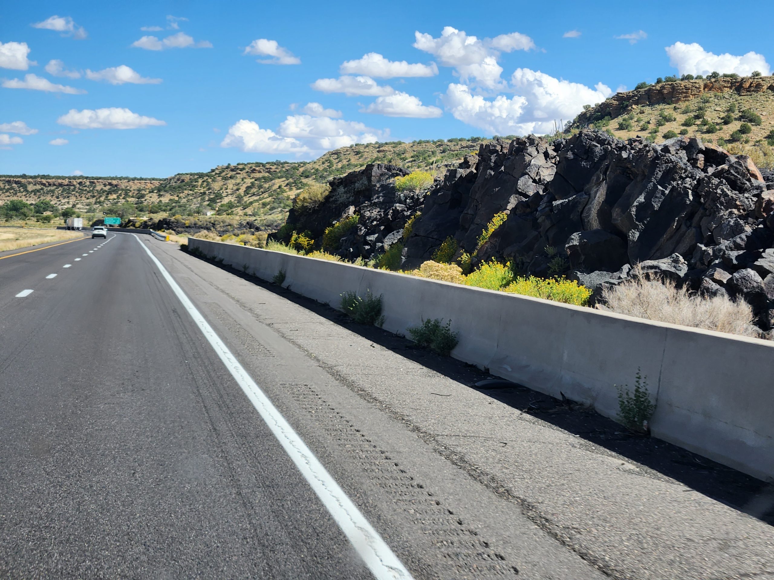
We ate lunch at El Charritos in Gallup NM: very tasty. We continued on I-40 to Albuquerque, and passed through El Malpais, a lava field through which I-40 passes.
We had to detour nearly the entire circumference of Kirtland AFB to find the open security gate. The FamCamp is first-come, first-served, so we are glad there was an open pull-through spot. Otherwise, we would have dry-camped in overflow and hoped for a site tomorrow.
We’ll get the Goose’s AC diagnosed tomorrow, and hope it’s something simple like a starting capacitor for the compressor motor. We’ll probably stay at Kirtland for a few days to rest from the long drives and worry.
Homolovi ruins and La Posada: AC failure
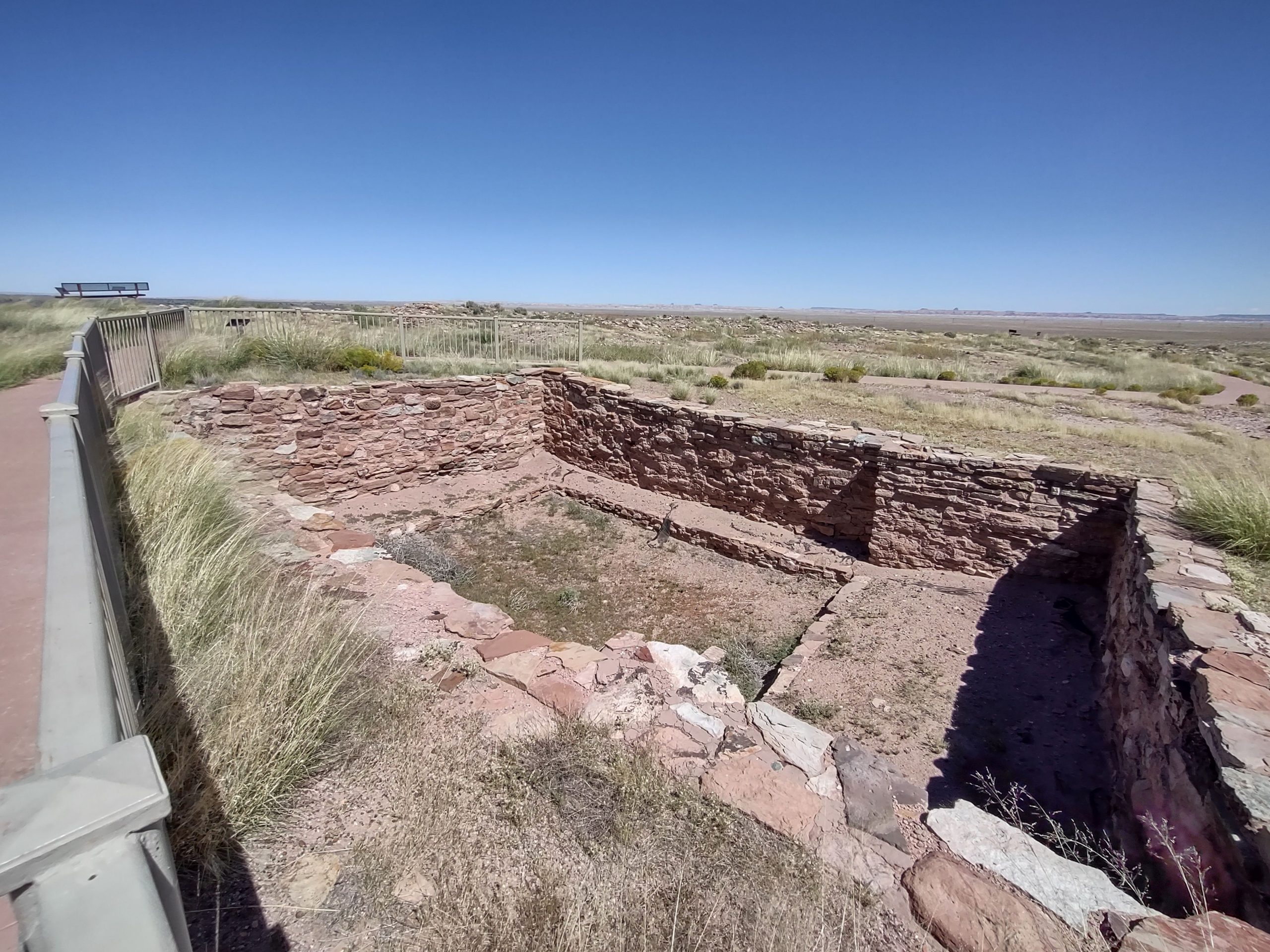
As we had previously decided, we stayed at Homolovi SP a second night. On Sunday, 9/18, we toured two of the four Homolovi tribal ruins. They have been excavated and restored, with some signs of treasure hunters destroying them in the search for goodies. One kiva has been restored for tourists to understand. Otherwise, there really aren’t any recognizable structures. These native Americans built these towns near the Little Colorado river to use its water for agriculture. The towns were abandoned about 1400 AD, when the tribes moved 60 miles north to the mesas where they still lived.
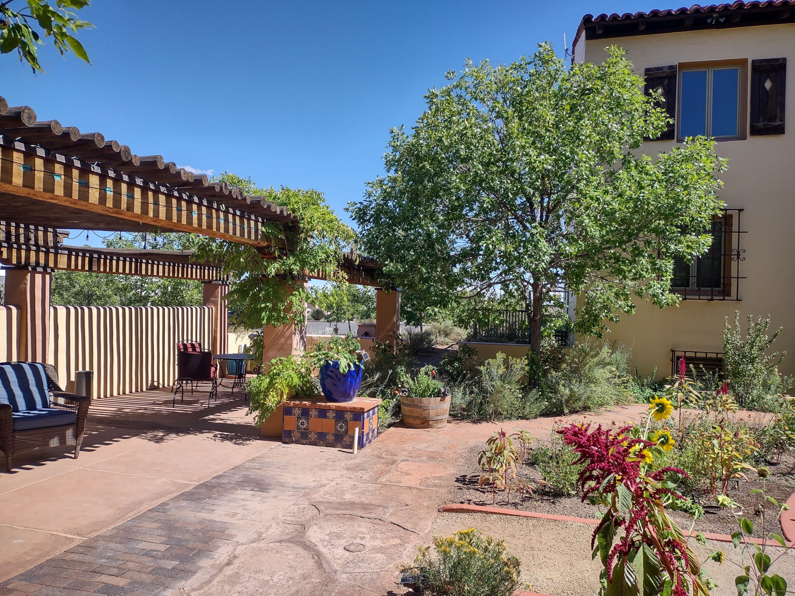
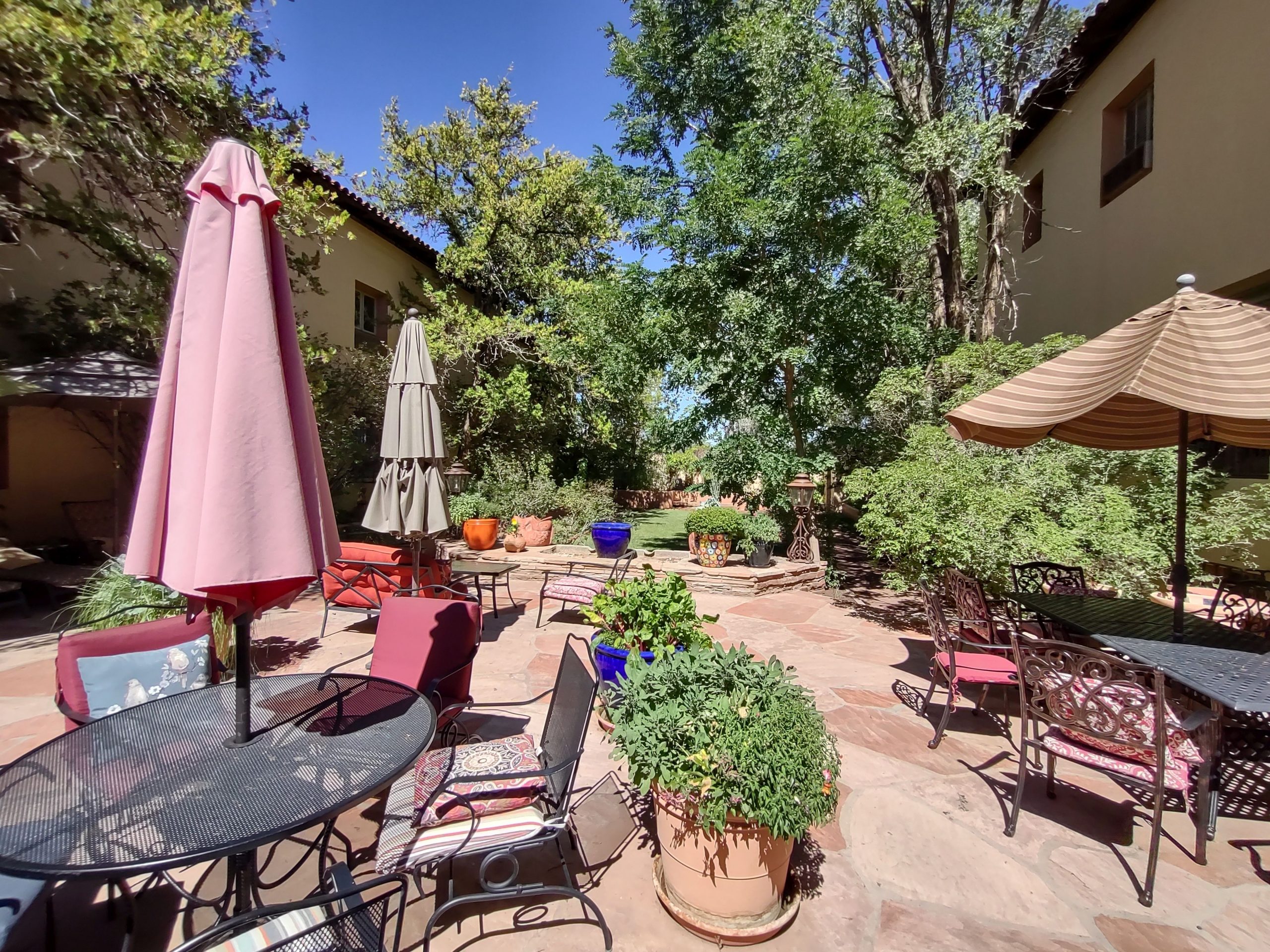
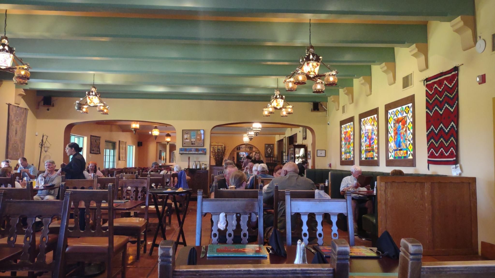
Then we went into Winslow for lunch, choosing to eat at the Turquoise Room in the La Posada hotel. While waiting for our table, we wandered around the galleries, looking at the art of the female co-owner, Tina Mion. We went into the sunken garden and outside to the gardens. The food was great, with excellent service.
Back to Homolovi SP, where we discovered the coach air conditioner of the Goose was not producing cold air. Jim went into the guts of the system and couldn’t discover anything wrong. For now, we’ll use our vent fans and put up with the heat, hoping cooler days are coming. When we get to Albuquerque tomorrow, we’ll seek a diagnosis.
St. George to Winslow
Saturday, 9/17/22, our 39th anniversary!
We woke a little late, so scrambled to load our stuff back into the Goose from the hotel room. That includes the cases of wine we’ve collected, but couldn’t leave in the Goose due to Goose’s internal temperature without AC. Also, we don’t have suitcases, so all our clothing and other stuff were in shopping bags. Fueled the Goose and rental car and made the return to Avis. We’re feeling chary of the Goose’s engine, so crossed our fingers and started out. We traversed the Arizona Strip for the seventh time and climbed the mountains up to the Kaibab Camper Village outside of Grand Canyon NP. We arrived at noon, Arizona not keeping daylight savings time. We considered staying the night at the Village, as we did have a reservation. However, we thought we could make it to our next stop near Winslow AZ that day, so canceled the reservation and took off.
Driving down the mountain on US-89A was pretty hairy, but the scenery was gorgeous. The southern approach to the North Rim passes the Vermillion Cliffs, so called due to their color. We crossed the Colorado river at Marble Canyon, then a lot of up and down across valleys and rolling desert. We’ve seen several kinds of desert by now: brown grass; creosote bush and sage brush; Joshua trees; bare dirt/ minerals; grassy range land; and others. All depends on altitude and rainfall.
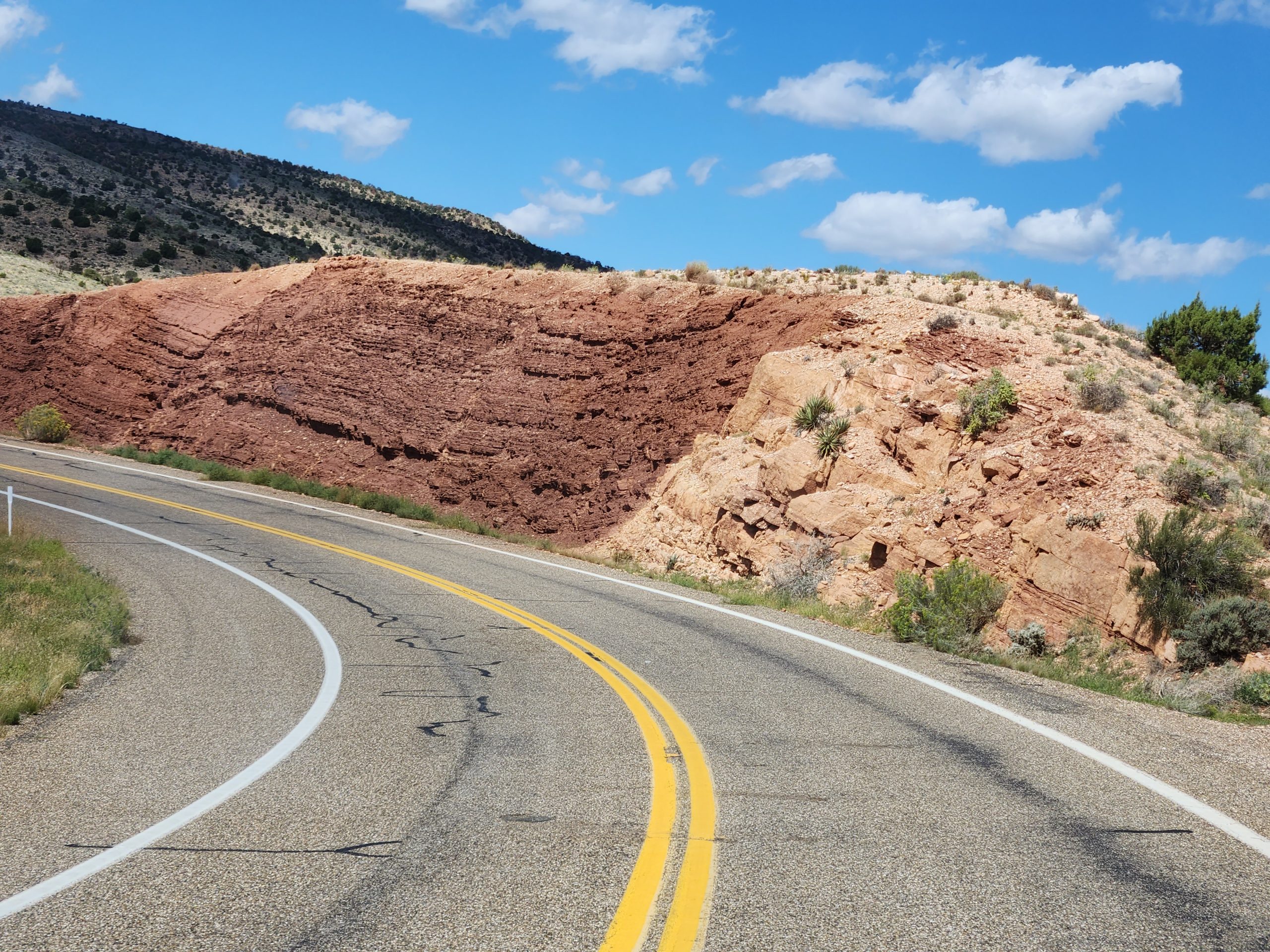
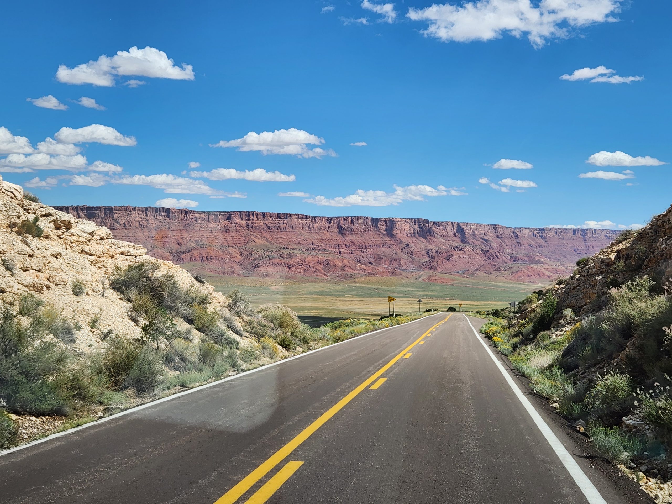
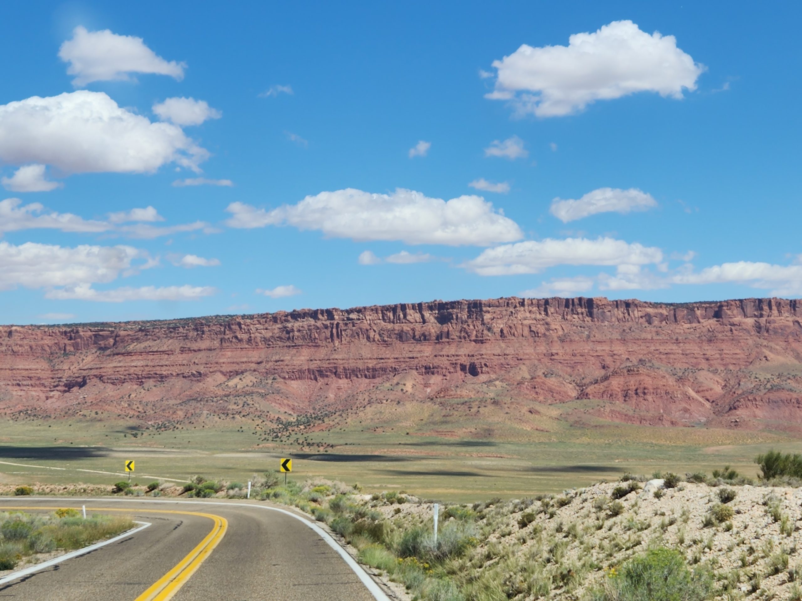
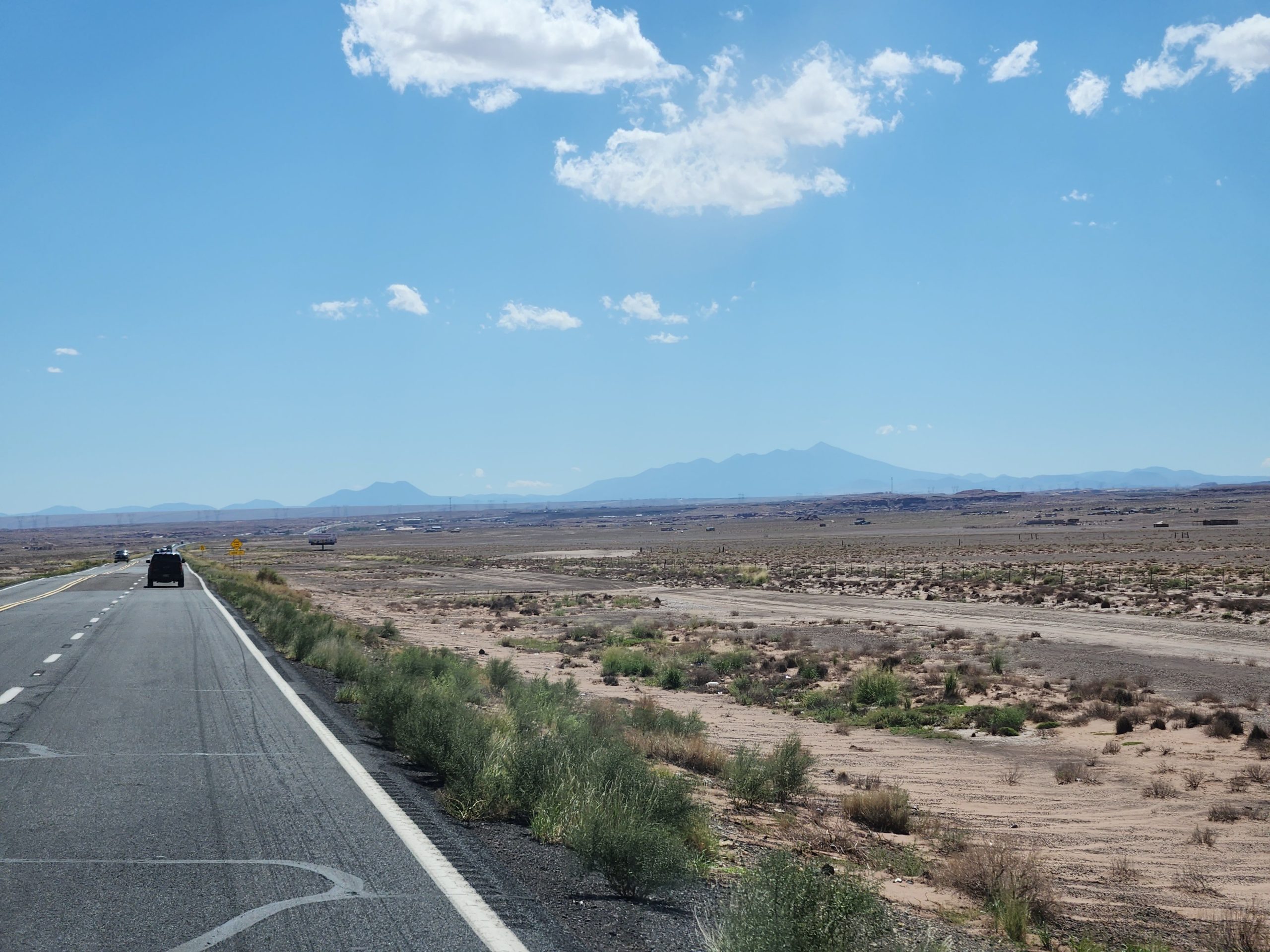
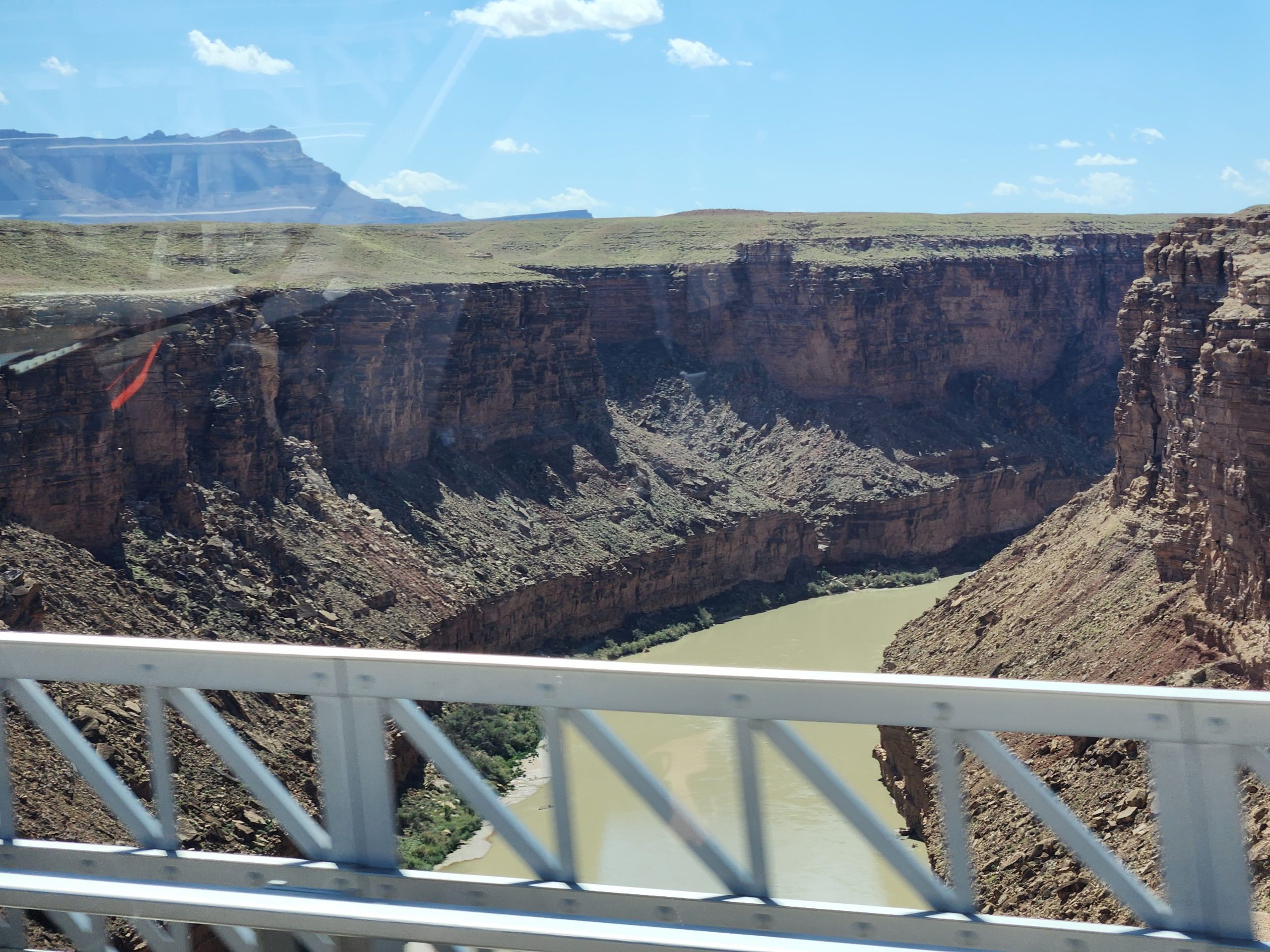
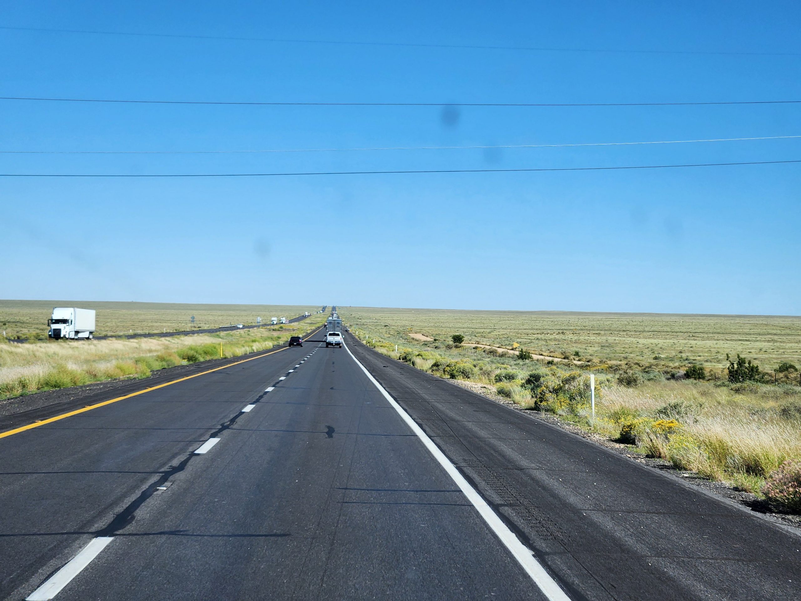
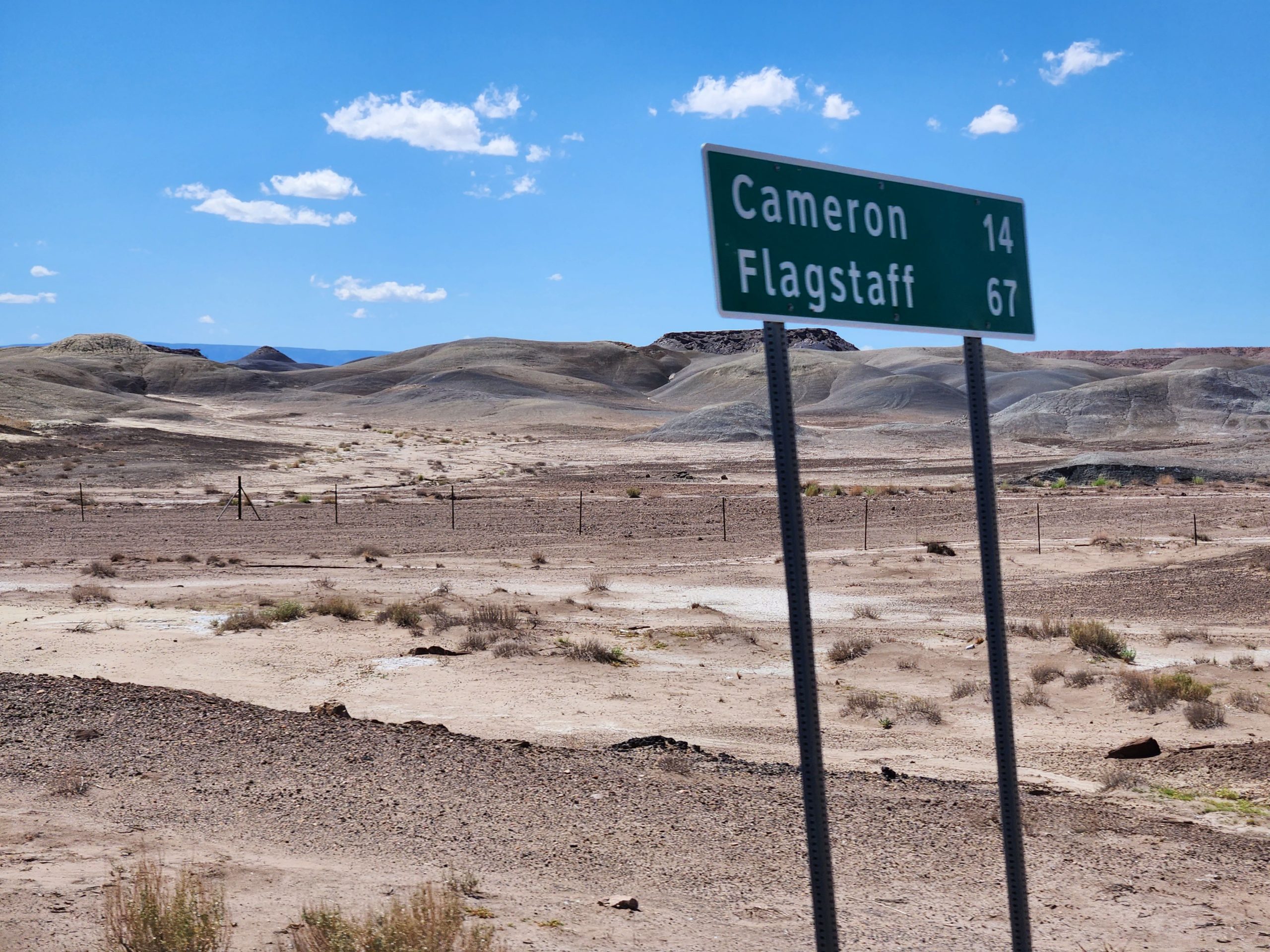
We rejoined US-89 at Bitter Springs and drove on. US-89/ 89A hold the rank of second roughest road we’ve been on, with that road in SC still leading. We climbed at Gray Mountain and at the San Francisco mountains north of Flagstaff. We joined I-40 and headed toward Winslow AZ. While traveling, Debbi arranged a camp spot at the Homolovi state park east of Winslow, where we already had a reservation for tomorrow night.
We stopped in Winslow long enough to stand on the corner, take a few pictures and look at the La Posada hotel, which was designed to house rail passengers and reportedly the most glamorous hotel on the Sante Fe railroad.
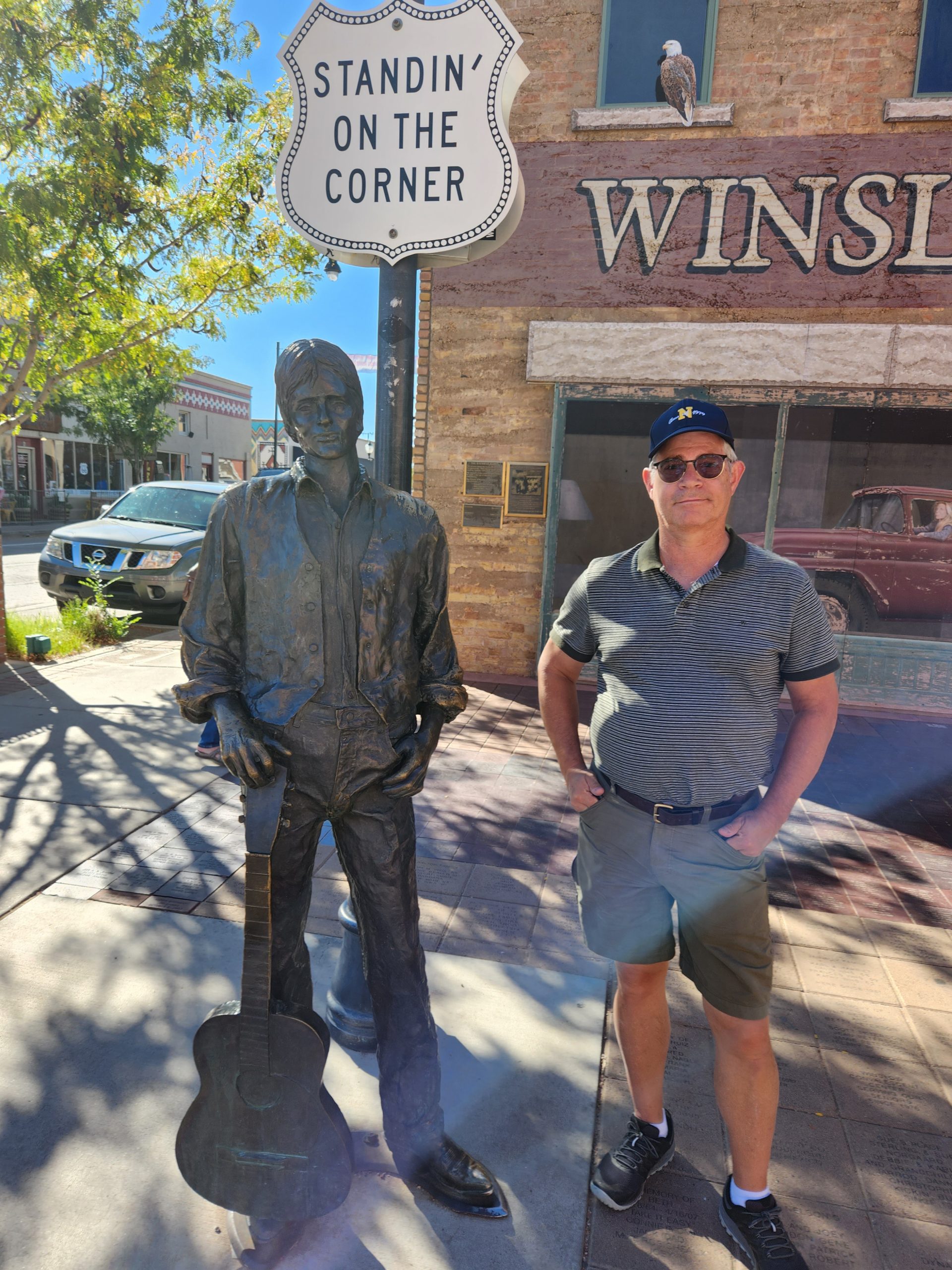
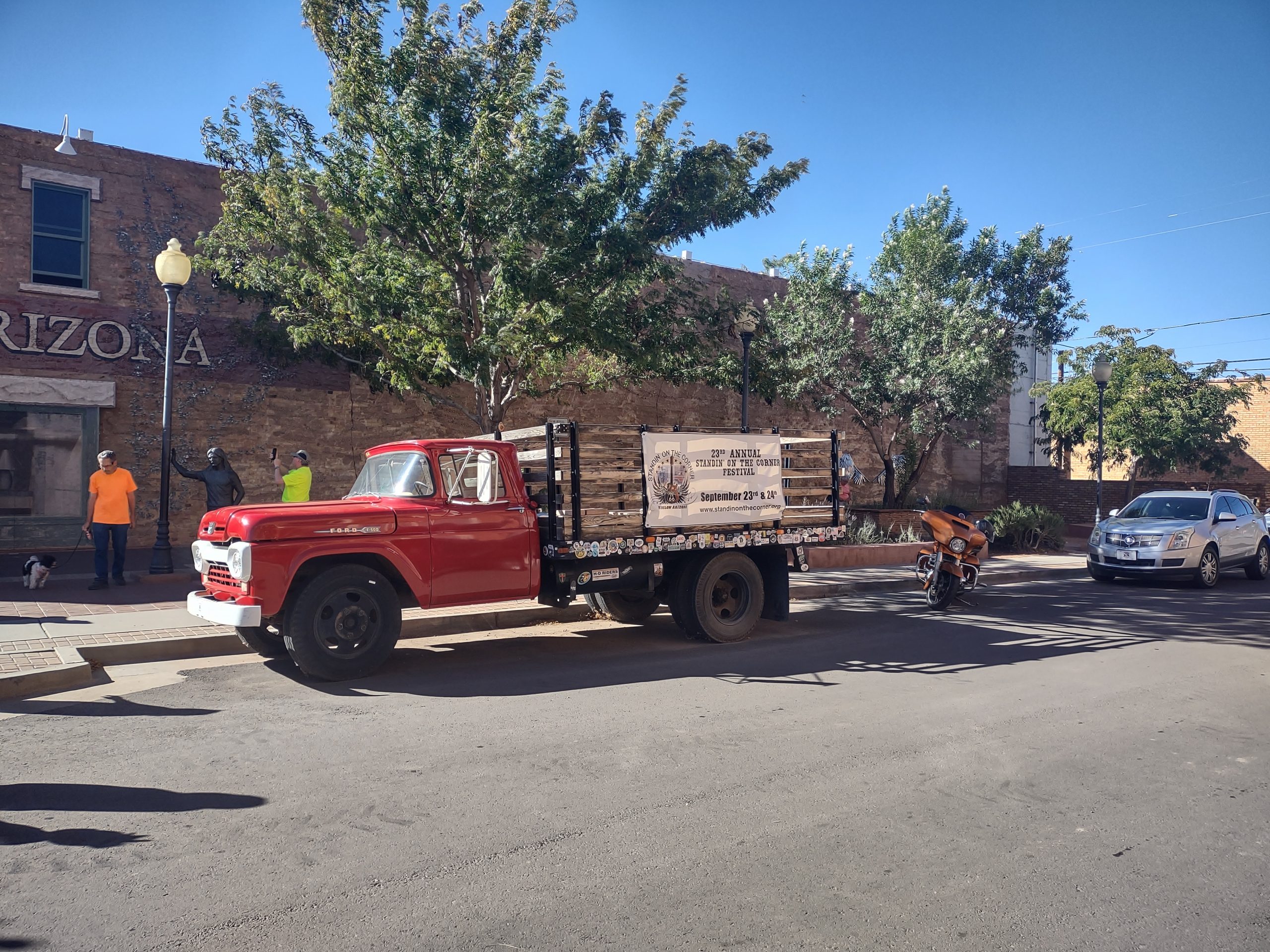
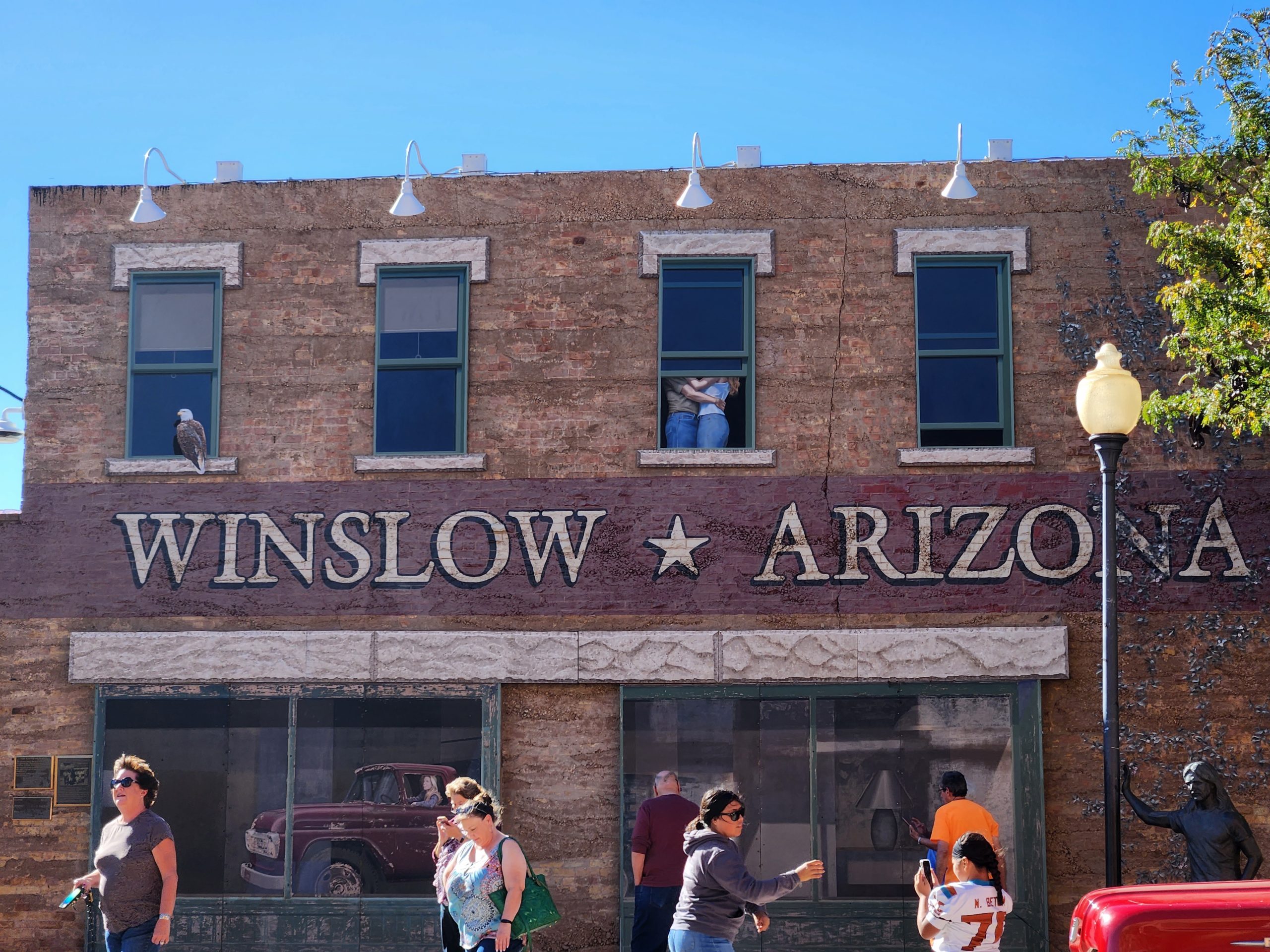
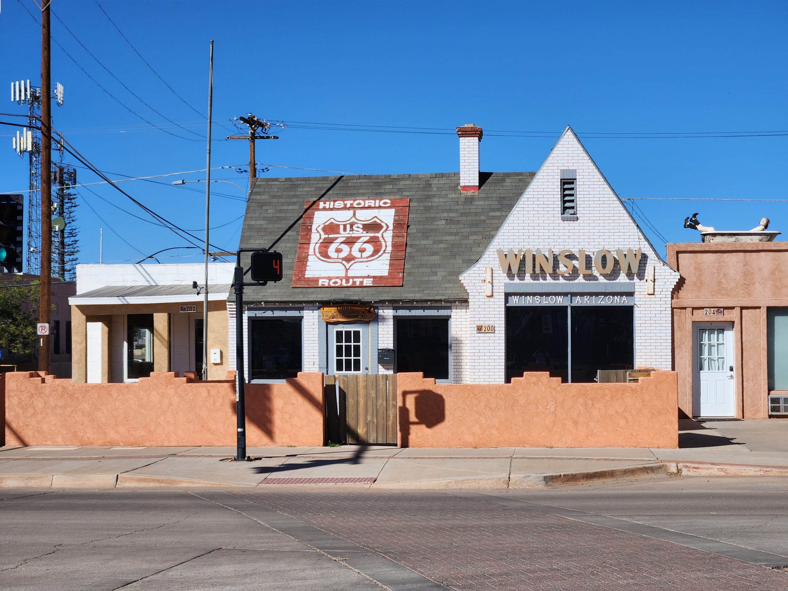
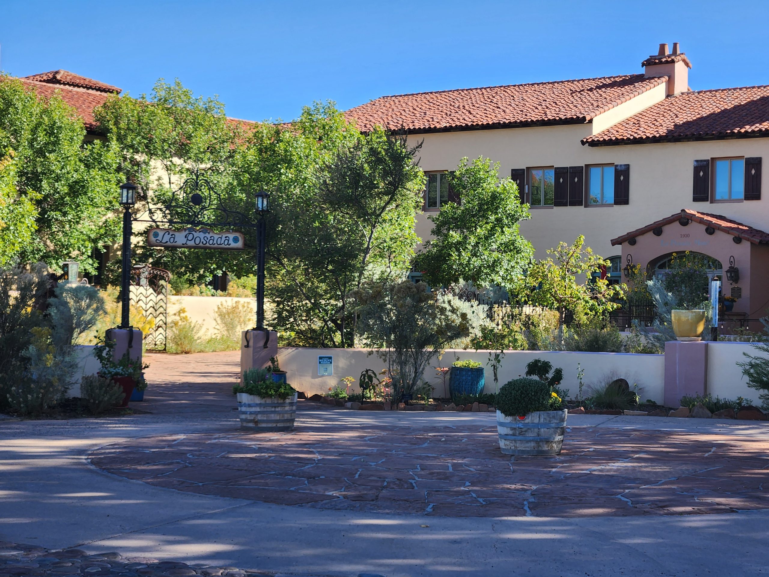
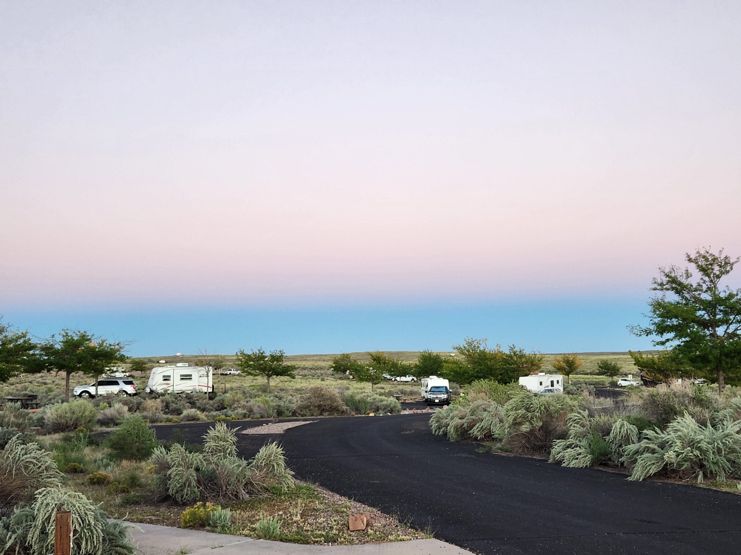
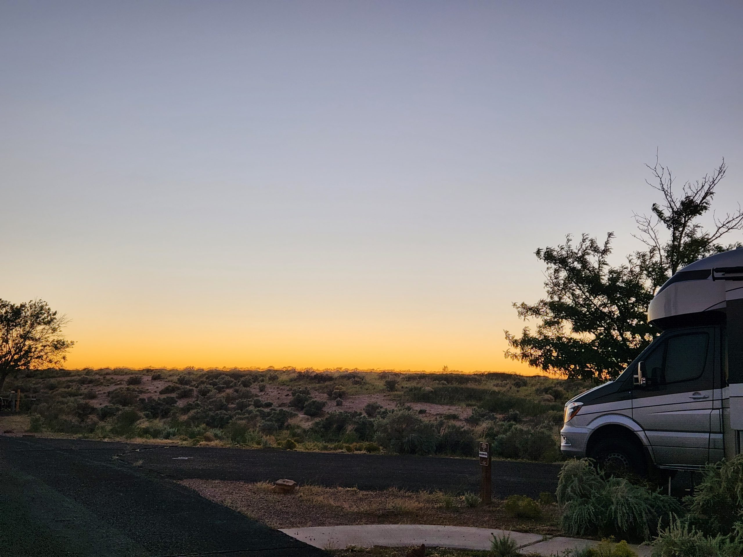
Driving a few more miles, we registered at Homolavi SP and decided to tour the ruins tomorrow. Some difficulty backing into an angled camp site, requiring one fly around to get the right angle. We are tired from the long day, and are glad to report that the Goose had no problems today. We are very glad to be married to each other and to still like each other after nearly four months in our 200 square feet!
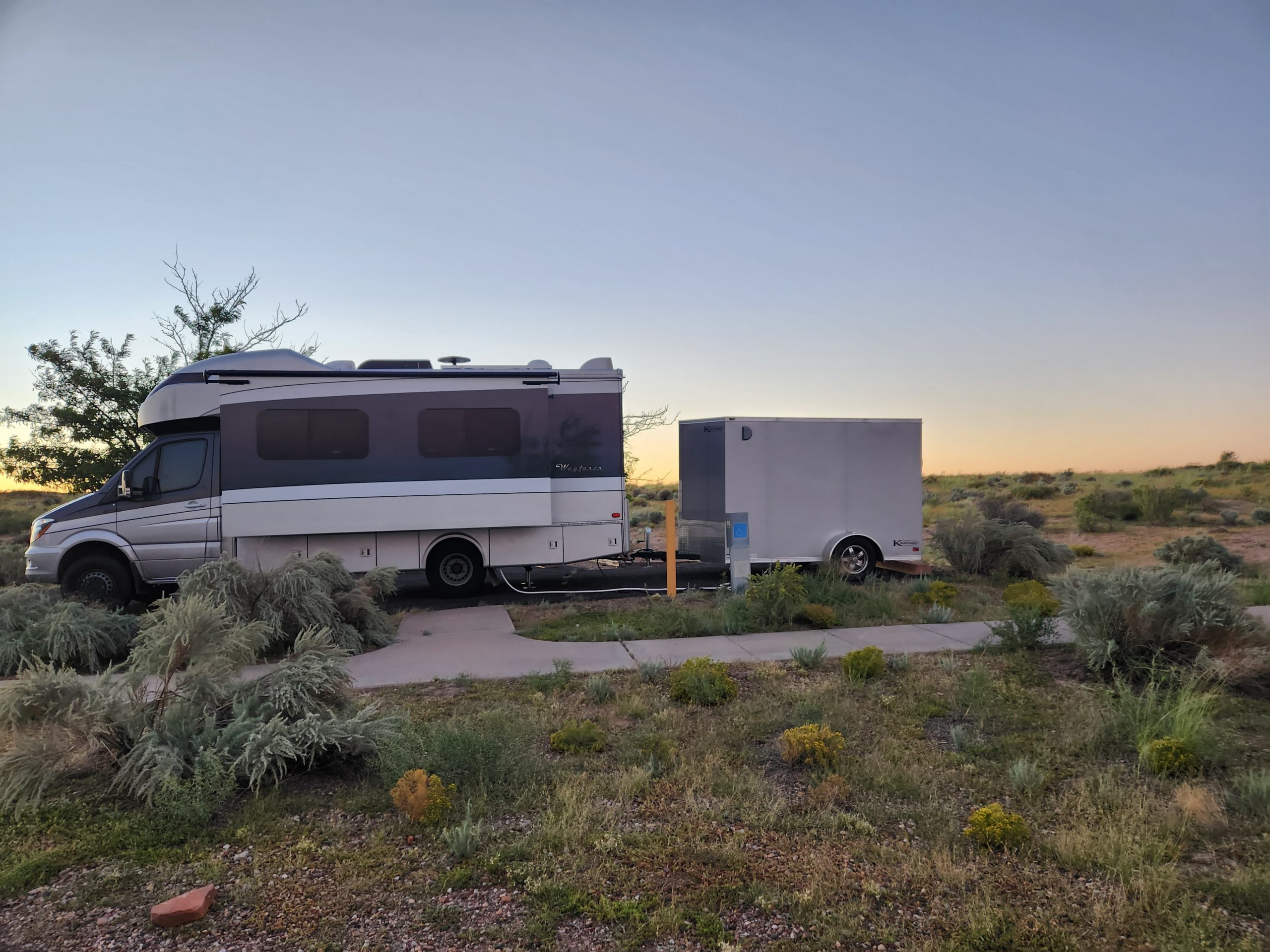
Grand Canyon North Rim
Pictures after I’ve had a chance to process them.
Having sorted the Goose engine, we stayed the night in the hotel. Today (Friday, 9/16), we drove the rental car about 150 miles to the North Rim. Our America The Beautiful Senior Pass got us in free, bypassing the $30 charge. This pass has more than paid for its $80 cost already this year, and it’s good for a lifetime. We drove to the Grand Canyon lodge, where Steve Steele and I had dinner 43 years ago. Dining room was not yet open, so we got sandwiches at the deli. We sat on the sun porch looking over Angel Bright canyon, then walked out to Angel Bright point to take pictures. Deb made it all the way this time, despite the path having sheer drops on both sides in many places. Our hiking boots were very grippy, thank the Lord. We bought gew-gaws and tee shirts, doing our bit to support the local economy. We then drove back to the hotel, preparing to leave the next day.
Las Vegas to Glendale and back to St George: engine trouble.
We left Las Vegas after morning restock, headed up I-15. We got to St George UT via a terribly twisty and windy traverse of the Virgin River Gorge. Don’t know how we could have gone a different route, but we’ll be looking next time. Twelve miles of stomach clenching and mild terror. Avoid this passage.
We stopped for visitor info in St. George. Following the recommended route (St George to Hurricane to Fredonia AZ then north to Glendale UT) took us over a large part of the Arizona Strip. About three miles south of Orderville UT (about 10 miles from the end of this leg), the Goose lost all power. Restarting the engine a few times allowed us to make it to the campground, albeit accompanied by the dreaded Check Engine Light (CEL). We got advice on where we could get the code scanned and decided to do that the next day. We thought the trouble might be a hot transmission, since we had climbed from 4600 ft to 6100 ft in about 38 miles, up and down.
Next day (Wednesday, 9/14), we dropped the Gosling and motorcycle and got the Goose down to Orderville and the code scanned. The tech didn’t record the code number, and cleared it before we could see it. They said it was emissions related and shouldn’t be a problem. So, we found coffee and croissants. We tried to return to the campground, but power loss and CEL recurred. A phone conversation with the Mercedes dealer in St. George ensued, with them recommending we try to limp back to St. George in lieu of waiting many hours/ maybe a couple of days for a heavy wrecker to come get us.
We took the advice, traveling about 100 miles in well over three hours. We were on highways, climbing hills at 10 mph in first gear, the only way to get up the hill. After the first hill rose 1500 ft, and we made it, I thought we’d eventually get back to St. George.
We count ourselves fortunate to have gotten back to the MB dealership, and to have the Goose taken in for analysis the same day. Once again, a tech named Josh worked on our rig (third time this year), assessing a sticking fuel injector. Since the engine was hot, they couldn’t work on it until the next day.
We occupied ourselves with finding a rental truck to retrieve the Gosling from Glendale, a rental car in case we had to stay in St. George for a few days, and a hotel room to lay our head. With a few minor issues, we did all those. We then had great food at the local Ribs/ Chop House, with a feeling of stress relief.
The next day (Thursday, 9/15), we drove back to the campground, loaded the motorcycle into the Gosling, hooked up the Gosling, and drove back to St. George. We picked up a rental car, having decided to skip Bryce and Zion this trip. We dropped the Gosling at the hotel. By then the Goose was ready for pickup, with the new injector installation having been covered by the MB extended power train warranty. We drove the Goose to the hotel, hooked up the Gosling despite having been blocked by parked cars and parked the Goose/ Gosling combo beside the hotel and found some lamb curry.
Finally, we decided to go the the Grand Canyon the next day, then start driving toward Winslow AZ for the rest of the trip.
NAS to AFB
Pictures after I get a chance to process them.
Today we traveled from NAS Fallon to Nellis Air Force Base just north of Las Vegas. Travel distance was 377 miles, taking seven hours including stops. When we initially saw lots of smoke, we thought it was blowing over the mountains from California. After looking online, we found there were lots of wildfires near Carson City NV, and that was the source of the smoke. It cleared after a few hours traveling east. We drove through the valleys of the Great Basin, which covers most of Nevada and some of surrounding states. Look it up! We passed Walker Lake, made alkaline by fertilizer run off, just like the Salton Sea some distance south. We saw many HUGE dry lake beds with the characteristic white color of alkali. We drove past many mountain ranges, set in desert populated by creosote bushes and sage brush. Other than crows, the only wildlife we saw was one coyote that ran across the road. We have no idea how people crossed the deserts without barrels of water. We saw one desert rain storm that was awesome. Deb said the scenery was both stark but beautiful.
There are a couple of long stretches (on the order of 100 miles) without fuel stops. I tried to stretch our fuel from Hawthorne (home to a huge Army munitions depot) to Tonopah, successfully, but did make the “get fuel now” warning go on. Part of the problem was wind, which was either cross, ahead or following (sailor talk) depending on the angle of the road. Also, our elevation changed from 4000 ft to 6000 ft to 4000 ft and so on. We had two instances where we sat still 20 minutes for road work.
Tonopah was good to see, since I’ve always like the name since hearing the Little Feat song “Willin‘” (particularly the Linda Ronstadt version). It’s on a rise above the surrounding desert. We drove through light rain (no flooding) and had lunch/ refueled. The Mispah Hotel is a main attraction, as are the mining exhibits covering the very large strike of silver-bearing ore.
Las Vegas has a similar characteristic to most large cities: road construction. We were able to get verbal directions from the staff at Desert Eagle RV Park (inside Nellis AFB), and only made one wrong turn in the final miles. The RV Park is very beautiful, with 226 shaded sites, and the ability to stay up to six months. Right now, as Deb cooks our dinner (I drove all day!), we are being serenaded by the sound of Freedom: Air Force fighter jets flying overhead.
A smokey ride
Text only until I get a chance to process photos.
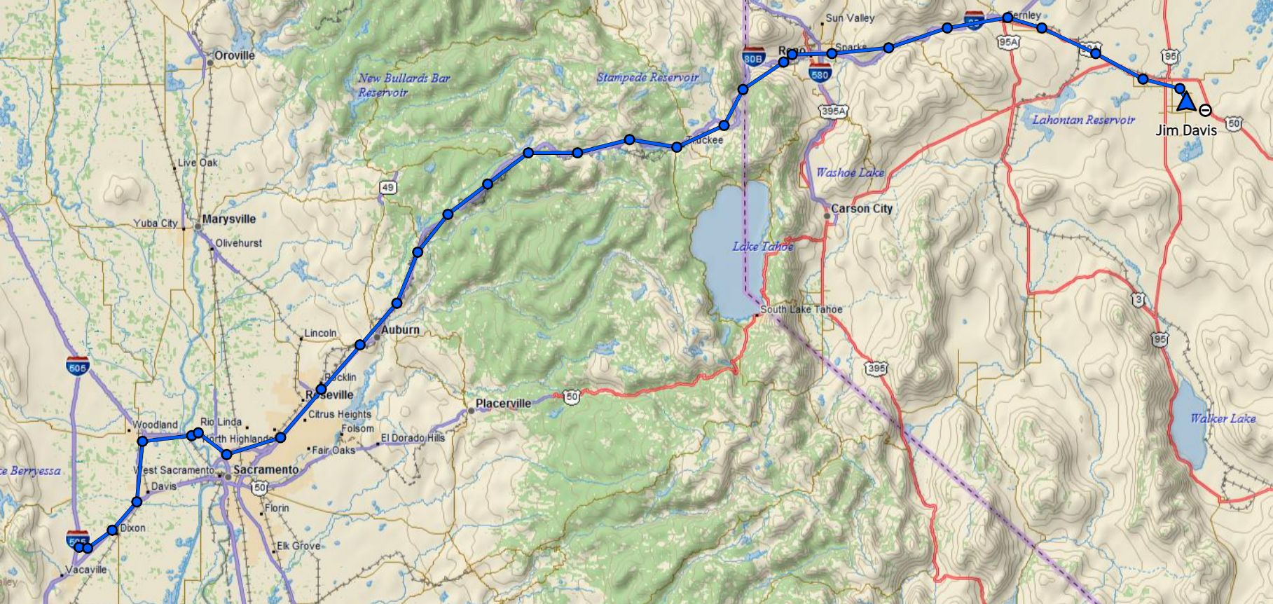
We woke about 7am, broke camp and returned the rental car to the Sacramento airport. We got onto I-80 eastbound. The Mosquito fire had expanded overnight and moved a bit northeast due to SFO Bay onshore winds. The ride uphill (to 7227 ft at Donner Pass) was very smokey. We ended up wearing N95 masks inside the Goose’s cabin, even with the AC on recirc. Steep downhill from Truckee down to Reno. We stopped for fuel in Reno, had lunch at El Pollo Loco. I used to eat at EPL all the time when in San Diego in the 90s, and the menu has changed only a very little. We headed farther east on I-80, then shifted to the roads leading to Naval Air Station (NAS) Fallon in Fallon NV.
NAS Fallon is the aviation base where the Navy’s Top Gun school is now. When Tom Cruise was filming Top Gun, the school was at NAS Miramar CA, which has since been put under care of the Marine Corp (MCAS Miramar now). NAS Fallon is in the Nevada desert on very flat land that stretches for miles in every direction. Big sky country. On a Sunday, it was very quiet. After getting into our RV site, we did laundry and made dinner. Big traveling day tomorrow.
Napa and Sonoma
Photos later after I have a chance to process them.
Wine tasting in Napa and Sonoma must have gotten much more crowded since we last did so in the 1990s. COVID probably had an effect, too. Going to any winery now involves making a tasting reservation. We wanted to go to the Robert Sinskey winery, but they were fully booked for Saturday, 9/10. I had planned to go to the tasting bar and say the following:
“I’ve always wondered if pinot noir was really wine. Everybody tells me it is, but I haven’t tasted the evidence. One of our friends is a wine club member (at Sinskey), and he filled us full of pinot noir one night. I decided to validate that experience by a wine cellar visit. Whatcha got?”
Alas, no Sinskey. However, we found the Laird Family Estate (Deb’s mom’s side of the family are Lairds). They had availability, so we went. Their better chardonnay was very good, so we bought four bottles and two of their Syrah. A cheese plate was a great accompaniment.
We left the winery and crossed the mountains over very twisty roads into the Sonoma valley. Sonoma seems much more laid back and less touristy, at least until you get into the city. With wine in the car and another hot day, we didn’t stop, but drove back to camp.
Visiting friends
On Friday, we drove to Roseville to visit Jim’s high school friend, Tracy, and her hubby, Steve. There are lots of Steve’s in our lives! We had a lovely chat in their beautiful back yard, under the shade of a couple of redwoods and a sequoia. Tracy and Steve hope none of these very tall trees fall on their house. Steve then drove us up US50 to Lake Tahoe. The road was Oregon-like: scant shoulders and very few guard rails. Jim was glad Steve drove! Smoke from the Mosquito fire obscured the views, preventing vertigo for Jim! We had lunch at the Bridgetender Tavern in Tahoe City, then visited the Donner Memorial (see https://en.wikipedia.org/wiki/Donner_Party ). Snow sometimes accumulates to 25 feet in winter, which is what happened to the party Then we drove back I-80, twisty and downhill, to Roseville. We left Steve and Tracy, having had a wonderful time!
Muir Woods
Pictures after I’ve had a chance to process them.
We’ve both always wanted to see redwoods. The Muir Woods, just north of the Golden Gate bridge, were the most accessible to us from Vacaville. Sometime, we’d like to visit the Jedediah Smith redwood forest where part of Return of the Jedi was filmed. We made a parking reservation, then used our America the Beautiful Senior Pass to pay the entry fee. We walked the Redwood Creek trail, then the Hillside trail back to the entrance. Had to buy our gew-gaws at the camp store, including a sticker for the RV and a pin for Jim’s hiking stick. Even found a spoon for our collection!
Be warned! The entry road to the Muir Woods improves the gene pool if you’re not careful. It is perhaps the most twisty road we’ve ever been on, with sheer drops off the unguarded, shoulder-less edges. On our way out, we avoided that road, heading toward Muir Beach. CA-1 is still twisty, but not as bad. Most of our travel in and out of the Muir Woods was done at 10-15 mph.
Scallops for dinner after we did some fishing at Safeway.