Onward to Southaven
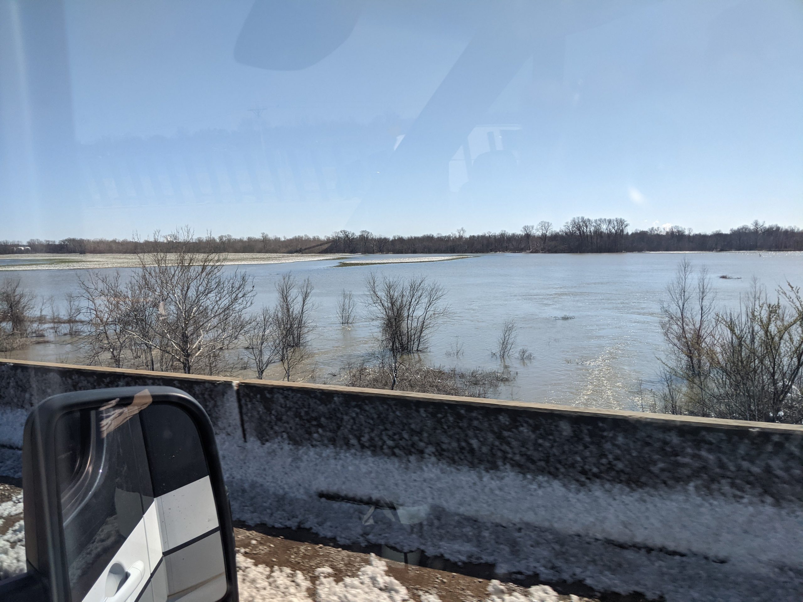
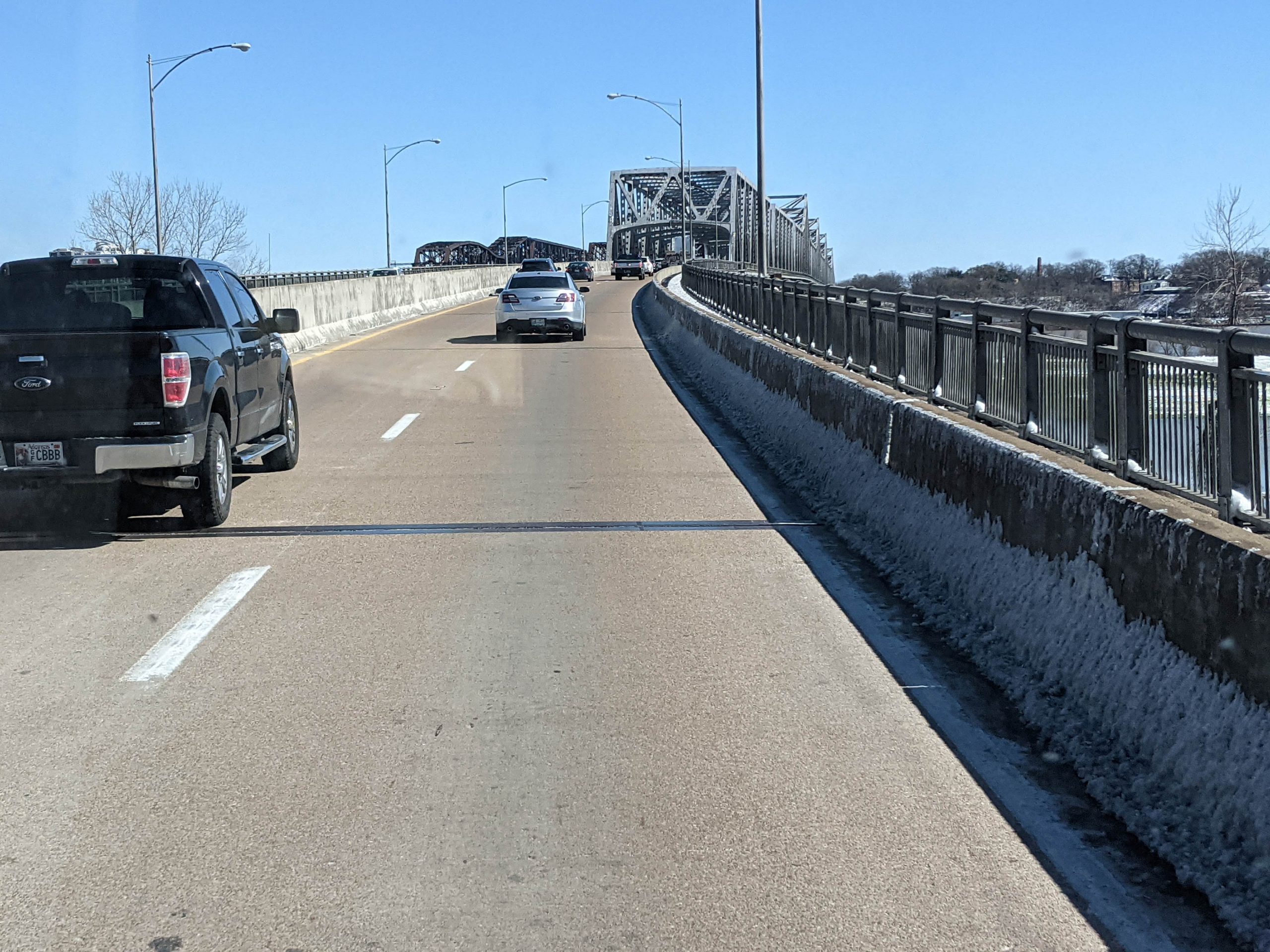
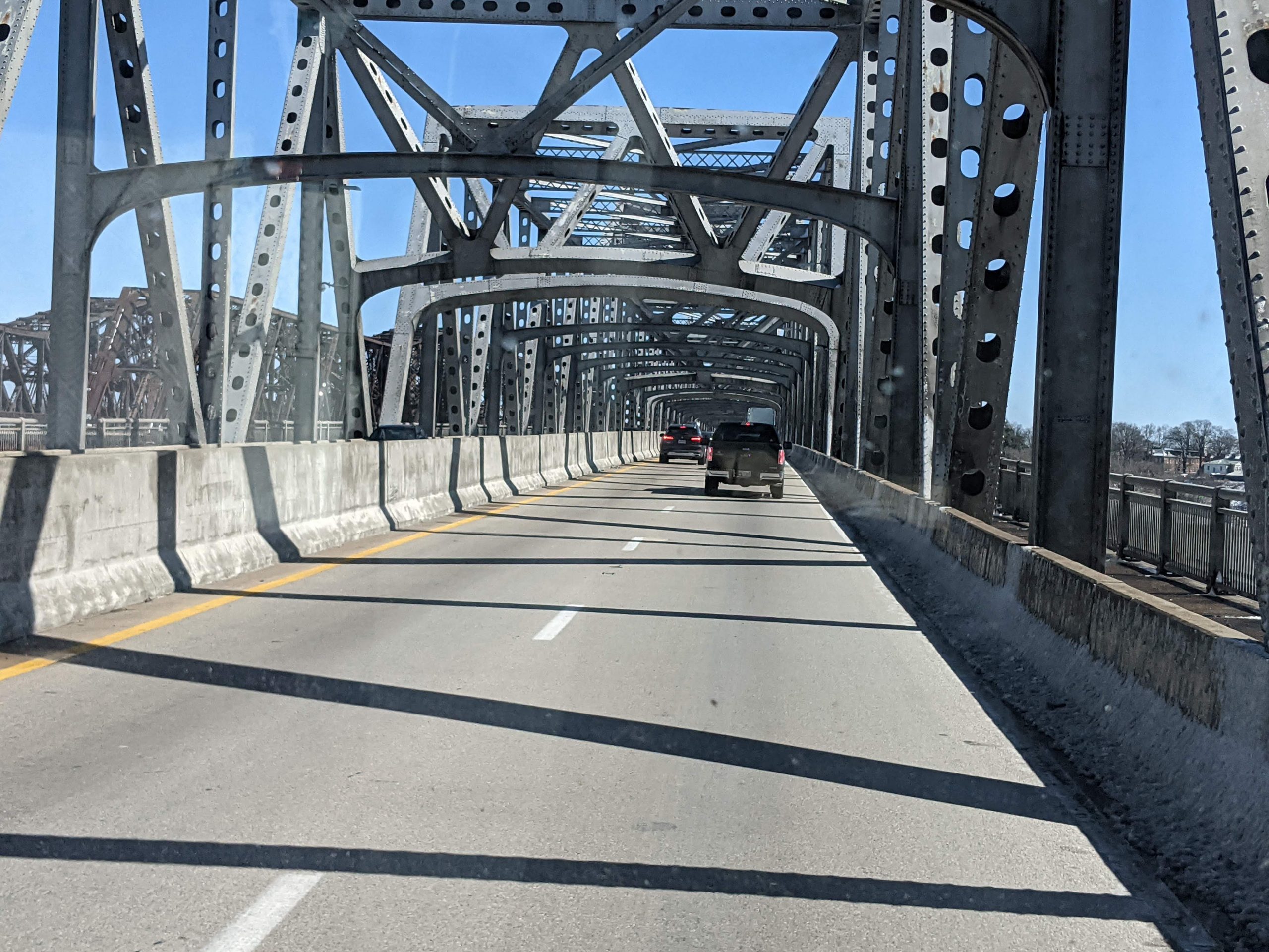
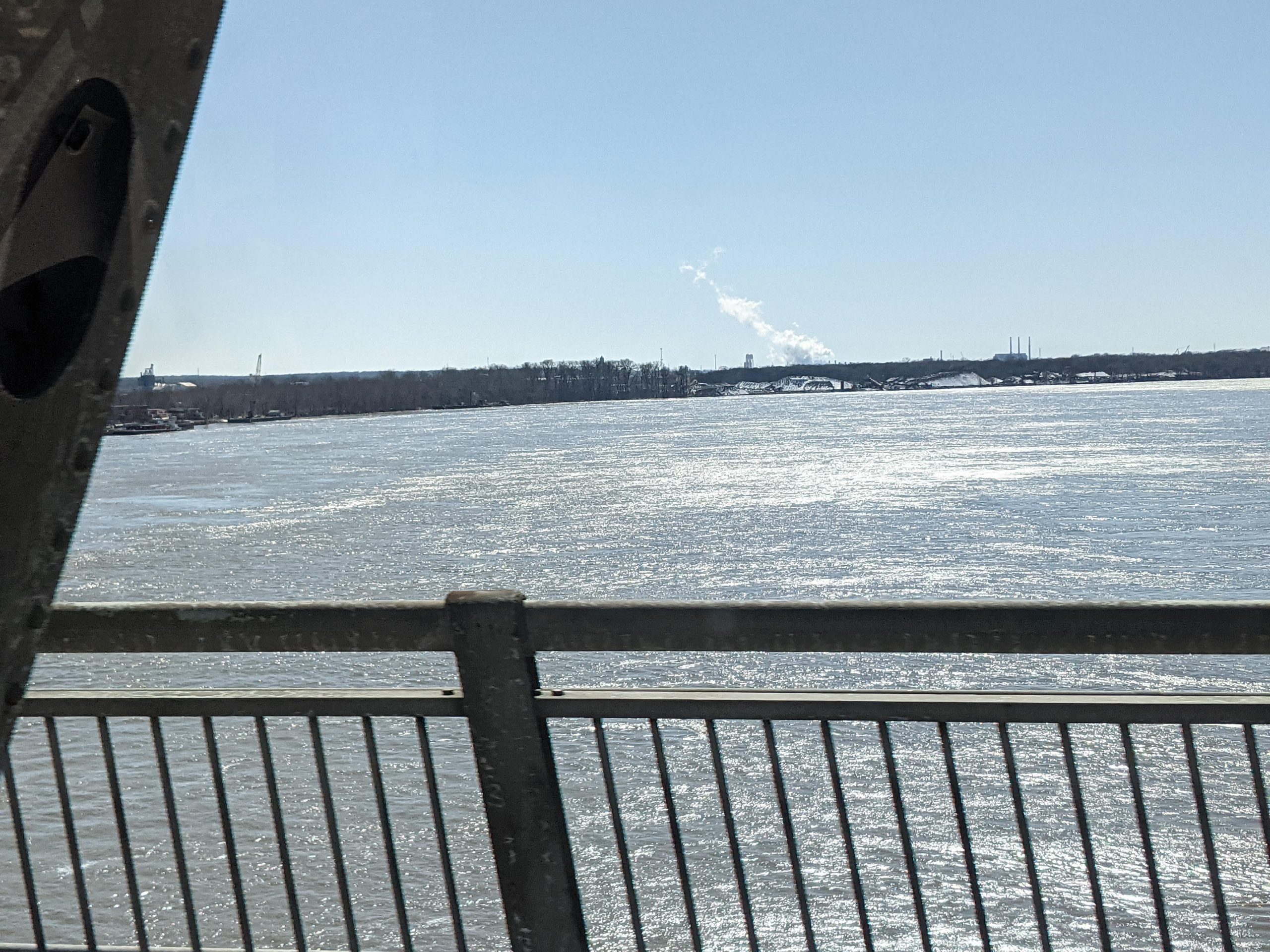
Woke to very cold temp, so we waited until 9am to get up. Outside was bright sunshine and 32 degrees. Got away at 10am. We took I-30 toward Memphis. This part of Arkansas is very wet and flat. Rice, soybeans and wheat. Some lousy roads around Little Rock. Crossed both the Arkansas and Mississippi rivers over bridges that are in bad shape; concerns about US infrastructure are not misplaced. Arrived at EZ Daze RV park in Southaven MS. Filled LP tank. Watched TV, noting that politics in AR is very conservative. One Republican candidate is in favor of “babies, borders and bullets,” hitting the key issues for conservatives.
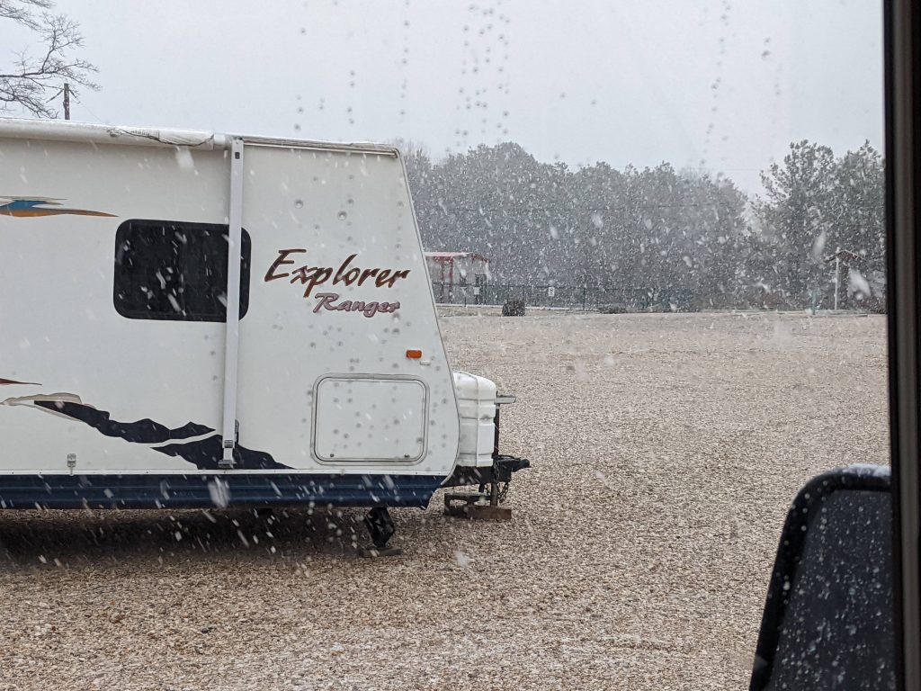
Driving to Arkadelphia into the snow
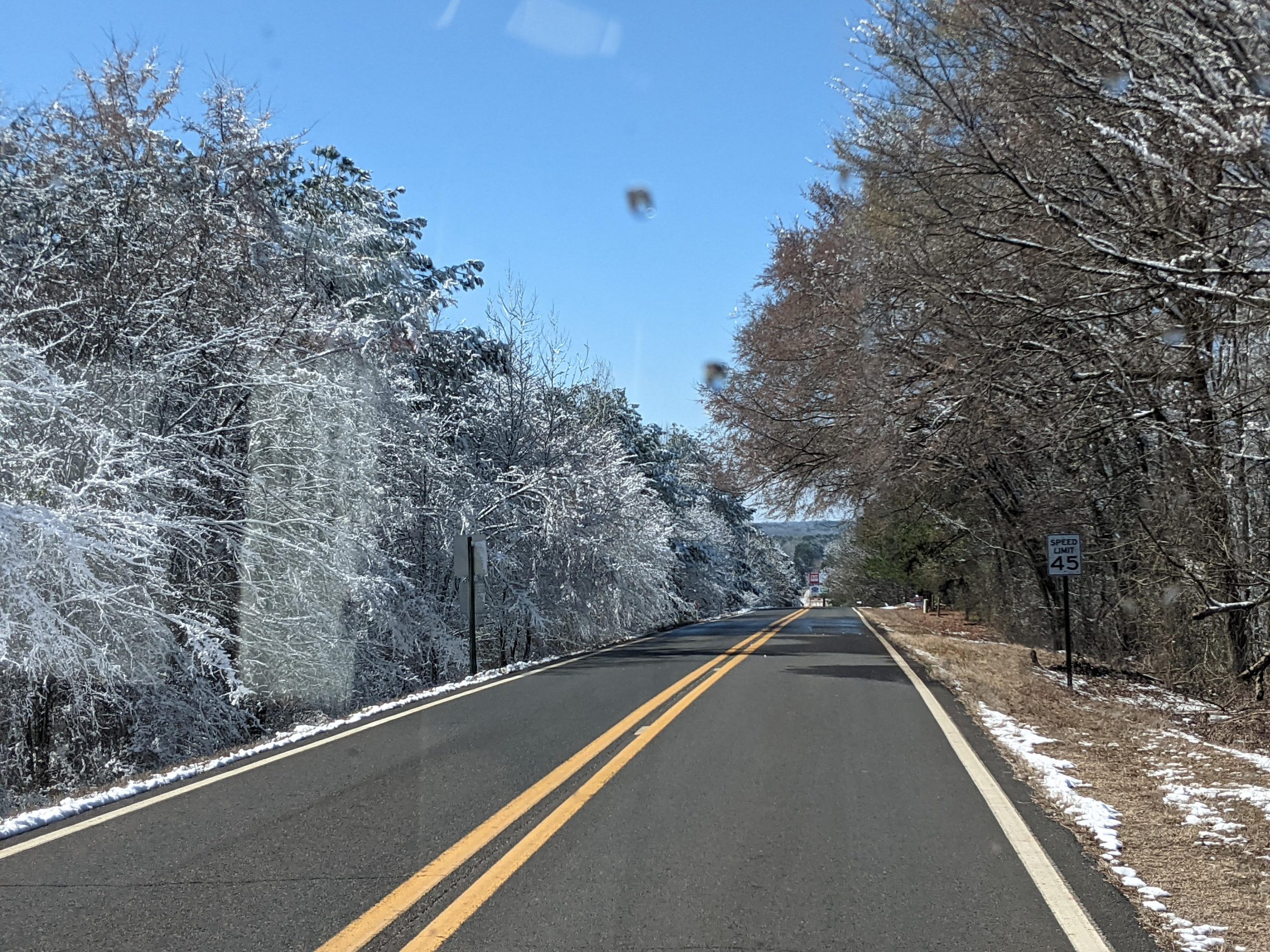
Drove to Arkadelphia AR. Lunch at the Rt67 Grill in the historic center of town. Good slaw and burgers. Refuel at Valero. Found a deserted Caddo Valley RV, which is a big/ flat gravel lot with very modern utilities pods. We waited until 3pm when the camp manager bestirred herself from her RV. The snow started right then, with freezing temperatures predicted. We started the night slow-dripping water in the bathroom faucet and the gray water valve open, using our heated water hose. After the snow slowed, Jim rethought precautions. Stopped the drip, drained our water hose, used propane heat with Truma on full. Closed gray tank, all tank heaters on. We successfully passed the night without apparent freezing.
Driving to Sulphur Springs
Drove to Sulphur Springs TX. Jim woke at 0730 and made coffee, feeling some better. Shady Lake RV park is proximate to Walmart and cheaper fuel. We cooked and slept, snugly.
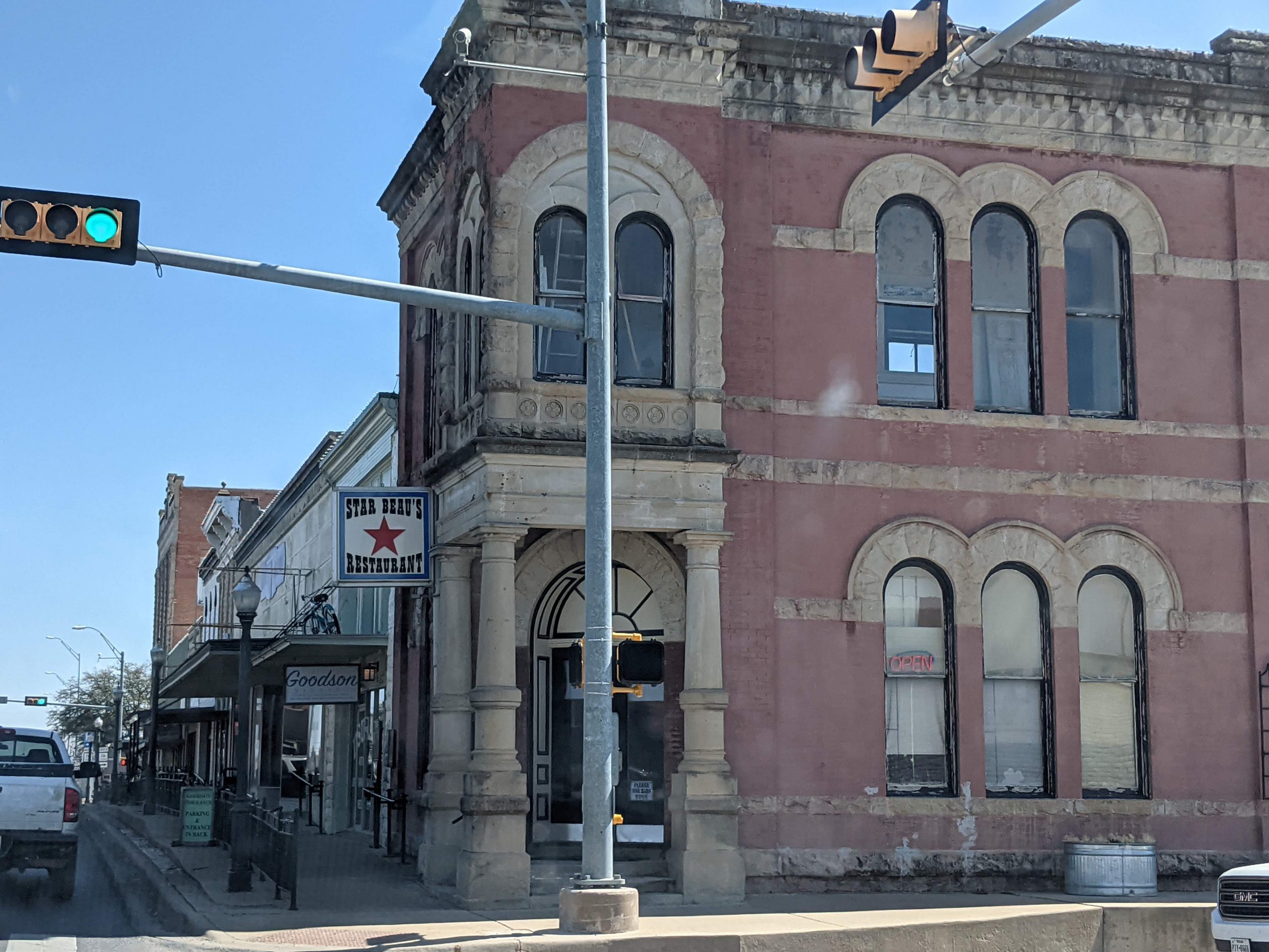
Driving to Weatherford
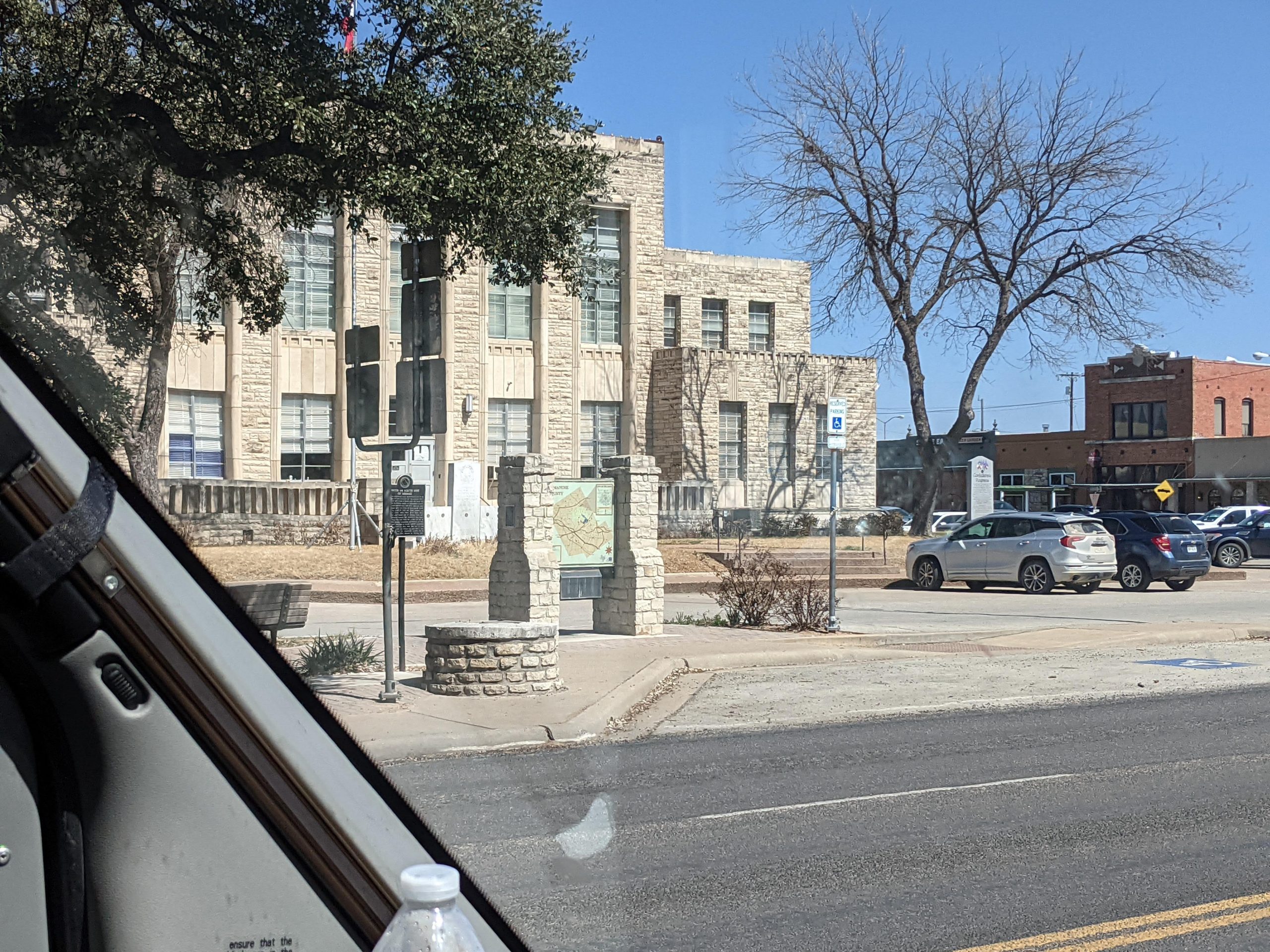
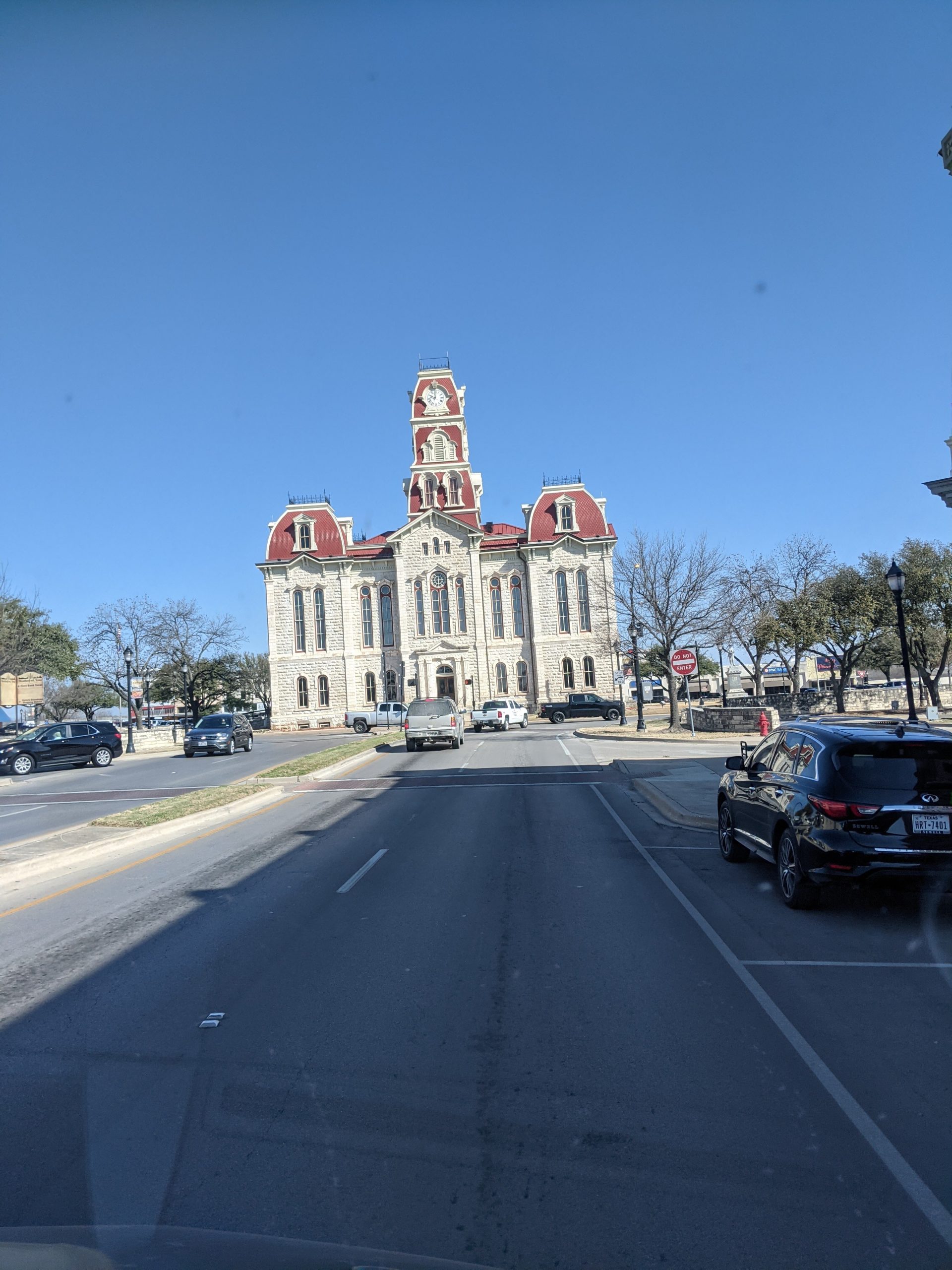
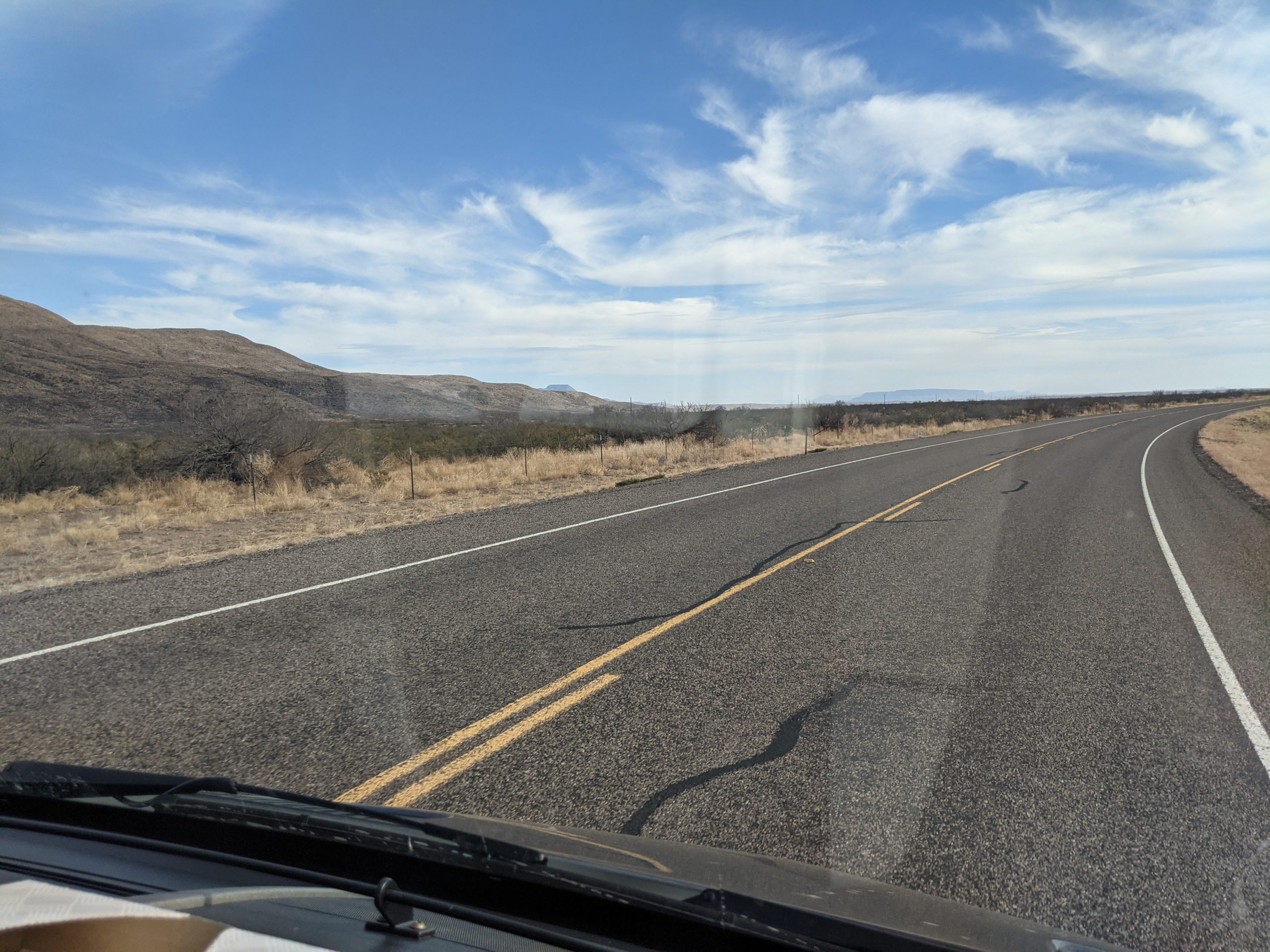
Drove to Weatherford TX, west of Ft. Worth. Stayed off interstate, instead driving through Ballinger/ Comanche/ Stephenville on US 67 and 322. Cut back up TX171 at Cresson to Weatherford. Pleasant drive, but rough road. Stayed at Weatherford / Fort Worth West KOA, which is barely okay. Underground septic piping patched, but still leaking. LP tank (for filling customer tanks) inoperative. Nice flat, graveled sites. Has the look of a long-term residency park, and those campers have let their situations get run down. Generally only good for a quick stop, not as a place to explore the surrounding area.
Heading to San Angelo TX
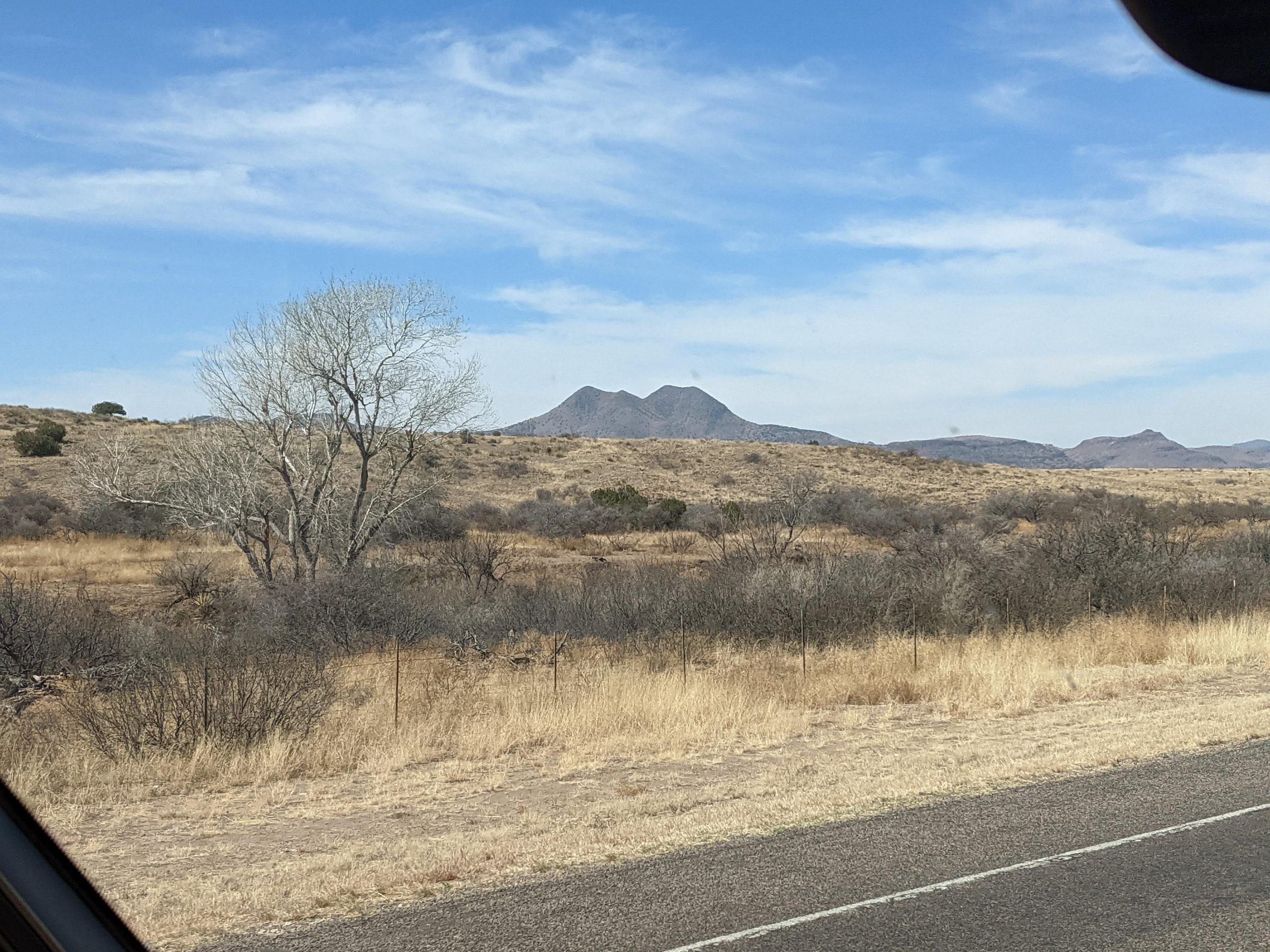
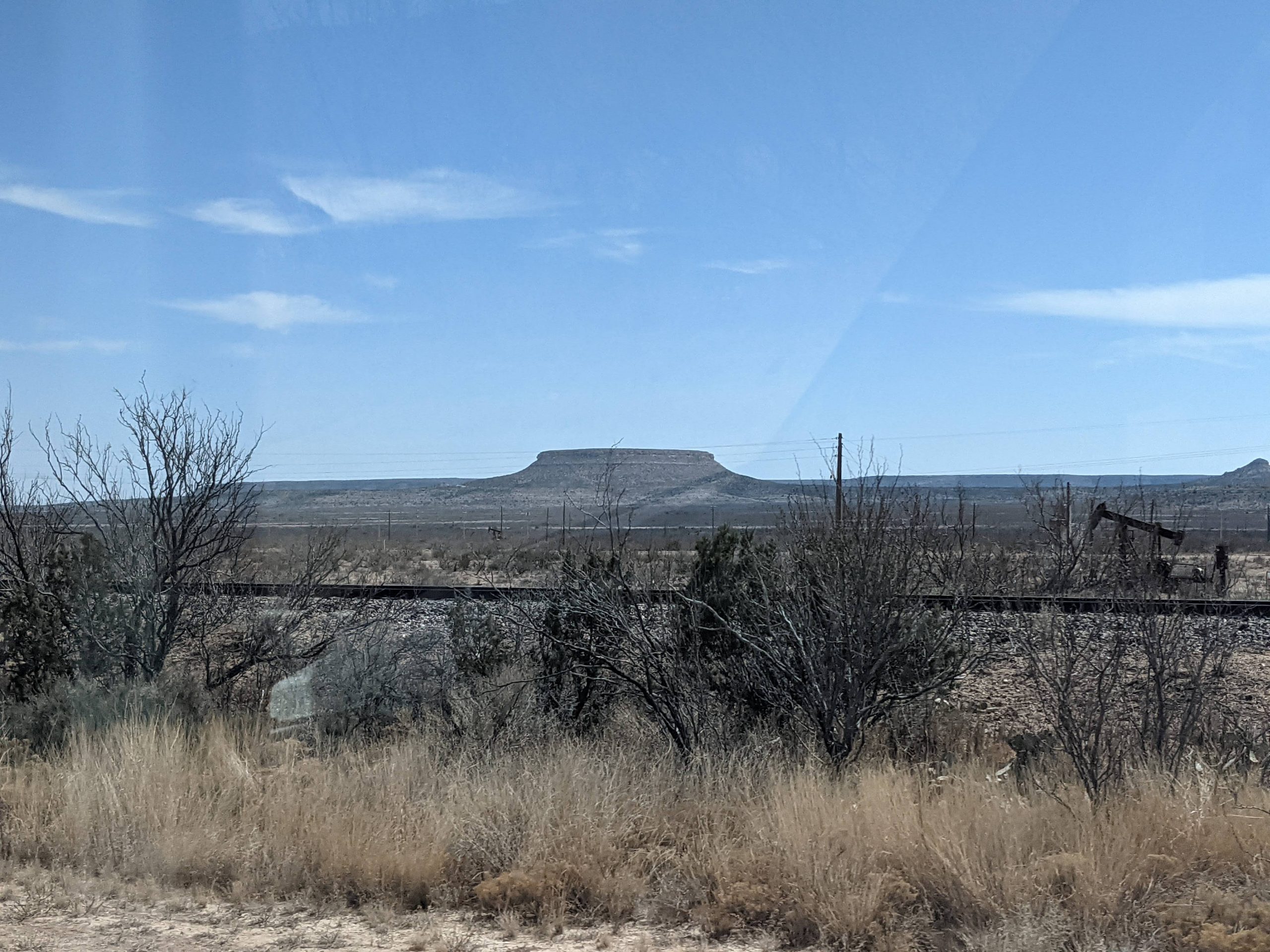
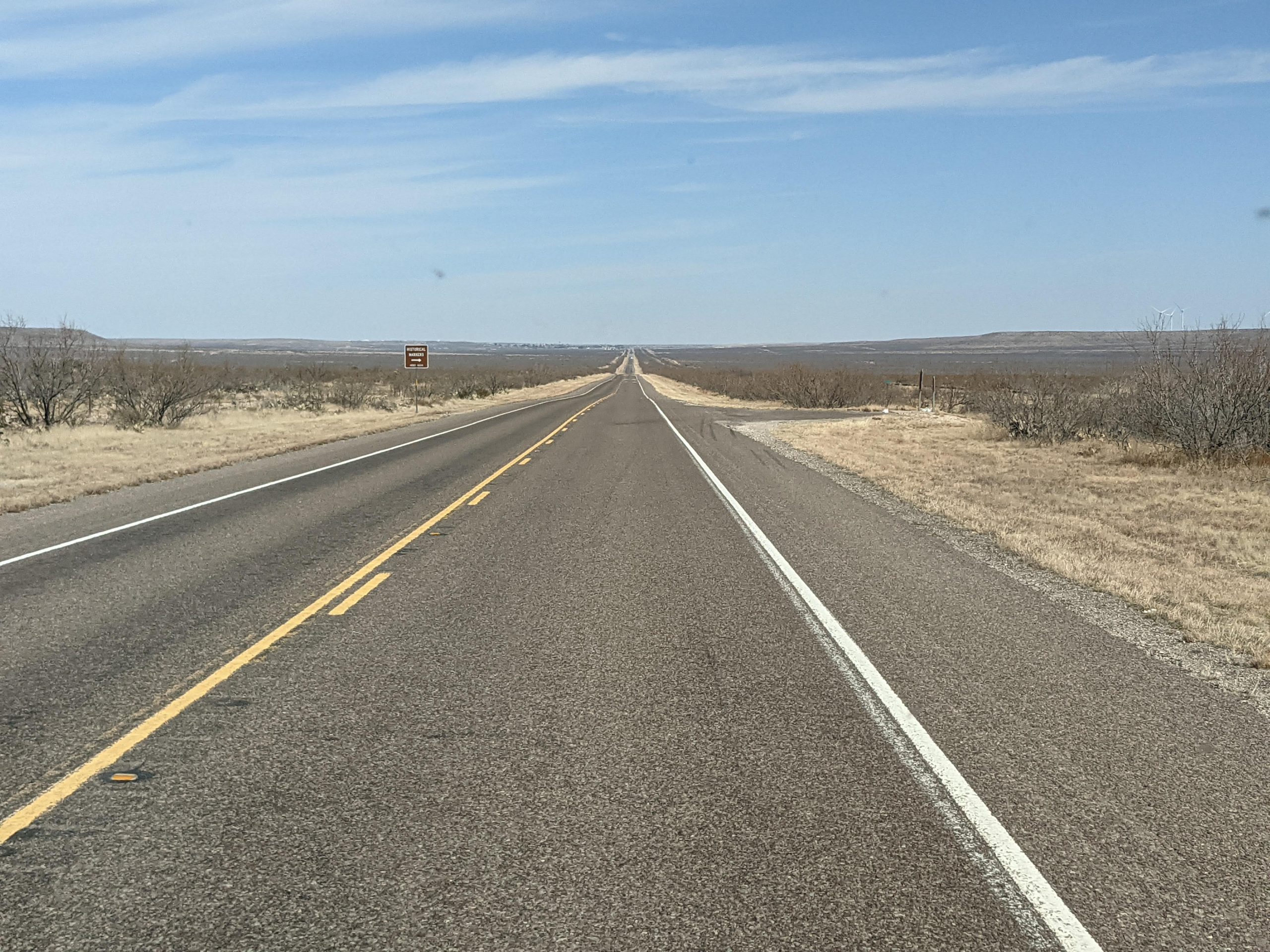
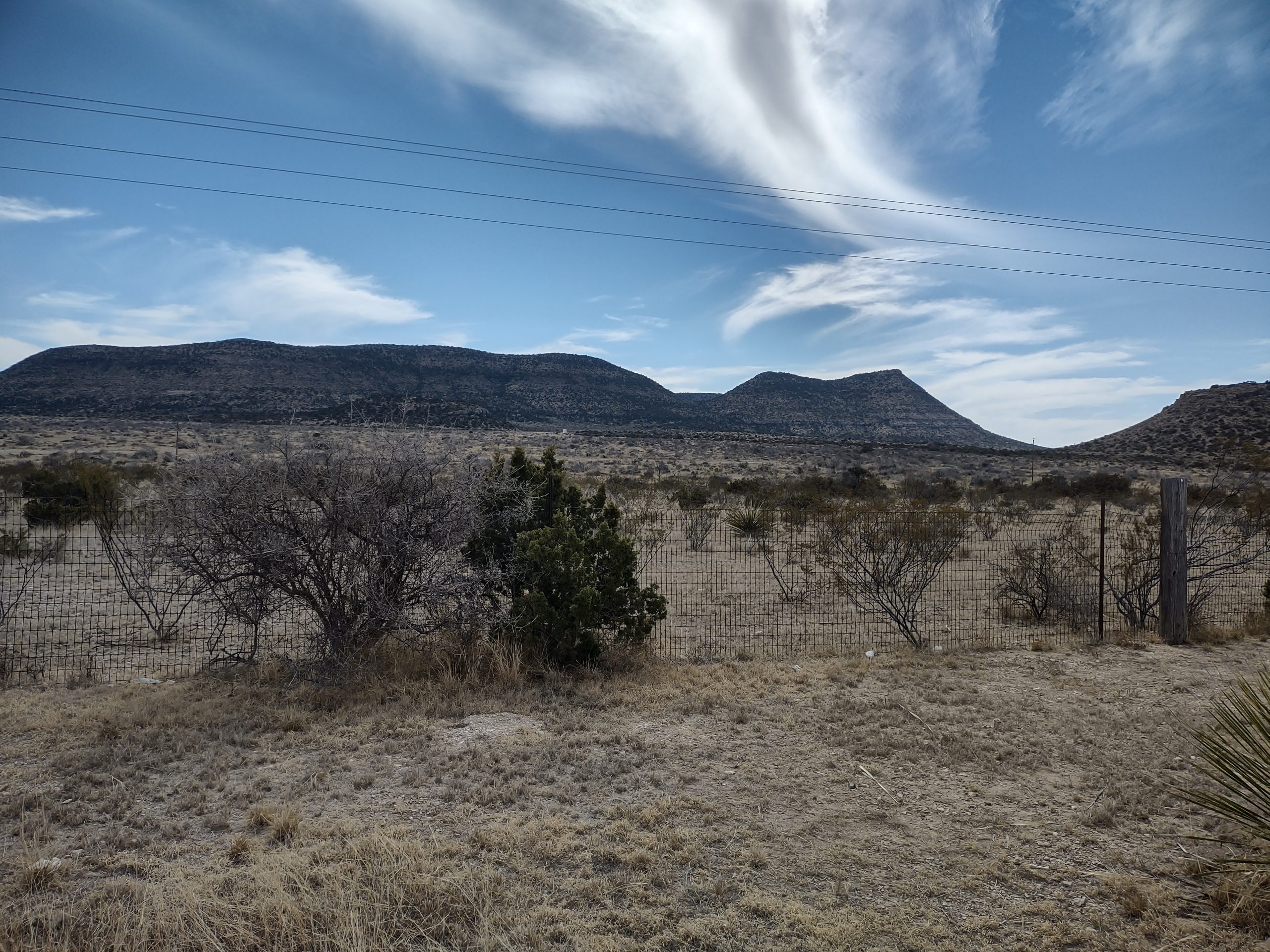
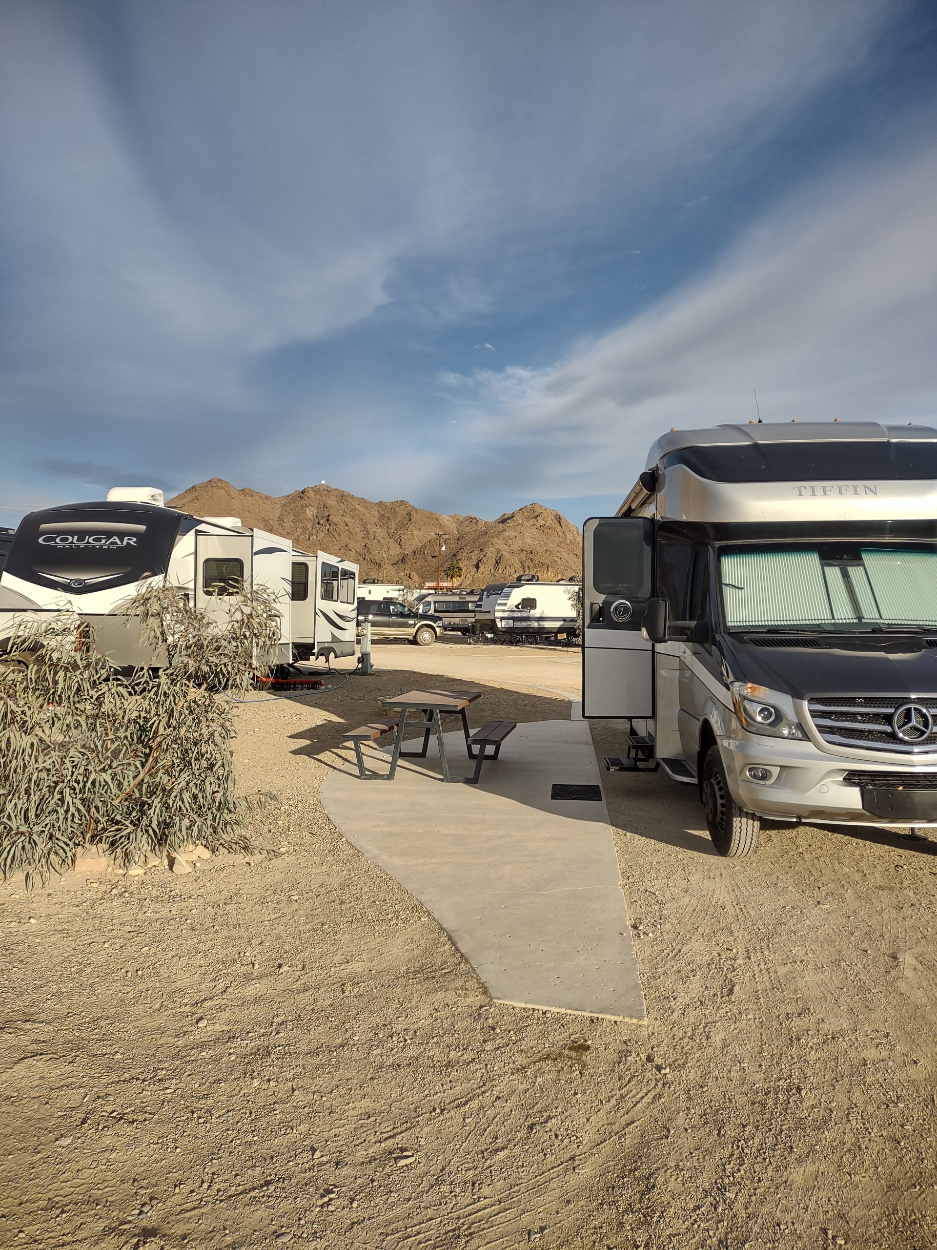
Drove away at 10am. Saw a vermillion flycatcher at a picnic stop just south of Alpine on TX-188. Fueled at Alpine. Took US-67 to San Angelo. Oil fields, solar farms and wind turbines as we crossed the Permian Basin. Fuel prices are way up, with diesel > $5/gallon (Ukraine invasion effect). Fueled for less at Murphy’s in San Angelo. We are staying at Goodfellow AFB Rec Camp, which is outside the AFB right on Lake Nasworthy. $15/ night and they have a laundry!
On our second day at Goodfellow AFB RecCamp, we woke at usual time. Clouds are an unusual sight since we’ve had desert blue sky for days. We did two loads of laundry and paged through Escapees magazines left by others. Otherwise, we spent the whole day inside. We ate leftovers for dinner and watched pawn store shows on TV. Crossing the grass, we picked up nasty burrs that stuck to the bottom of our shoes and came off on the rugs!
Santa Elena canyon
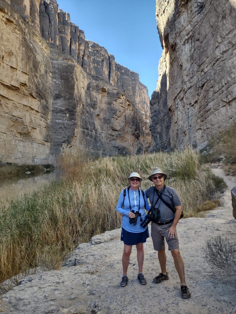
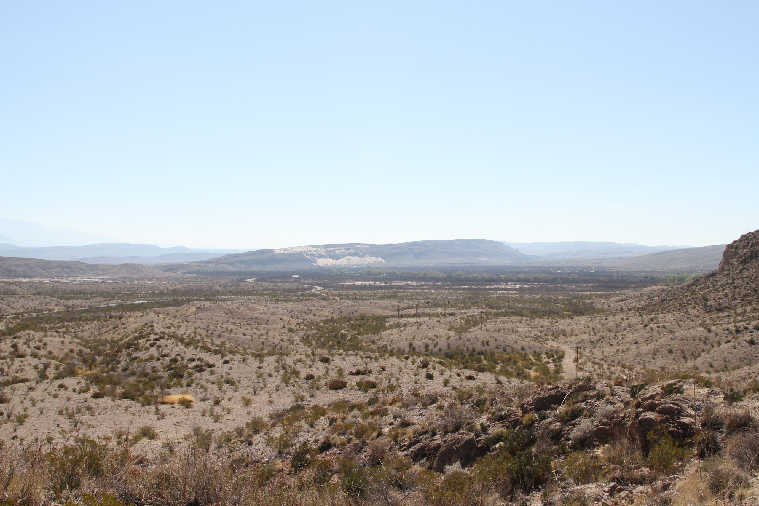
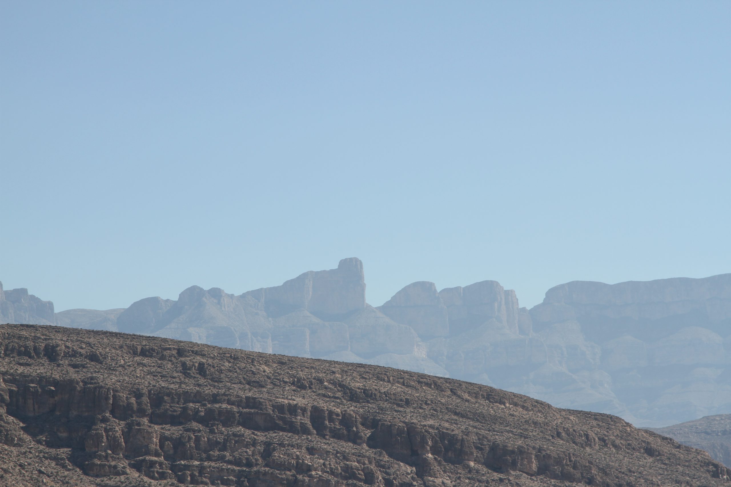
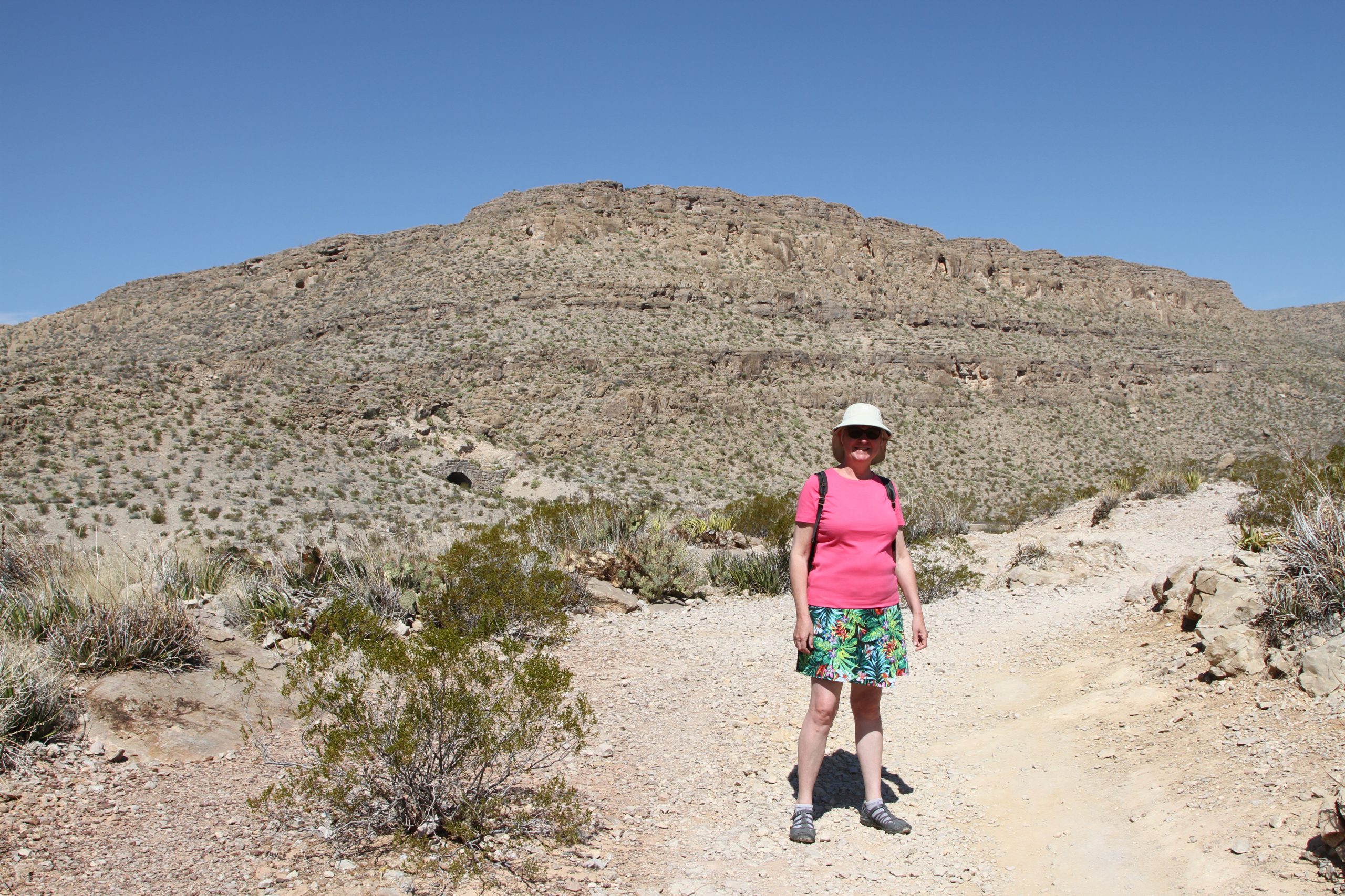
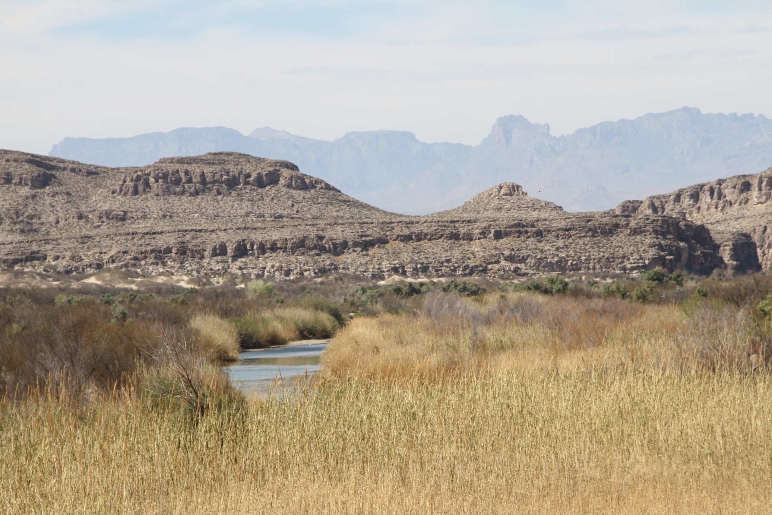
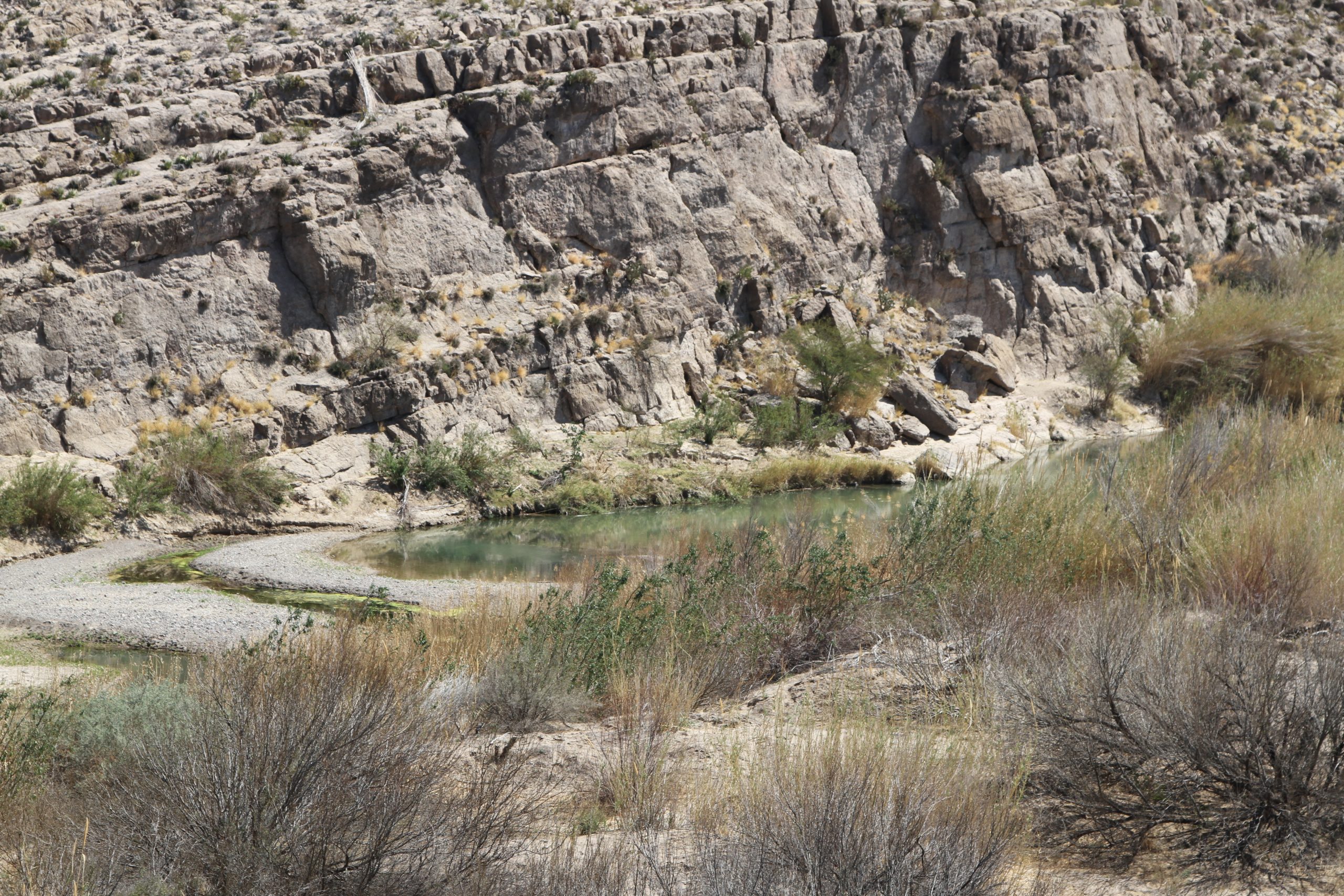
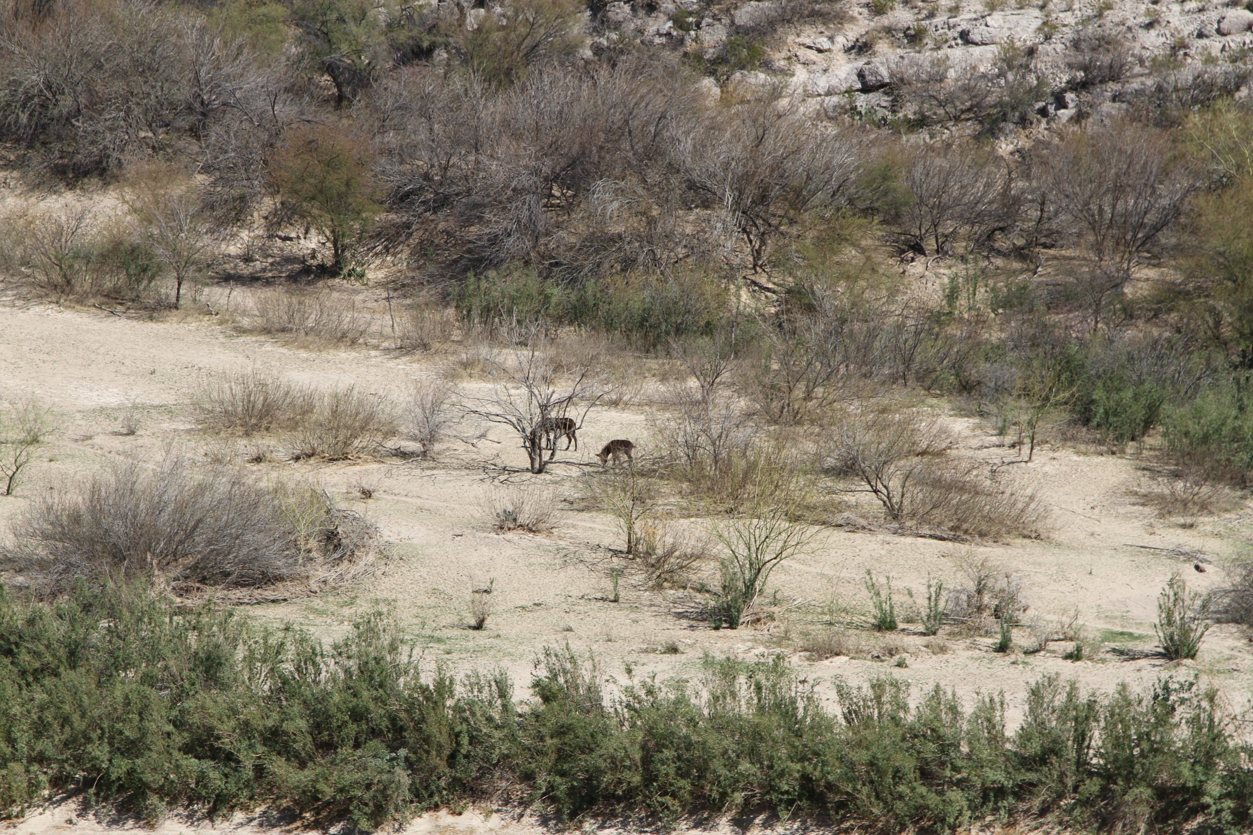
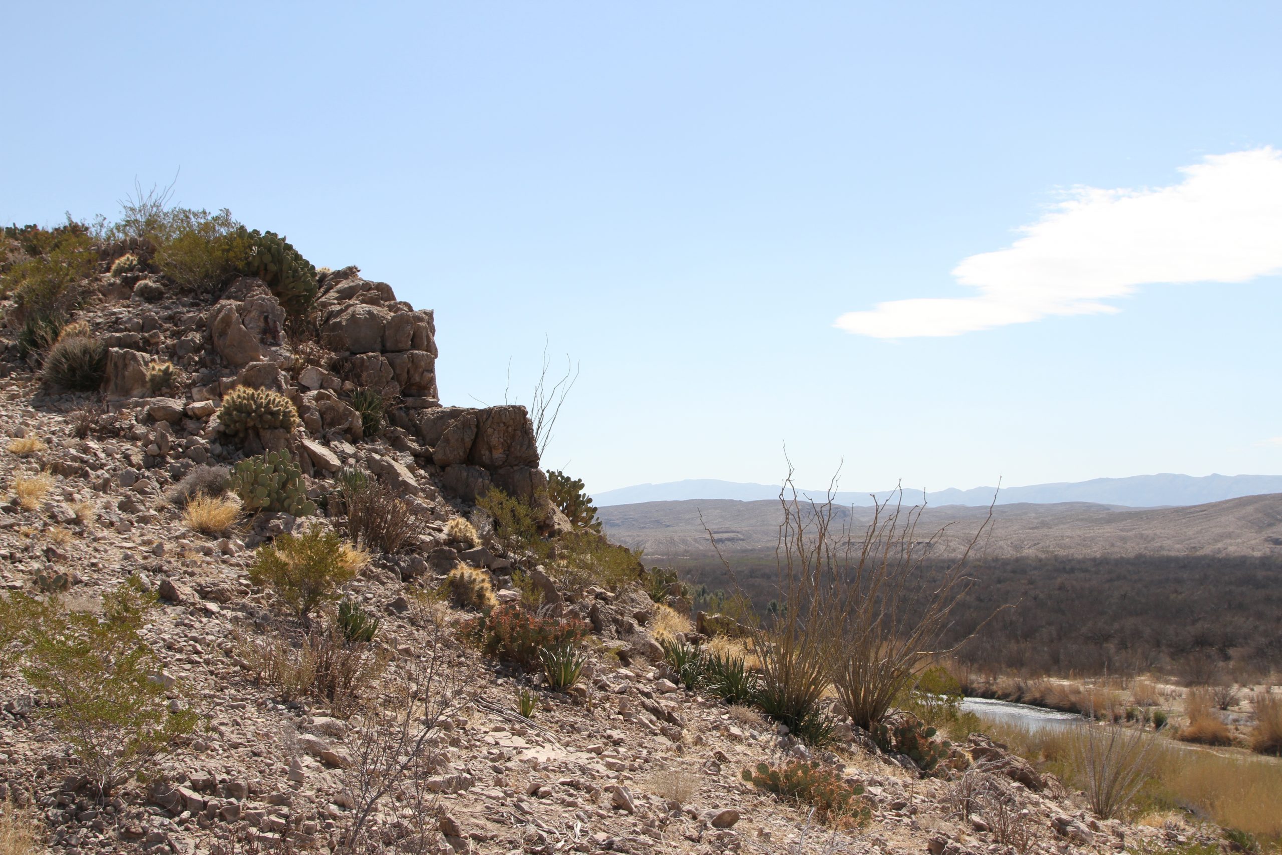
We are away from Paisano by 9am, heading to Santa Elena canyon, which was cut by the action of the Rio Grande River. Arrived at park gate at 0930 and at the canyon by 1040. Up 2000 ft, down 2000 ft over some stomach-clenching downhill grades. We hiked into the canyon about a mile, crossing the Rio Grande river at the entrance to get to the path. Up big hiking switchback, down the other side. Finally, into the shade and on the flat. Saw mama/ baby mountain goat on the way in, but they were gone on the way back. At lands end/ end of the trail, we saw canoers floating downstream. Where they were the river was so shallow their paddles touched bottom at two-foot depth. Hiked back across the switchback. Saw cave swallows on the far bank at the entrance. The wind picked up, stinging Jim’s eyes, so we got back in the RV and left. The trip back across the mountains was not as bad, as the RV was climbing instead of descending. Extremely windy at camp.
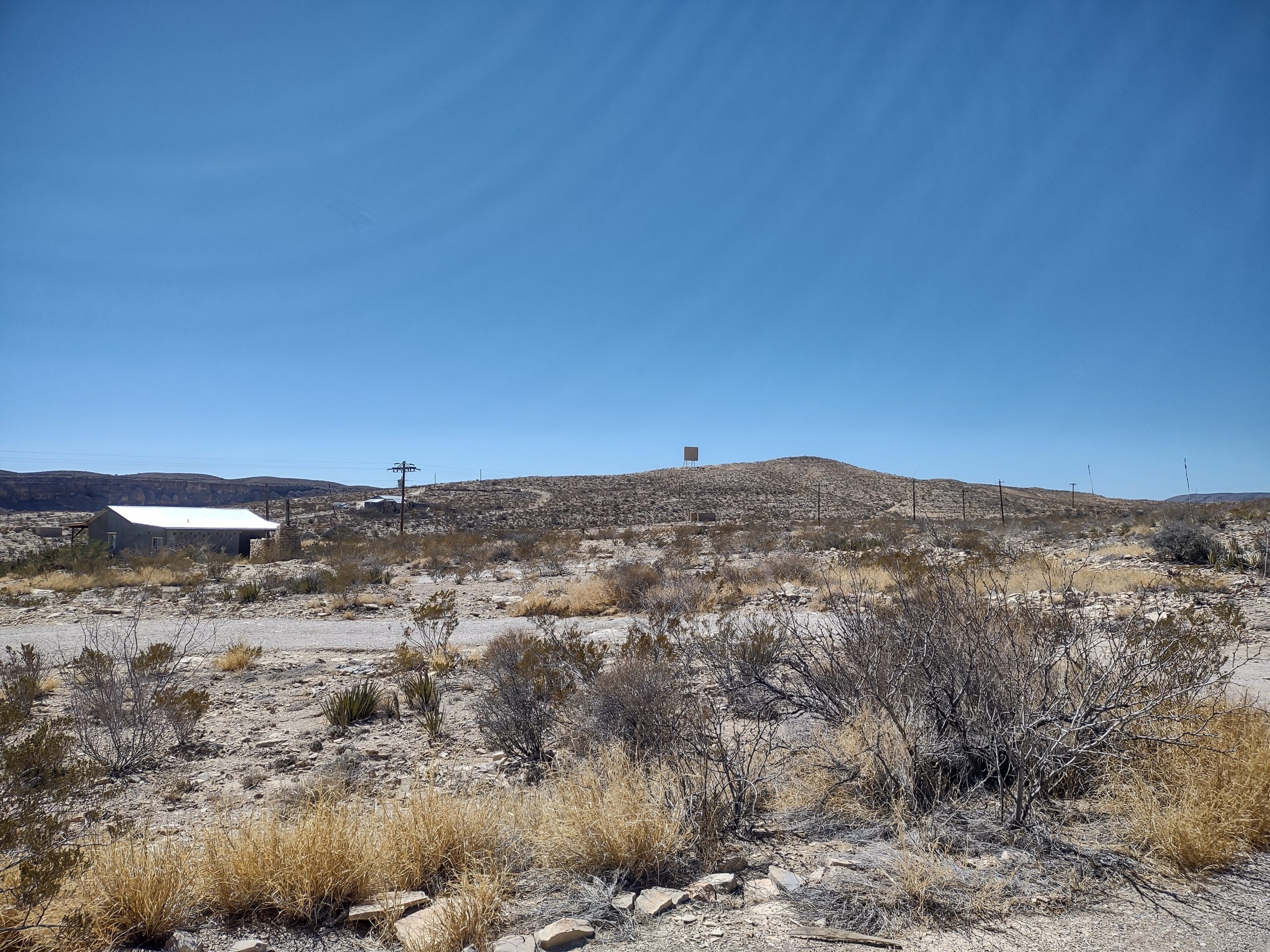
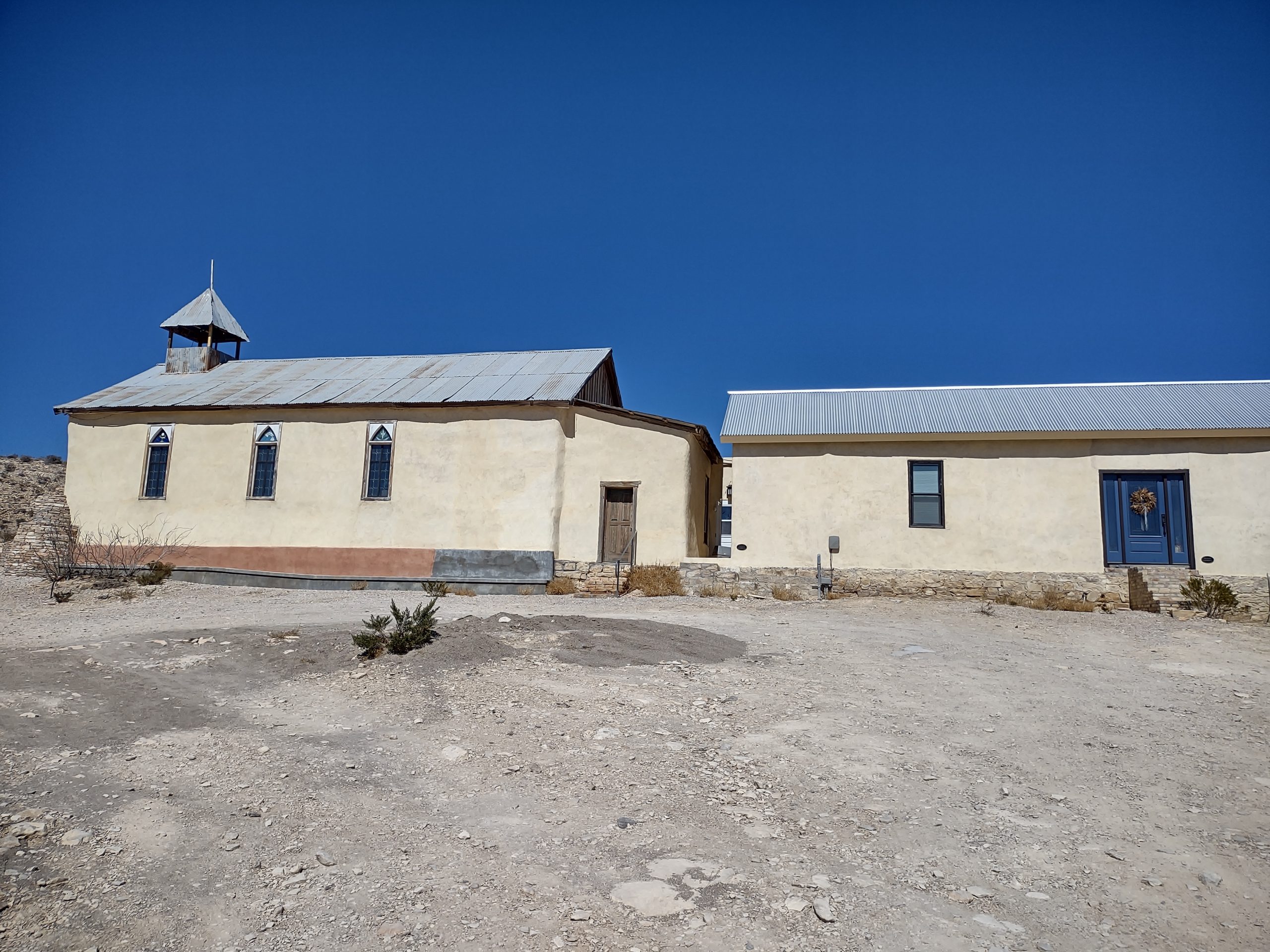
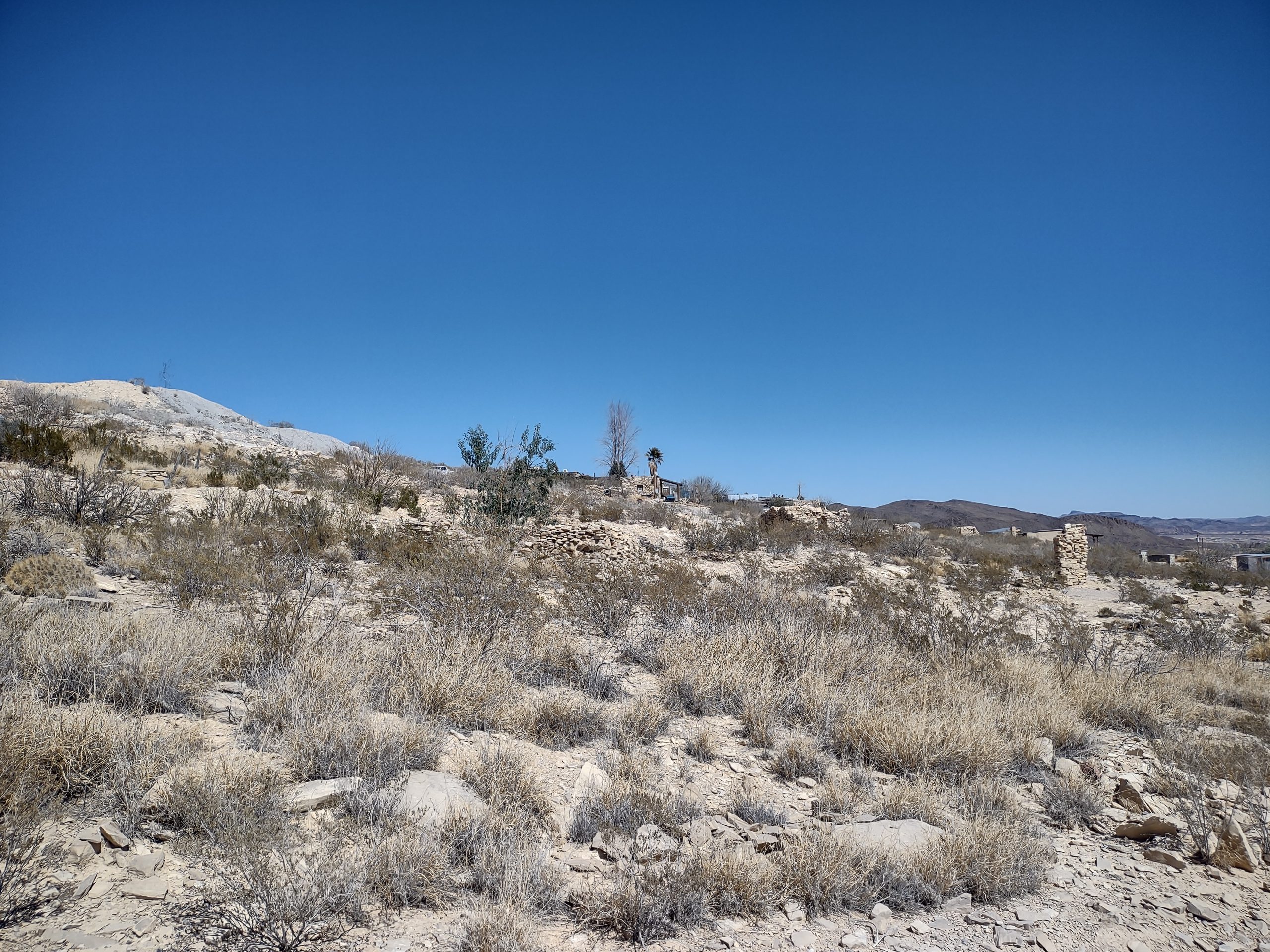
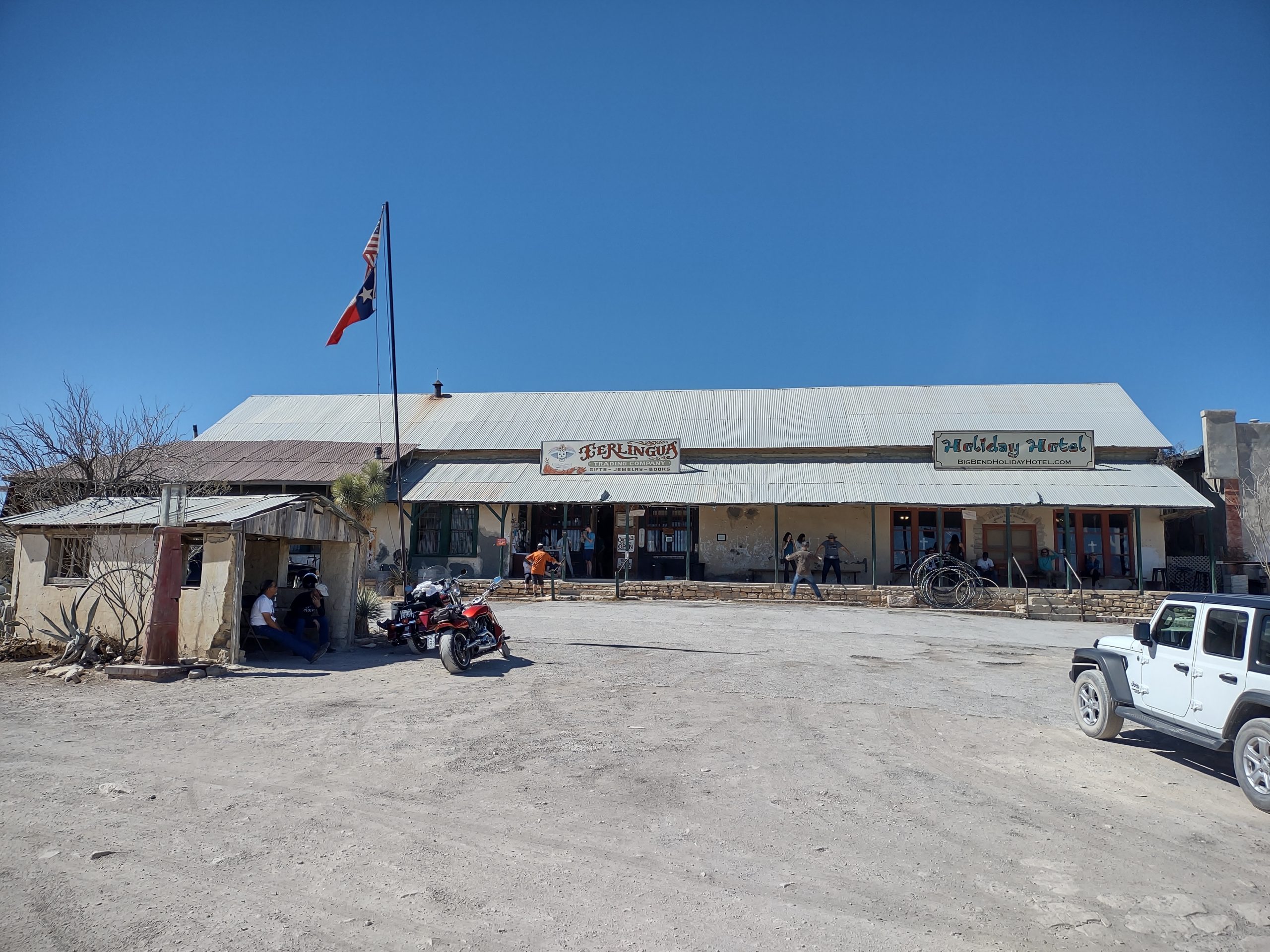
Terlingua ghost town
Dumped tanks, then drove to the Terlingua ghost town. Not much to see in this ex-mining town (cinnabar that yields mercury). Terlingua Trading Post is a tourist attraction, with folks sitting on the porch to drink beer. We bought a lovely butterfly ceramic plate at an art gallery. We left the ghost town, went to the Cottonwoods Market, buying beer (El Chingon) and other essentials. Deb made jambalaya for dinner.
Big Bend NP
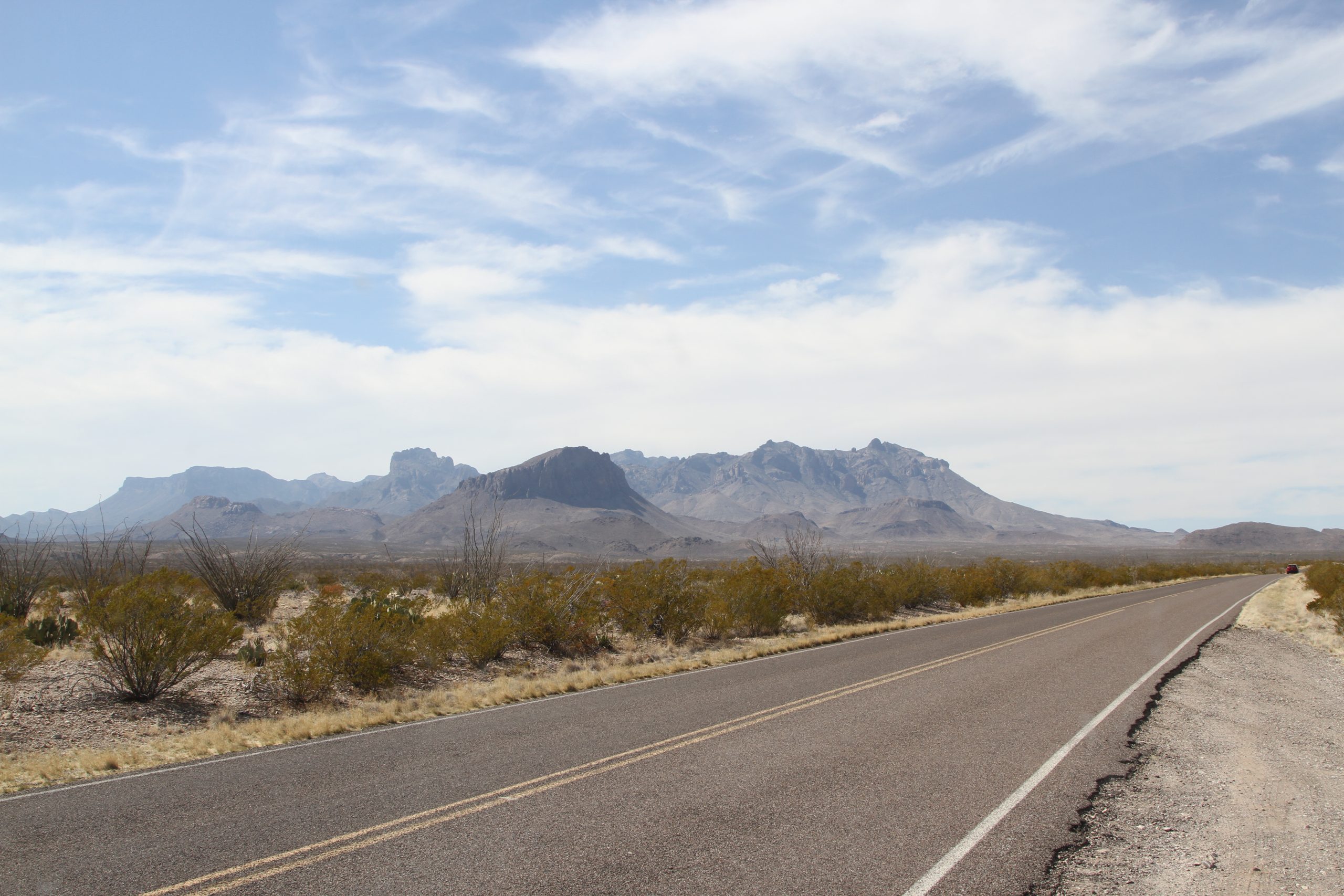
We drove into Big Bend National Park, stopping at Panther Junction (23 miles) for gew-gaws and bird-watching advice. Elevation change from 4000 ft down to 2000 ft at Rio Grande Villages (another 20 miles or so). Had lunch on whole wheat tortillas and lemon ice tea bought at the camp store. Lots of adventure bikers riding KTMs and looking hot and dusty.
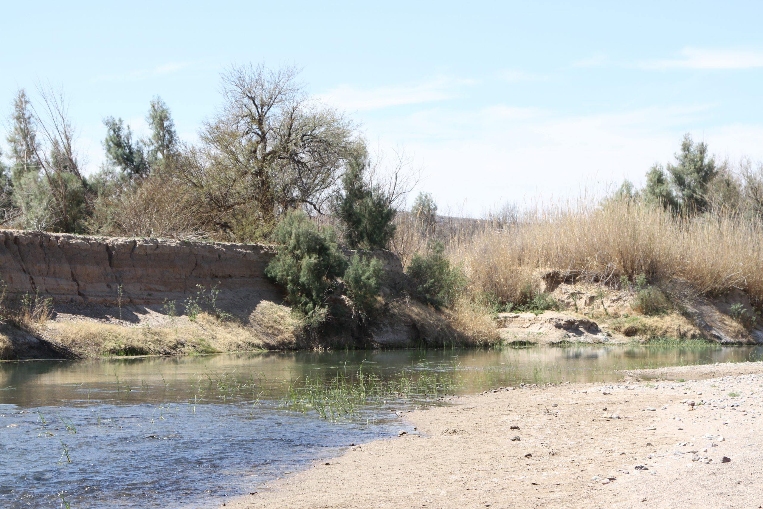
We found nature trail parking, so walked the nature trail over beaver ponds. Took the spur trail down to the Rio Grande river. Saw birds hunting insects under the land edge on the Mexican side (yellow rumped warber). We walked the overlook trail, though Deb didn’t go to the top.
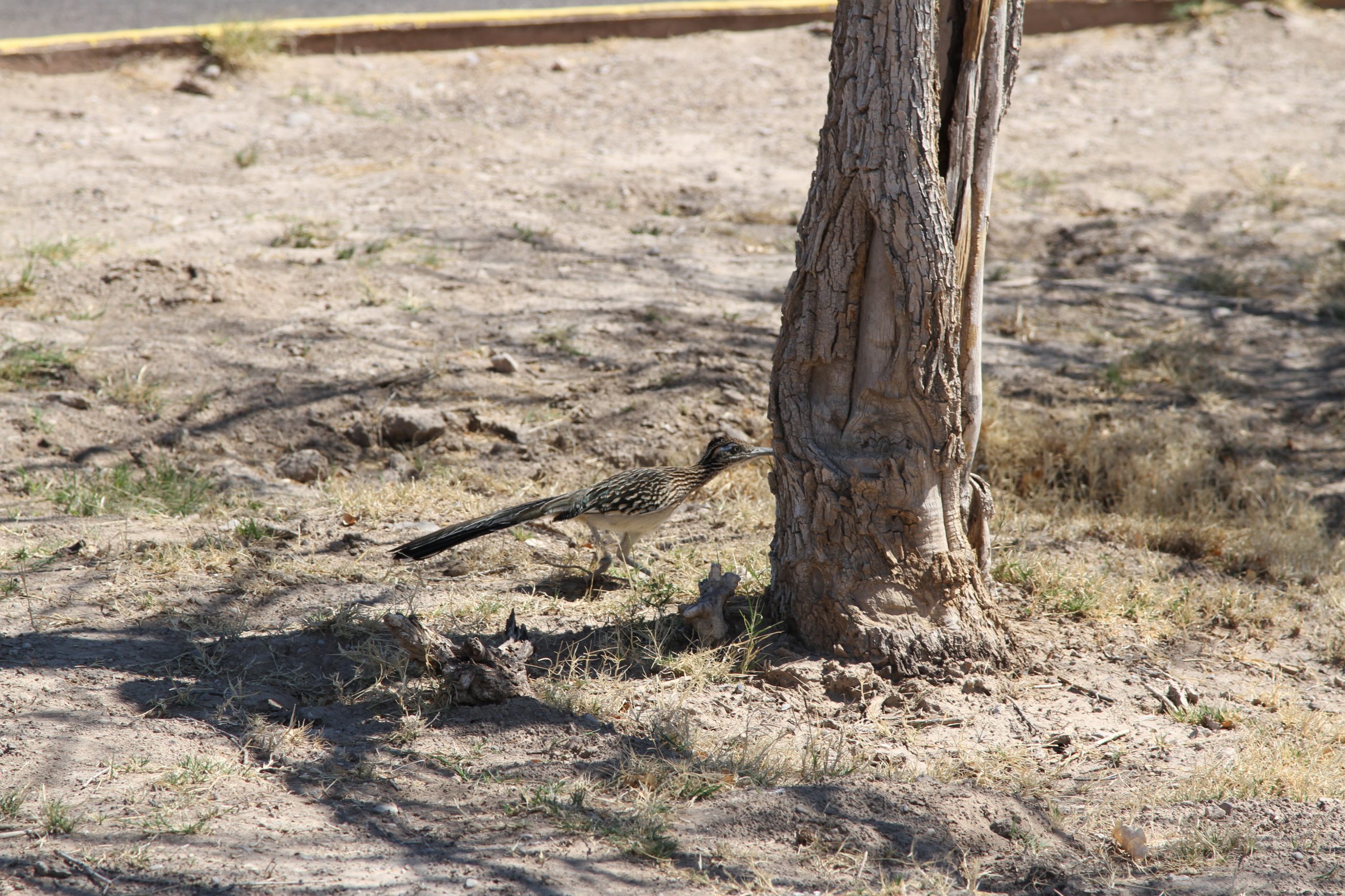
Birds seen today: Roadrunner. Golden fronted woodpecker. Yellow rumped warbler. Common raven. Black-tailed gnatcatcher. Great blue heron. Animals seen today: burros. Blue tilapia fish in the beaver pond.
Heading west to Terlingua TX
Extremely long day of driving. We left Garner SP, taking US-183 to Uvalde, then again on 90 west. We stopped at Del Rio for lunch at El Patio: Mexican food mildly/ flavorfully spiced. Got cash at the ATM and diesel. West to Langtry, a loop off 90 west where we thought there would be info on Big Bend. We didn’t find that but did drive by the Judge Roy Bean museum, though we didn’t go into the museum.
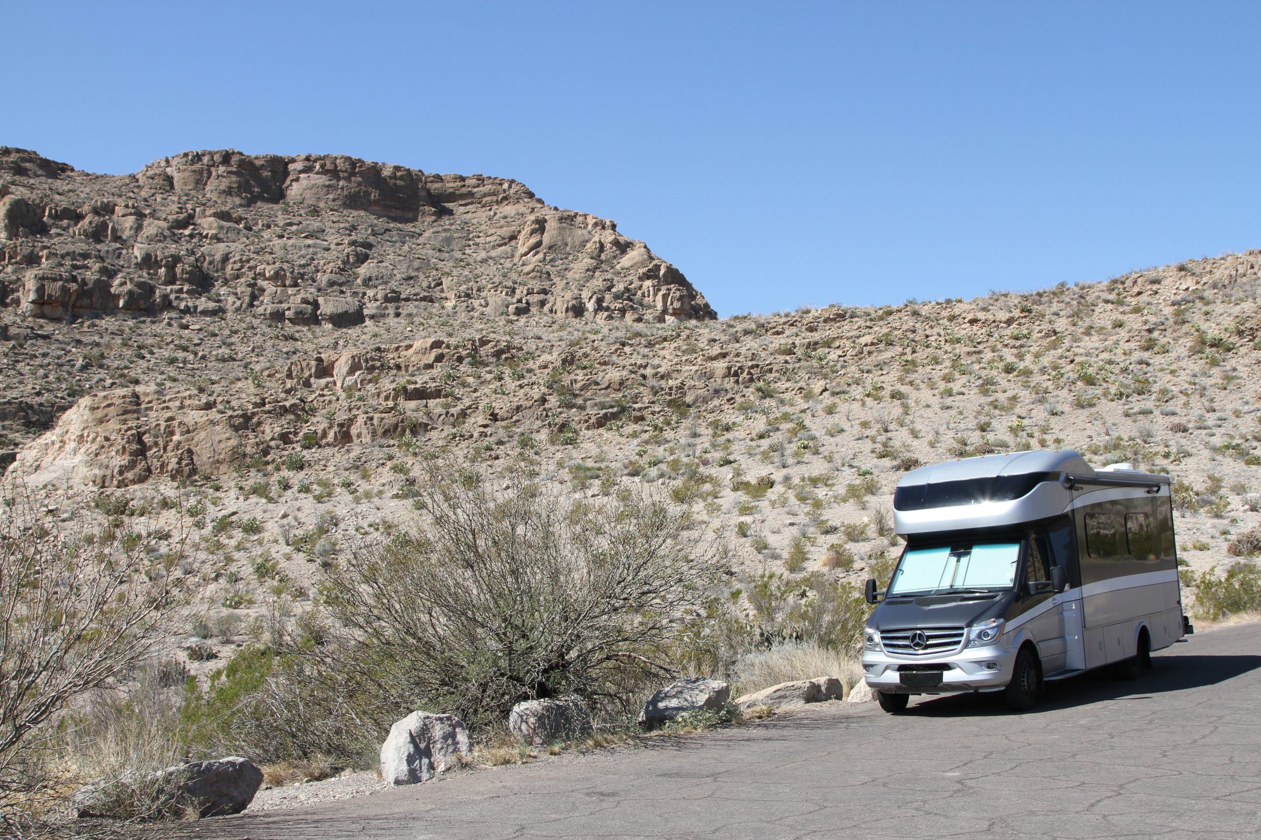
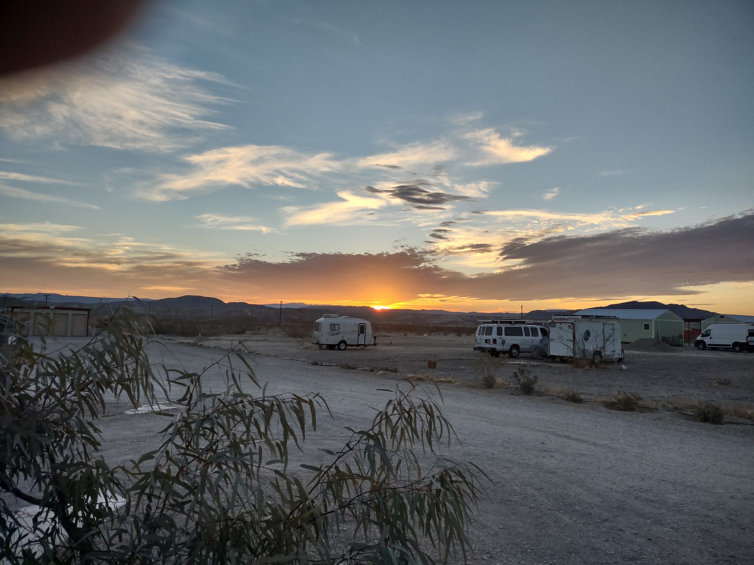
90W to Marathon, a simple crossroads with diesel above $4/ gallon. This is the easterly entrance to the park, but we’re not sure the road is good. We continued to Alpine TX, a much larger town. Diesel at the Stripes, groceries at Parkers, then south to Terlingua. We made it to the Paisano RV park, deciding that 400 miles is too long a driving day! TX-118 south from Alpine to Terlingua is bumpy and twisty. We have a nice, level site. We chatted with the camp host. We ate the chicken that now has been marinating for 24 hours. No TV reception, but good Wi-Fi and roaming cell service.
Heading west to Concan TX
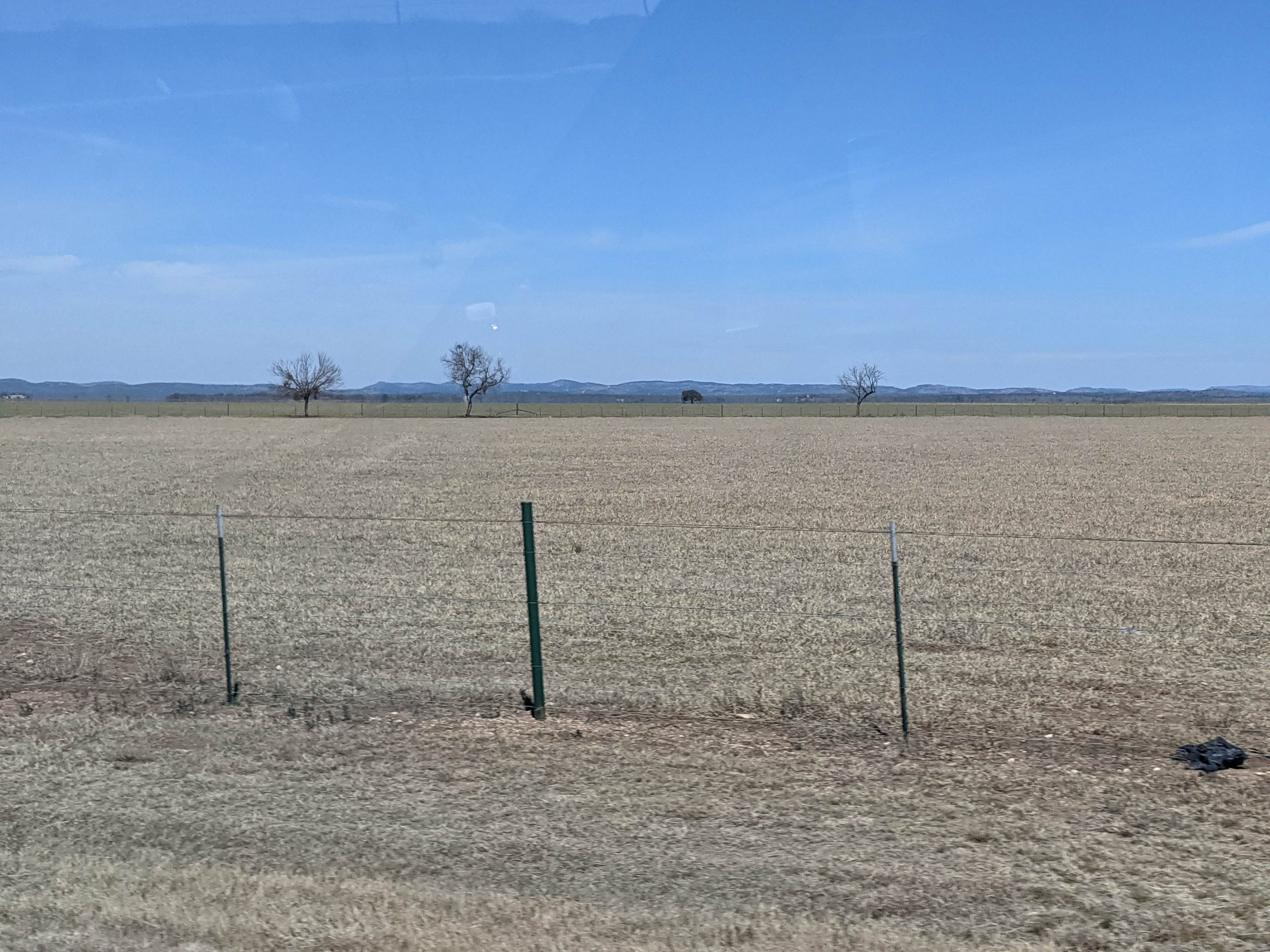
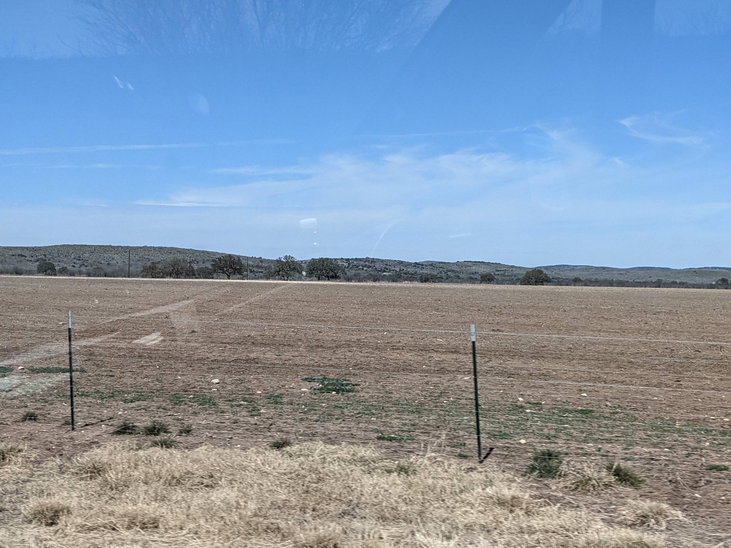
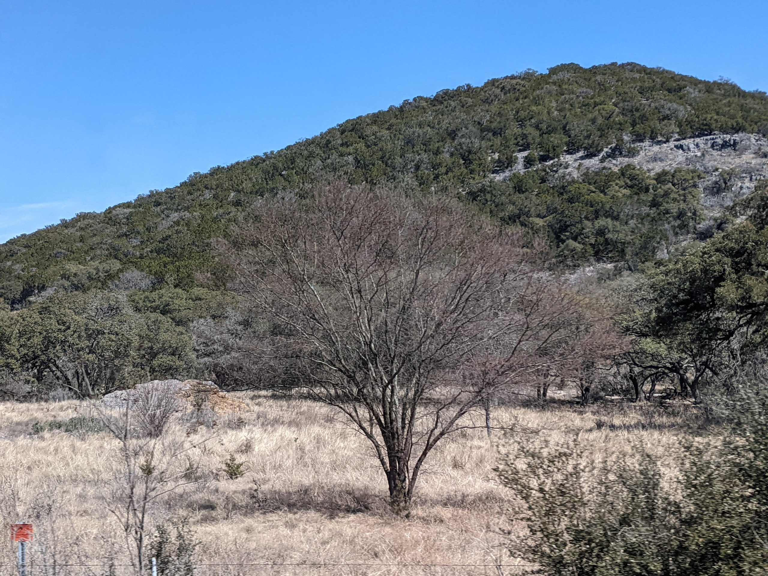
Underway at 0922 CT. Refuel at Uvalde TX, then westward. We saw the first cactus approximately 50 miles east of San Antonio. Lunch at R-BBQ (brisket) in Sabinal. Huge sandwich and tacos. I-10 through San Antonio, then 90 West. All the country is very dry, little water in the many creeks. Flat, yet the elevation is rising. We started at 100 feet elevation, San Antonio at 650 ft, Garner SP at 1000 ft. While driving, we saw “mountains” in the distance that turned out to be the hills of Hill Country which were about 700-1000 feet above the plain. Gray swaths of what we think are mesquite trees. Lots of air plants on the trees, balls that are not moss.
Birds we’ve seen today:
- Titmice. Weren’t sure if they were eastern or black capped, so we’ll have to look for the dark crest.
- Black vulture.
- More of those confusing hawks.
- House finches, cardinals, doves.
- Some kind of towhee: gray cap, rufous/orang-y/ red breast and shoulders, white belly. Size of sparrow.
Garner State Park is on the Frio River. We walked to the overlook of the Frio River, then down the original entrance road built by the CCC in the 1930s to the old entrance. Back through the cedar and mesquite on the rocky Wild Horse Creek Trail. We sat outside listening to birds while our chicken dinner marinated. The air is very dry. Ultimately, Deb ate her leftover brisket taco. Jim’s slug of the Bob Senior brisket burger sat heavy in his stomach, so he had carrots and hummus. No cell service for Verizon, but we found later that one of the camp buildings has Wi-Fi. Jim did an online meeting and we did some email, but it was getting cold to be outside. No TV reception, so we had a low-tech night on tablets in the RV. In bed at 11pm for a long drive to Big Bend tomorrow.