Down to Eugene
We stopped in Eugene OR on our way to Medford for the Oregon Wine Experience (see separate post). Not much to say except that the Willamette Valley is flat. It gradually comes through the vee of the Cascade mountains and coastal range. Highway miles through farming country.
Dufur and the valley
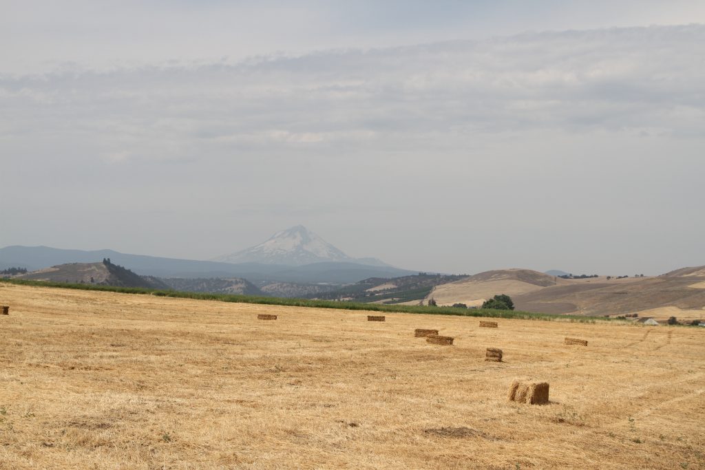
In an earlier post I mentioned the gorgeous view of Mt Hood across the Dufur valley. On 8/19, we came back to Dufur primarily to take a picture of the valley. It was a bit hazy, but still impressive.
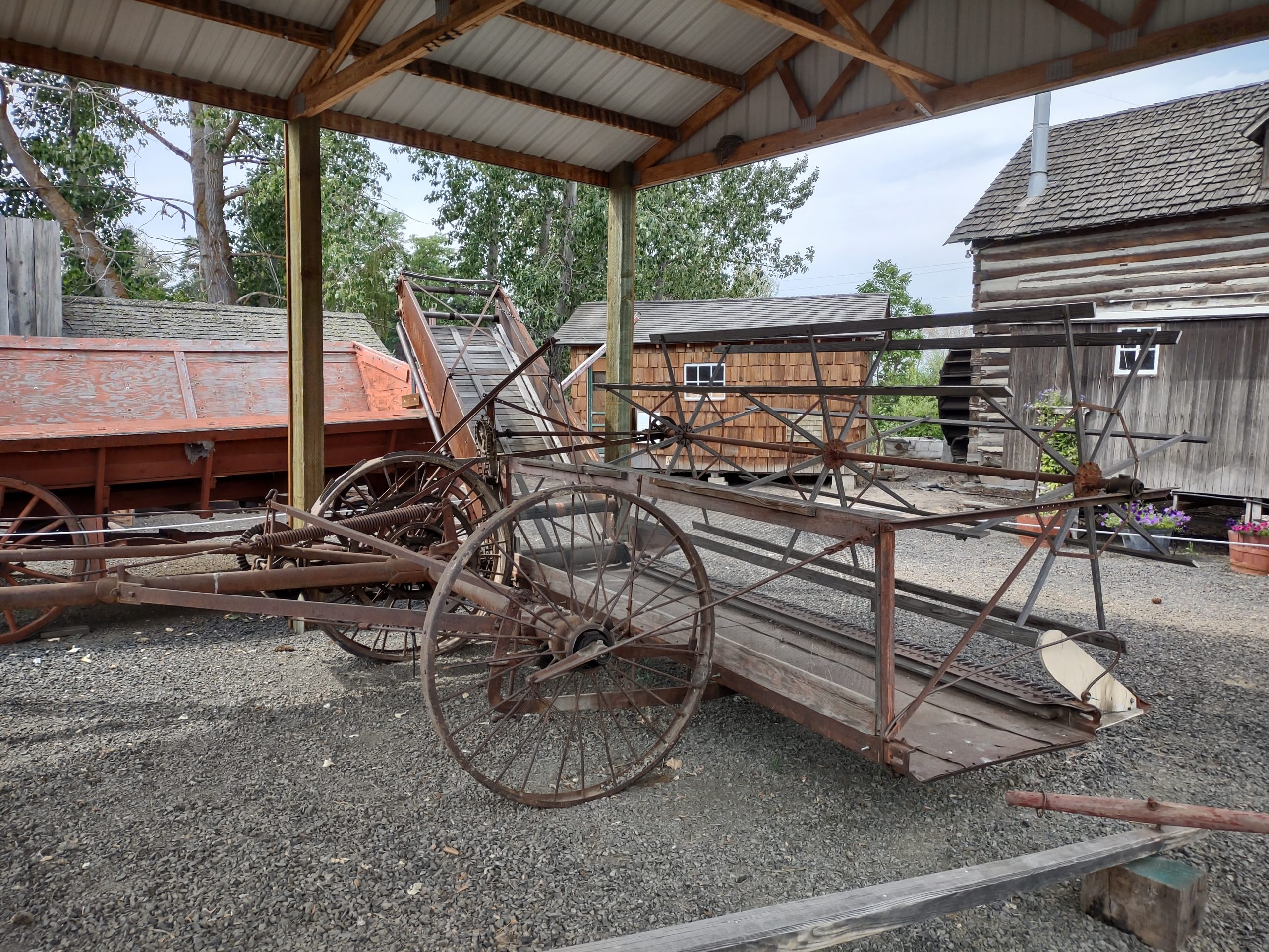
We also toured the old-timey museum in Dufur, mostly with dry-land farming implements and stuff from the early 20th century. We took better pictures of the two most important buildings, the Kramer Market (since 1905) and the Balch Hotel (since 1907), both of which are still in operation.


Dutch Flat loop
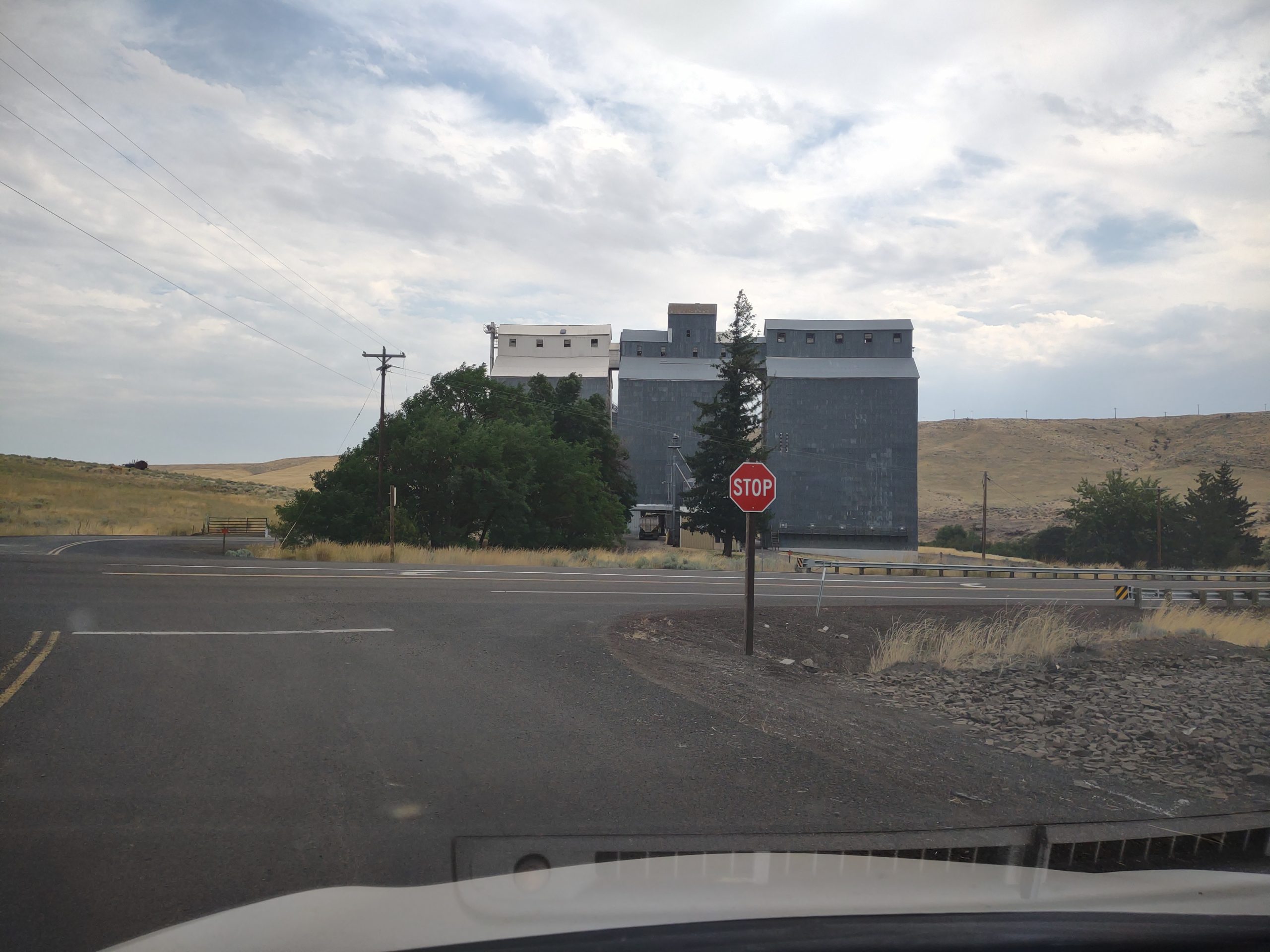
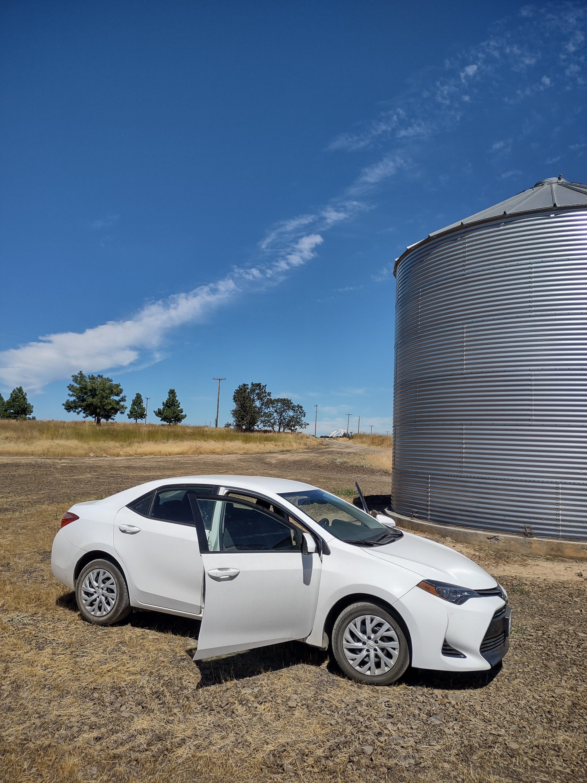
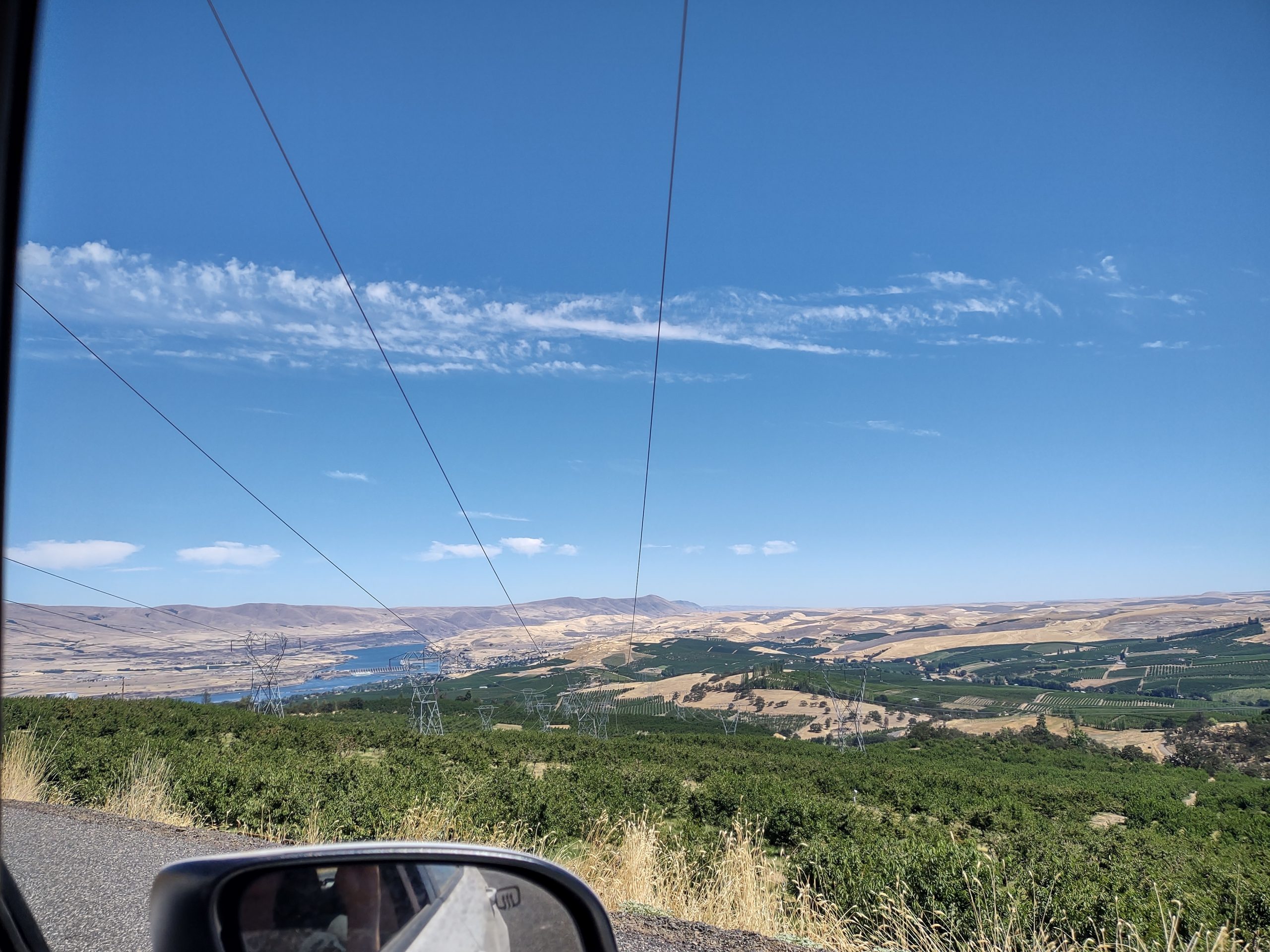
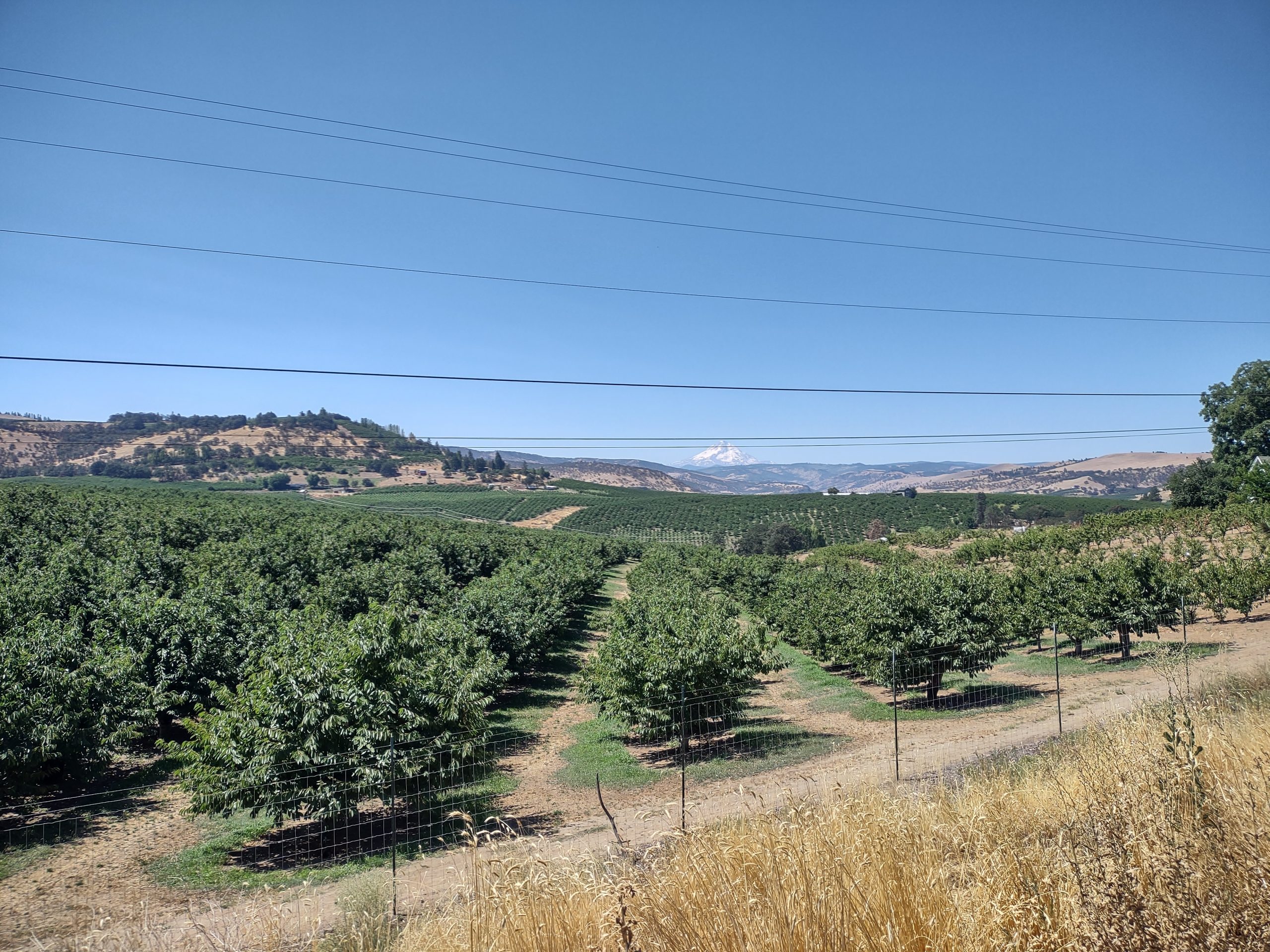
On Sunday, we decided to get out for breakfast. Had same at a place in town, then decided to see where Dry Hollow Road goes. We found it goes out through orchard (cherry mostly), then into farmland. After a while it turns to gravel. Hey, we were in a rental car, and you can do anything in those! We still had enough GPS to know where we were, so we proceeded. Turned roughly north onto Dutch Flat road. We stopped at two grain storage bins, seeing both Mt Hood (near enough) and Mt Adams (far away).

We passed a combine operation, as the wheat harvest is still in full swing.


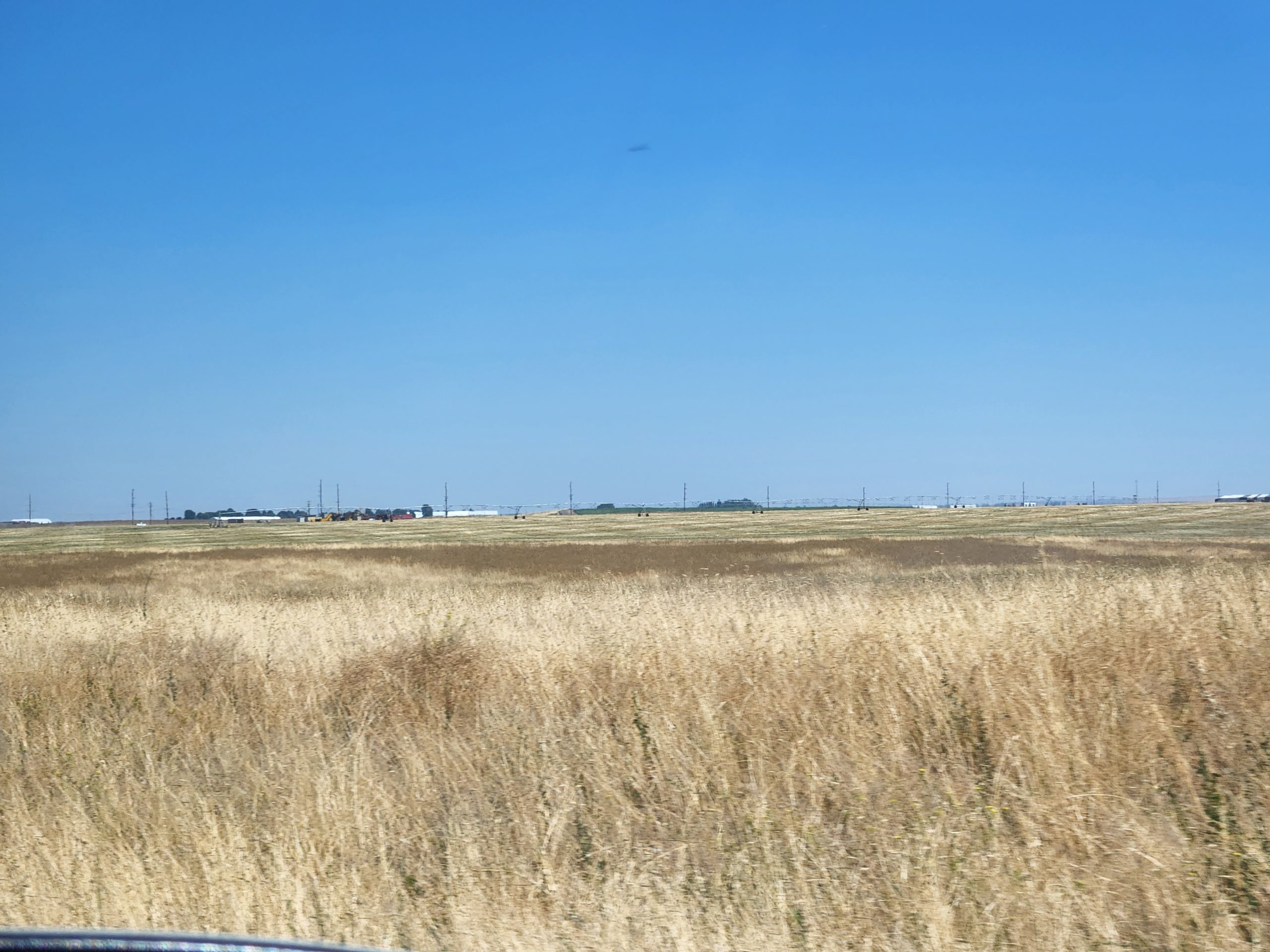
Then we wended our way back over about 15 miles of gravel road. Skyline Road is just that: high on the plateau and right at the edge of steep falloffs. I drove in the middle of the road, and even in the left lane to hug the hillside. The land had clearly been range land, shown by all the decrepit barbed wire fencing. What wasn’t fallow range land was in wheat … thousands on thousands of acres. After skinnying our way back down the road, we got back into The Dalles. Top speed on those back roads was 20 mph!

Tamanawas Falls loop
We’re coming to the end of our stay here, so answers to the question “What do you want to do today?” are getting harder to find. When Deb asked me that today, I told her I wanted to go walking. She found a trail in “The Creaky Knee Hiking Guide” at Tamawanas Falls. Our Golden Age national pass would cover parking at the trail head. We decided to get there a little indirectly by going through the town of Dufur and then west through the Mt. Hood national forest.
Dufur is a town that grew up around dry land wheat farming. The town was having its summer Threshing Bee, so there were lots of people in town. The Bee includes a parade; an arts market; lots of antique cars and farm machinery; and a quilt competition. Photos at https://www.facebook.com/dufurthreshingbee.
While we only drove through and didn’t stop, we might go back to see Dufur’s two or three well known buildings, like Kramer’s Market and the Balch Hotel. Fifteenmile Creek flows through the town and proceeds west. Its tributaries roughly parallel Dufur Valley Road, along which we proceeded. This road is closed during winter; the valley with its views of Mt. Hood is absolutely beautiful. Nearly through the forest, we changed to NF-44 and then intersected with OR-35. North a mile or so and we got to the Tamanawas trailhead.
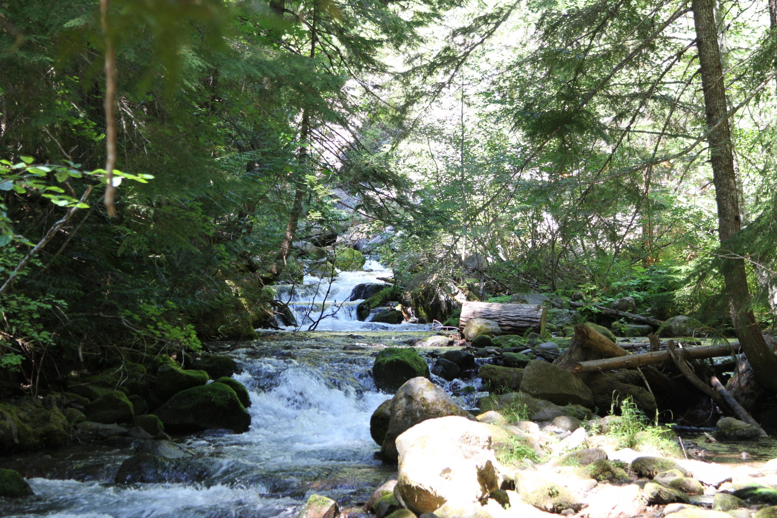
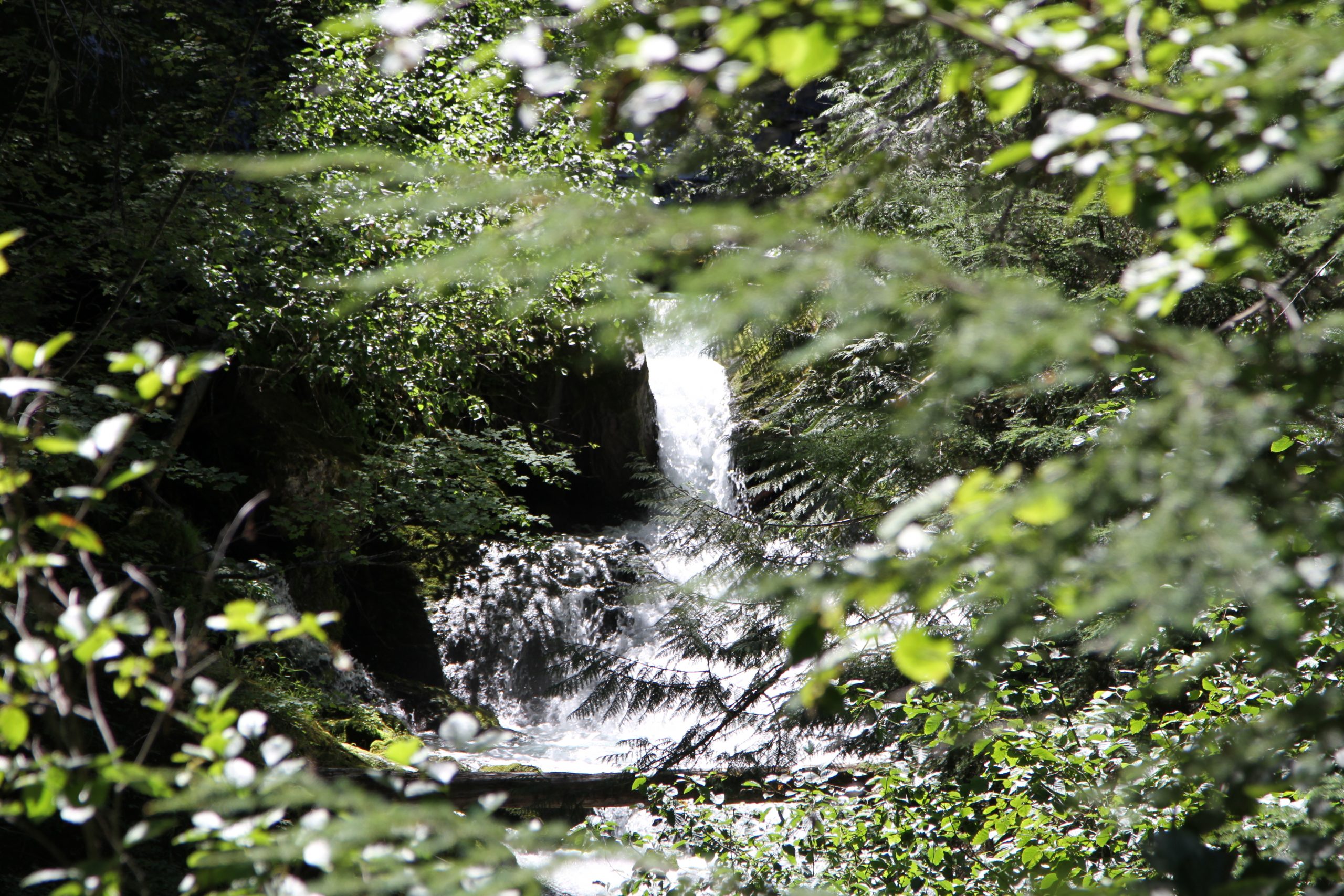
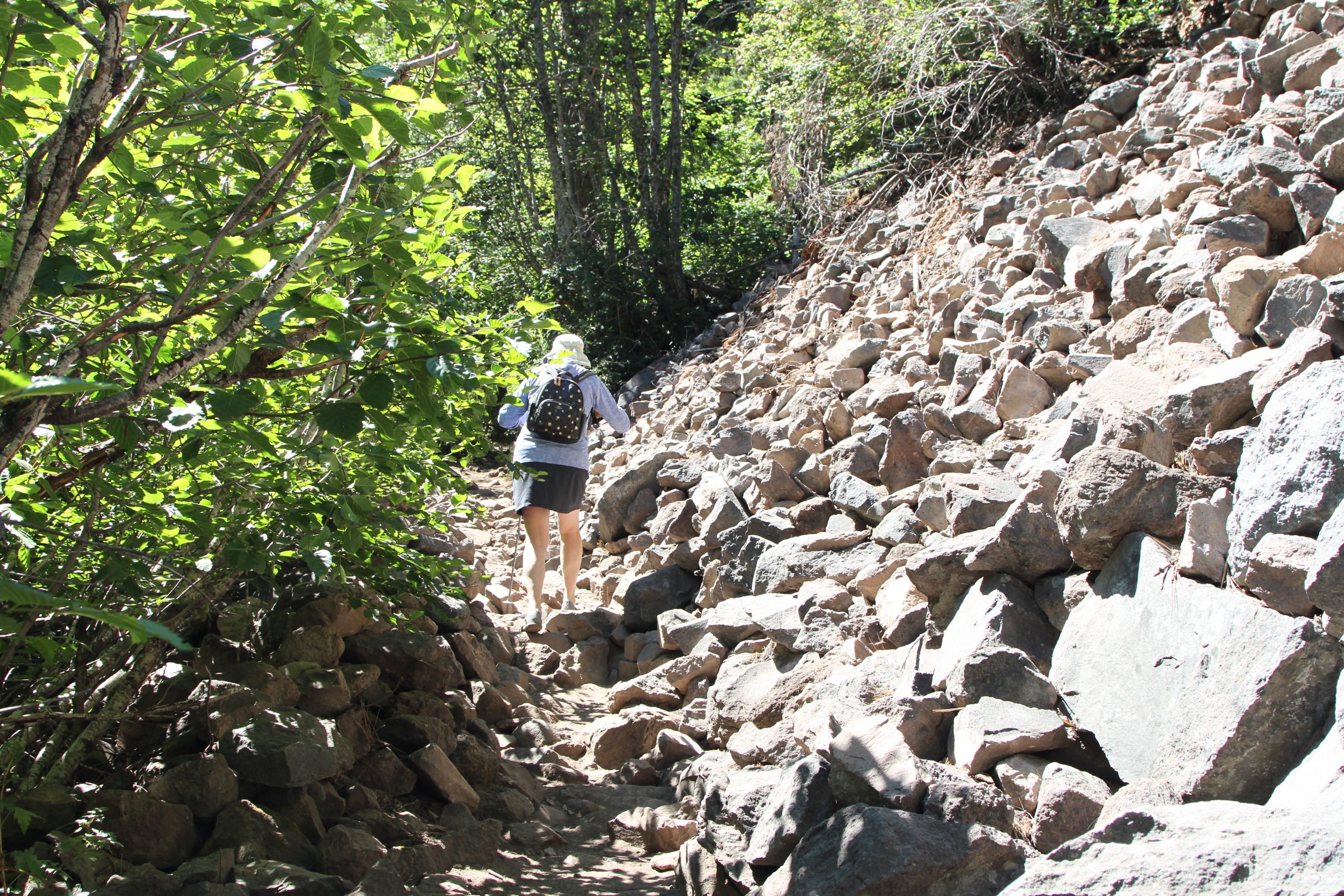
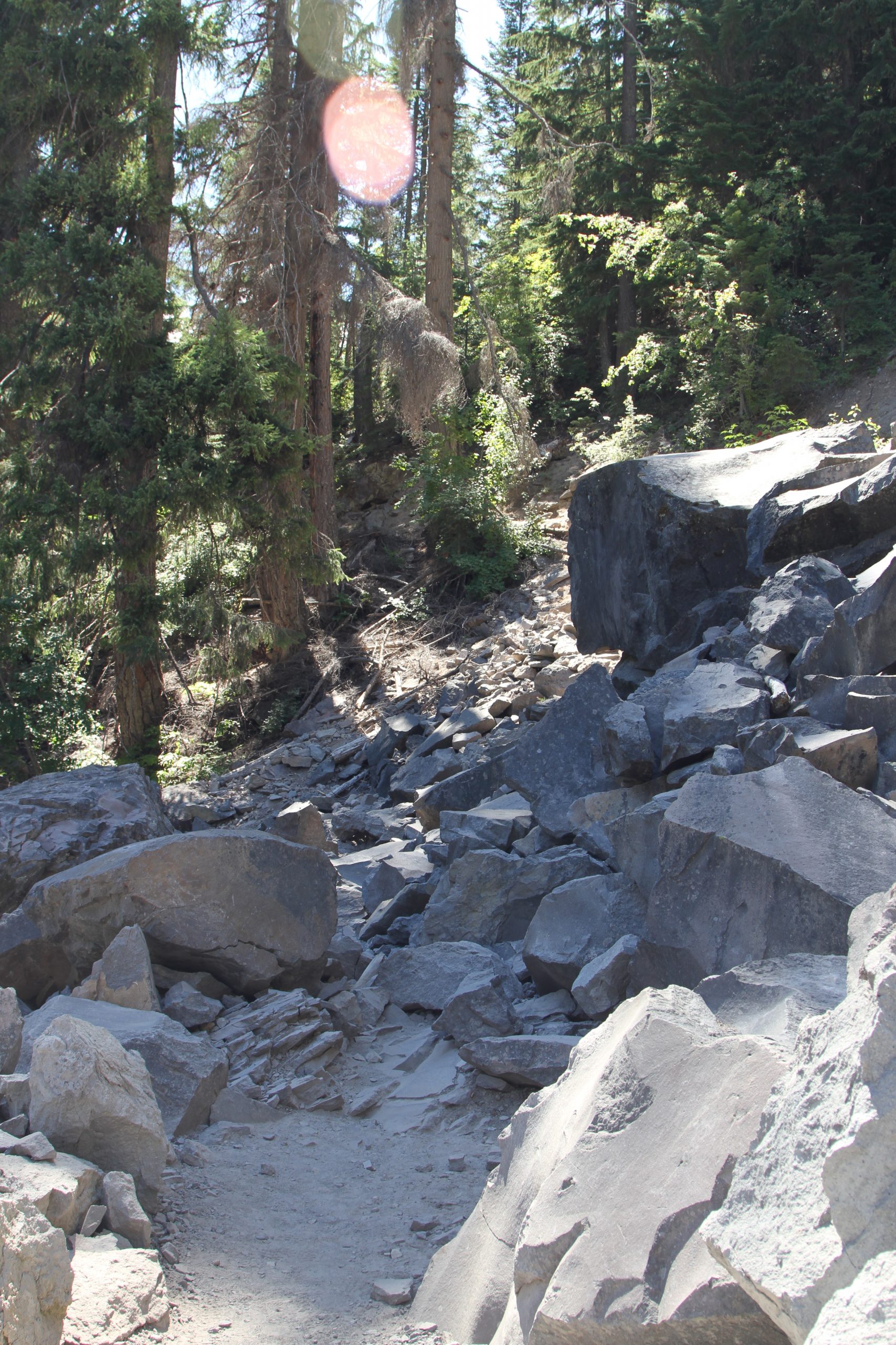
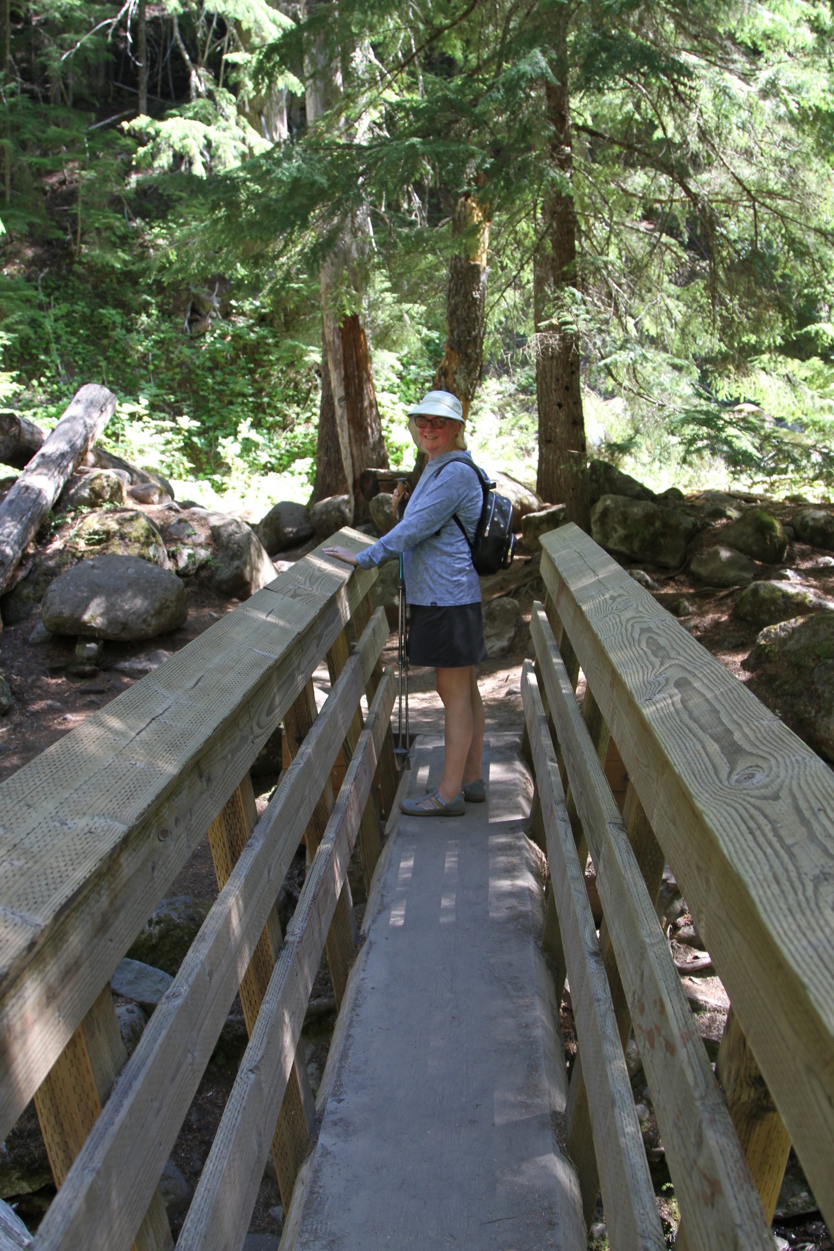
We got our kit together (camera/ binocular harness, backpack with water, Deb’s walking sticks) and proceeded. It’s a typical mountain stream coming down from the mountain. For the first mile or so, the trail was narrow, but easy enough. Don’t slip, as there’s no shoulder and the descent is straight down through trees and rocks! This is a busy trail, so we constantly had to wait for people to pass us one direction or another. We crossed two log bridges, first over the E. Fork of the Mt Hood river, then over Cold Spring creek. After a while, the trail got very rocky and very steep. Lots of scree from previous rock falls/ slides. Passable for young goats, but too much for us old geezers. We turned around before we actually got to the falls.

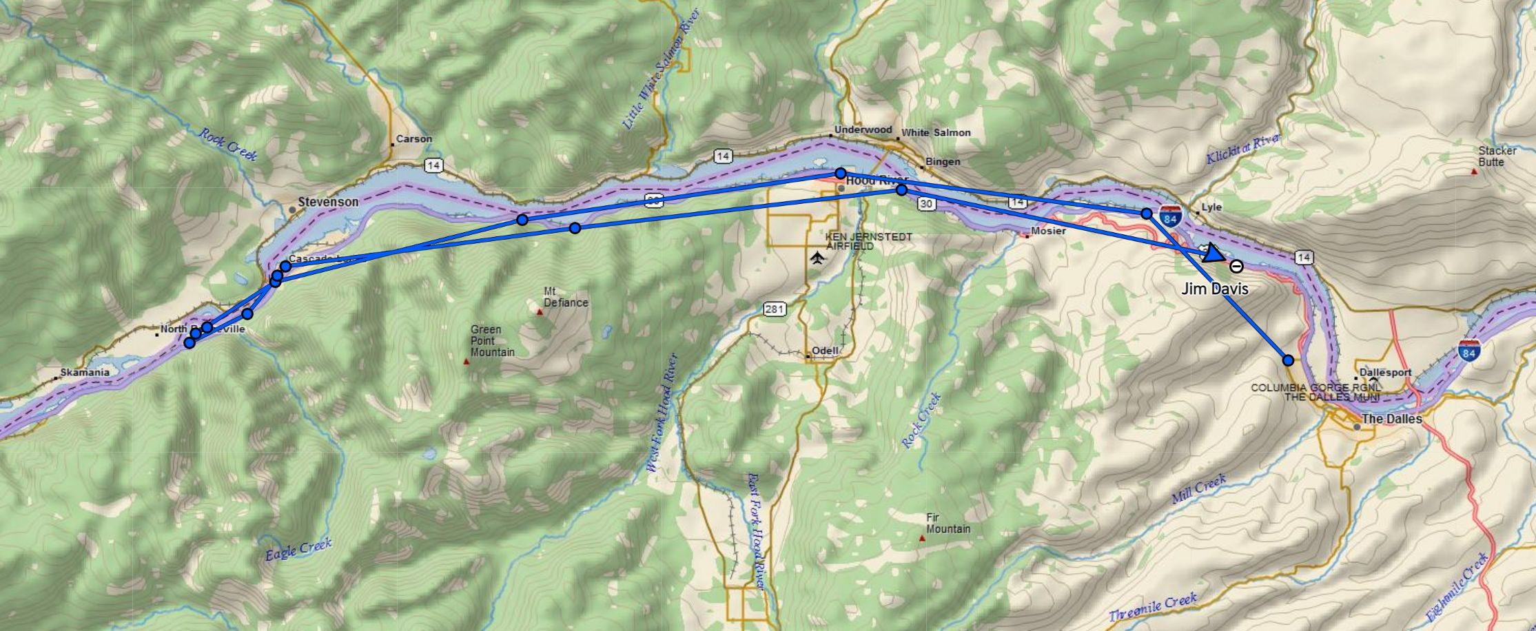
Getting back to the car, we hit another bucket list place: Big Jim’s Hamburgers on the east side of The Dalles. Darn good burger, thin buns and we didn’t run out of bun before we finished the goodies inside!
a Dam day
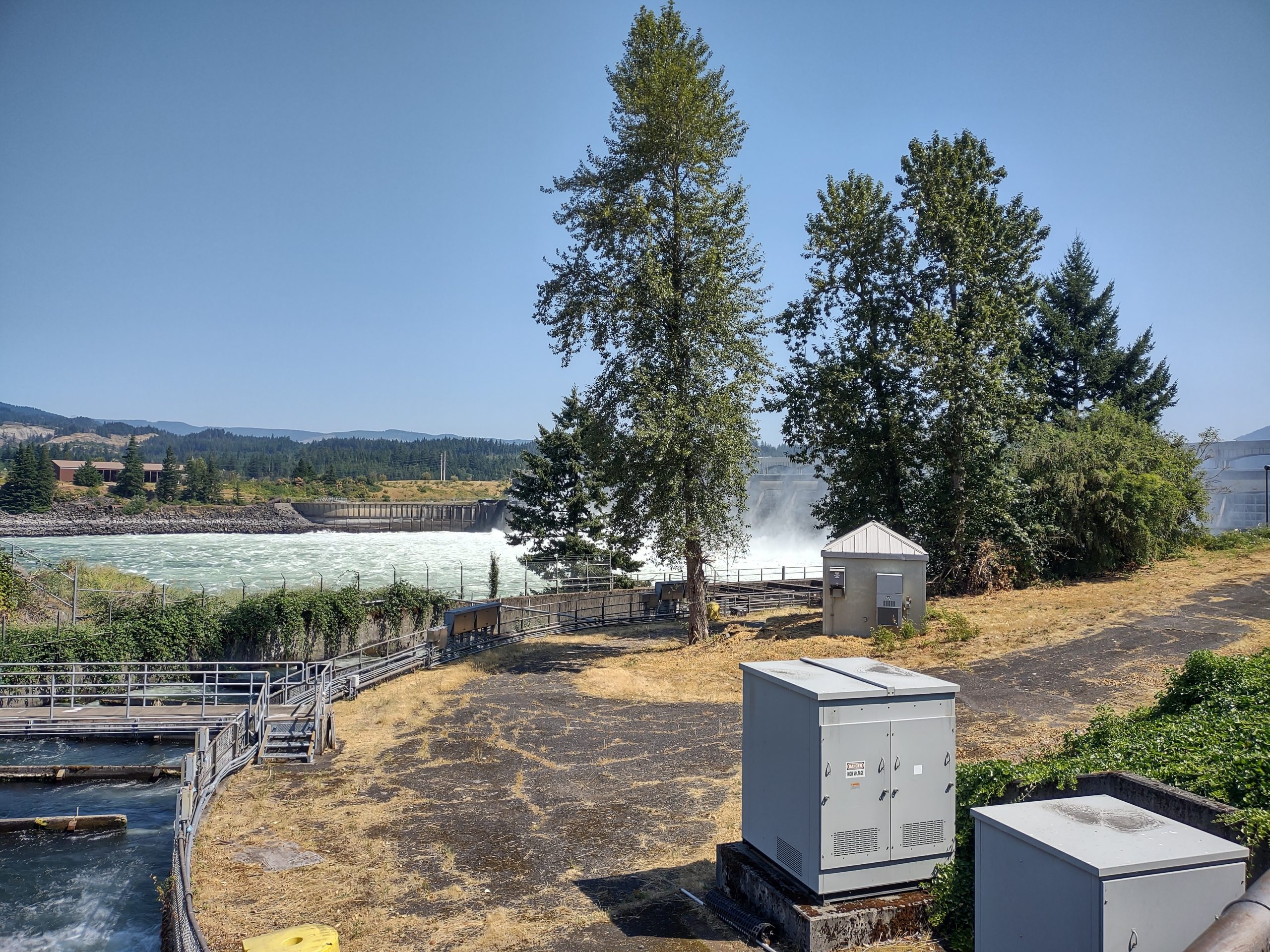
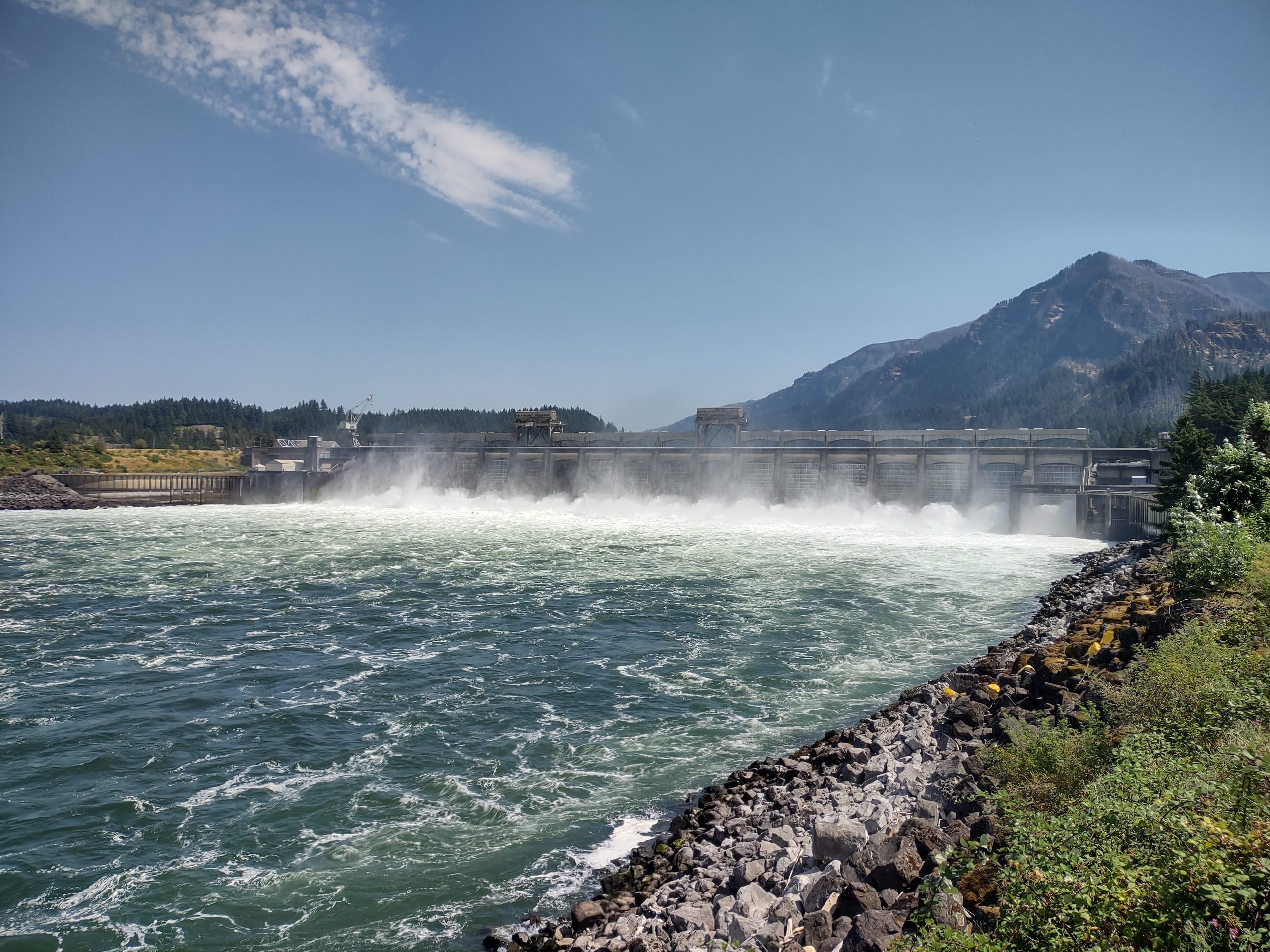
Having learned at The Dalles dam that the Bonneville dam had more access to the dam itself, we drove there to see. On the way, we drove through Cascade Locks, where there had been a canal and lock to get around rapids, replaced by the Bonneville dam. On arriving at the Bonneville dam, the gate guard checked our car for guns and drones, neither allowed in the area.
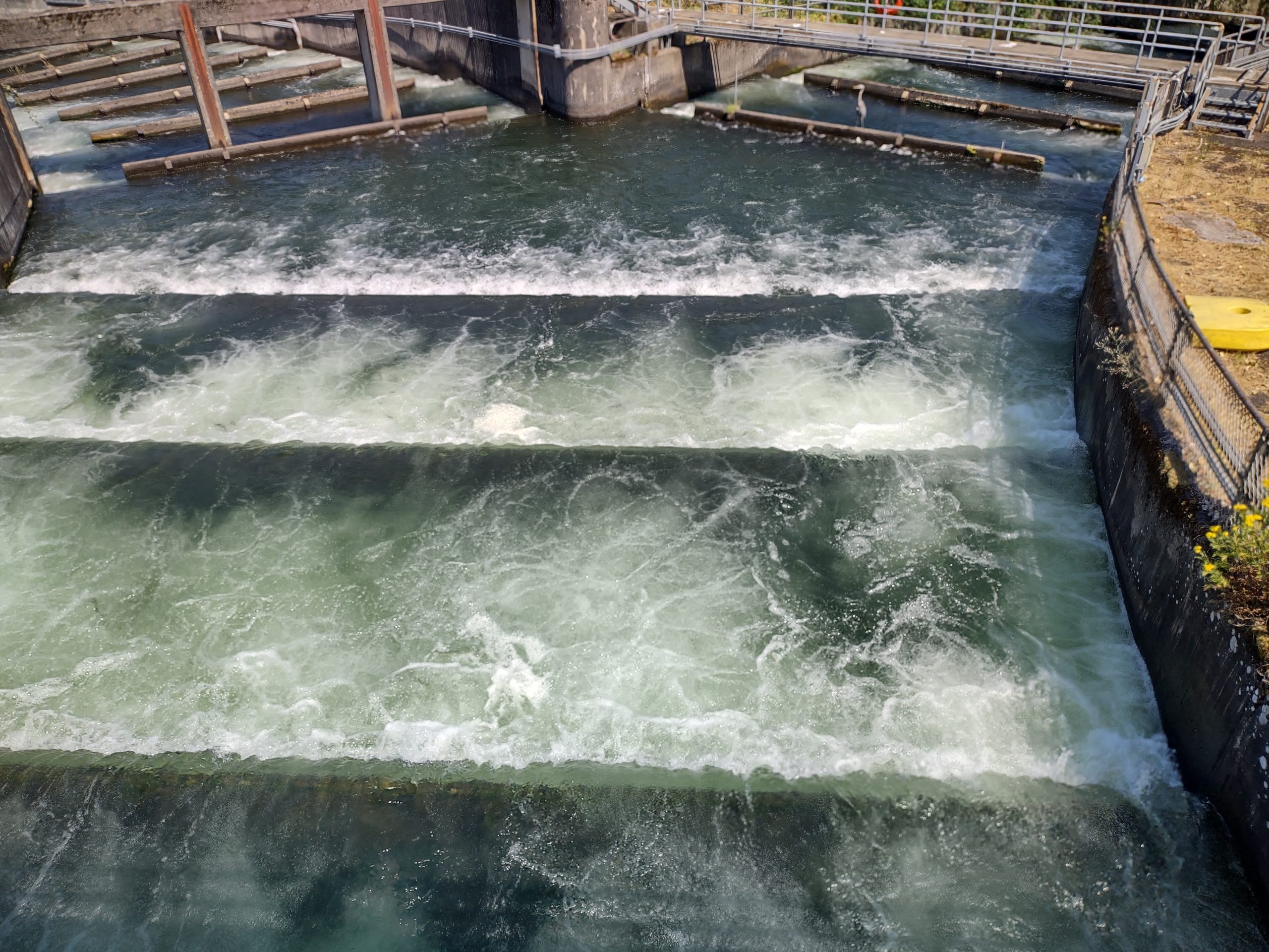
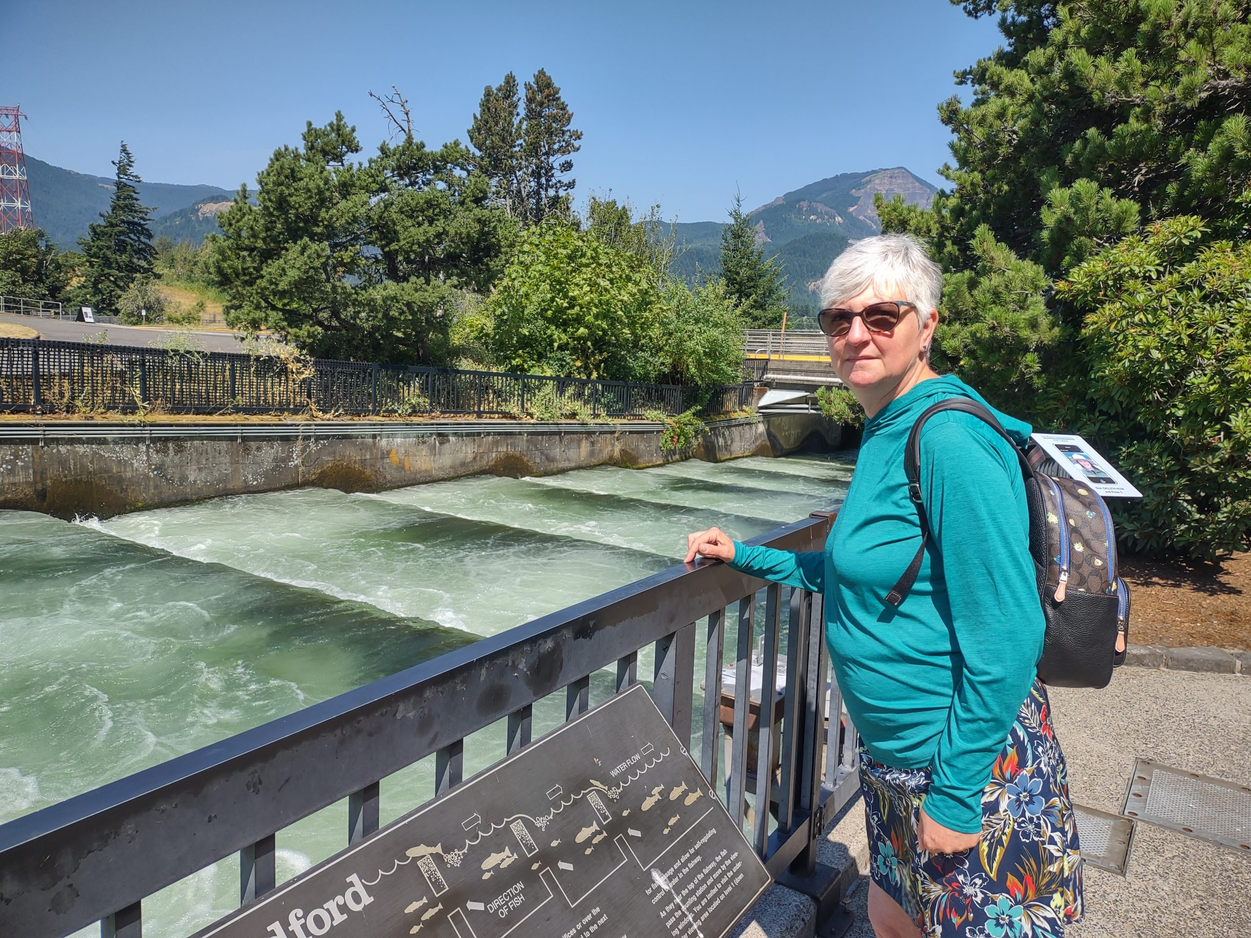
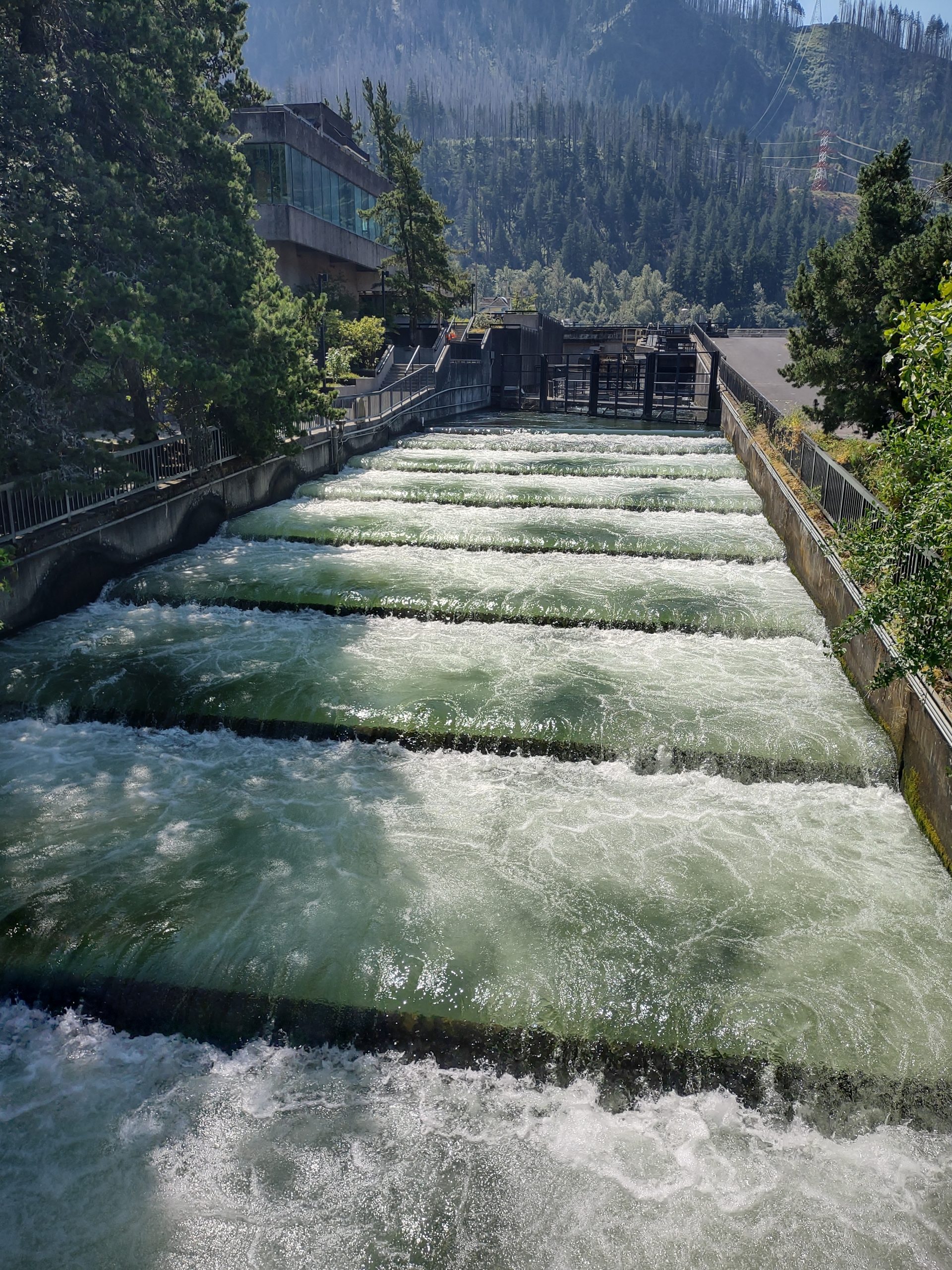
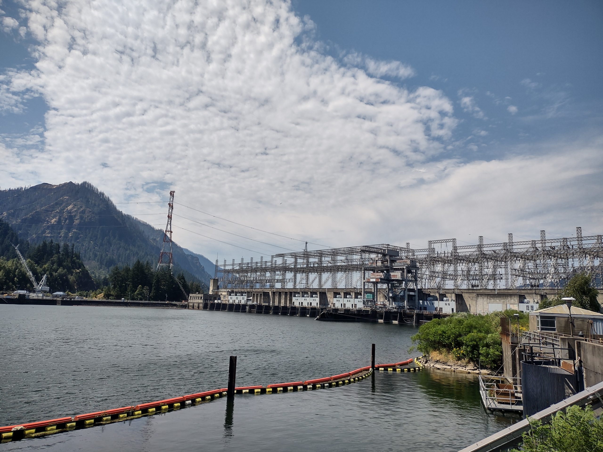
The dam has four main parts. There are two power station dams, one spillway dam and a navigation lock raising/ lowering vessels 60 feet. There are three islands and the spaces between them are where the dams are built. At each power station dam, there is a collector that encourages fish traveling upstream to move across the dam face to fish ladders where they can continue upstream. The spillway dam lets the Army CoE manage river water level and coincidentally provides a downstream path for fish headed to the ocean. The configuration has changed since the dam was built in the 1930s.

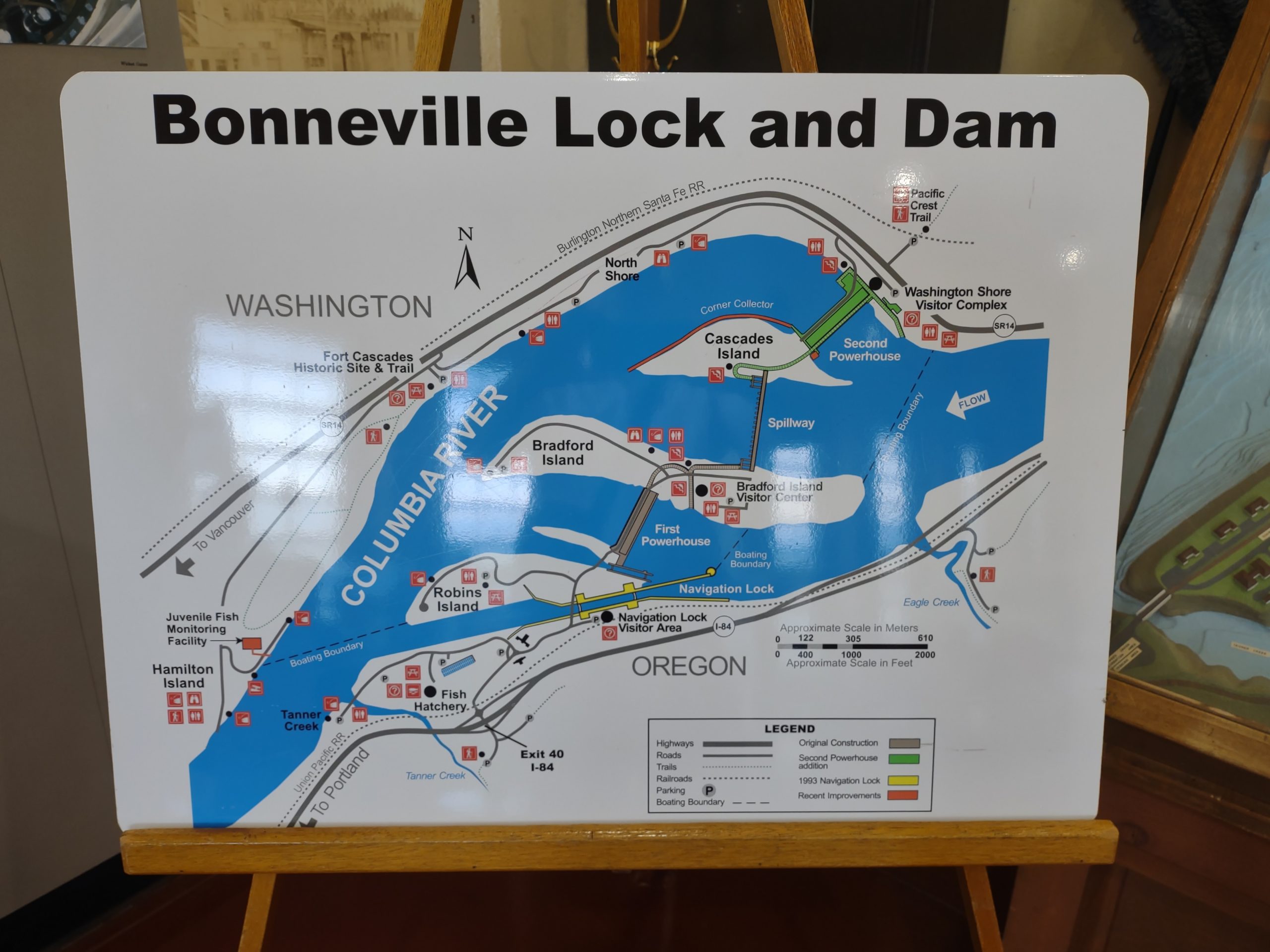
The visitor center was on five levels. The bottom level had viewing panels for the fish ladder and the counting room. Fish don’t have to jump each ladder; there are passages where they can simply swim up to the lakes above. In the counting room, employees literally count the number of each species of fish passing up the fish ladder. Deadly boring to me, but I thought it might make a fantastic job for the hyper-focus sometimes accompanying autism. There are museum-like exhibits on level four and an observation area on level five.
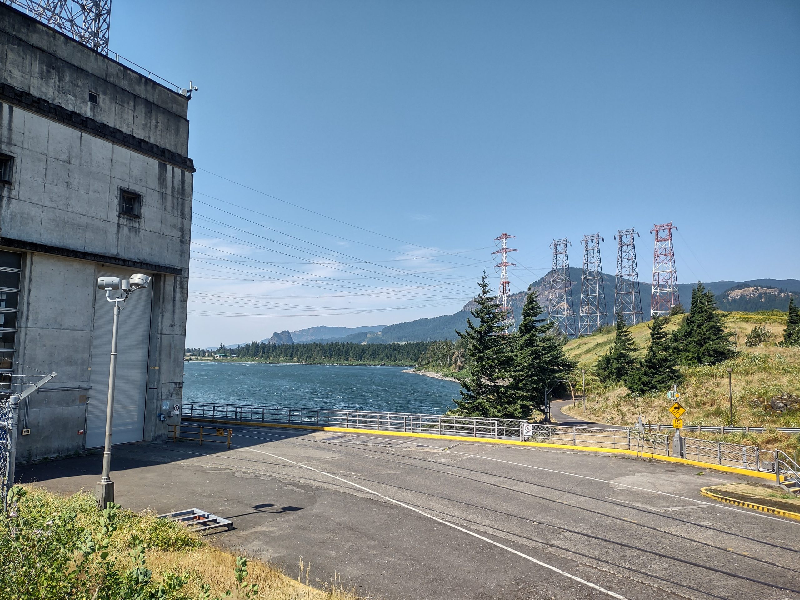
We went down to level one, then walked over to the number 1 power station dam. What you see in the powerhouse is the electrical part of the power turbines. Below the stator/ rotor are the turbine blades turned by water falling from the dam lake to the output. The turbines, refurbished relatively recently in the dam’s history, now have adjustable pitch propellers with variable geometry blades. This took Jim back to his Navy days designing props and working in shipyards! The new designs have improved the through-turbine fish survival rate into the mid 90% range.

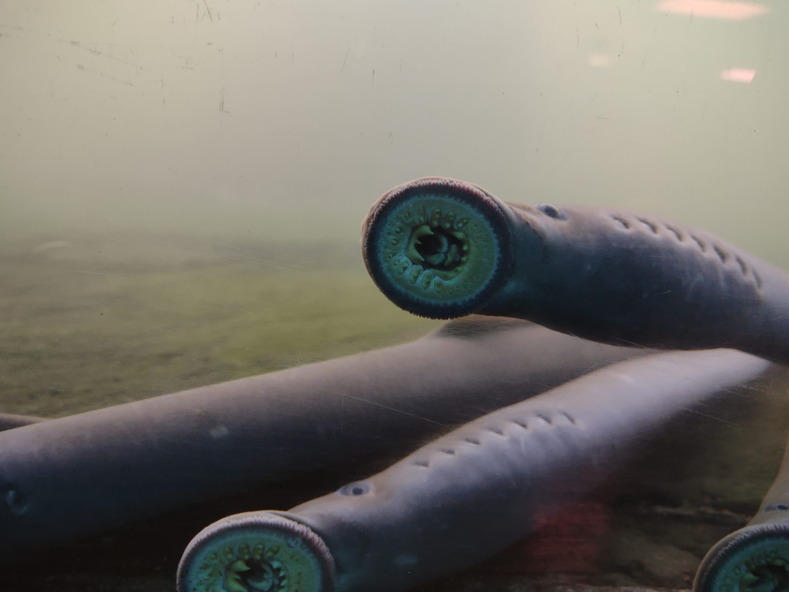
We went back to the fish viewing area. We found one window with lampreys sucking onto the window. Lampreys are not eels but are among the oldest of animal species. In the ocean, they are parasitic on other fish. We also saw large steelhead trout and salmon, probably coho. The fish counters identify fish in an instant and click their keyboard to indicate species, sex and whether hatchery raised or wild.

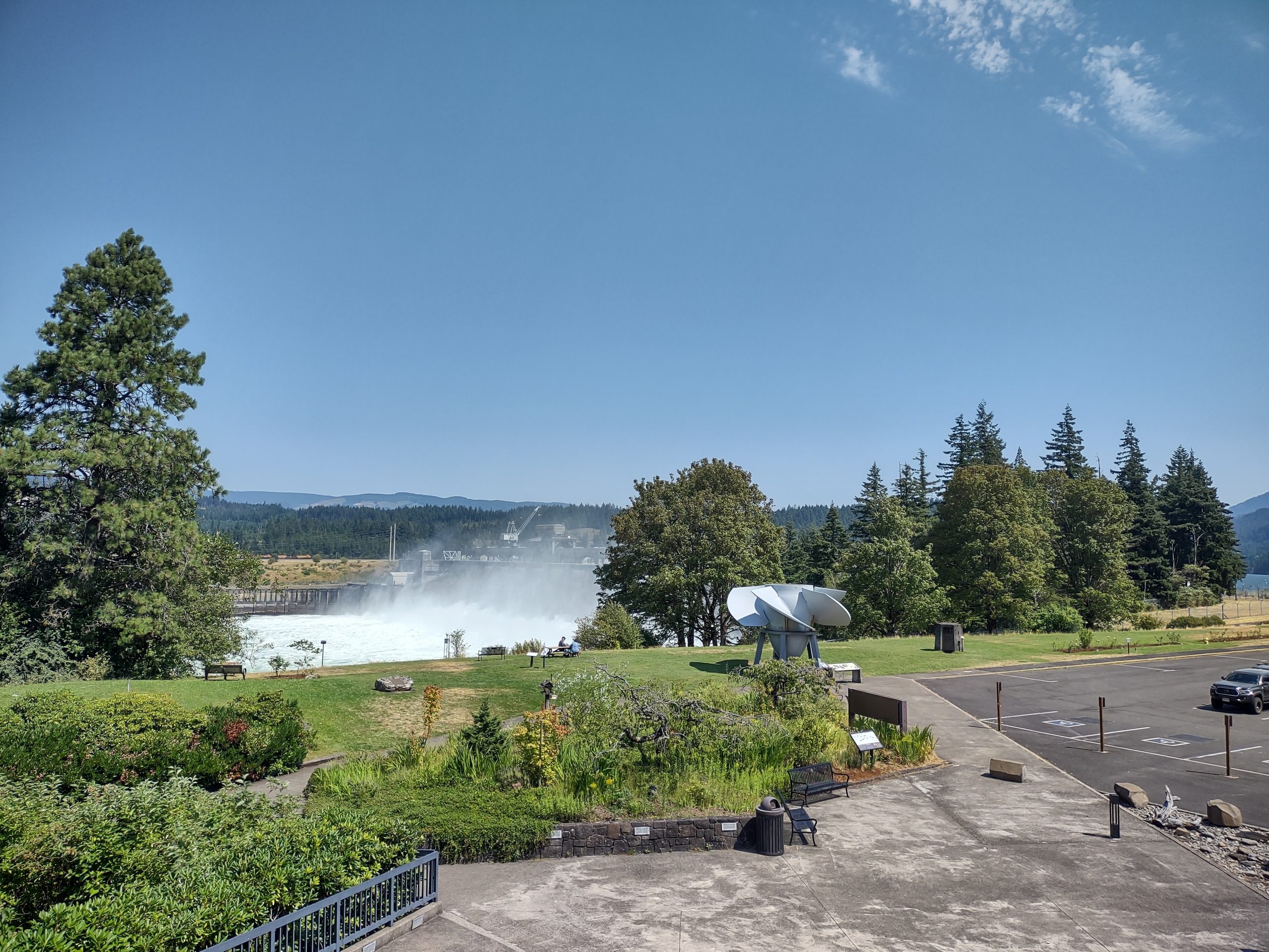
We ascended to the observation area and enjoyed the views. We drove a little way out on one of the islands and took better pictures of the spillway dam.

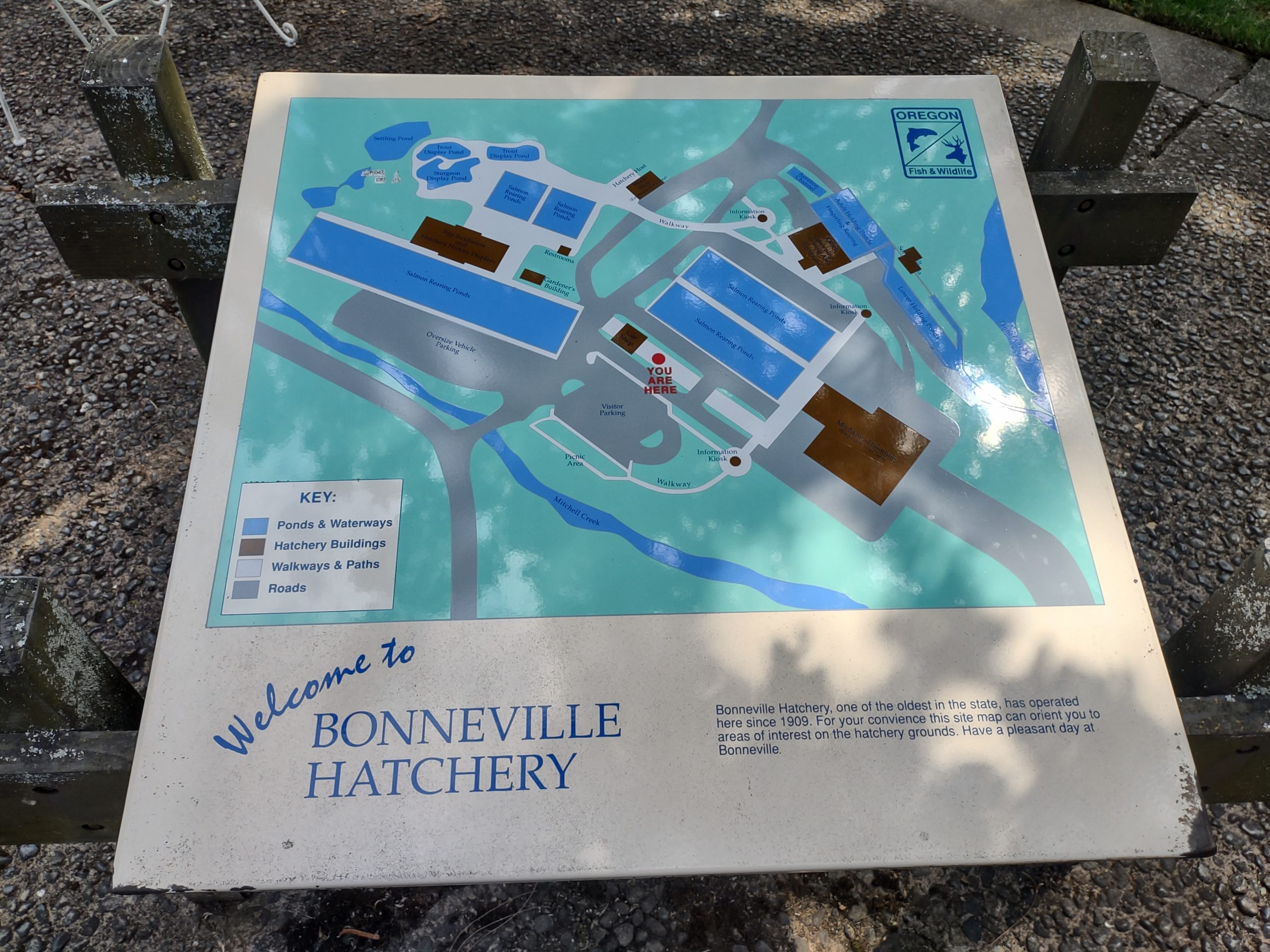
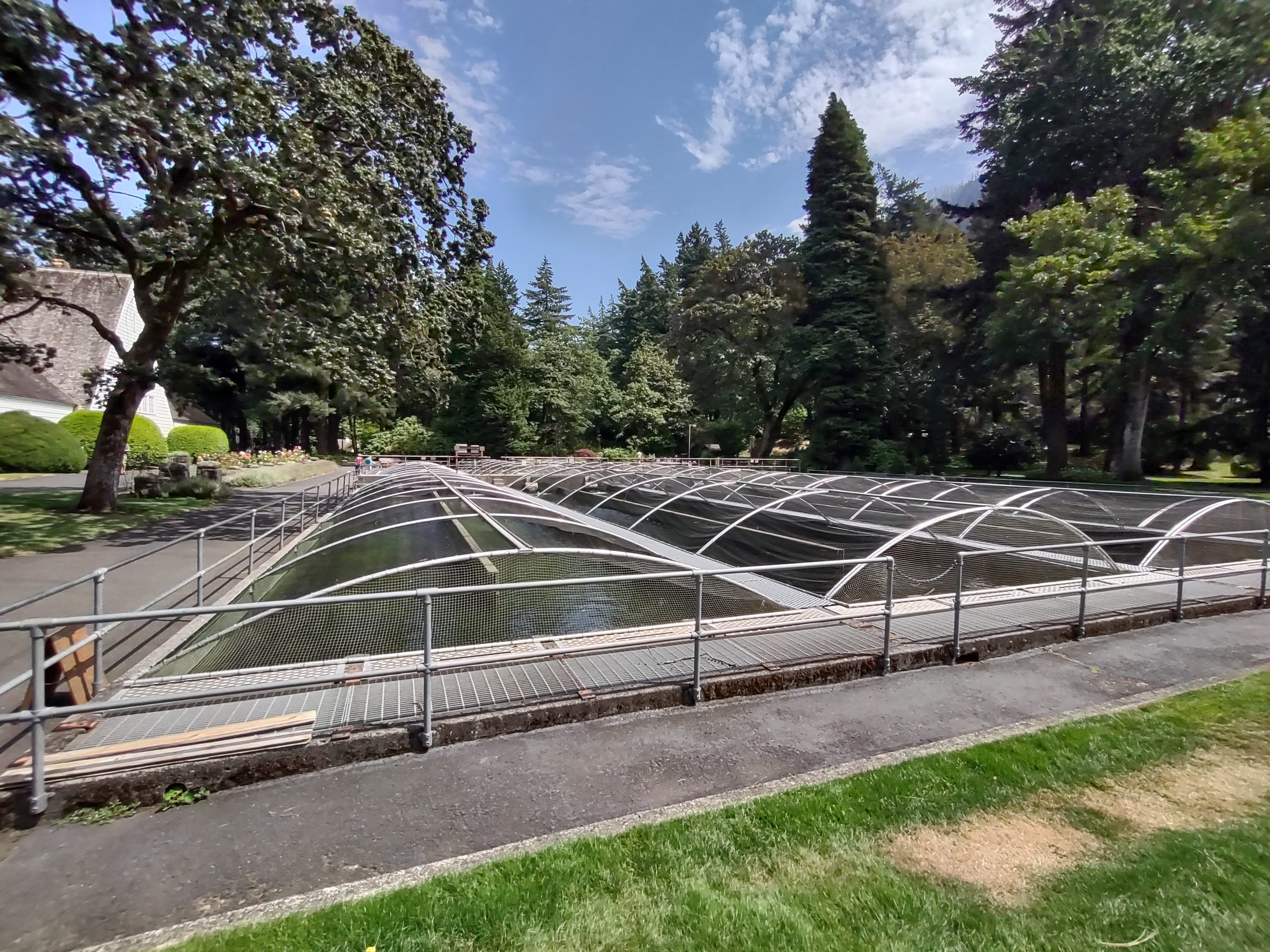
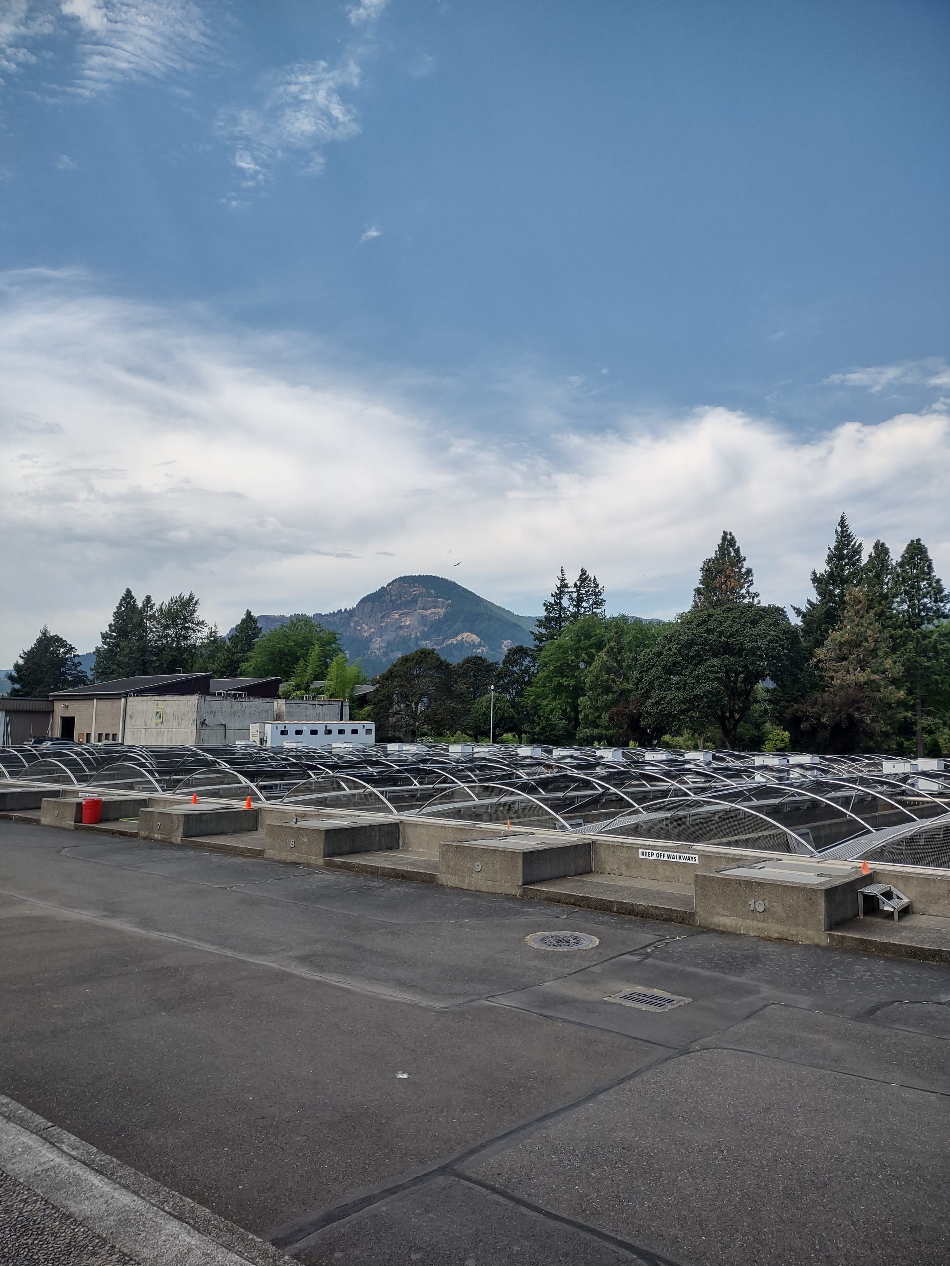
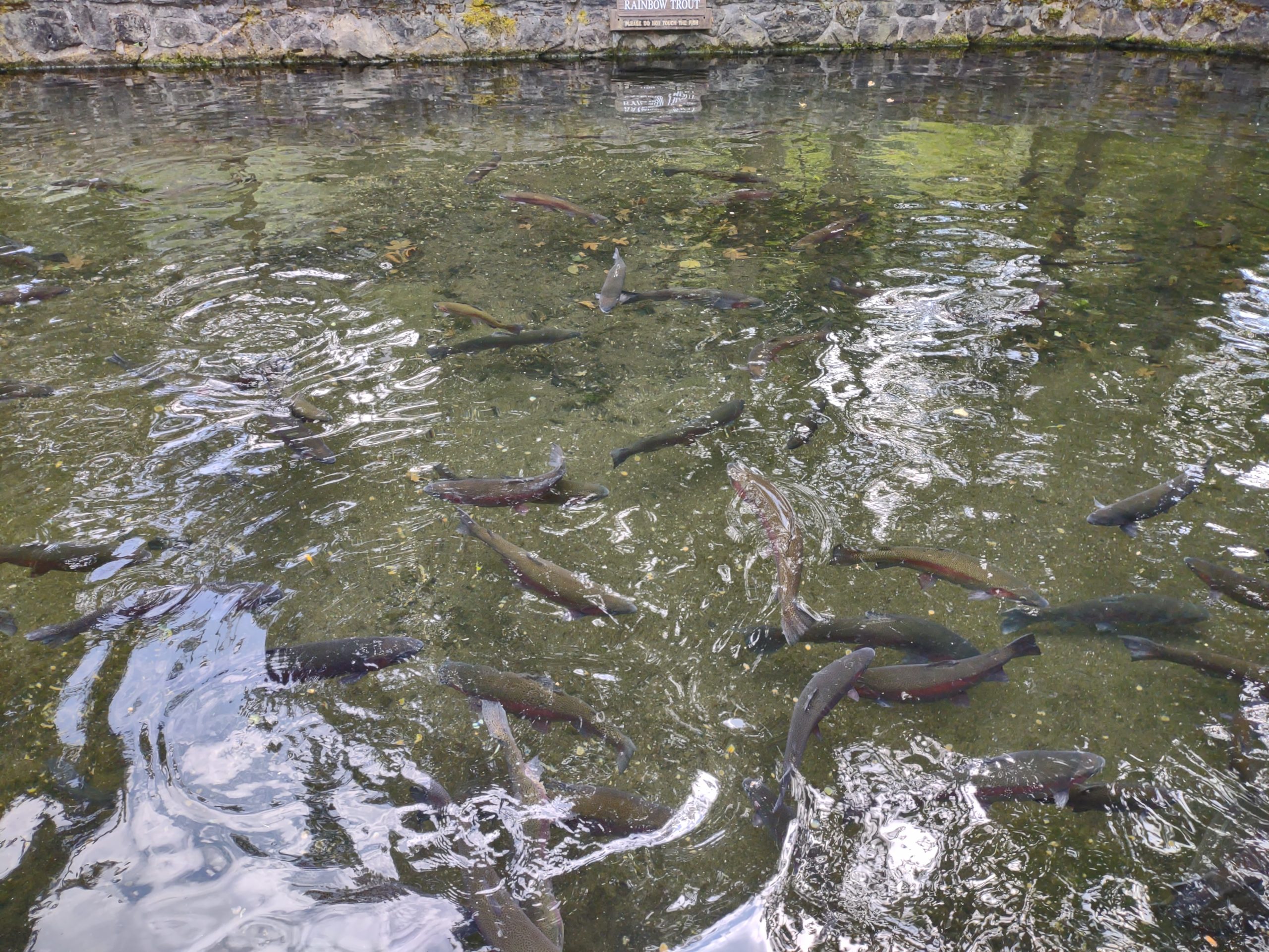
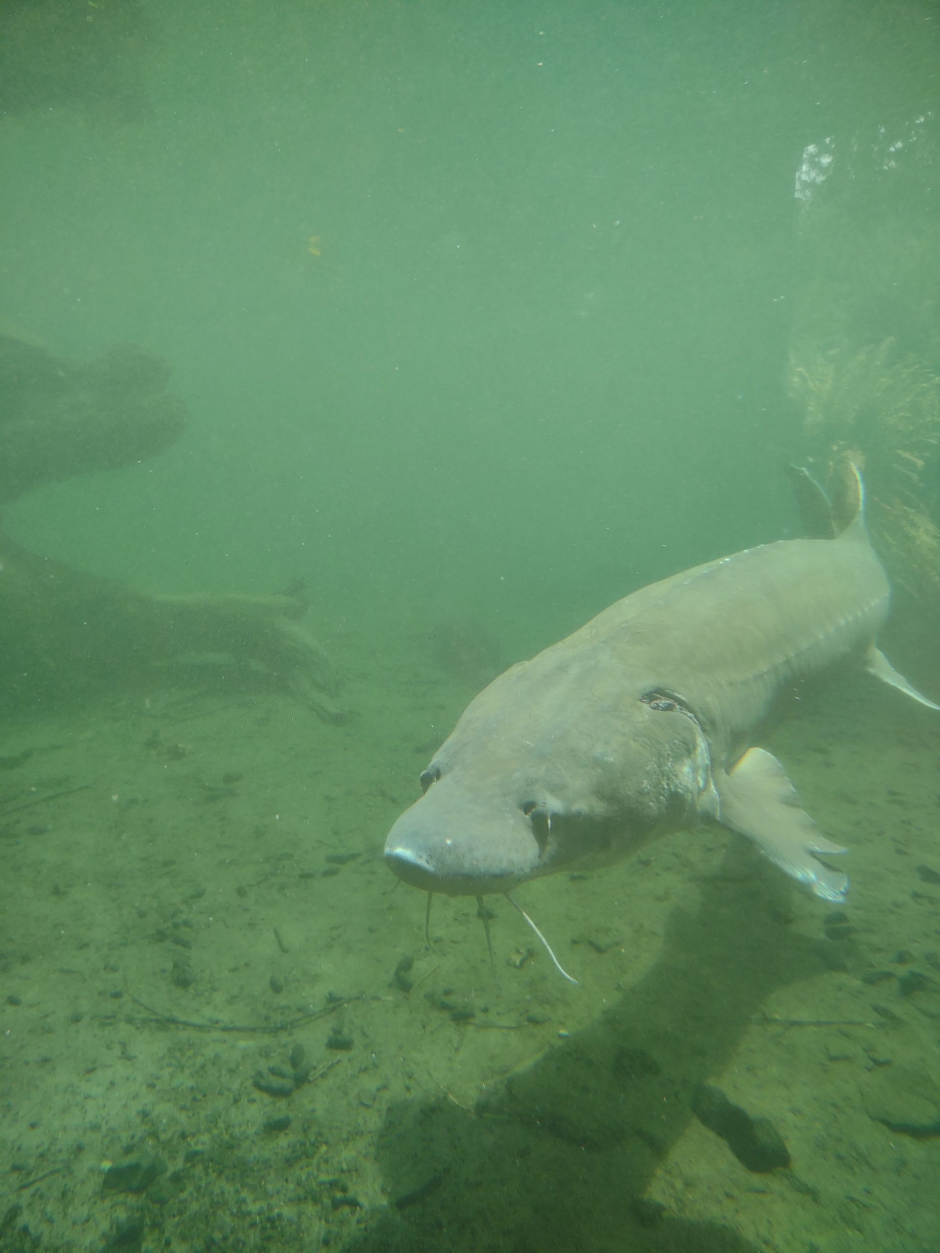
From there we drove to the fish hatchery, used to replace fish that would have been born in the areas that the dam displaces. We saw fingerling salmon in some ponds, big rainbow trout in a viewing area and white sturgeon up to six feet long in another viewing area. The hatchery areas where small fish are raised are covered by netting to prevent bird from eating all the fish!
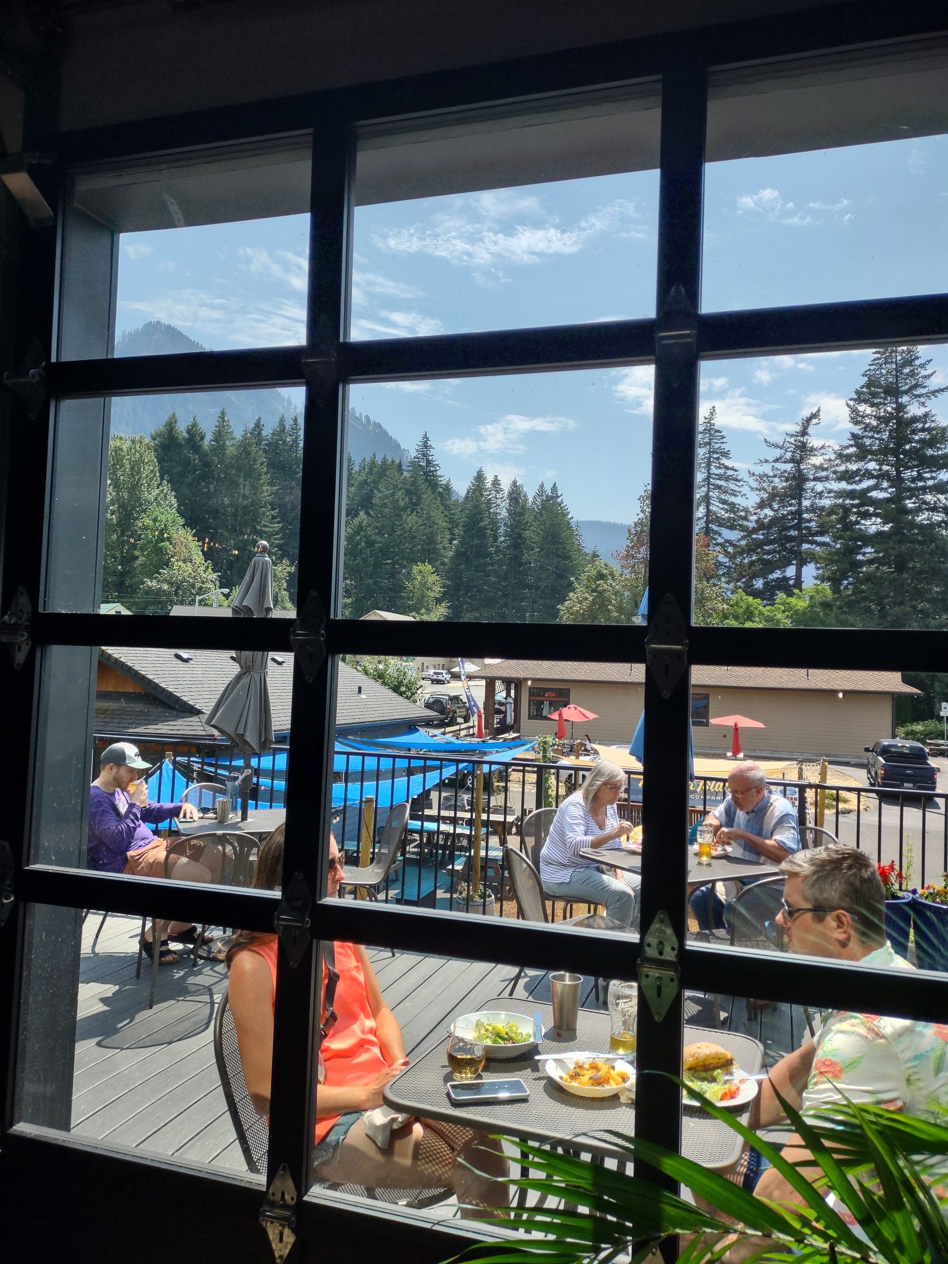
Having seen enough, we drove back to Cascade Locks and had lunch at the Thunder Island brewing company. Nice salmon rice bowl and blackened chicken sandwich, accompanied by the Thunder Island juicy and 140 IPAs.
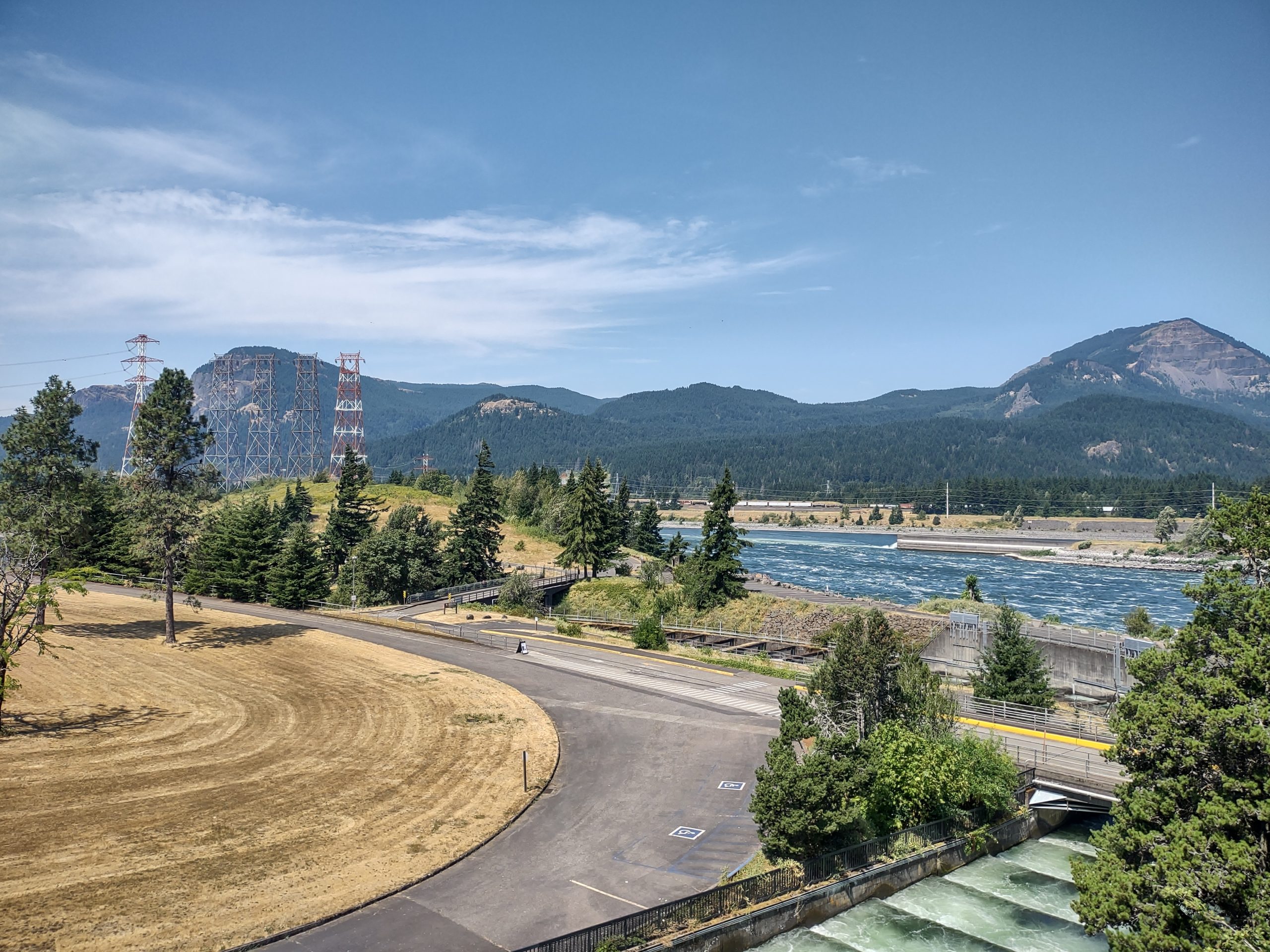
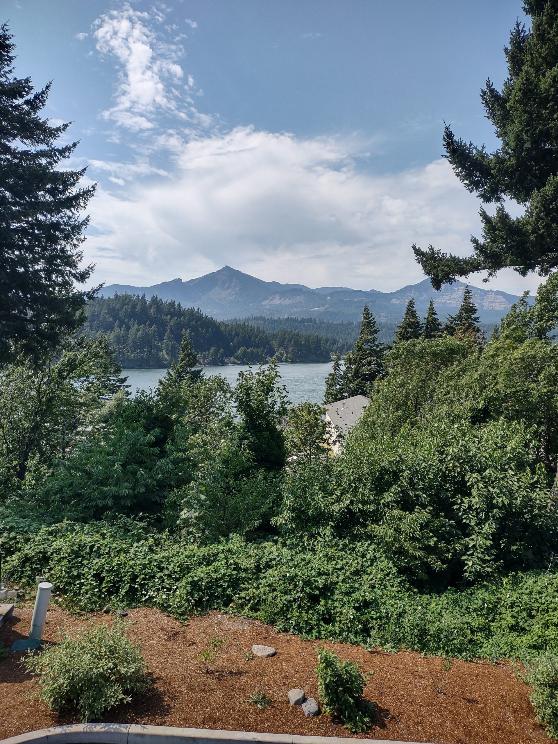
Both the Bonneville Dam and the Thunder Island place give views of Table Mountain (Washington side of the river). Sometime in about the 1500s, one whole face of the mountain fell into the river, creating some of the land mass around the Bonneville Dam and coincidentally named the Bonneville Slide. One wonders when the next huge slide will happen. We don’t want to be there when it does!

Back to The Dalles, where we bought corn and peaches at Evans fruit stand. Having had a huge late lunch, we supped simply on peaches and caprese salad.
Sorosis park and The Dalles dam
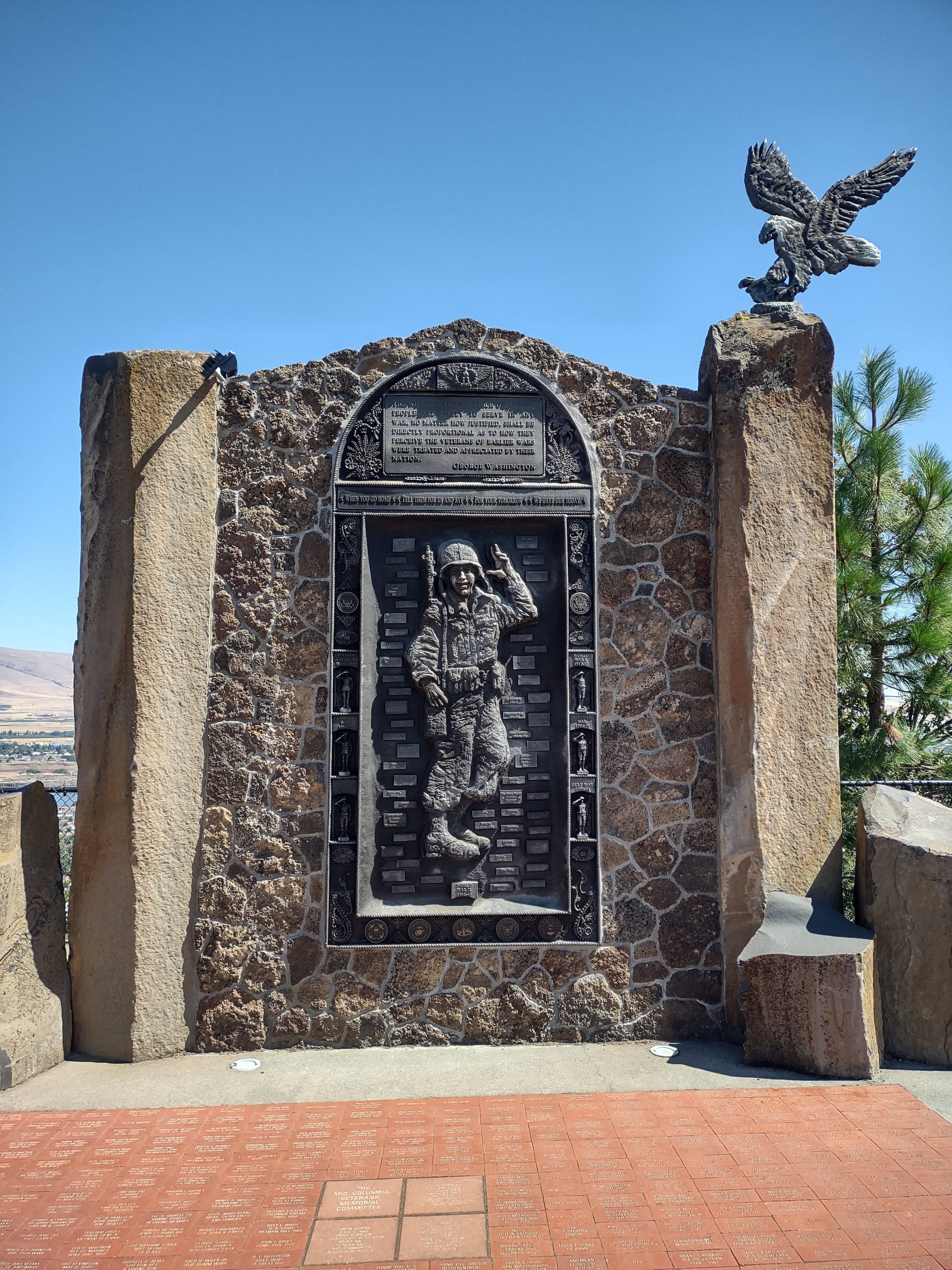
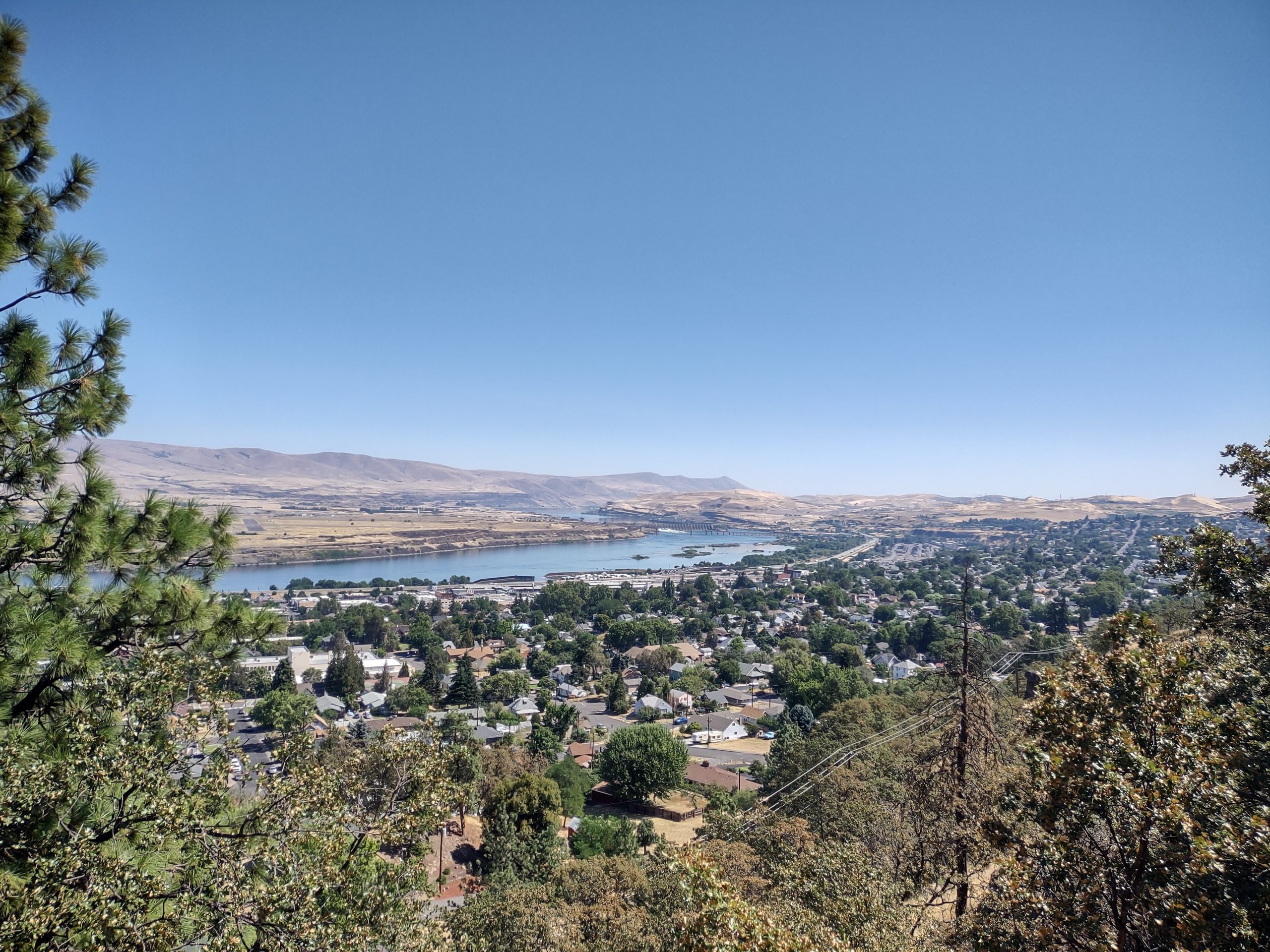
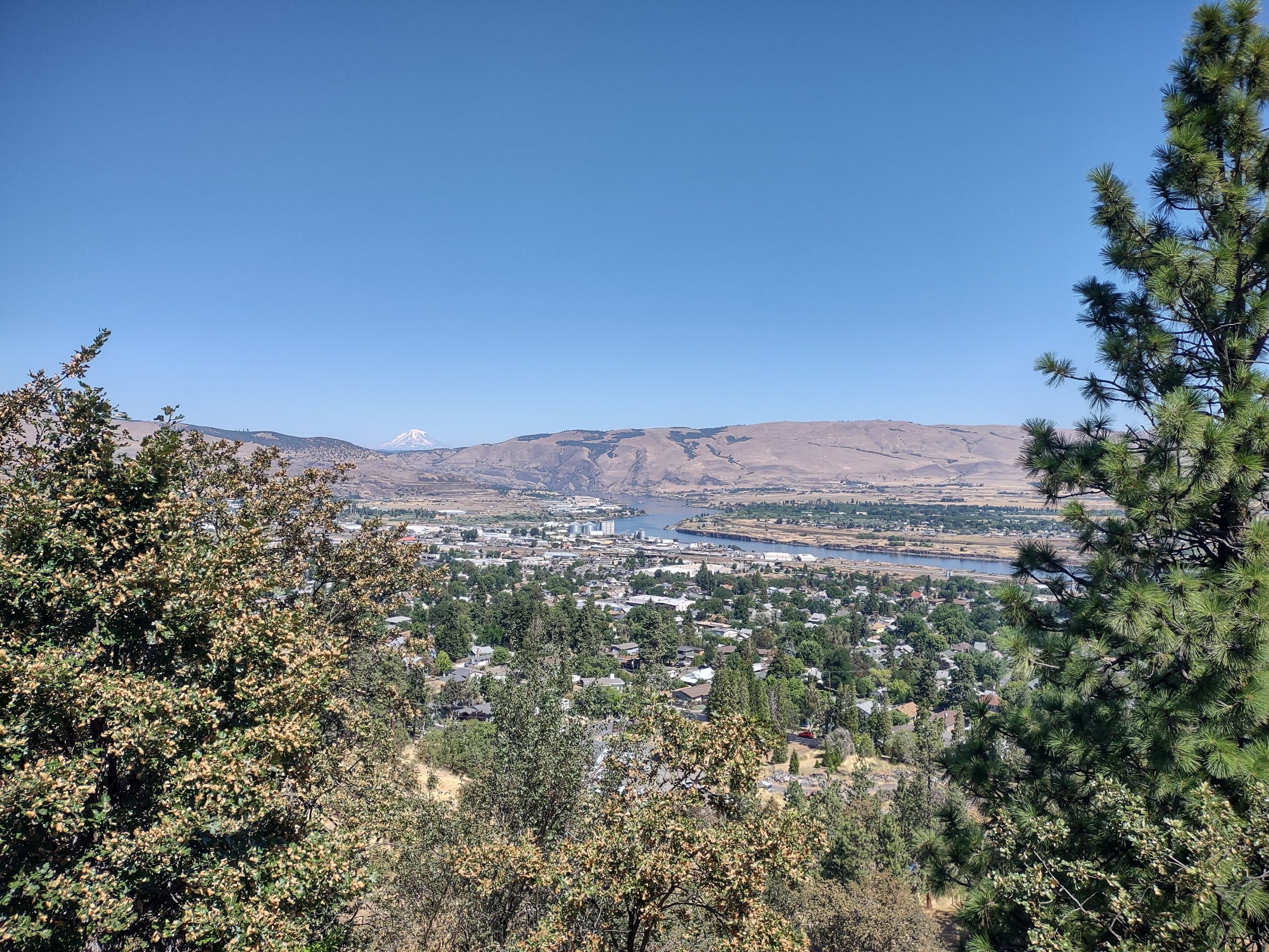
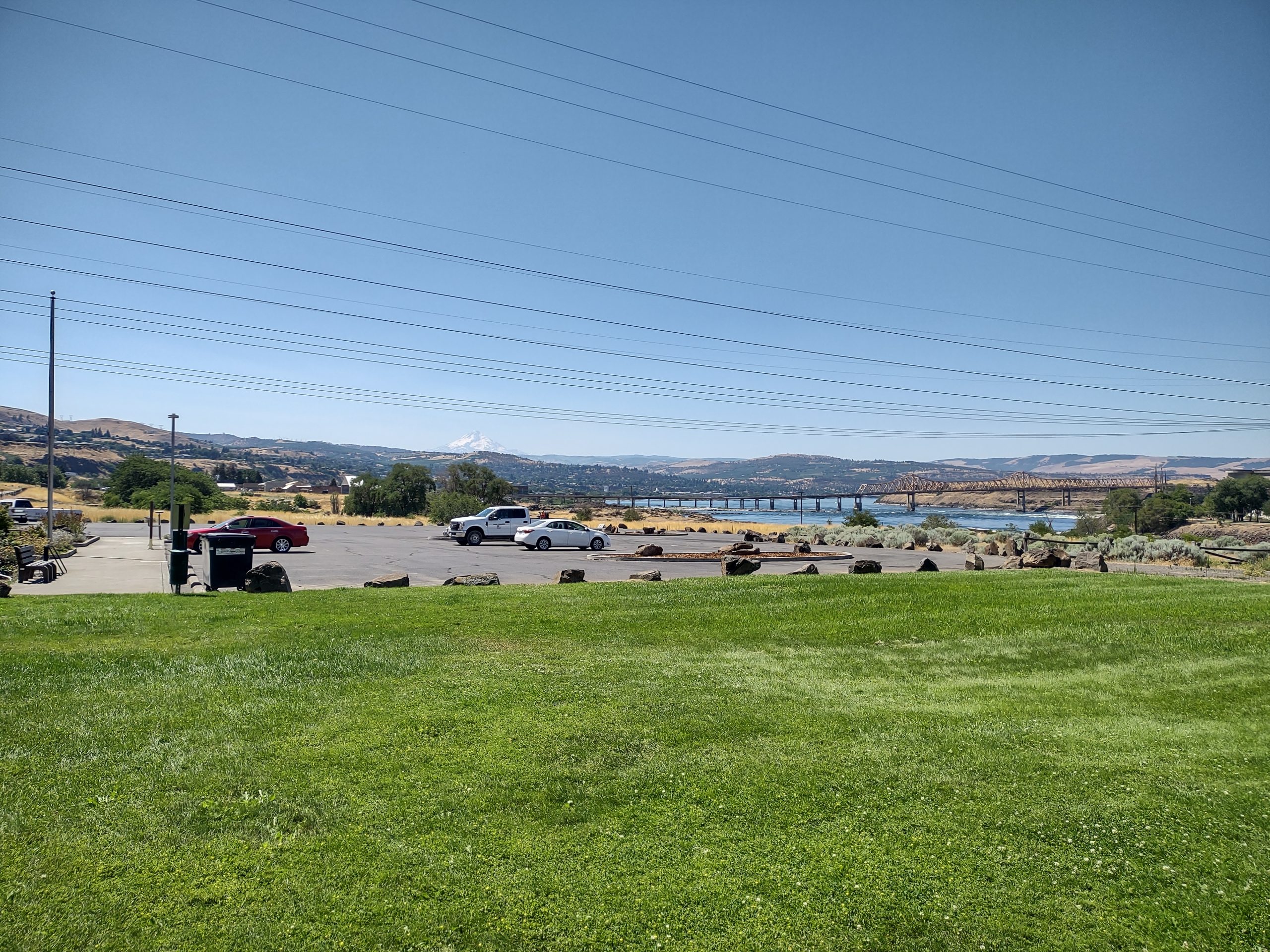
Woke in a leisurely fashion on Sunday and decided to find Sorosis park. Not the liver disease; the park was formed by an early women’s club, the Soroptimist Sisters. It’s at the top of The Dalles, looking over the river and Dallesport on the Washington side. We drove up and up, finally getting there. We walked around the park loop and looked at the veterans memorials at the rim. Several people were walking dogs and playing disc golf. Quiet and sunny. The river side had views of Mount Adams, and the south side was near orchards with a view of Mt. Hood.

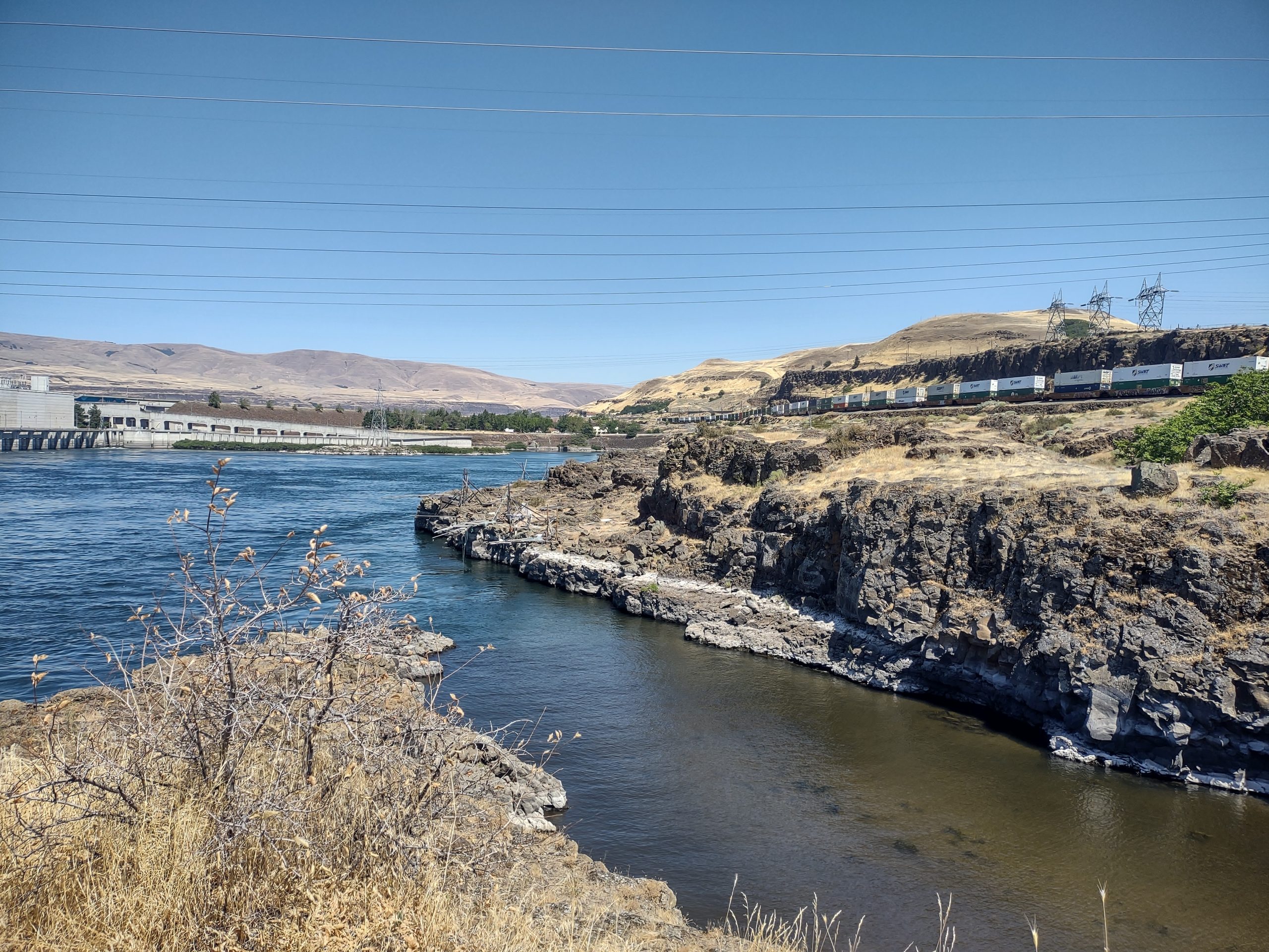
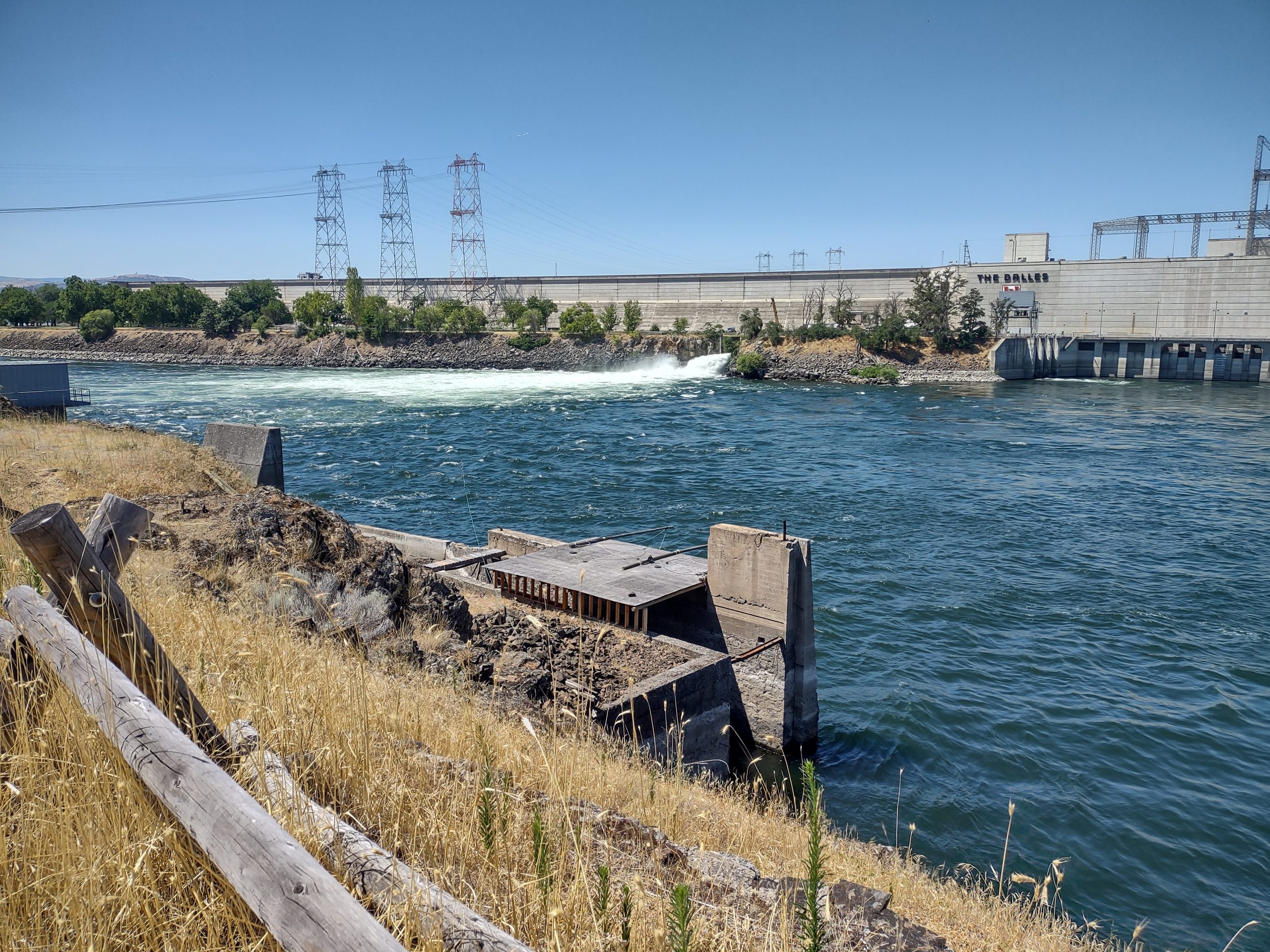
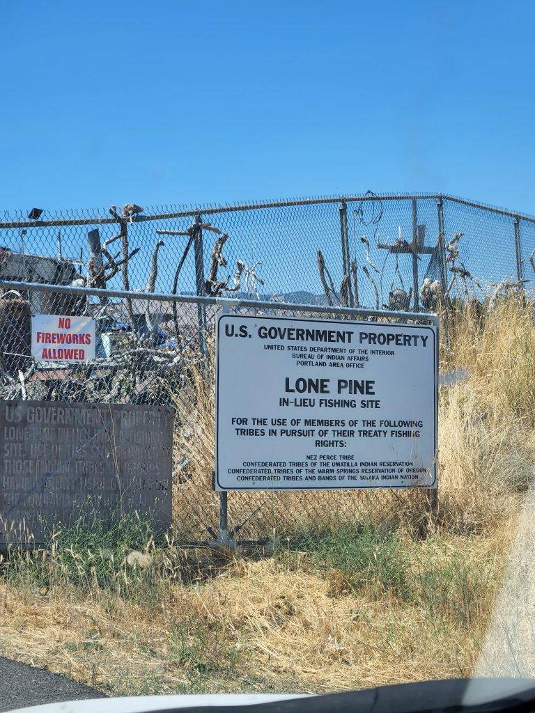
After coming down, we found Evans fruit stand, recommended by friends. Closed on Sunday, so we made a note to come back tomorrow. We went over to the hydro power dam at The Dalles. The visitor center was interesting, but there was no access to the dam itself. We walked down to the riverside, noting the fish ladder and fishing platforms. Native Americans retain fishing rights on the river in lieu of their traditional fishing lands that have been covered by the lake created by the dam.

Driving away from the dam, we went down to what we thought at first was an old RV park. Turns out it was one of those Native American in-lieu fishing encampments.
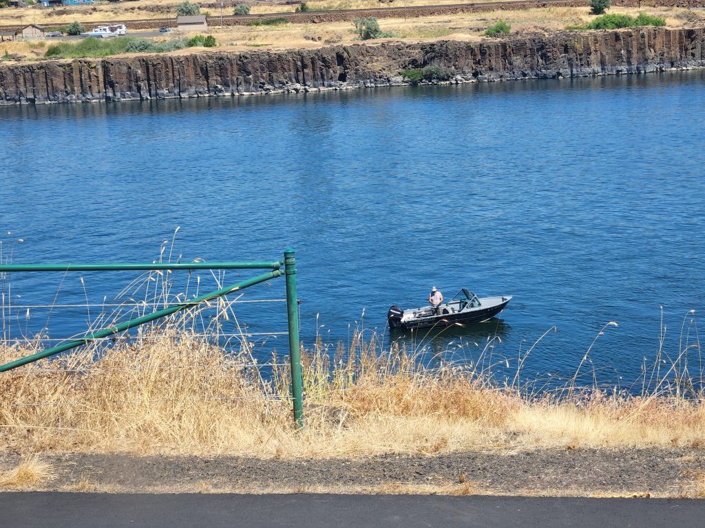
Time was right, so we went to the Bargeway Pub for lunch. Great calamari and the usual excellent fish tacos. There were brown chinned hummingbirds fighting over the flowers next to the pub window. On the river, a guy was fishing from a boat with a small dog (Pekinese?) and what looked like a Bichon Friese. Every so often, the guy would dip each dog in the river so they could cool off.
Back to camp to relax!
Another winery loop
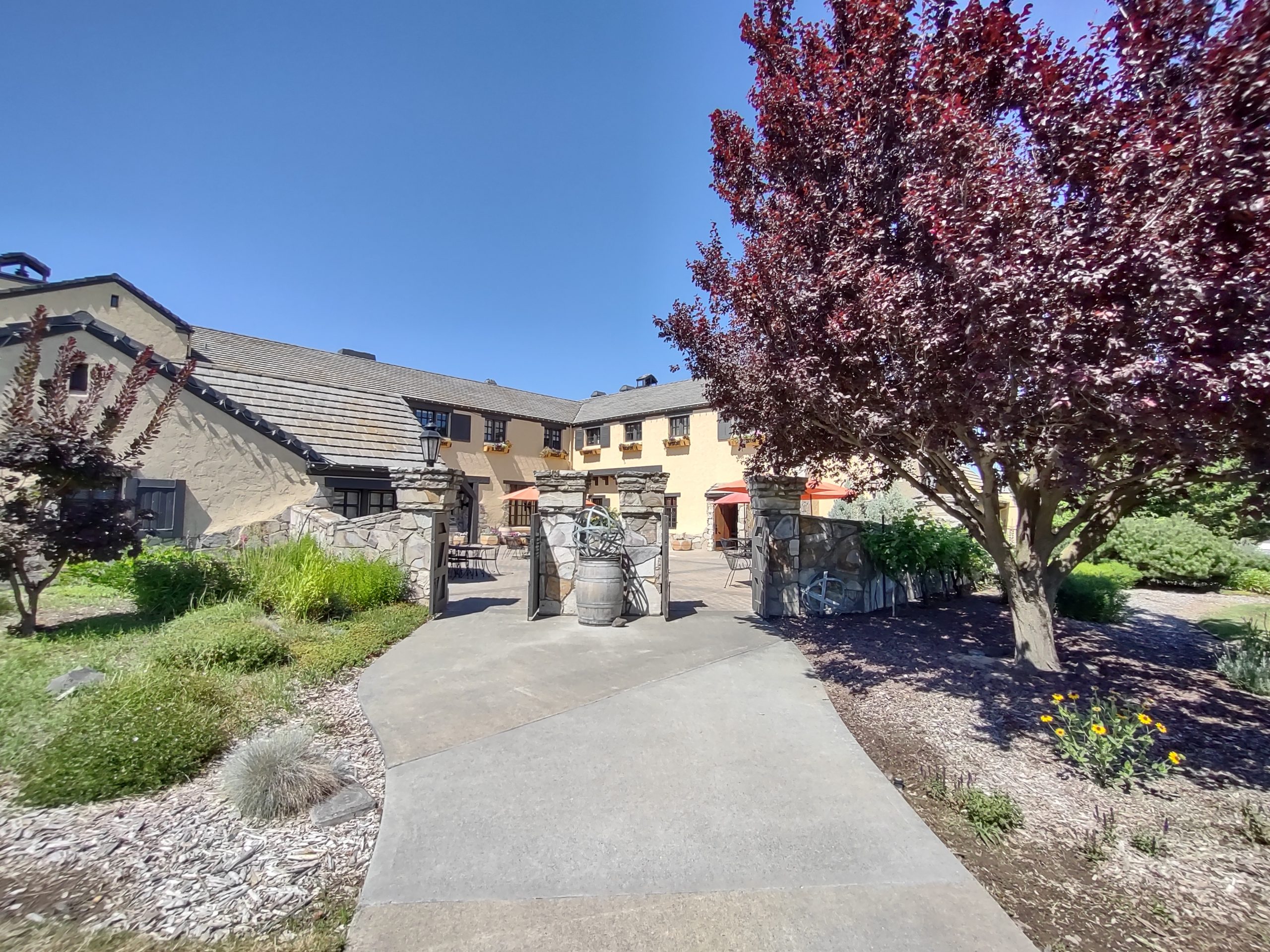
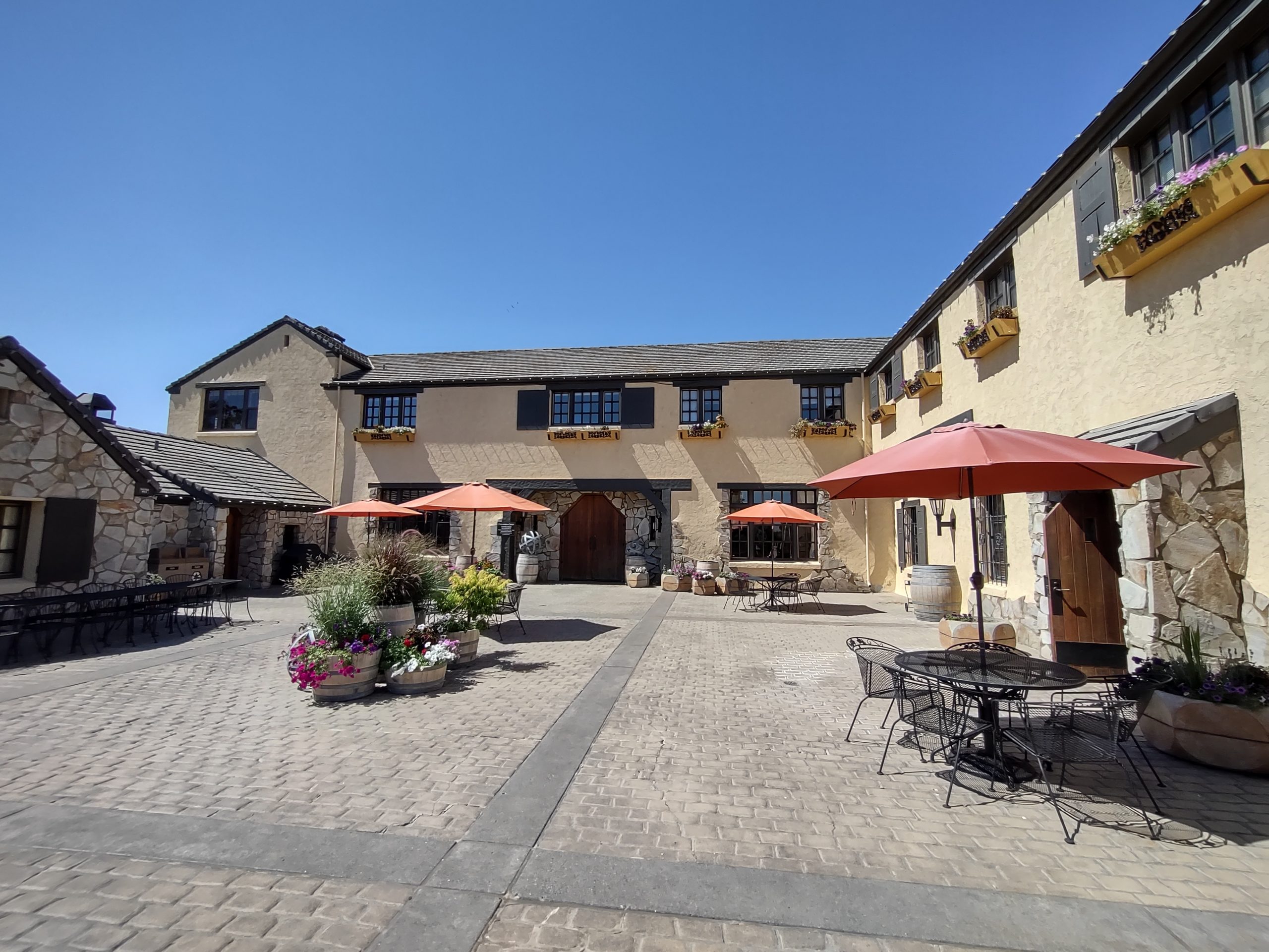
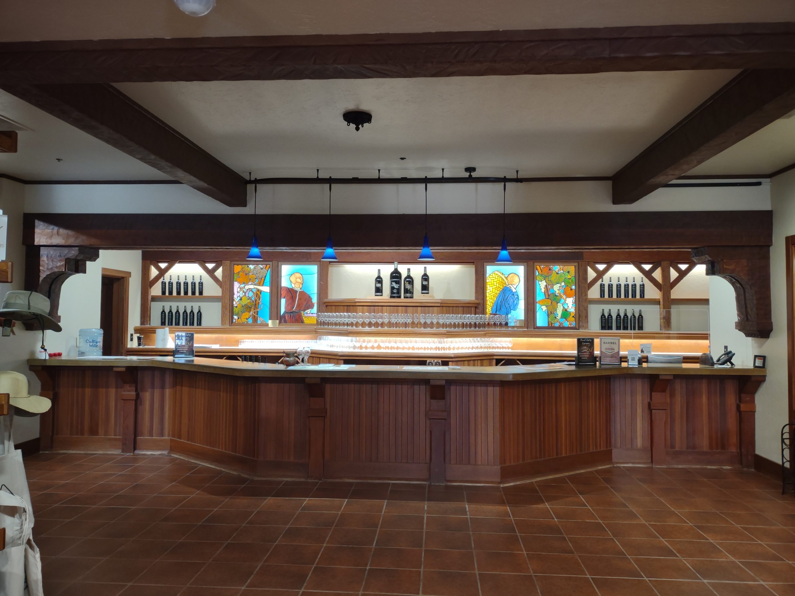
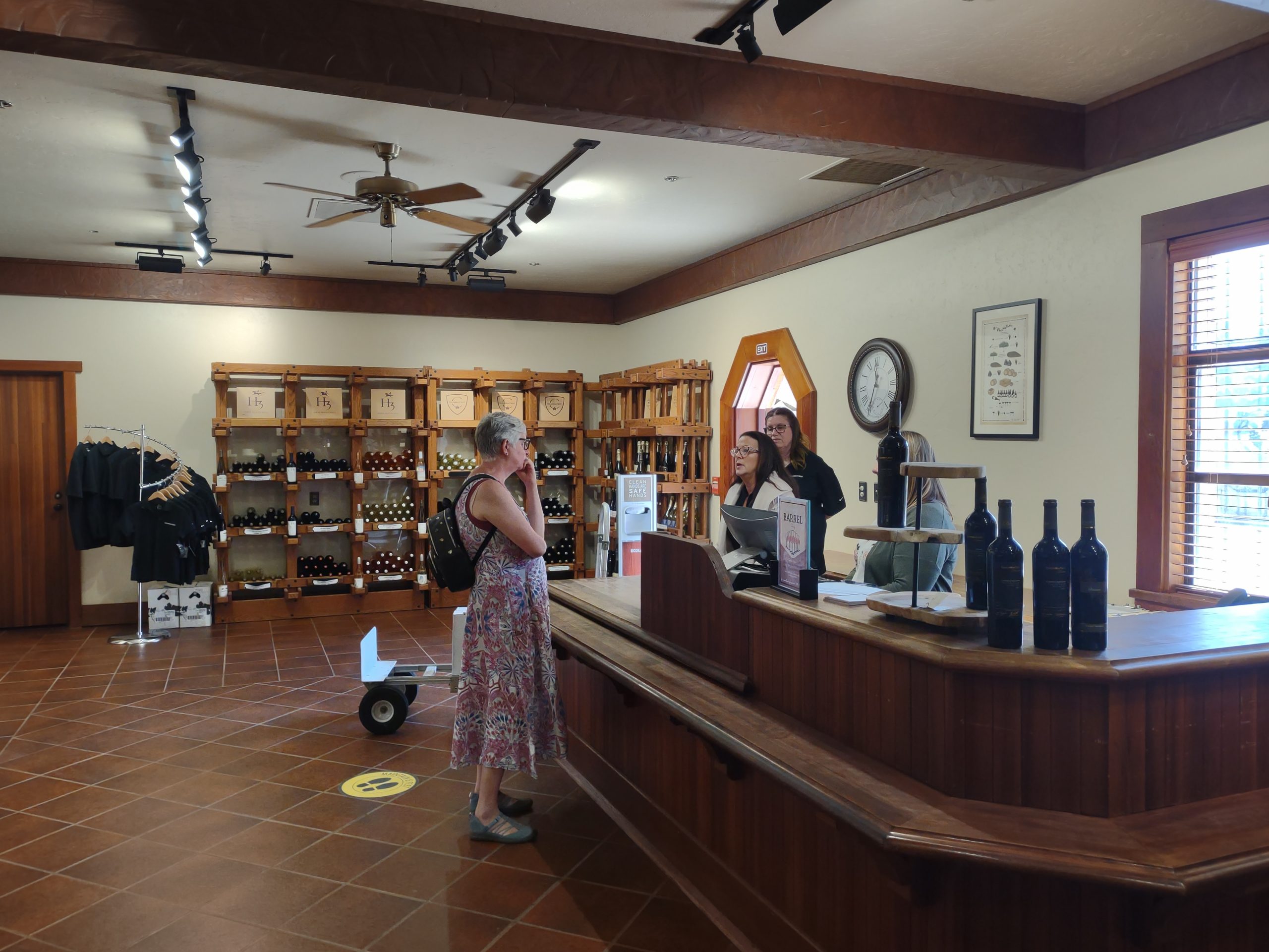
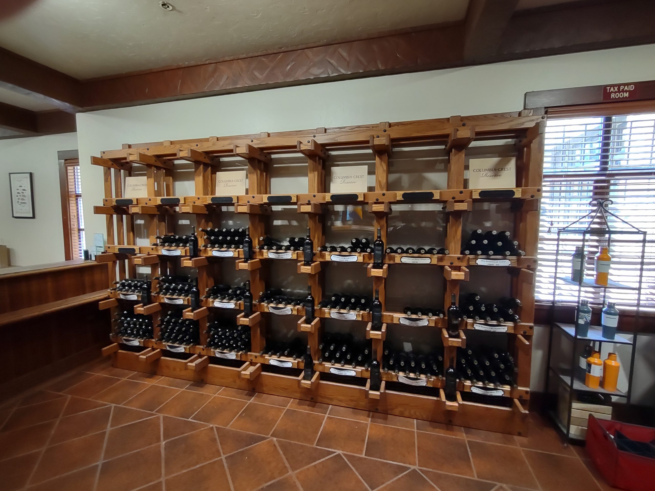
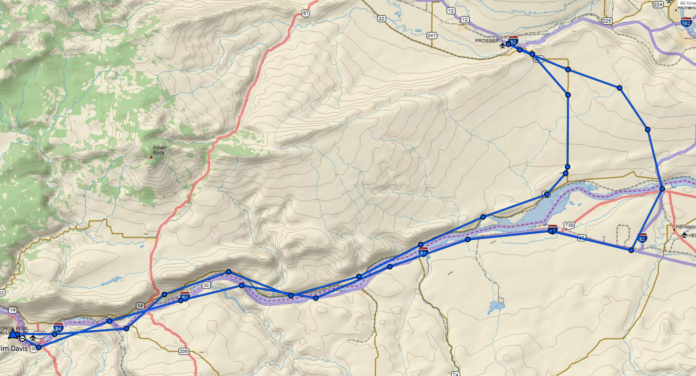
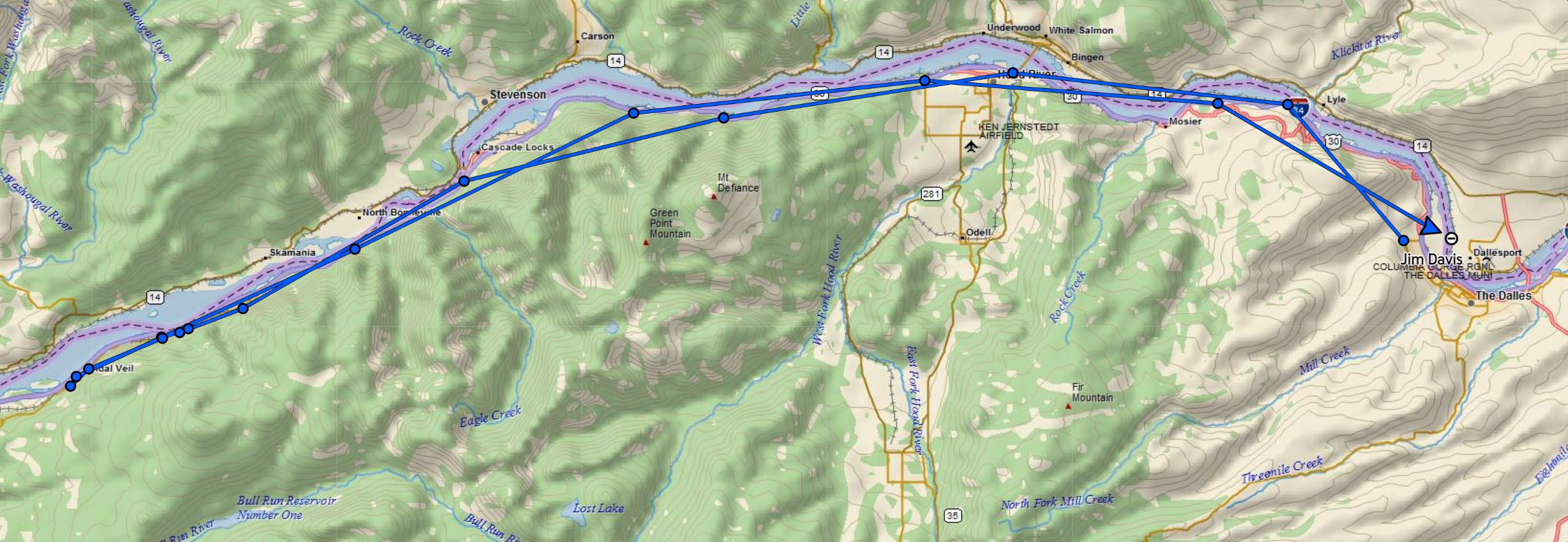
Friends had advised us that the Columbia Crest winery was about an hour’s drive east on the Washington side of the river, so Jim made a reservation to taste at 1pm. We went to The Dalles farmers market first, getting fresh lettuce and blueberries, then we headed off. East on I-84 to the US-97 bridge across to Washington, then east on WA-14 about 68 more miles. Since we left early, we arrived 90 minutes before our reservation. However, they had no other tasters, so they accommodated our early arrival. The Columbia Crest marque is owned by Chateau Ste. Michelle, which also owns Horse Heaven Hills, Bourne of Fire and a few others. They grow and buy a lot of grapes! On the east coast, we see only their mass market wines. The cellar lets one sample their reserve expressions. We tasted four wines and bought some of the Brut champagne and Petit Verdot.
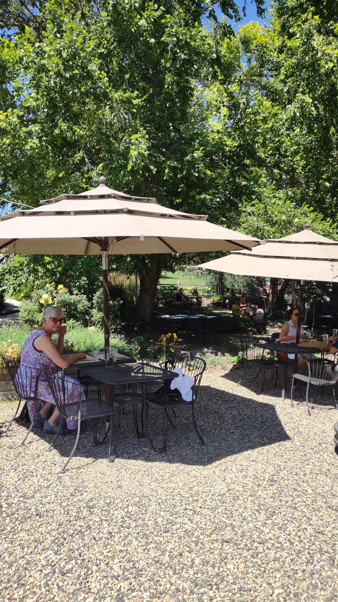
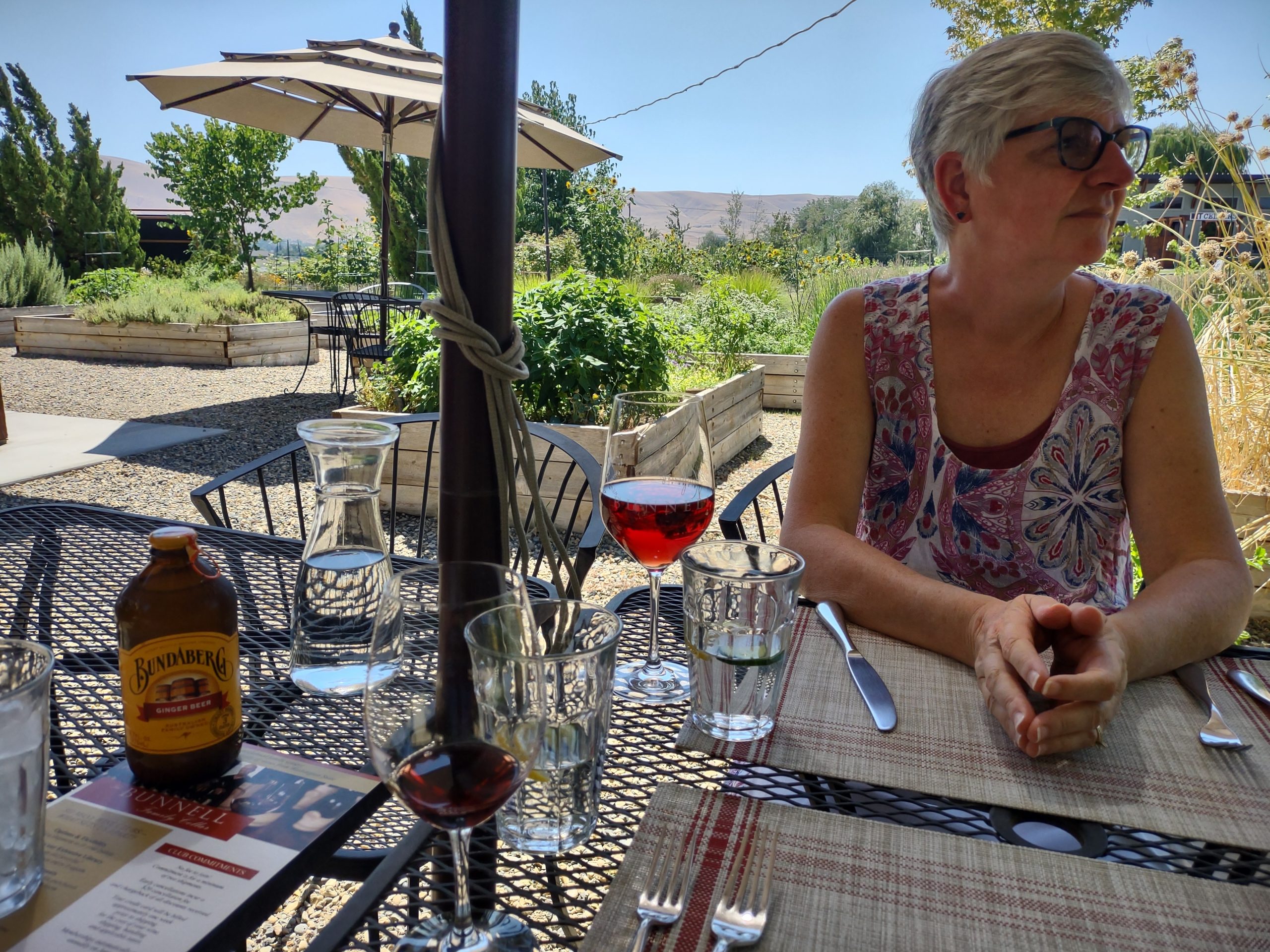
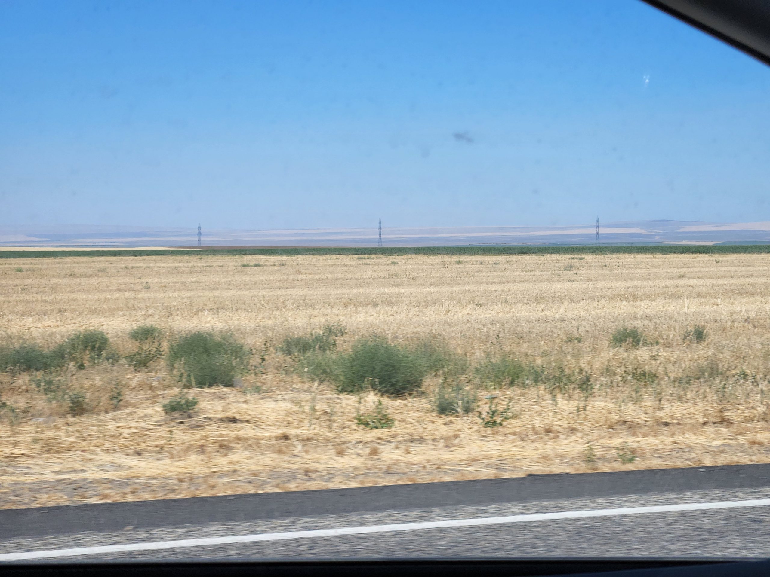
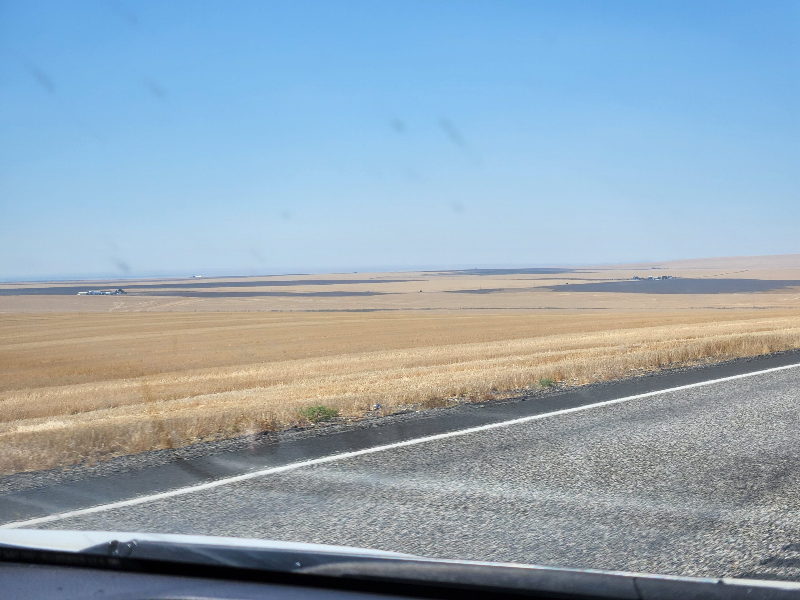
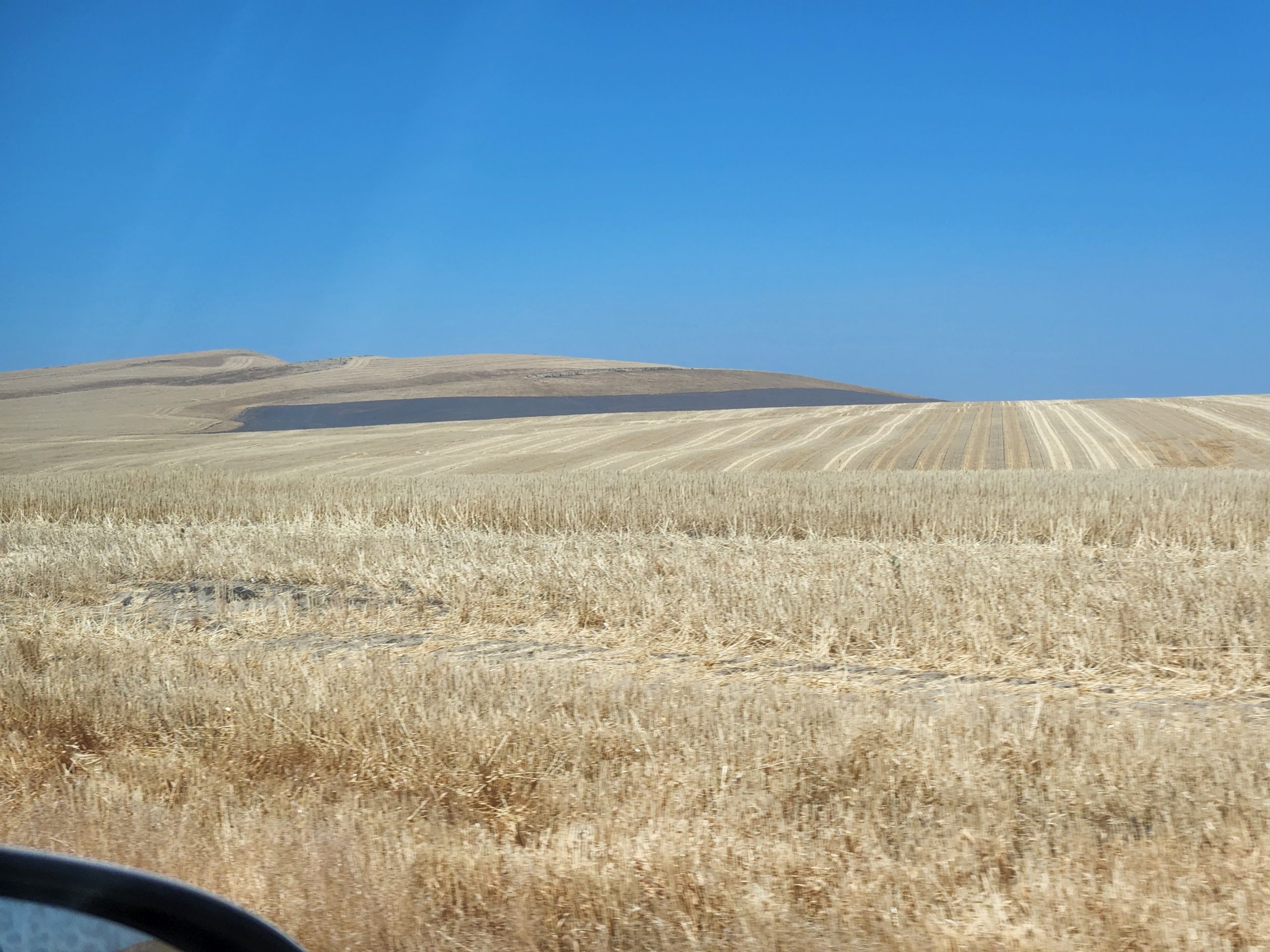
With a recommendation in hand, we proceeded to Prosser WA to find lunch. The road goes through huge wheat fields, areas as large as 10×10 miles square. The harvest is going on right now, so we saw some huge field equipment. At Prosser, we ate lunch at “Wine o’clock” at the Bunnell Family Cellar. I had a great pizza with tomatillos, Deb had a salad and shared pizza. She had a glass of their rosé, and I had a small taste of Tempranillo (I’m driving, so showed restraint). Bundaberg ginger ale was my main tipple. The food and atmosphere were great, and we walked away with a few bottles of their liquid product.
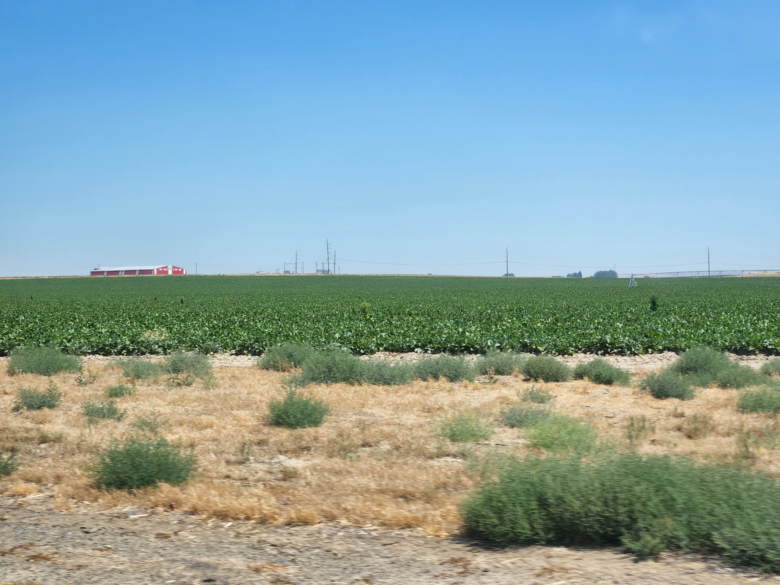
Not wanting to exactly retrace our route, we headed south (back through the huge wheat fields) and east (through even more wheat fields, plus corn), crossing the Columbia River into Oregon at Umatilla. We took I-82 south to I-84 and headed west. Where the two interstates cross, there is the old Umatilla Chemical Depot, where chemical munitions were destroyed before the base was closed. We could see from the highway a great many earthen bunkers where the munitions must have been stored.
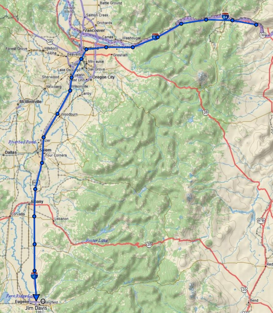
Got home after about seven elapsed hours, mostly spent driving. Here’s the total route from our tracking website, https://share.garmin.com/cfogoose. The site is a little tough to use, but you can filter tracks by date.
Doh! (head slap)
I took the motorcycle out for a ride today, as temperature was in the 80s. Nice local ride, except for one aspect. I forgot both my wallet and phone. Doh!
I needed some control practice, so I found a parking lot with some room and practiced circles at low speed. Lots of left and right turns. This bike rides beautifully, even in the gusty wind we have today.
Waterfalls
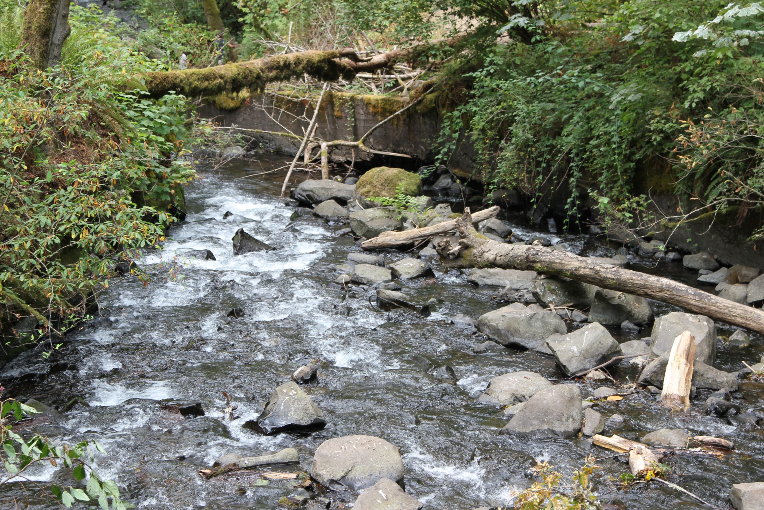
There’s a corridor of waterfalls west of us where creeks fall off Larch Mountain. The most famous is Multnomah Falls, 650 ft high. We got our “timed entry waterfall corridor permit” at recreation.gov and went there this Monday. We arrived at the corridor at 10am and stopped first at Horsetail Falls.


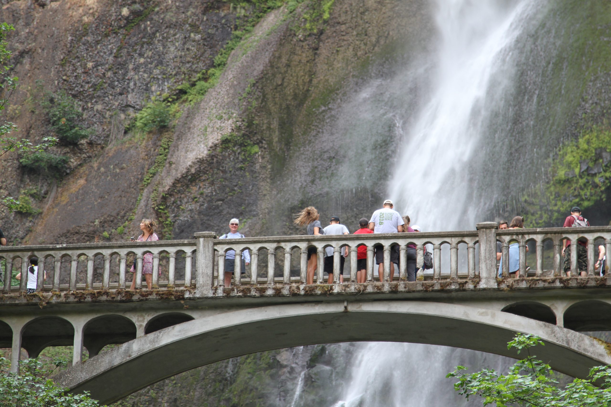
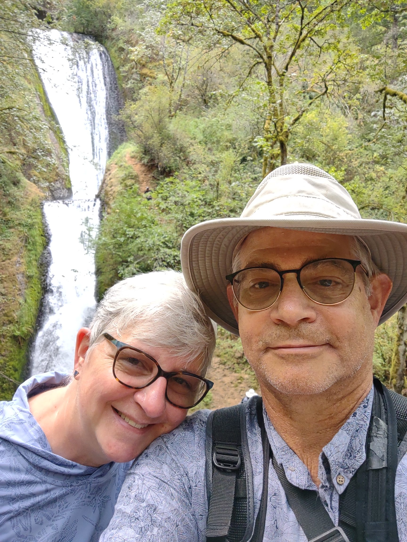
After that, we drove to Multnomah Falls. We had to circle the parking lot several times before a spot opened up — the permit does not guarantee parking! Once parked we walked up to the falls amid hundreds of tour bus tourists. There’s a bridge in front of the falls … Benson Bridge … where everyone tries to take selfies. Deb hiked up to the bridge and I shot a photo from down below. Then I walked up and waded across the bridge/ tourists to get to Debbi.

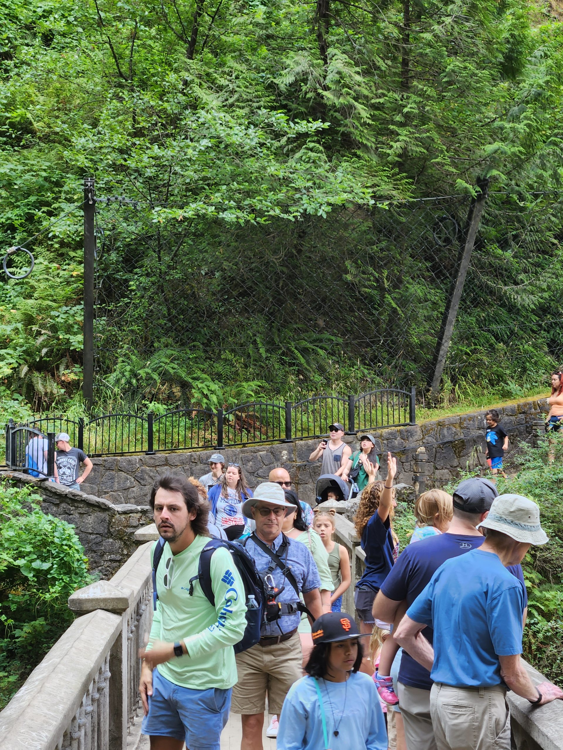
We then tried to hike to the overlook a mile up a skinny trail. Halfway up we heard someone had fallen on the trail and was injured, so we reversed course. When we got to the bottom we saw the rescue squad trundling up the path with an evacuation stretcher on a gas-powered, tracked base. Imagine a small tank with a stretcher instead of a turret.
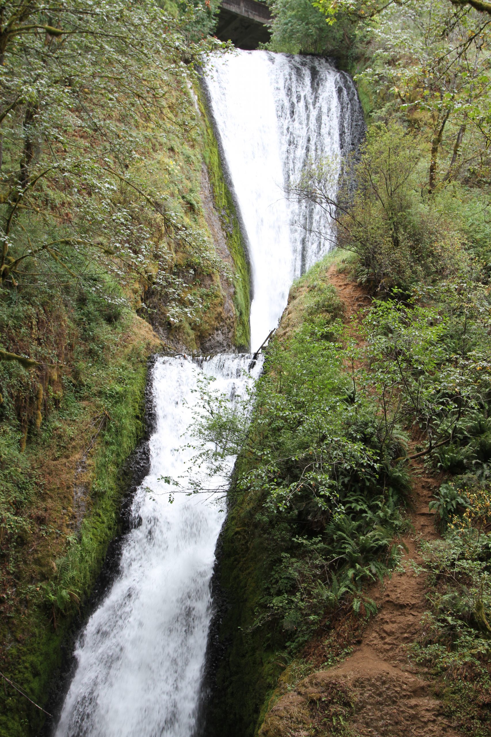
Having spent a couple of hours at Multnomah, we cut the day short by deciding our last waterfall would be Bridal Veil. It’s back a short hike and quite beautiful.
With our calves and thighs aching from the hiking, we drove back to The Dalles for lunch at Clock Tower Ales. Deb had brisket sliders and I had their chicken sandwich. Deb lubricated her dry throat with Beak Breaker IPA, quite a taste of grapefruit. I washed down the sandwich with Tricerahops Double IPA.
So far my favorite beer is the Sunriver Vicious Mosquito IPA. Oregon truly is the home of craft beer. Just look at the number of taps!

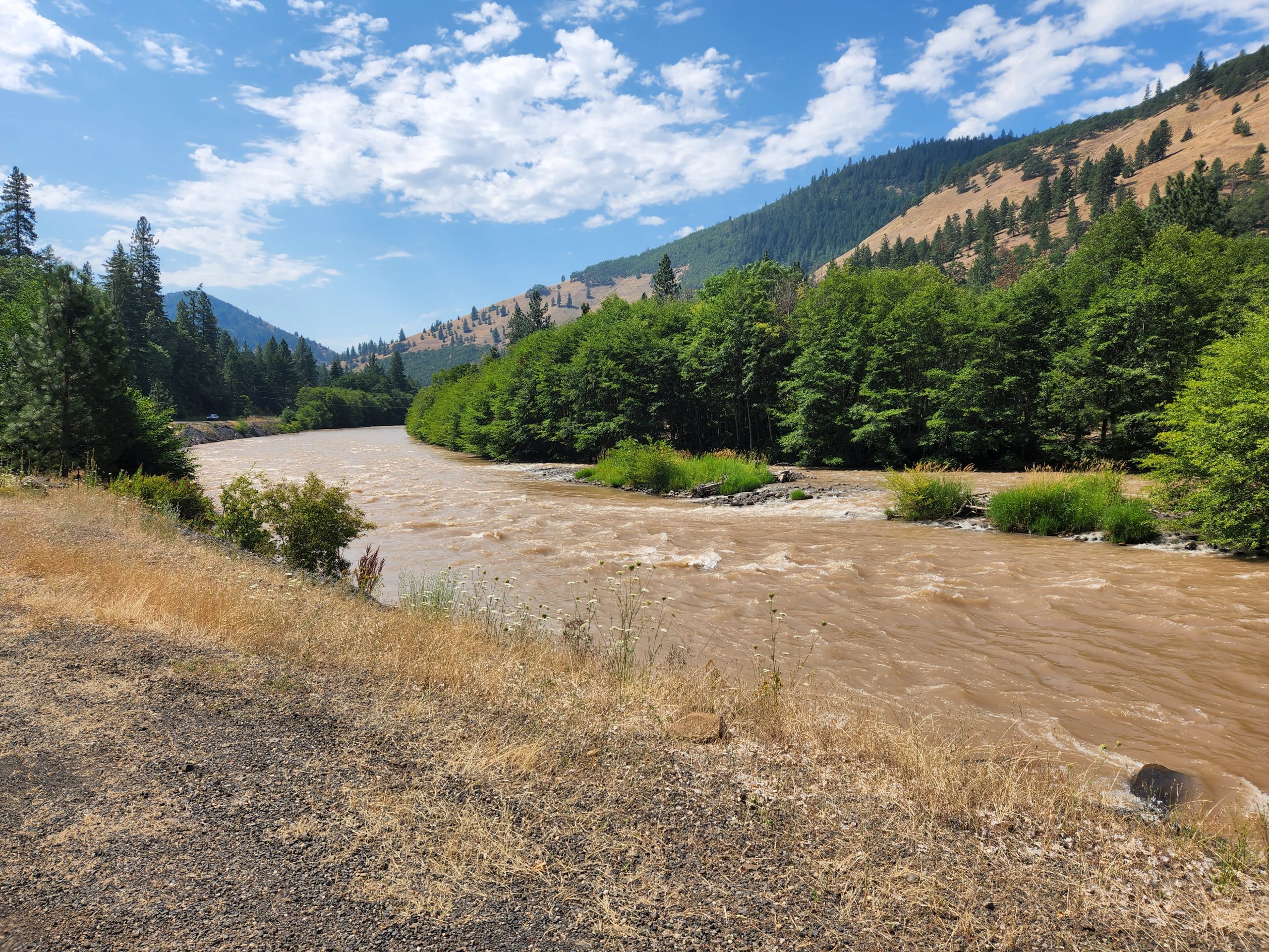
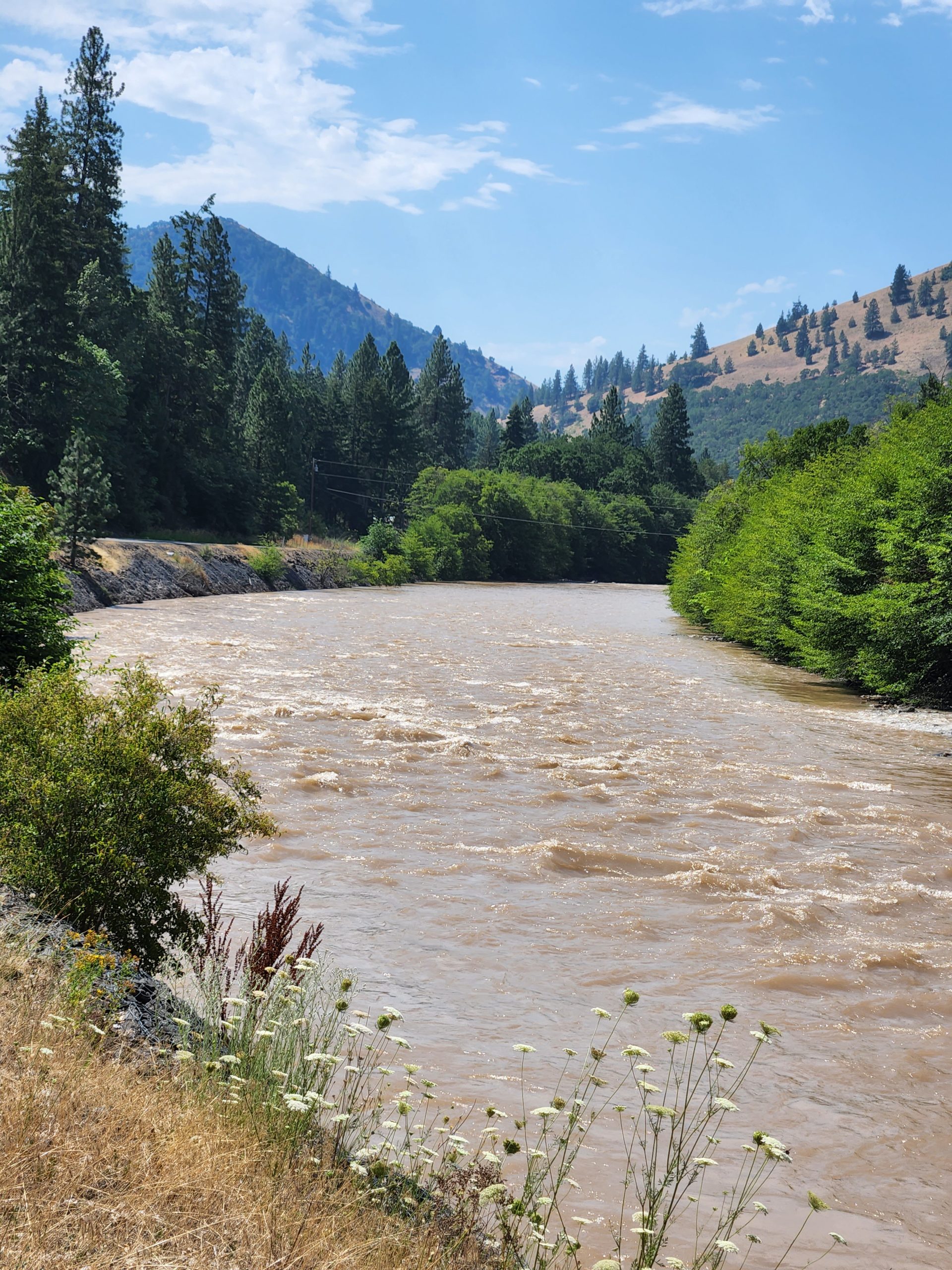
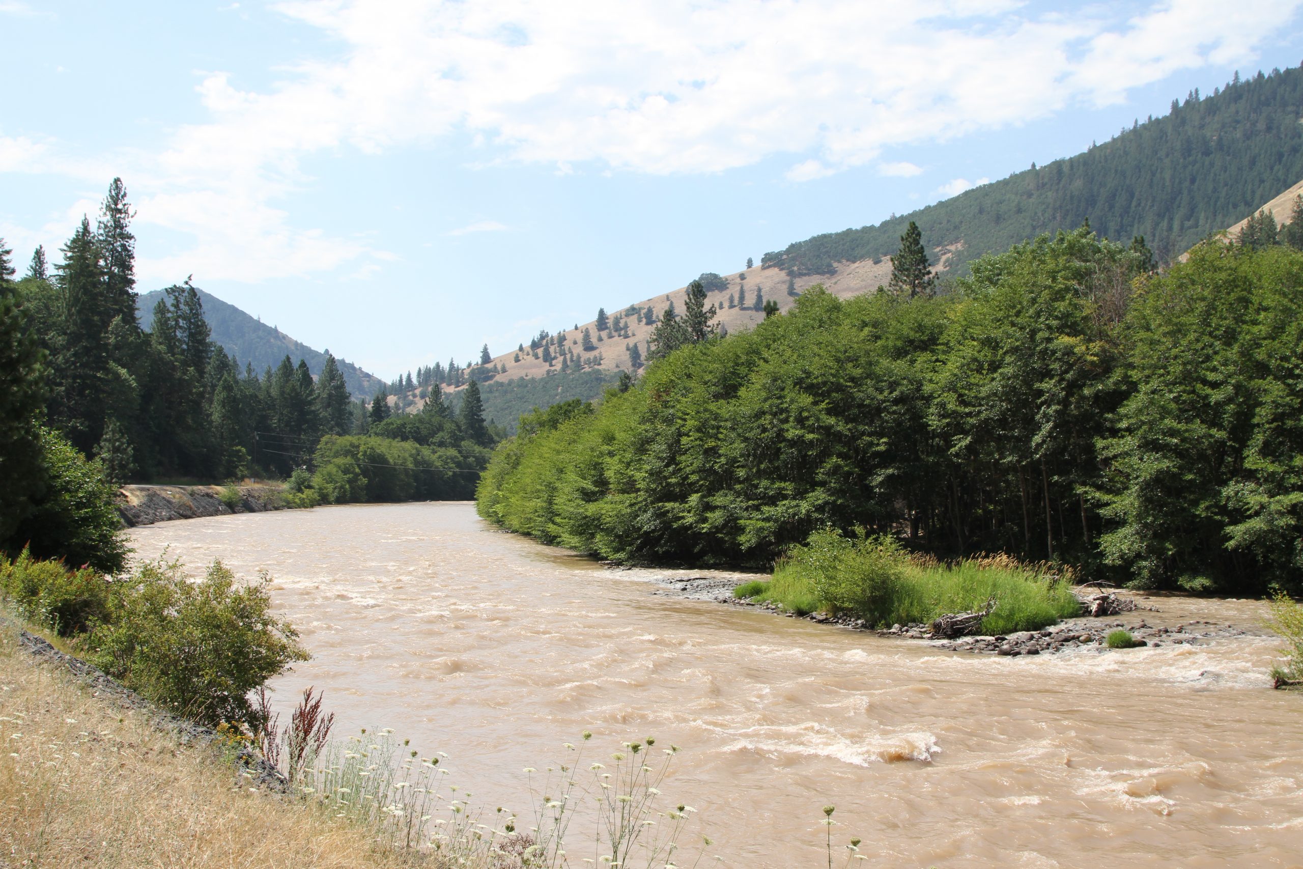
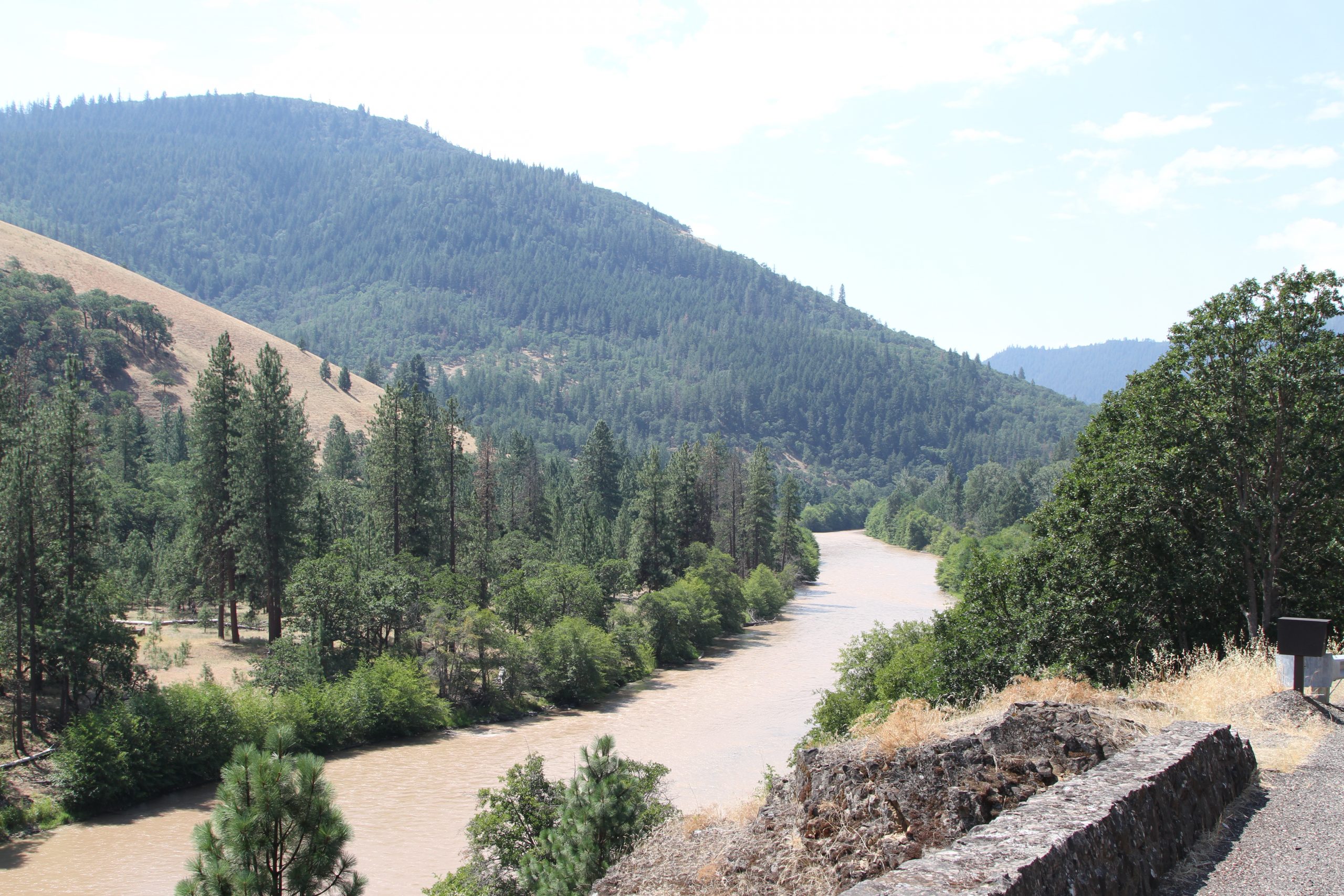
Lyle to Goldendale loop
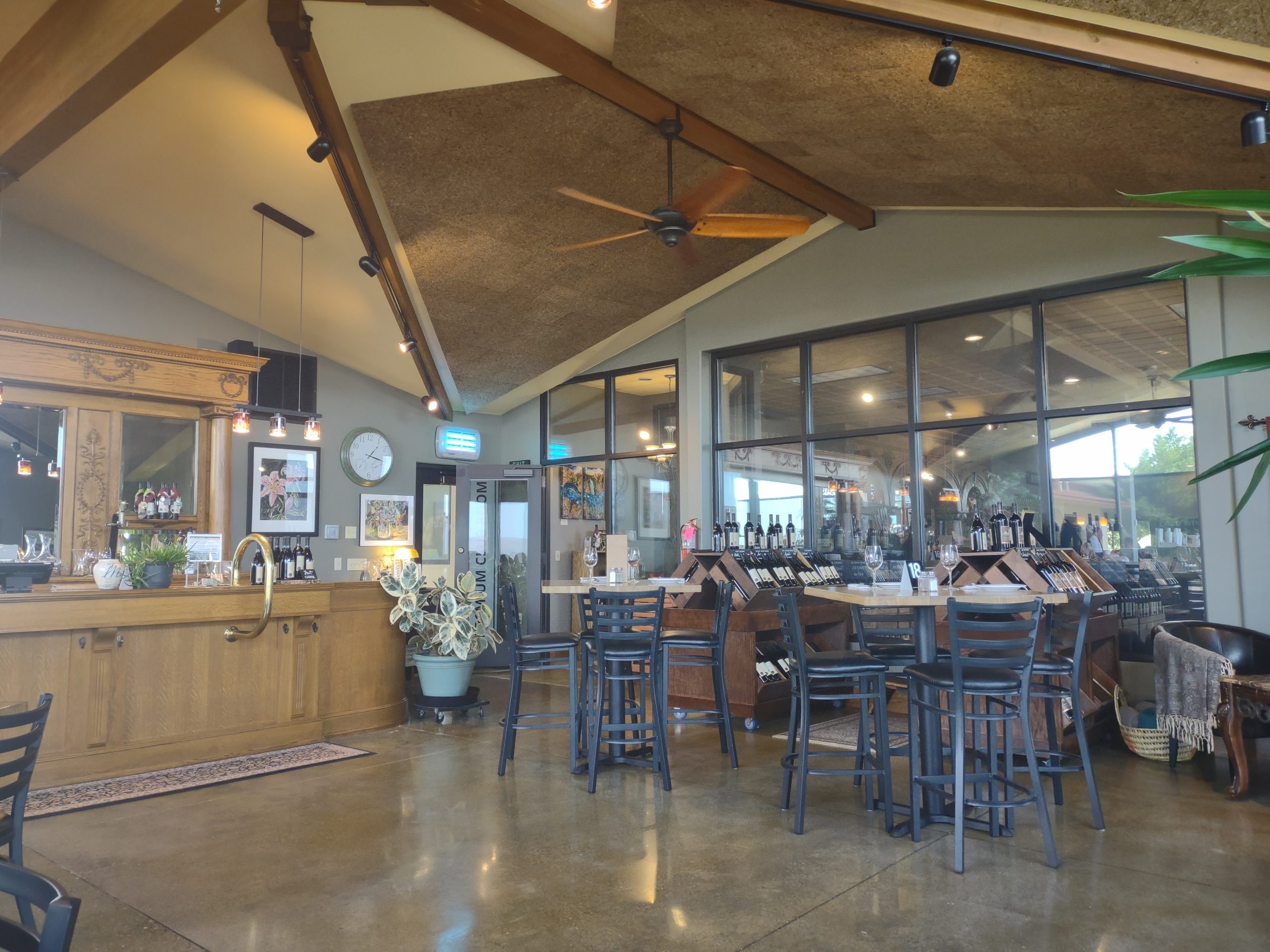
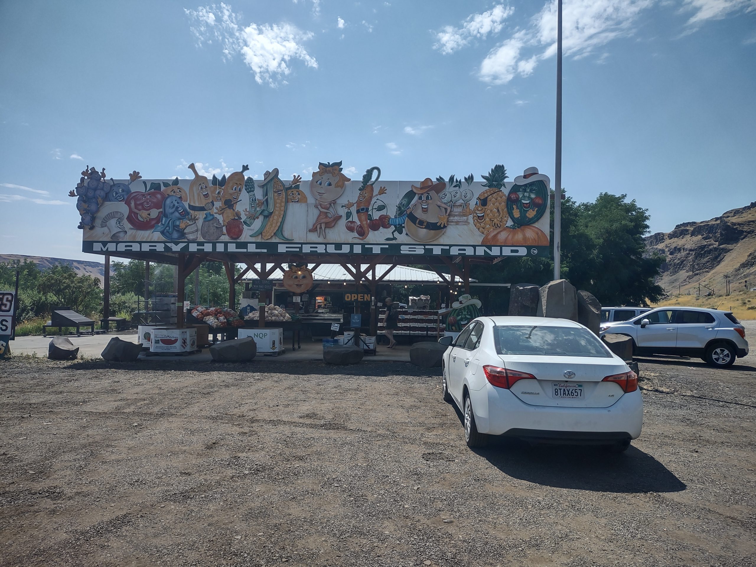
We did a loop today, from The Dalles OR to Lyle WA, then over the plateau to Goldendale WA then back to Maryhill and home. Along the way, we drove along the Klikitat river, quite beautiful. Lunch at the Maryhill winery. Bought fruit at the Gunkels orchard farm stand, which has the best apricots we’ve tasted since Toulon in 2013. We were outside only briefly, as the temp hit 106 degrees F (41C). One more hot day, then next week will be cooler.