
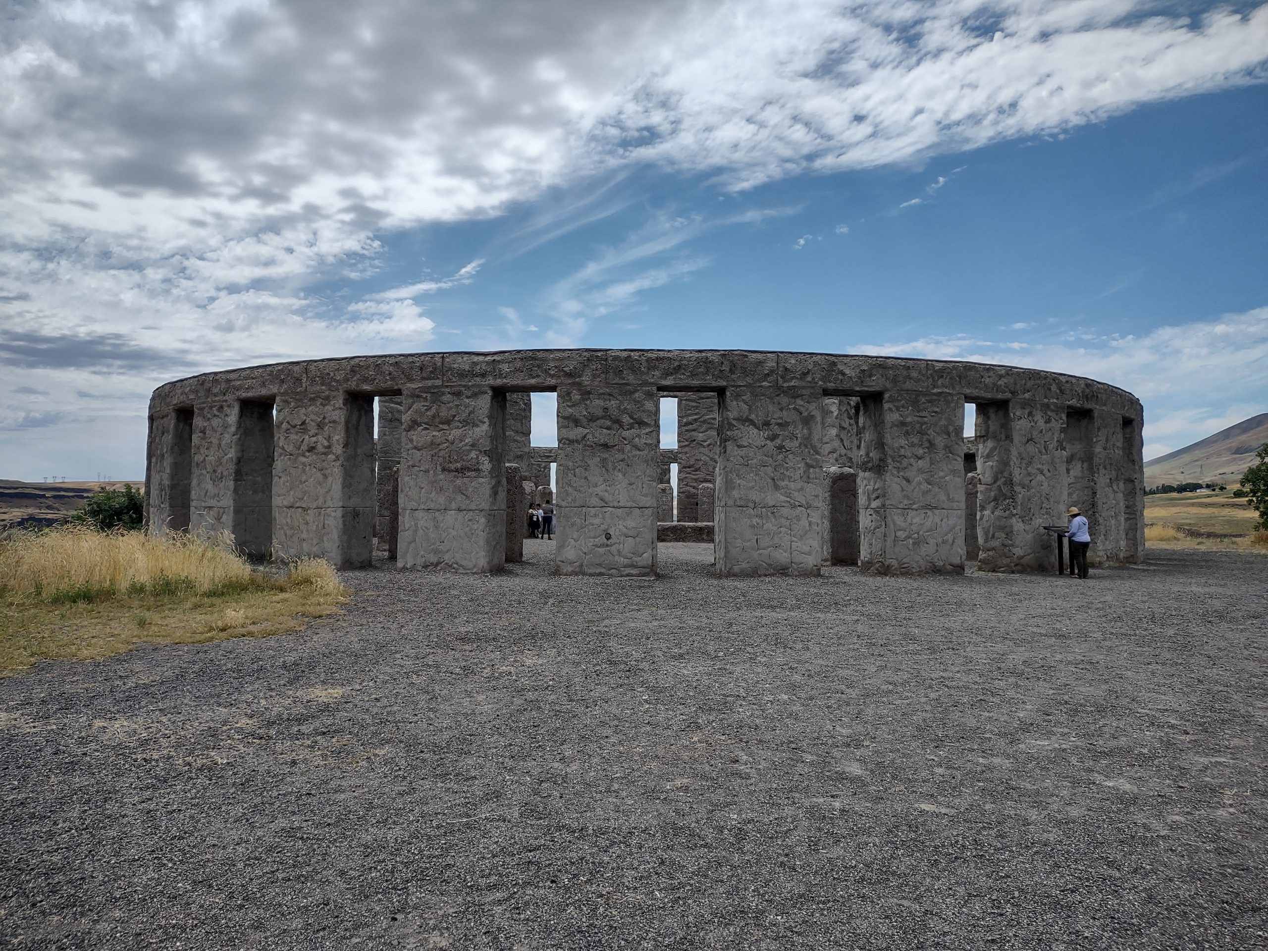
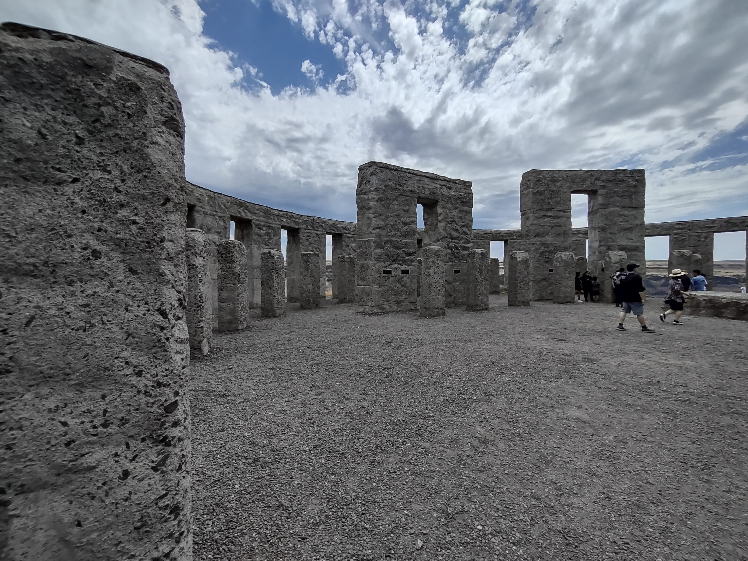
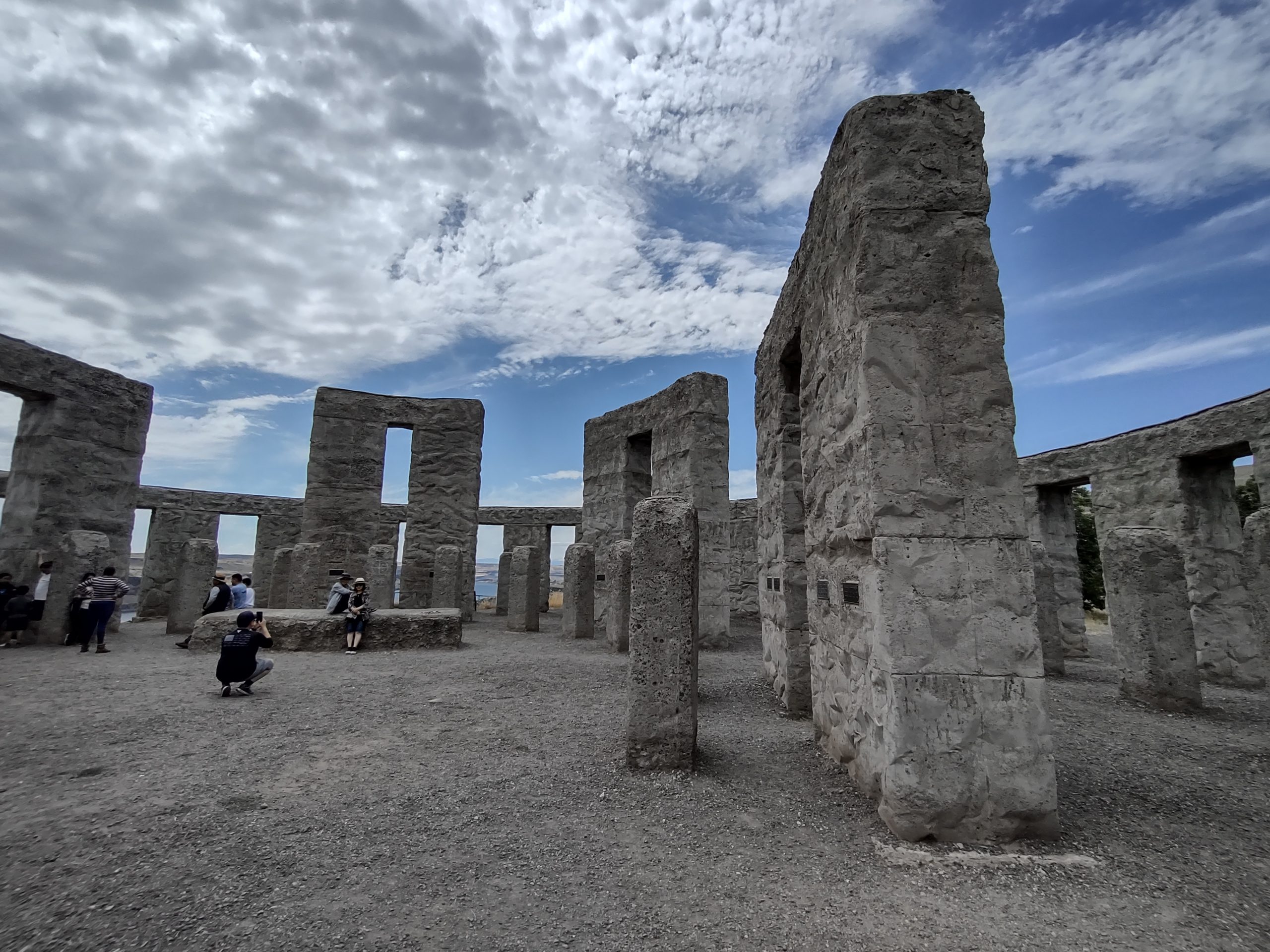
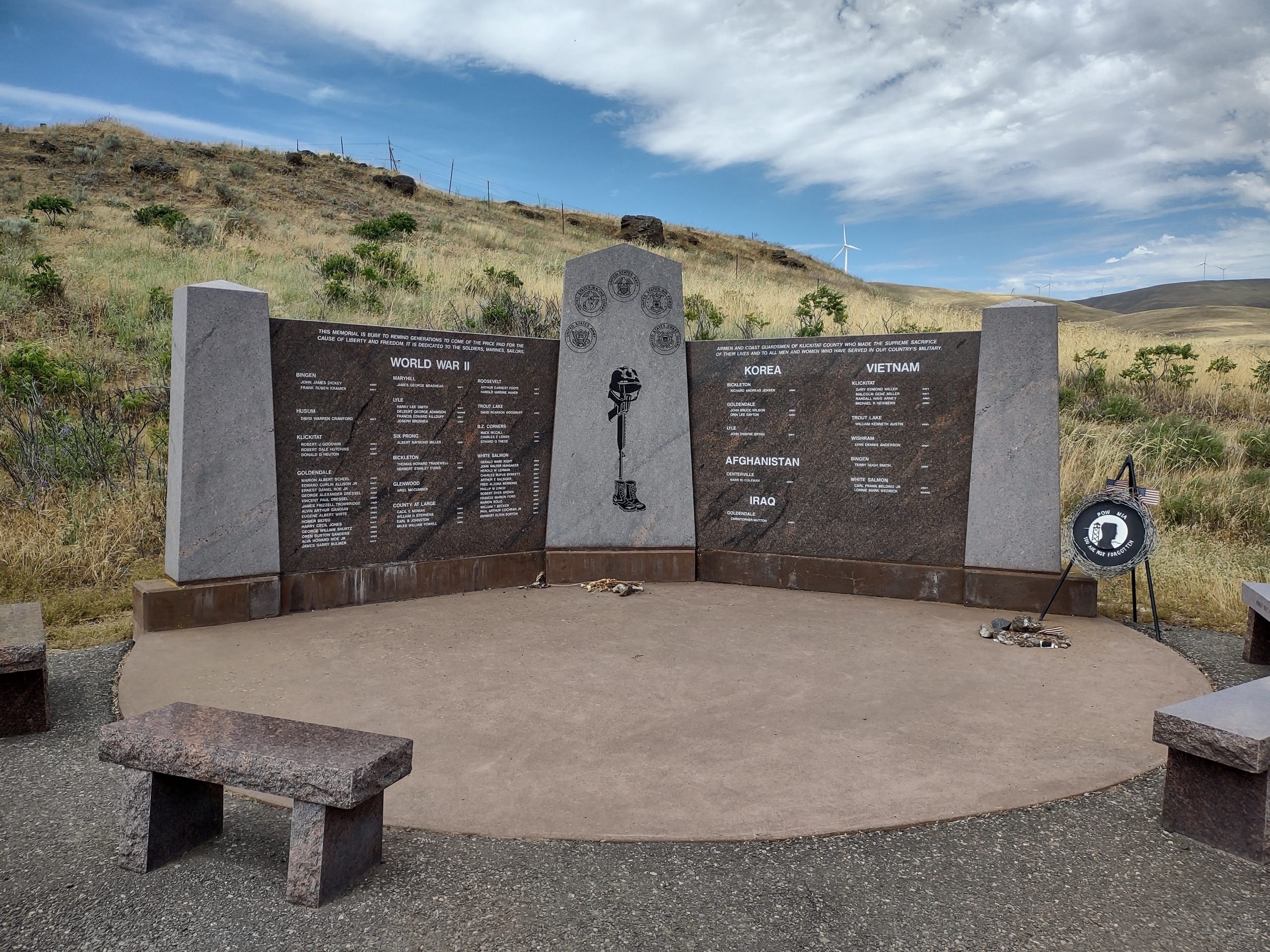
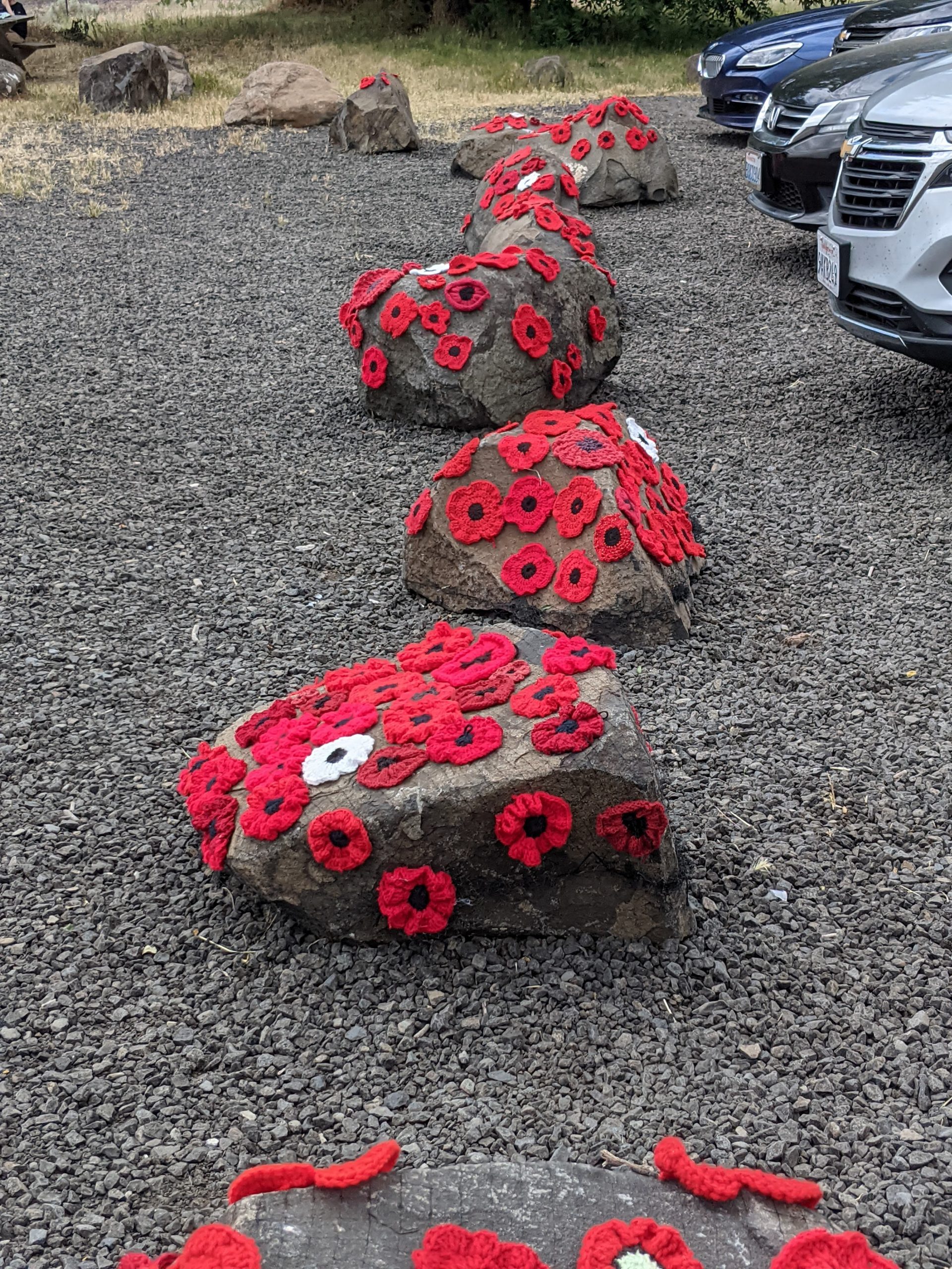
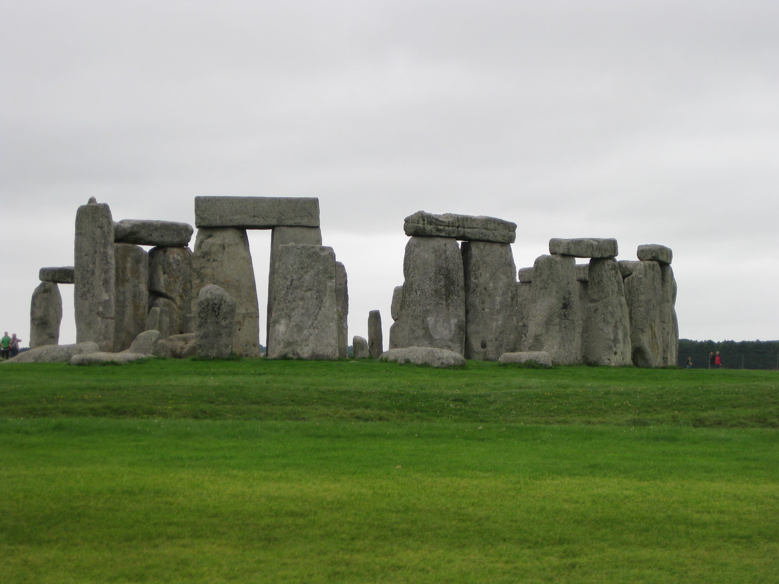
Stonehenge in the USA
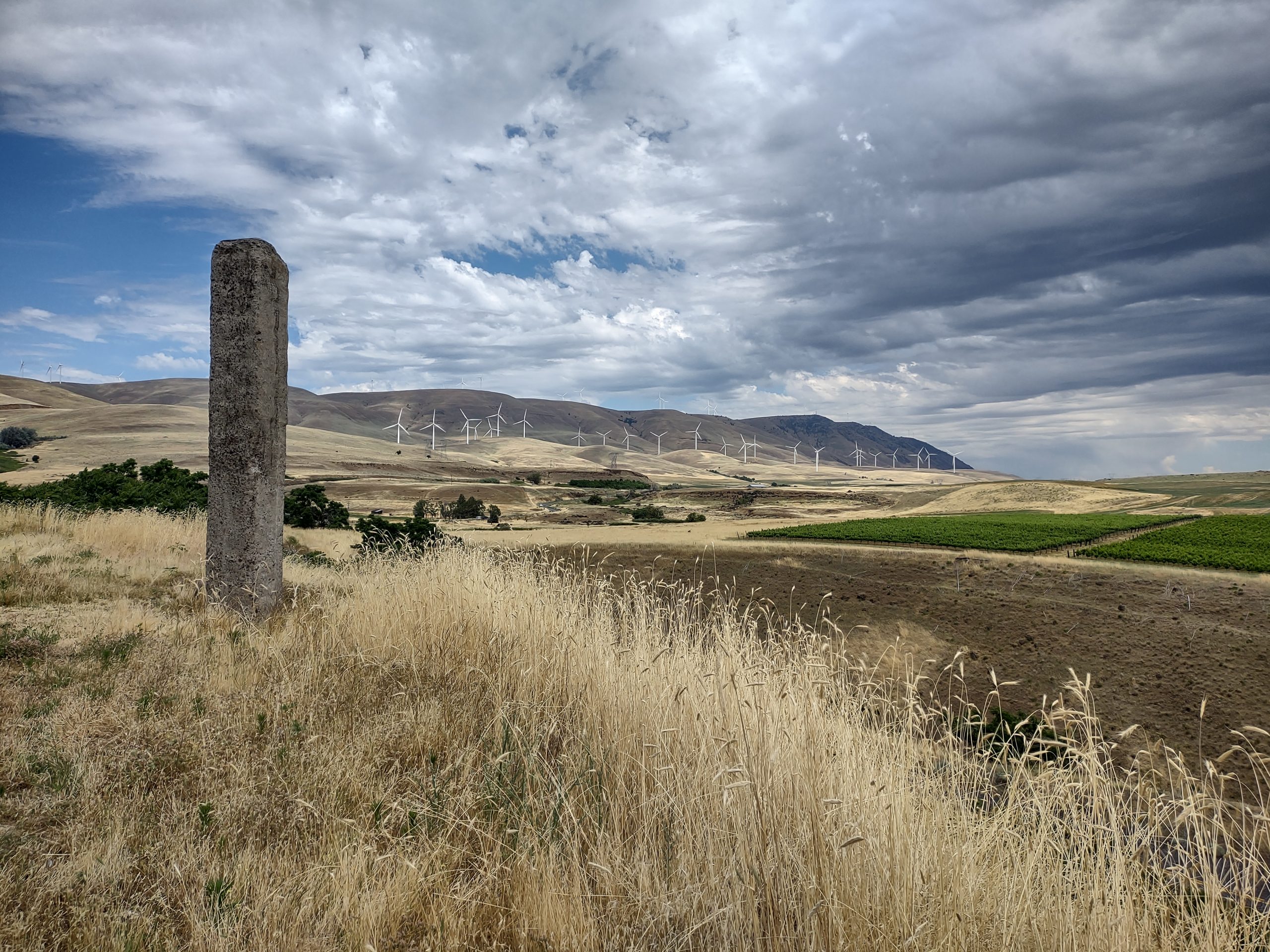
On the Washington state side of the Columbia river, there exists a memorial first dedicated to military people killed in WW1 from the area. The creator of the memorial decided to duplicate Stonehenge in its size and orientation, but complete. The memorial is not far from Maryhill winery, so we visited. It seems to be built of concrete, rather than discrete blocks. Here are some pictures:


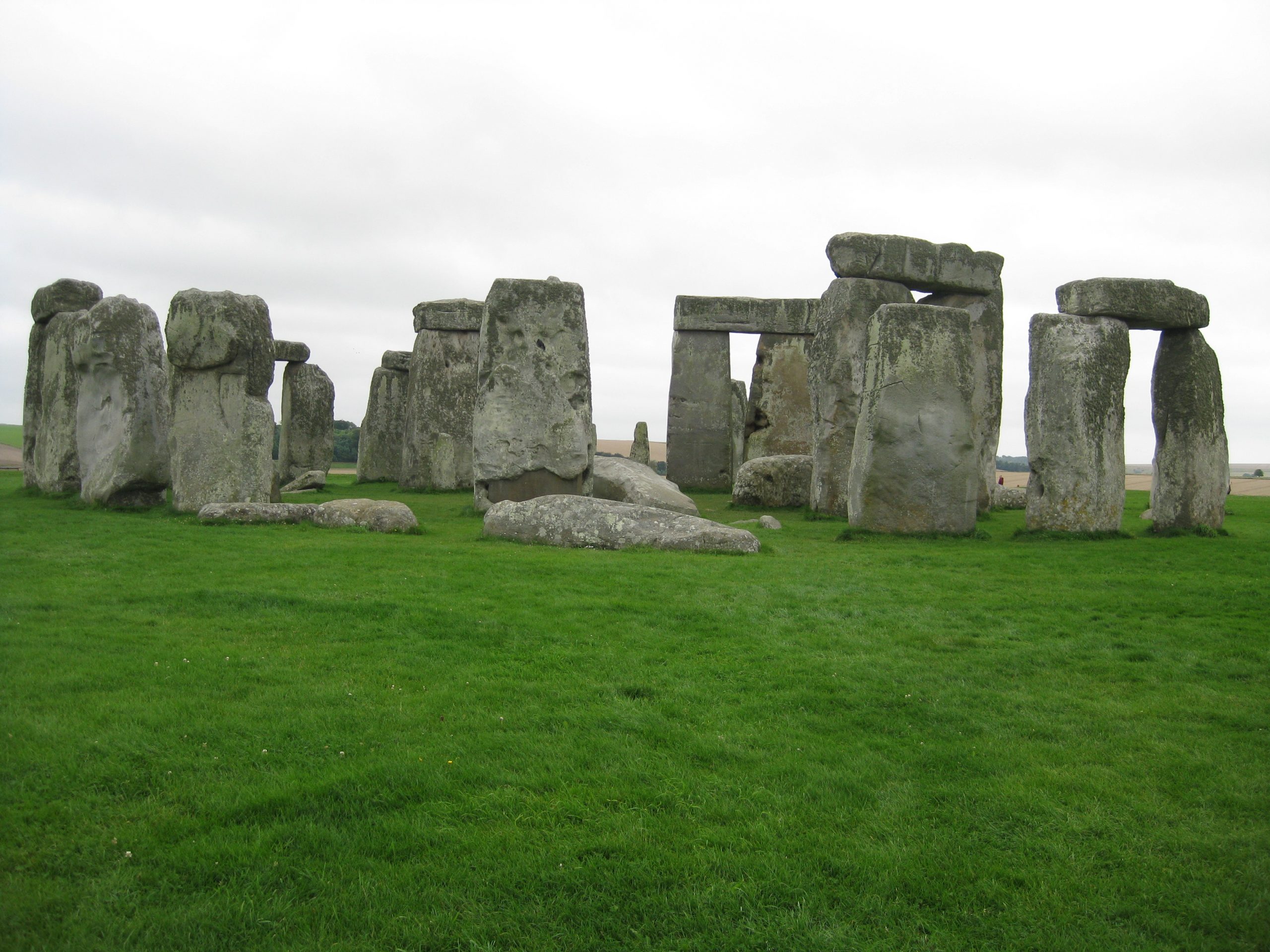
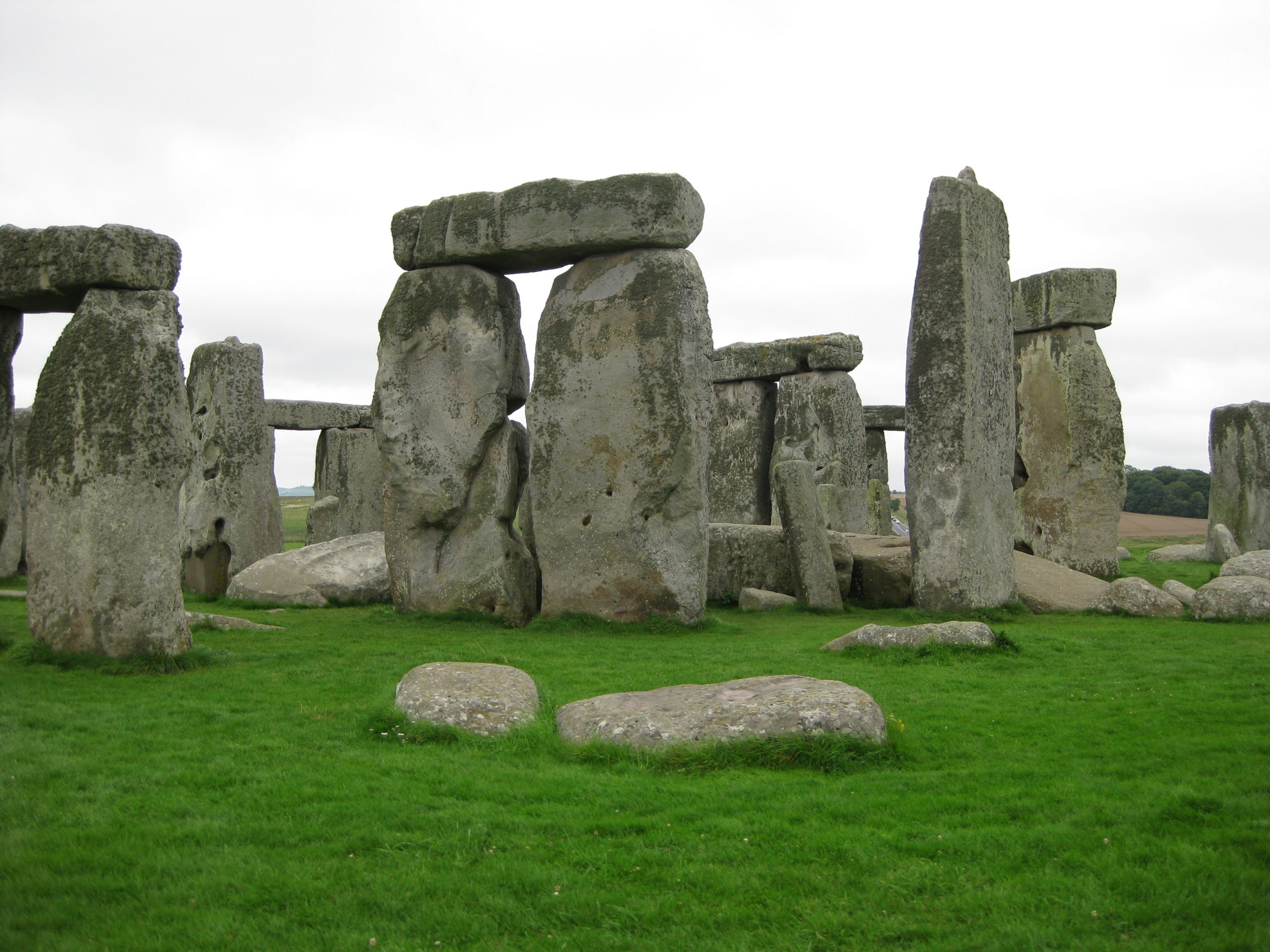
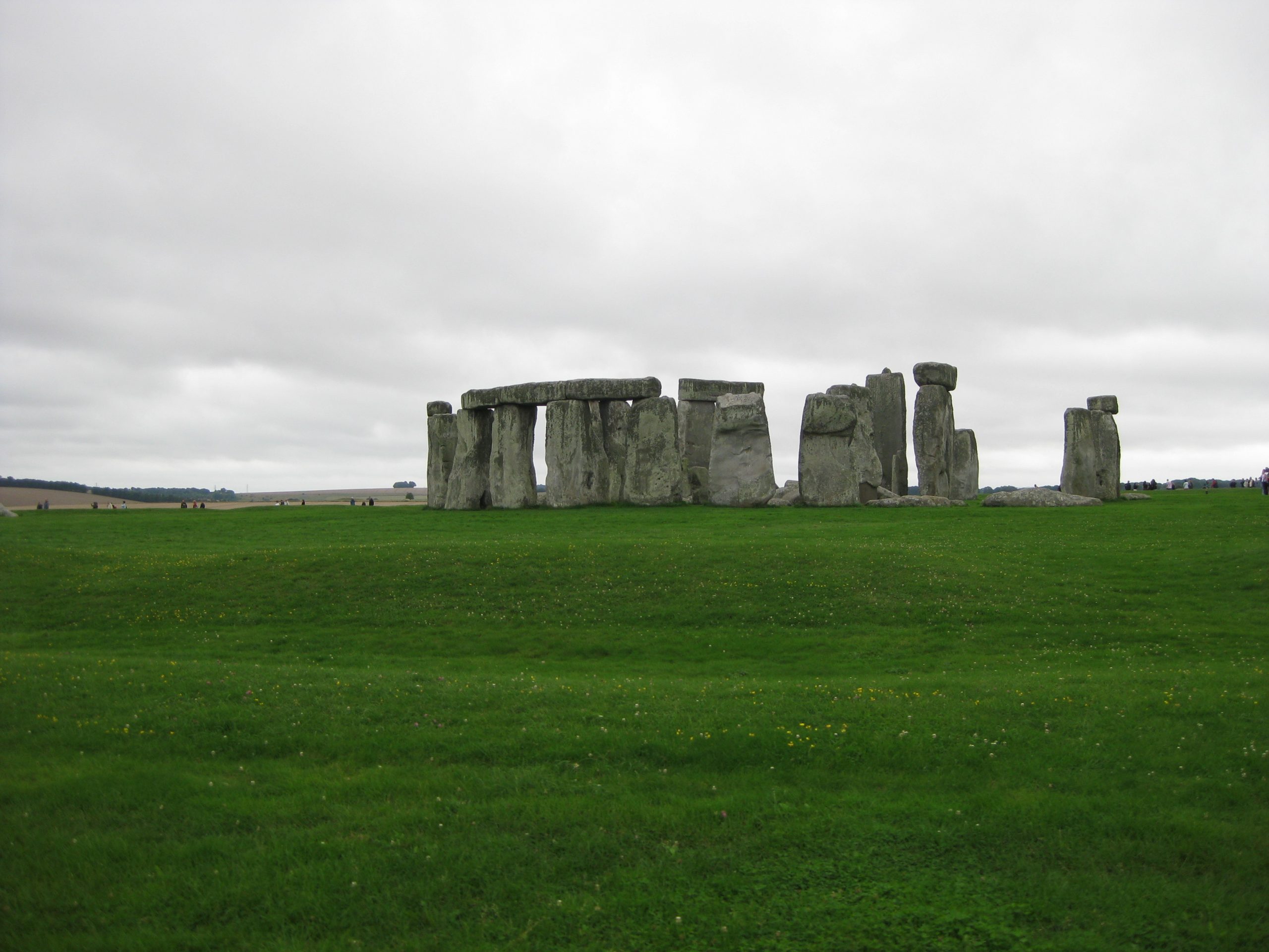
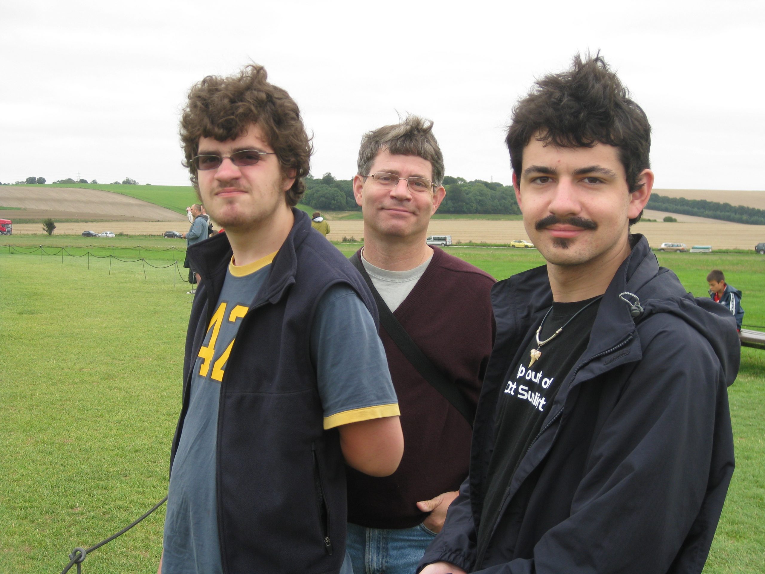
For comparison, here is the original Stonehenge, on the UK Salisbury plain, from our visit in 2009. My hair has since gone white!
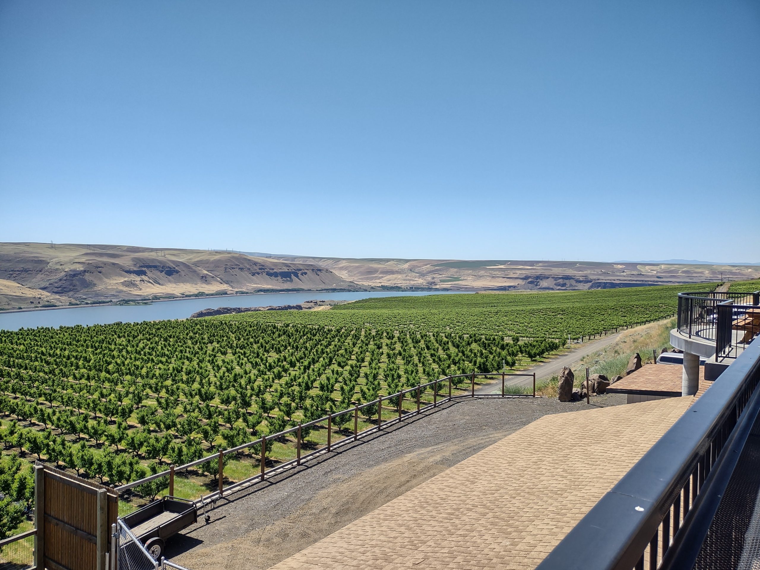
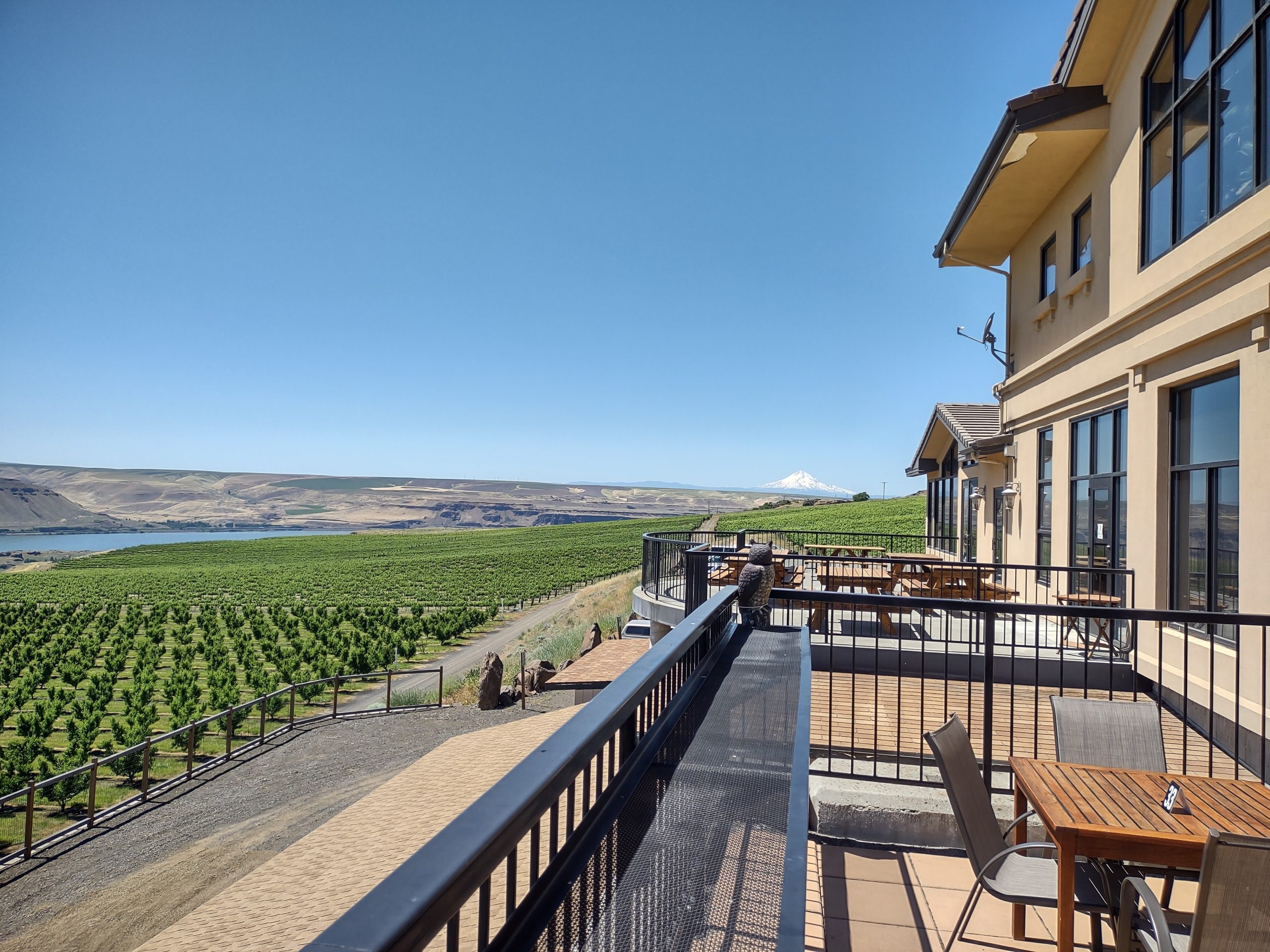
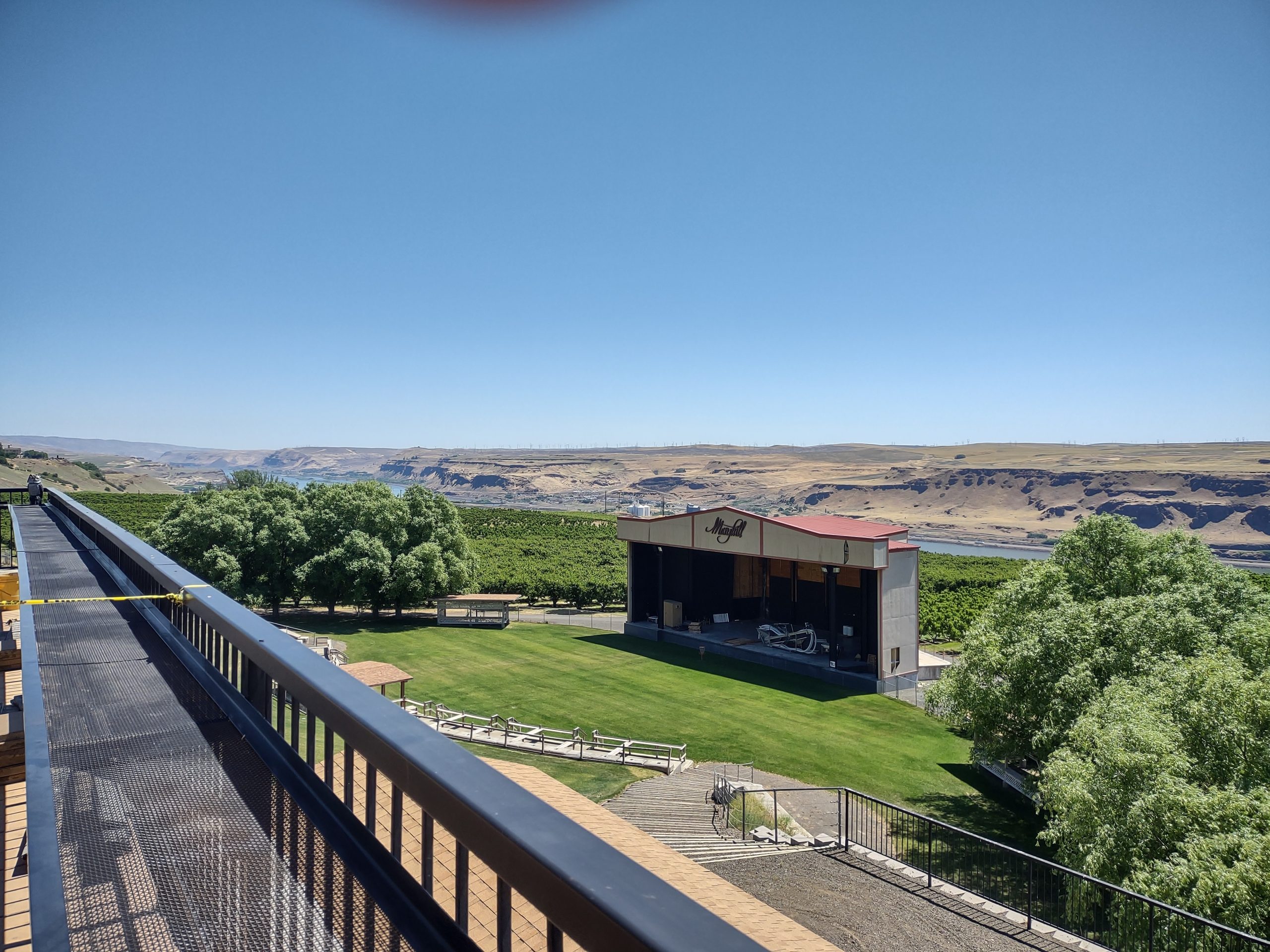
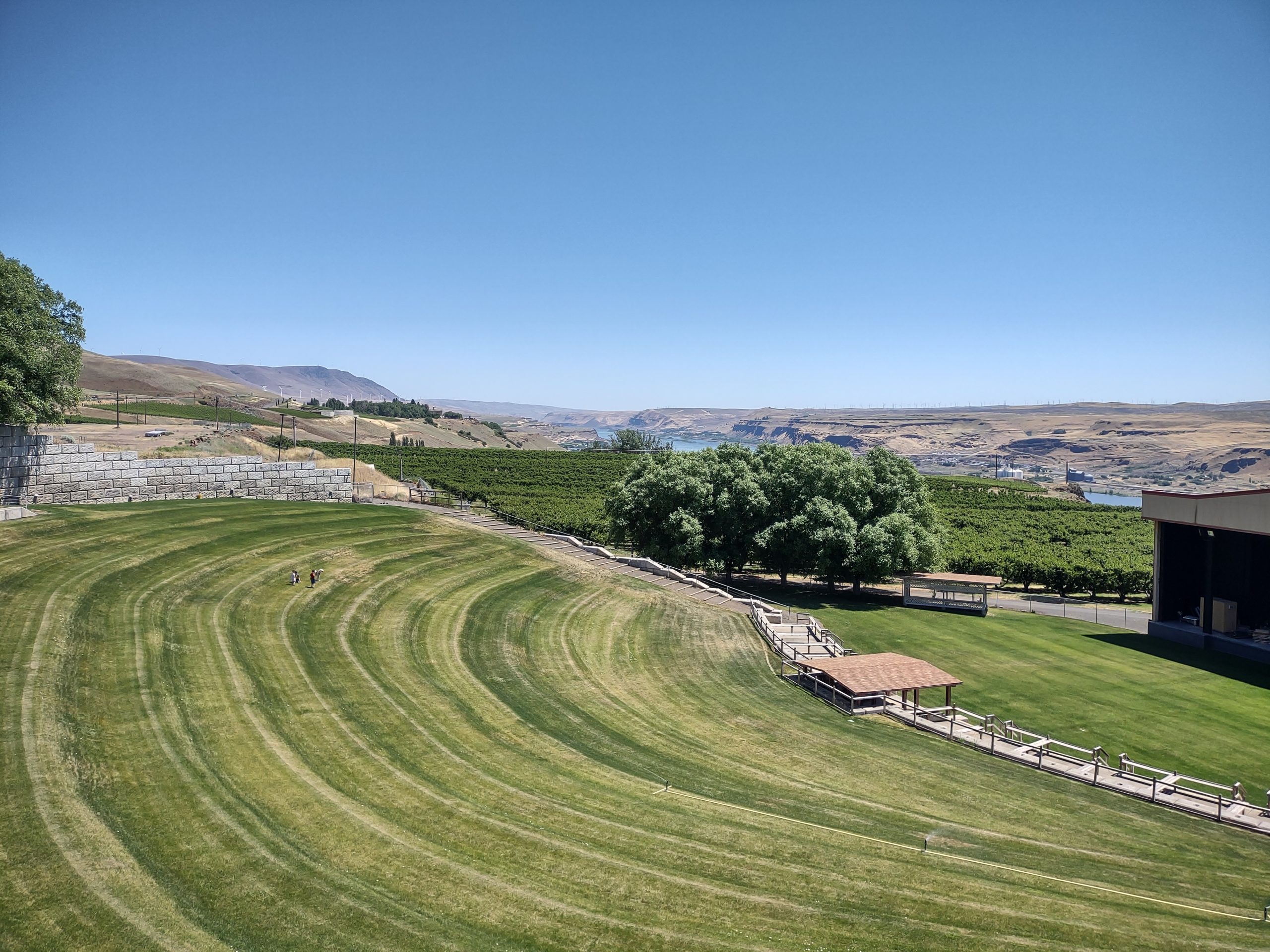
Maryhill Winery
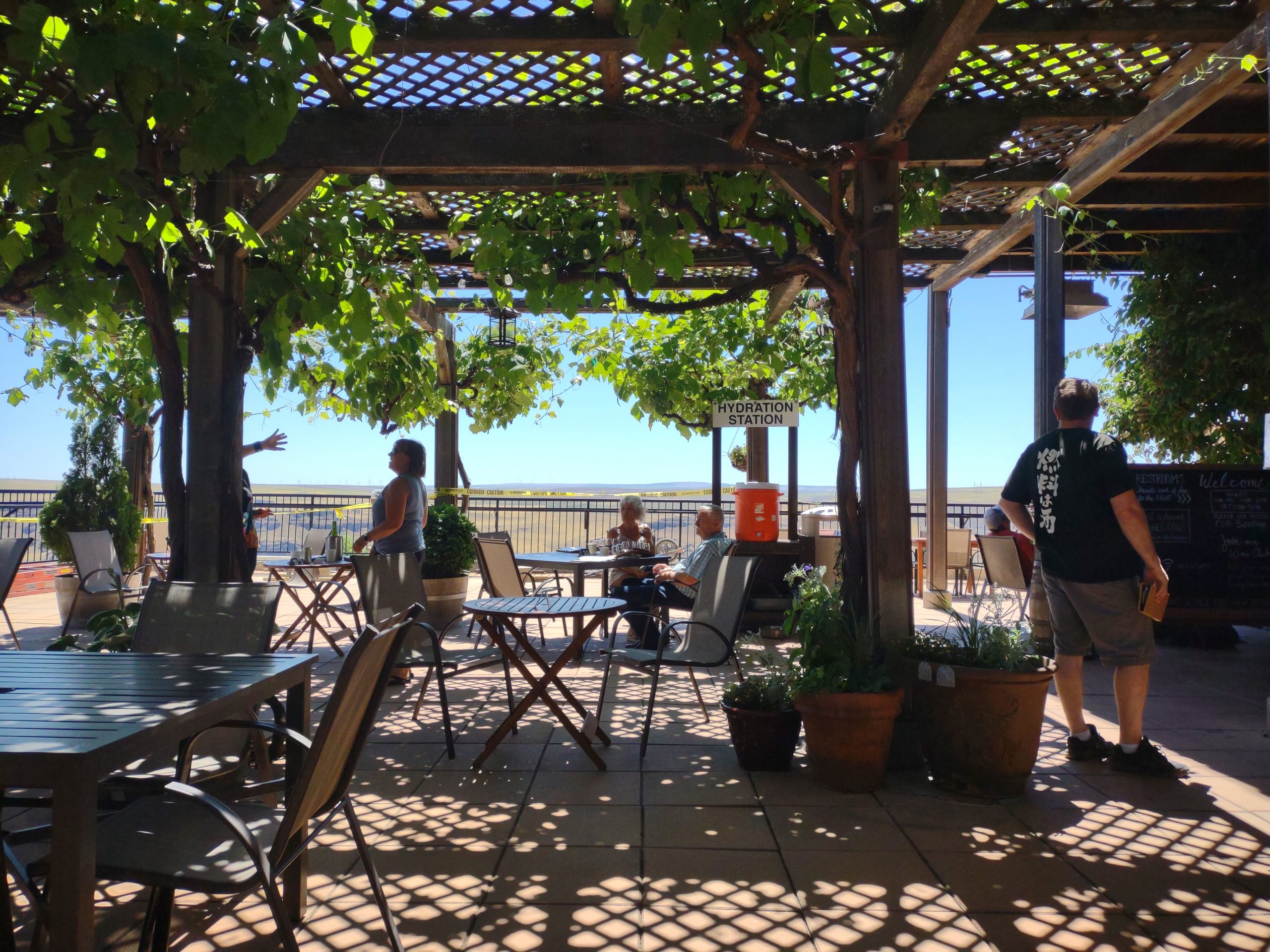
This past weekend we ventured across the Columbia river into Washington. We visited the Maryhill winery. Had some delicious lunch, tasted some very good wine. We joined their wine club, after verifying that they can ship to North Carolina. I especially like their Merlot (great cherry juice) and Syrah (dark cherry juice). Deb loves their chardonnay.
After lunch, we drove a bit farther east, crossed the river back to Oregon and came back to camp. Only fifty more wineries to visit!
Getting the Dish working
No, not Debbi, she already works and is quite a Dish! We velcro’d our Dish TV antenna to the roof today so we can binge on HGTV. Had to clean a circle, apply the velcro and mount the antenna. This won’t keep the antenna in place when the Goose is moving, but is fine for our stay at Harvest RV park. Discovered that a 20 ft coax cable is just too short, but a 25 ft cable works well.
Then we went inside to acquire satellites and get it working. We discovered that the bedroom TV has some bad HDMI cabling, so that’s on order from Amazon. The front TV (separated from the bedroom by all of ten feet) works just fine.
Instead of HGTV, we’re now watching Chip and Joanna on the Magnolia channel. Sure do like that shiplap!
Sockeye salmon queued for dinner tonight. Again. Really great!
First golf in a while
Played The Dalles Country Club, a very nice 9-hole course. Plenty of elevation, lots of tight fairways with ball-eating trees, one hole with water. One plays the nine holes twice, but from different tee boxes. Shot a (generous) 88, ignoring any tee shot that was wayward. Played with OPB (other people’s balls), because my game was insufficient to retain my own. I had four things against me on this round:
- First round on this course. Any time I break 100 on a new course, I’m satisfied. My actual strokes were probably less than 100.
- New clubs. sometime ago, I got a new driver, hybrids and strong 5-wood.
- Very windy conditions. This is the usual weather here, but very different than NC.
- Only my fourth round this year.
I’ve applied to join this country club for the time we’re here. The course is convenient and challenging enough for me. Walking the course will garner me the exercise I’ve been missing.
A simple work day
Not much to say about today. Deb saw patients, I worked on grant writing and accomplished a few chores. Found some fresh-caught sockeye salmon in the grocery store, so we’ll have some tasty for dinner!
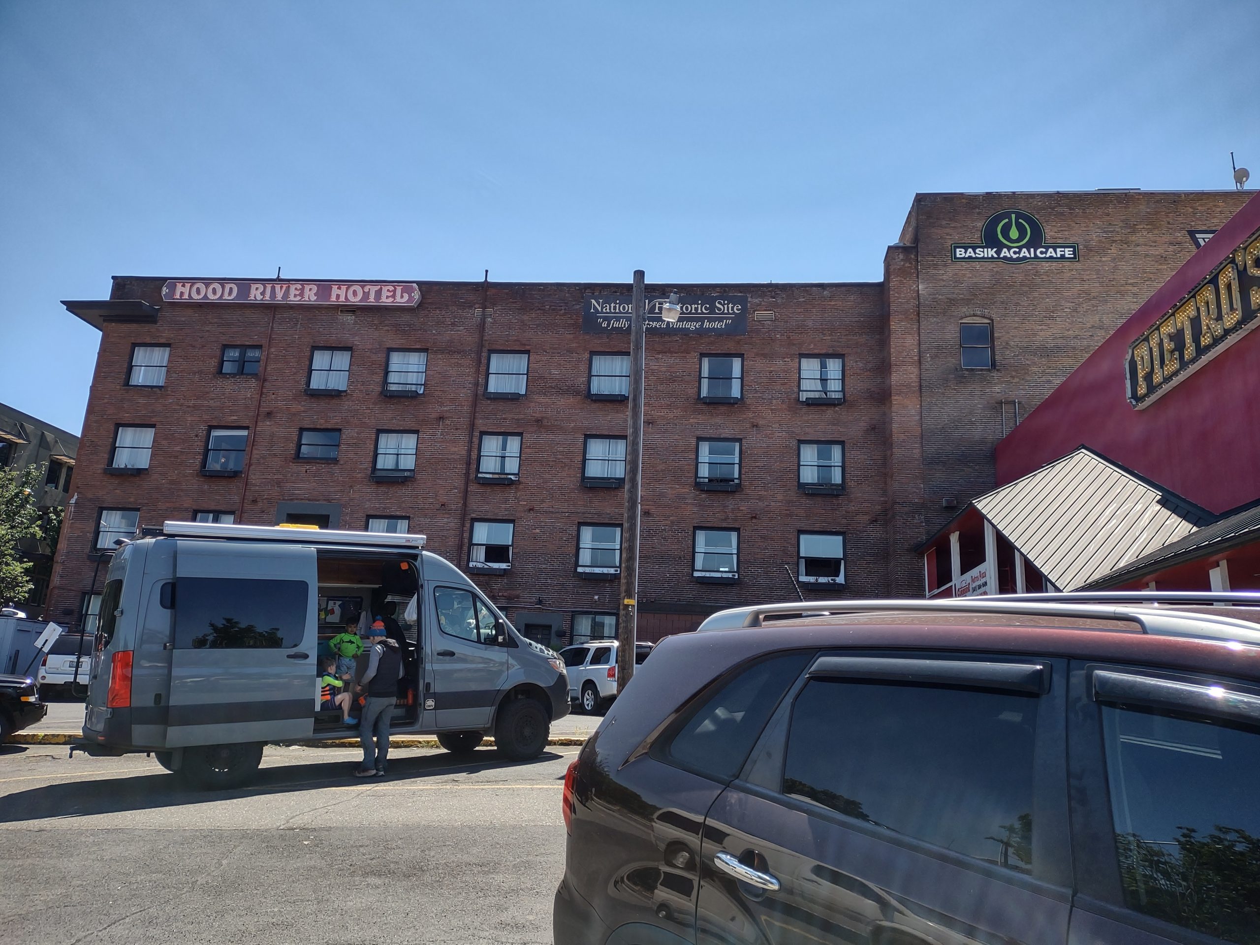
Hood River and Parkdale
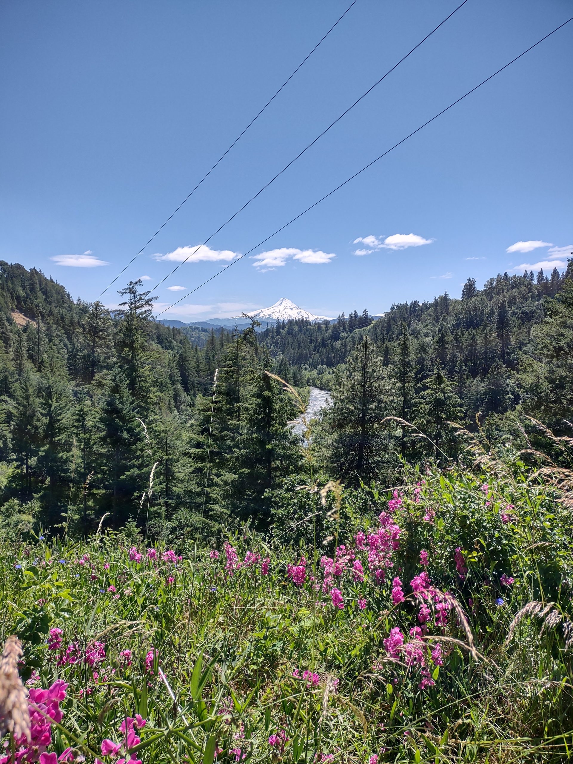
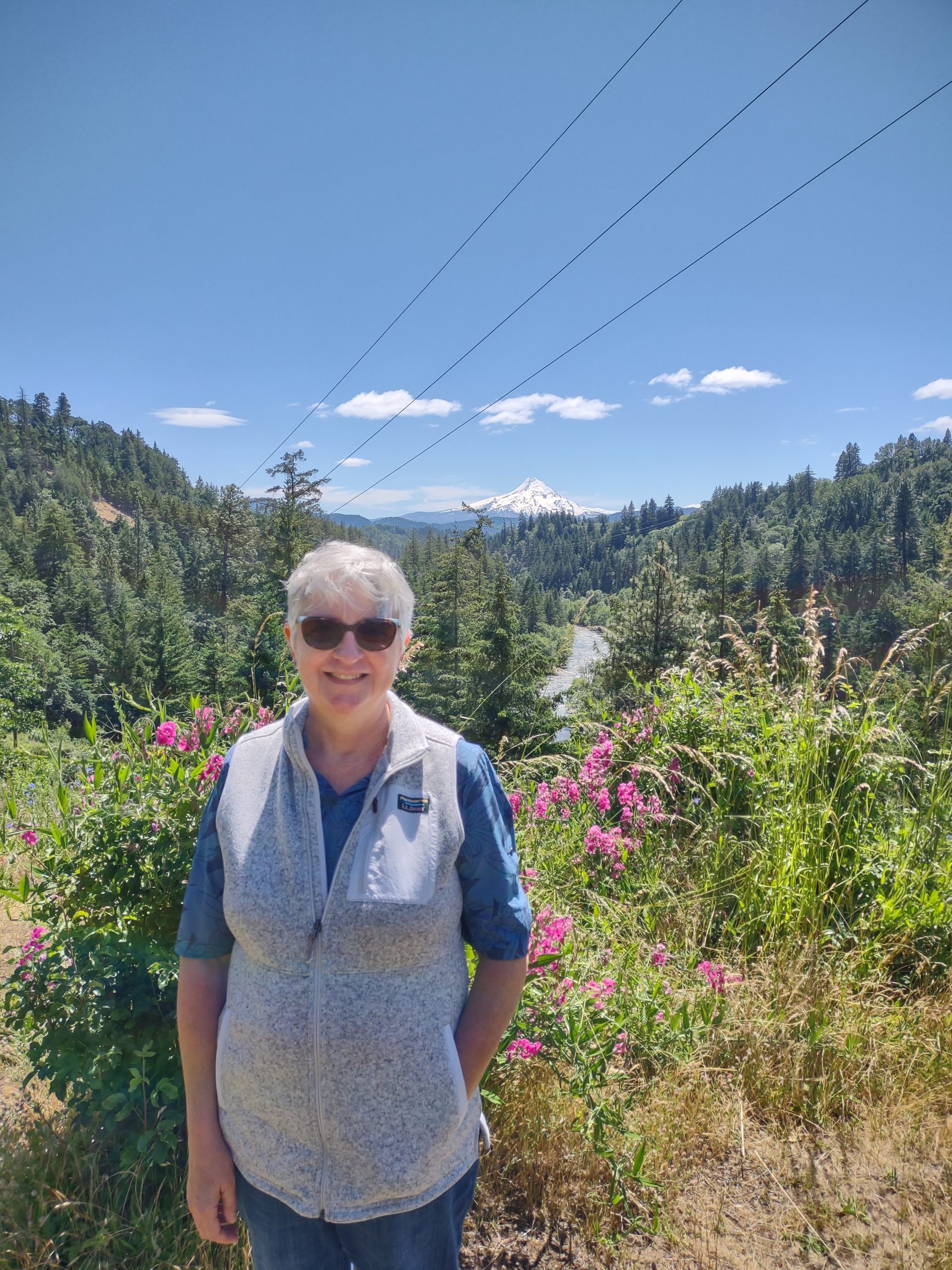
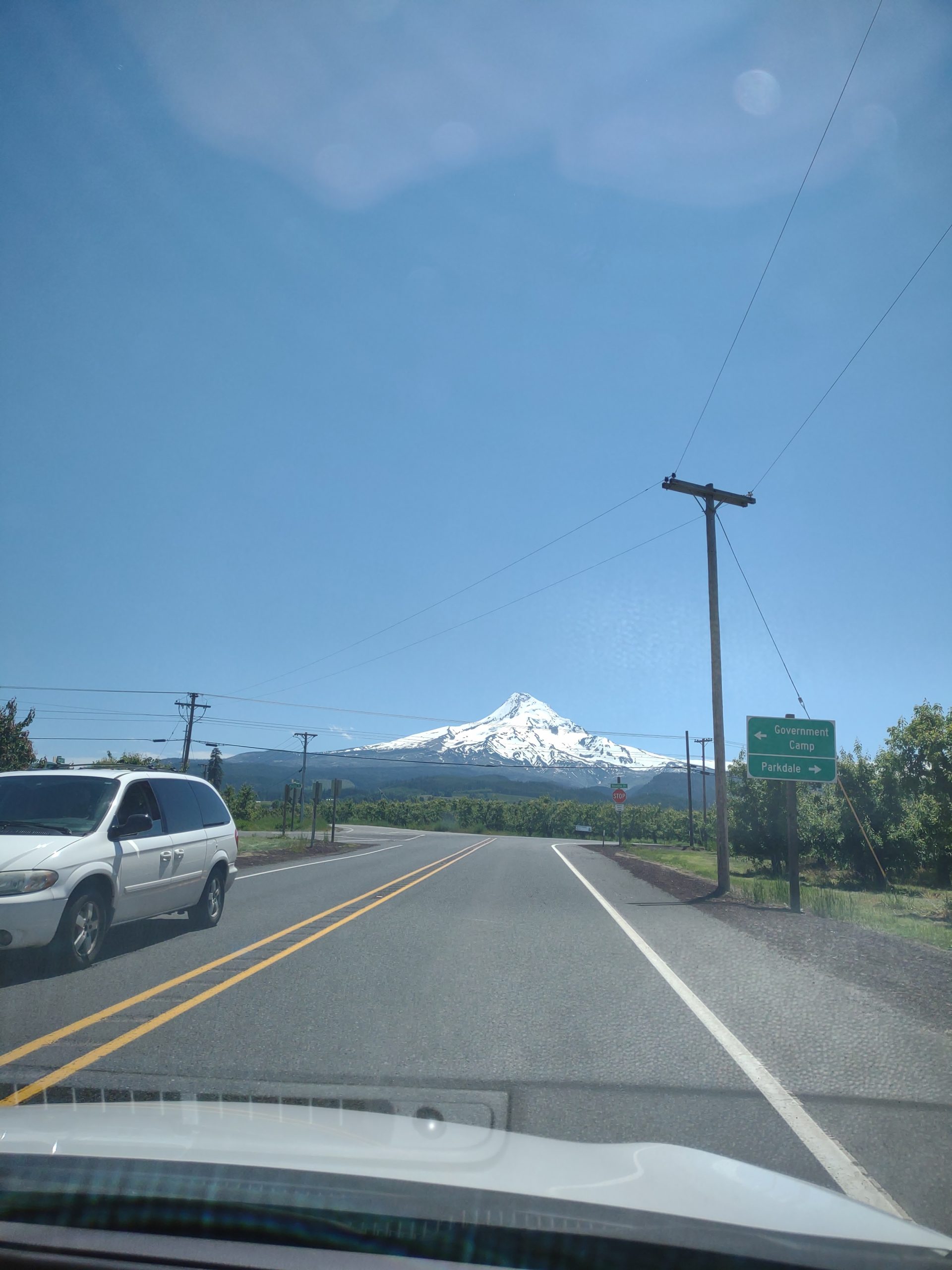
Today, we drove around locally, Deb still at the wheel. We went west to Hood River and walked around a town that reminds us of Blowing Rock. Tasted some Cerulean chardonnay and pinot noir. Jim is not sure pinot noir is really a wine, but he’s willing to keep testing. Then we drove south on OR-35 to Parkdale, with gorgeous views of Mt. Hood. This road passes through fruit country: apples, pears, cherries and wine grapes. We took the Dee Highway back to Hood River, then back to The Dalles.
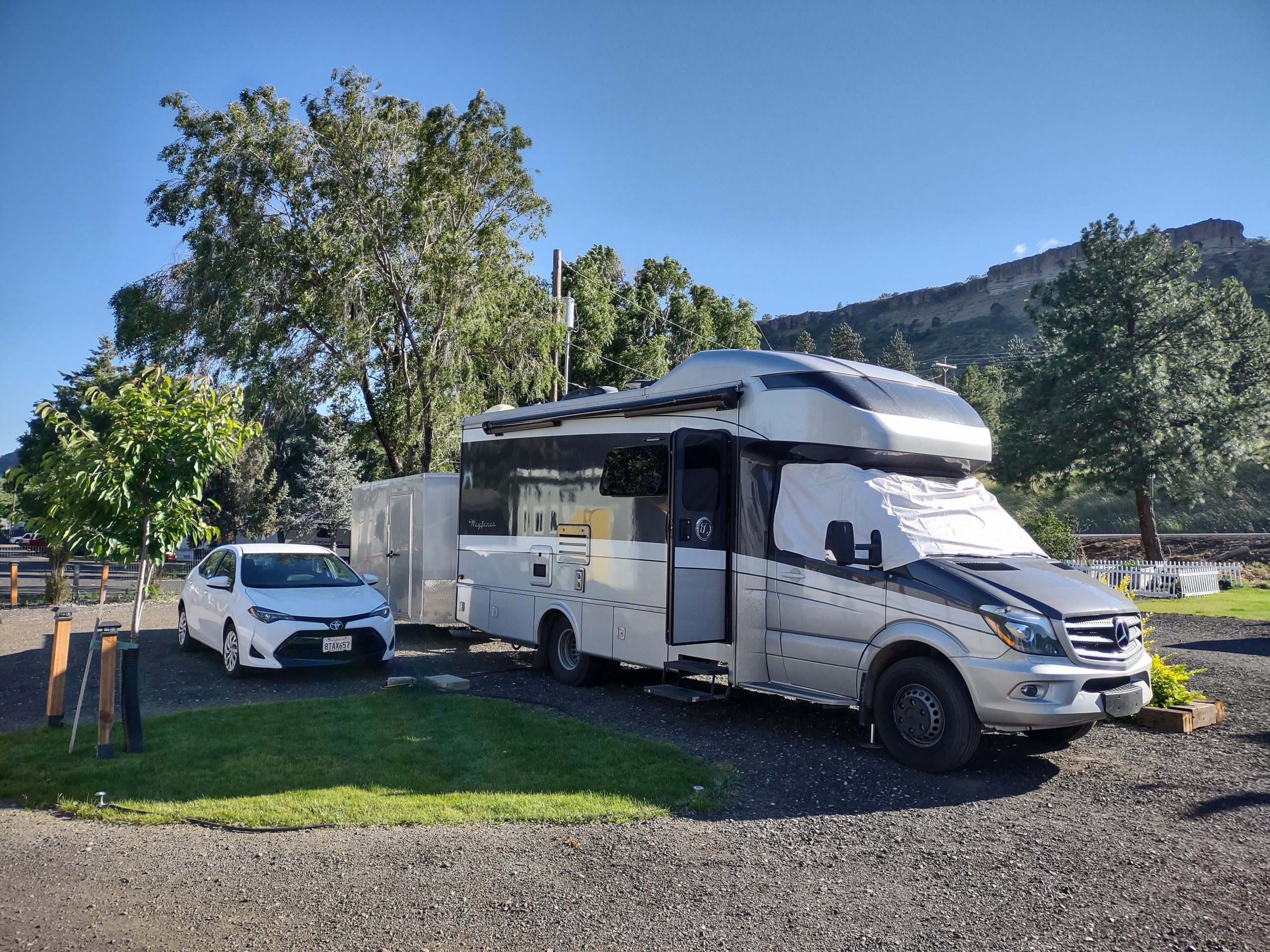
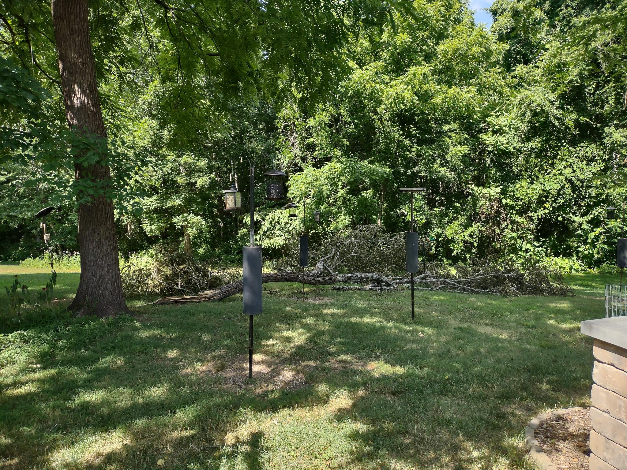
Goose and Gosling are parked
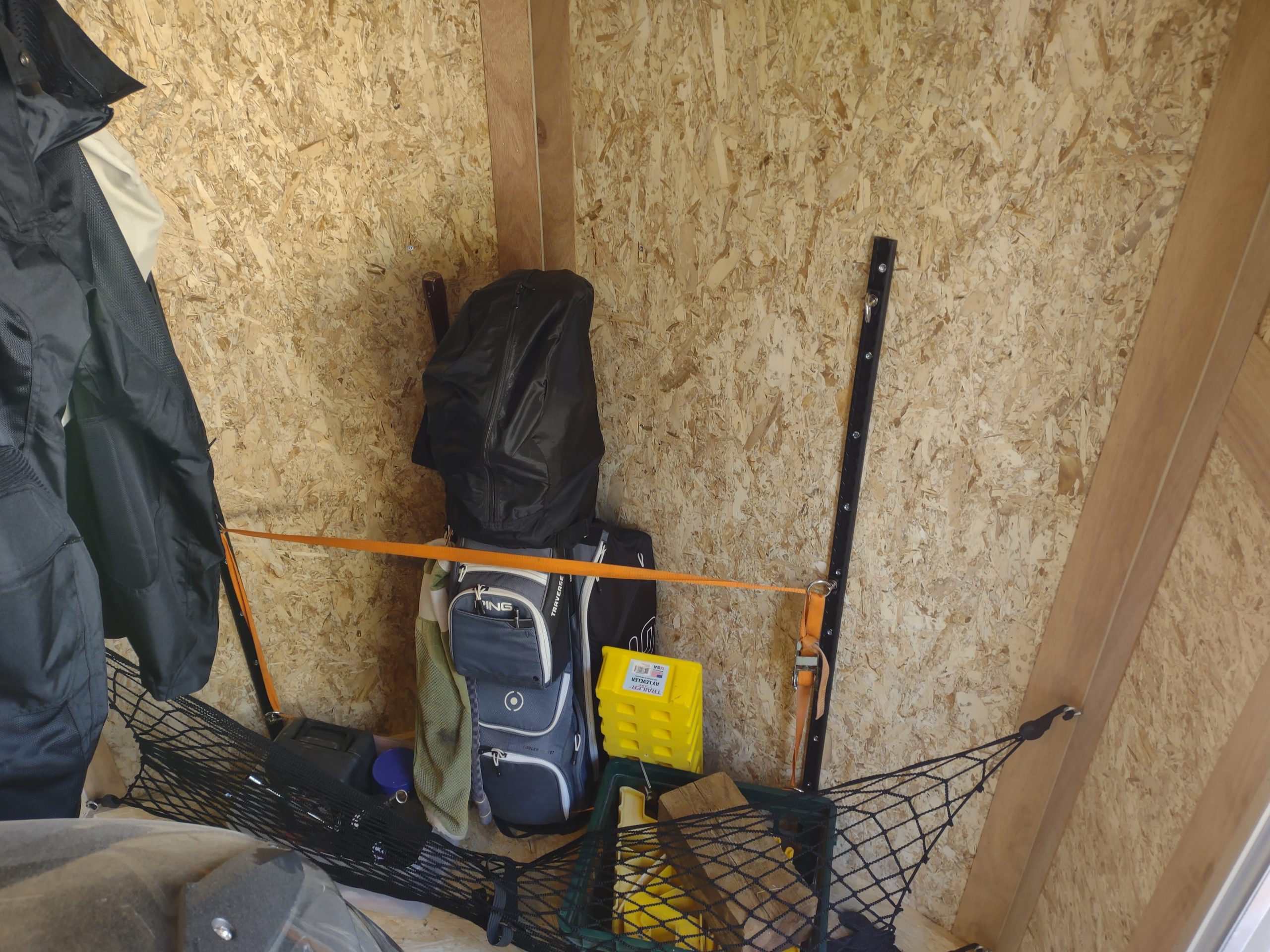
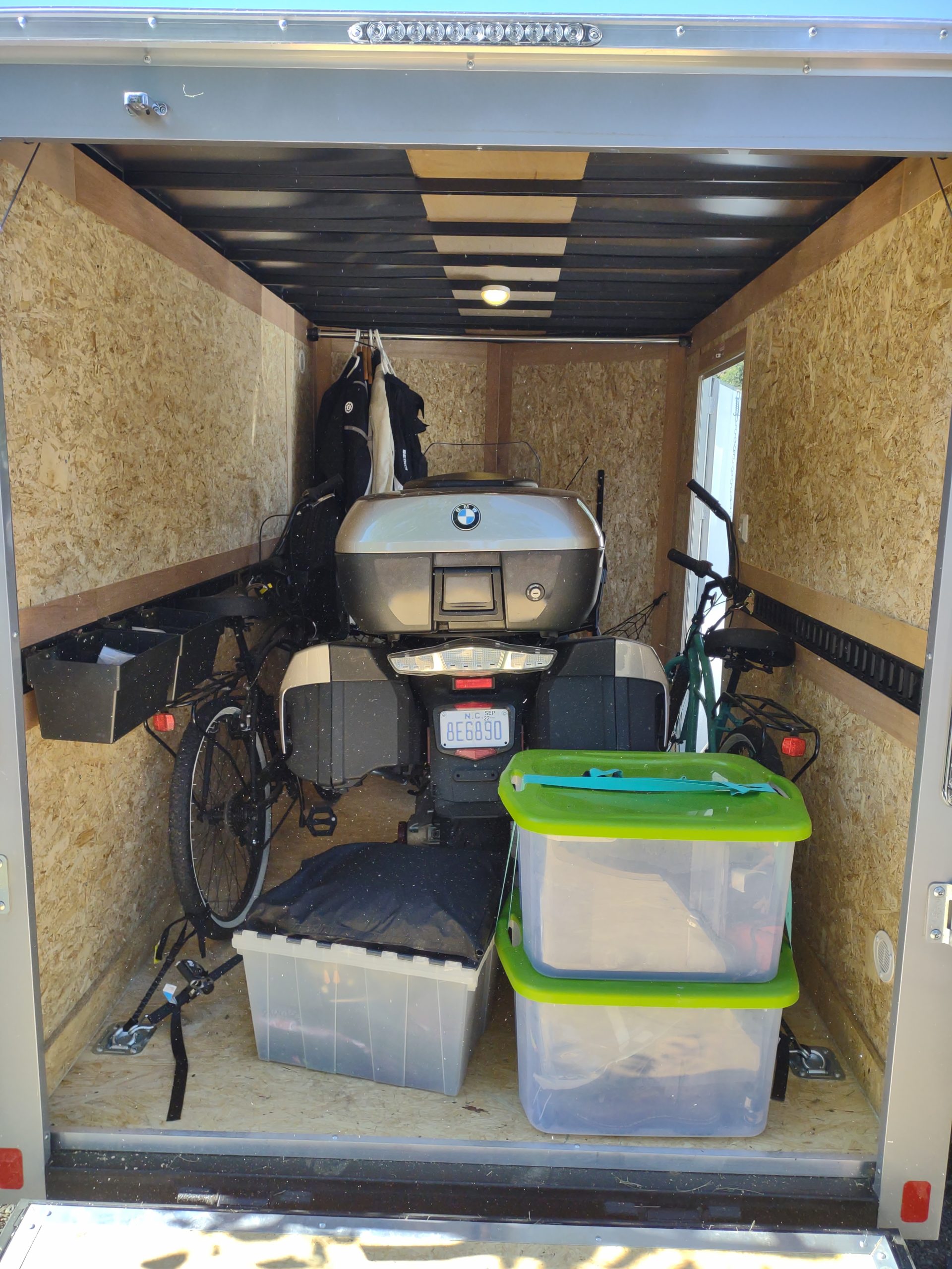
We moved out of Deb’s hotel today, into a small RV park in town. We’ll likely leave Goose and Gosling in this spot for some time, maybe the length of the whole assignment. Deb has a rental car we can use for local exploring, and I have the BMW motorcycle. Advantageously, we’re parked so I can open the back and side doors of Gosling, with good access to the entire interior. Here are a couple of pictures showing our current set up.
Meanwhile, at home …
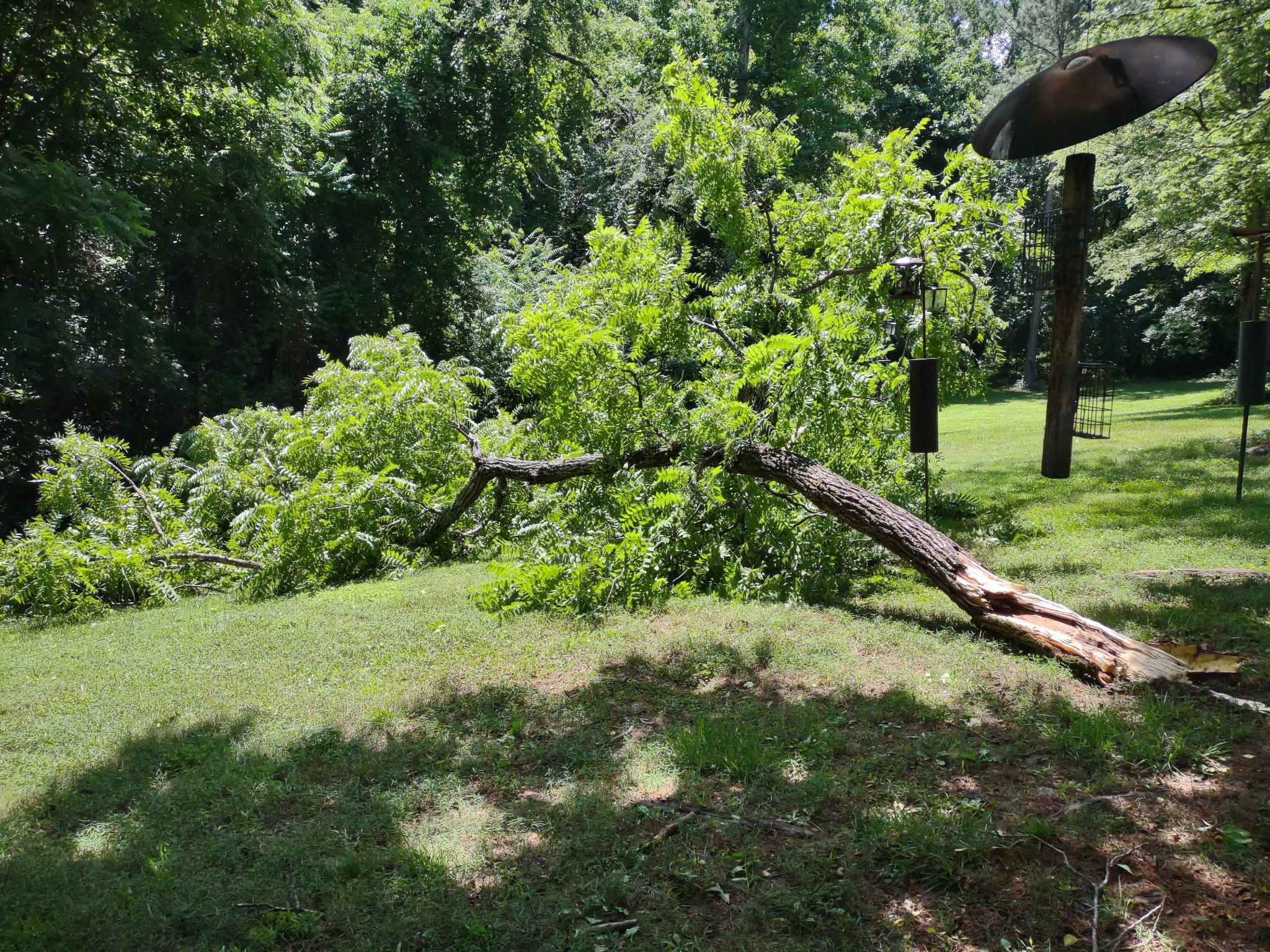
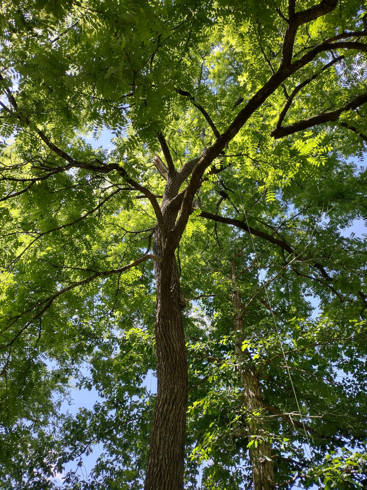
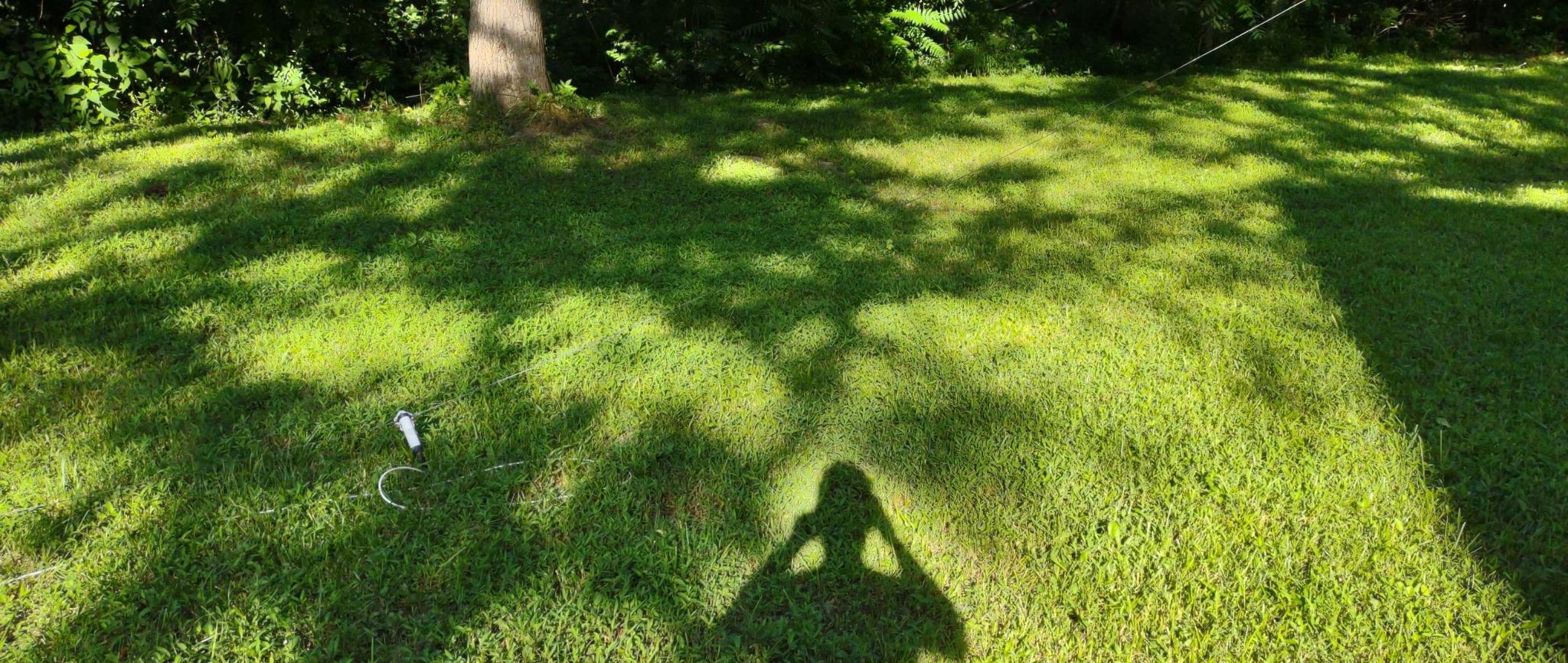
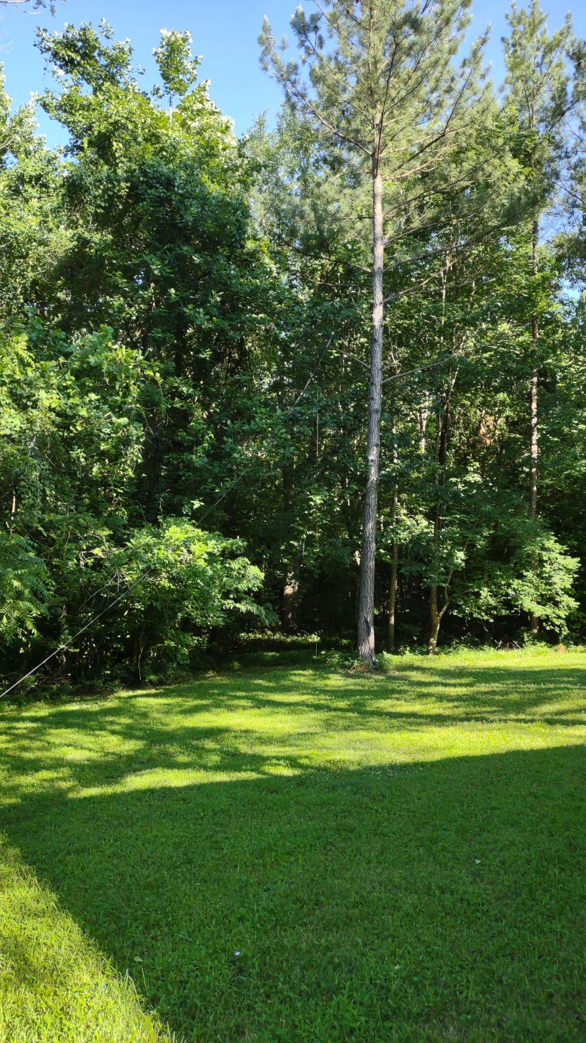
Big storms blew across the country, from Oregon to North Carolina. Aaron, keeping the home fires burning, texted us that a big branch fell off one of our backyard black walnut trees, taking down my amateur radio HF antenna. He said the branch was huge, at least a foot in diameter at the base. Good thing all antennas are temporary, and that the branch fell away from the house!
It’s all about agriculture
Underway at 0827MT. Ate a very nice bacon, egg and cheese bagel, then filled up with diesel at the campground station. All day I had either a tail wind or slight cross wind, depending on where I-84 was pointed at the time. Best fuel mileage so far of the trip at 16.41 mpg towing the Gosling.
Idaho in its south is all about agriculture, either crops or beef. If they water it, it grows. There are millions in capital invested in irrigation equipment, including turret center circle makers and wagon wheel pipe systems that roll across the field. If those don’t get the edges, people walk pipe and spray mounts to water the edges. Feed lots abound, as do hay fields and incredibly large bales of hay.
West of Twin Falls, and periodically elsewhere, the farm lands became rocky, ravine-ridden, and gorges showed up. Agriculture was not possible there, so cattle/ sheep grazed, or the land was unused.
I kept seeing birds of the size of red wing blackbirds, but without the red flashes. Turns out they are Brewer’s Blackbird, with yellow eyes and black legs. A new species for me! Life List keeps growing.
The Snake river gave the highway a reason to exist. In the table lands, the very wide valleys are irrigated up to a point, then the higher lands became brown. By the way, that brown is the natural color of the west, where there is vegetation at all. I remember despairing on my umpteenth trip to San Diego that I missed the golden-green of the east coast. I’m back in the brown again. (No, that’s not a metaphor.) Sometimes you see a manmade hill of dirt on the plains supporting antennae: only way to get height of eye for cell service!
All the ramps onto and off of the interstate highway have cattle grids, so stock doesn’t wander onto the road. I’ve seen dead deer many times, so the “bull bars” of the 18-wheelers are effective against deer. I wonder at the carnage if a two ton bull wandered onto the road.
Arrived in Oregon too soon to go to the camp site, so I relaxed at the Ontario rest stop for an hour. I filled the fuel tank in Ontario. Then I proceeded up I-84 to Oregon 201, a river-hugging road to the Oasis on the Snake RV park. Landed at 2pmMT in a lovely spot near the Snake River. Lots of birds to watch.
A much better day
Underway from the KOA about 8am MT; temperature was 33 degrees when I woke. Filled the fuel tank (too wiped to do that last night) and started west on I-80, with normal wind speeds. Wide, huge, open plain with mountains framing the plain about 15 miles distant on each side.
I have decided that the patron saint of I-80 is Our Lady of Perpetual Construction. Given the unbelievable number of trucks on the road, it is not surprising that constant repair is the normal state of things.
Once into Utah, I stopped at the Echo Canyon rest area. There was a cheeky colony of prairie dogs, begging scraps from the travelers. Quite a beautiful canyon, proceeding downwards for nearly 100 miles. I’d hate to travel east on this road, as you’d have to climb to get through the pass.

After the rest stop, I joined I-84, and the truck traffic diminished. Driving conditions were very good. The road ran through hugely wide valleys, with warnings of severe storm areas, high winds and blinding dust storms. Also saw warnings for deer migration, with game animals crossing the road.
I made it into Idaho, arriving about 3pm MT at the very shady (trees, no morals) Village of the Trees RV park, Declo ID. Overall, this was a very easy day, especially compared to yesterday. I should be in The Dalles by Friday, with the next two days’ mileage at 241 and 280 miles. Whew!
